FS600-2
Total Miles
10.0
Technical Rating
Best Time
Spring, Summer, Fall, Winter
Trail Type
Full-Width Road
Accessible By
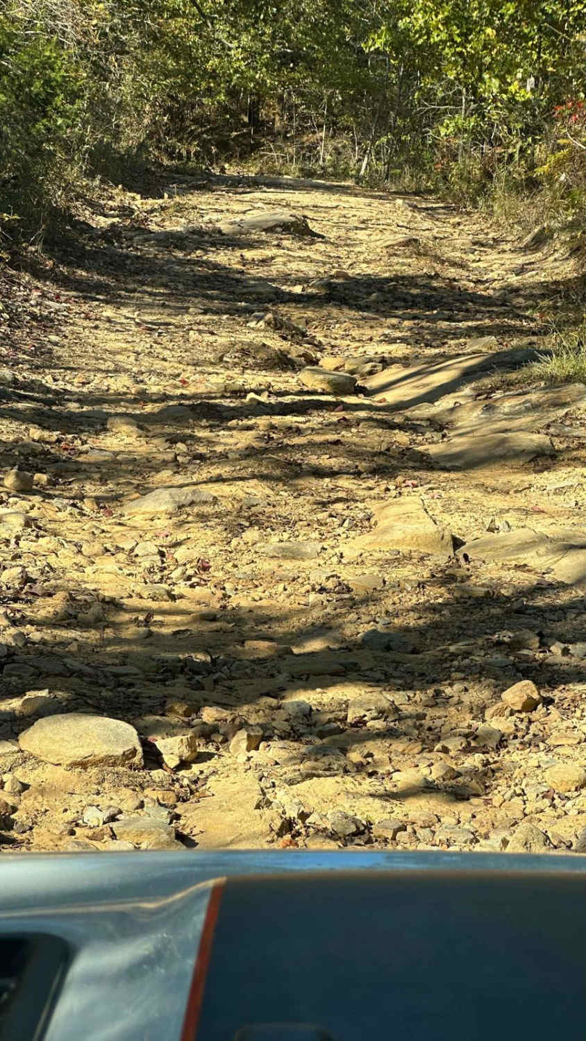
Trail Overview
Beginning at the northeast end of FS600-2 and traveling southwest, this service road is packed with dirt filled with irregular rocks, making for a rough ride if not airing down. The first couple of miles are similar before reaching the first of the washouts. Washouts are 1 to 3 feet deep and are avoidable in some places while unavoidable in others. The midpoint crosses pavement at Gunter's Rock Rd. and continues in the same direction; the lower half has more washouts, which are more challenging, where a spotter will benefit. The area inside Talladega Forest, near Cheaha State Park, is heavily wooded offering many hiking trails like the very popular Pinhoti Trail which runs 326 miles northeast into north Georgia. Traffic is light, with the occasional local sometimes gaining access from adjoining private gated roads.
Photos of FS600-2

Difficulty
Medium size washouts mixed with smooth and sharp rocks. Mostly packed dirt with some areas of loose dirt or mud in washouts.
Status Reports
FS600-2 can be accessed by the following ride types:
- High-Clearance 4x4
- SUV
- SxS (60")
- ATV (50")
- Dirt Bike
FS600-2 Map
Popular Trails
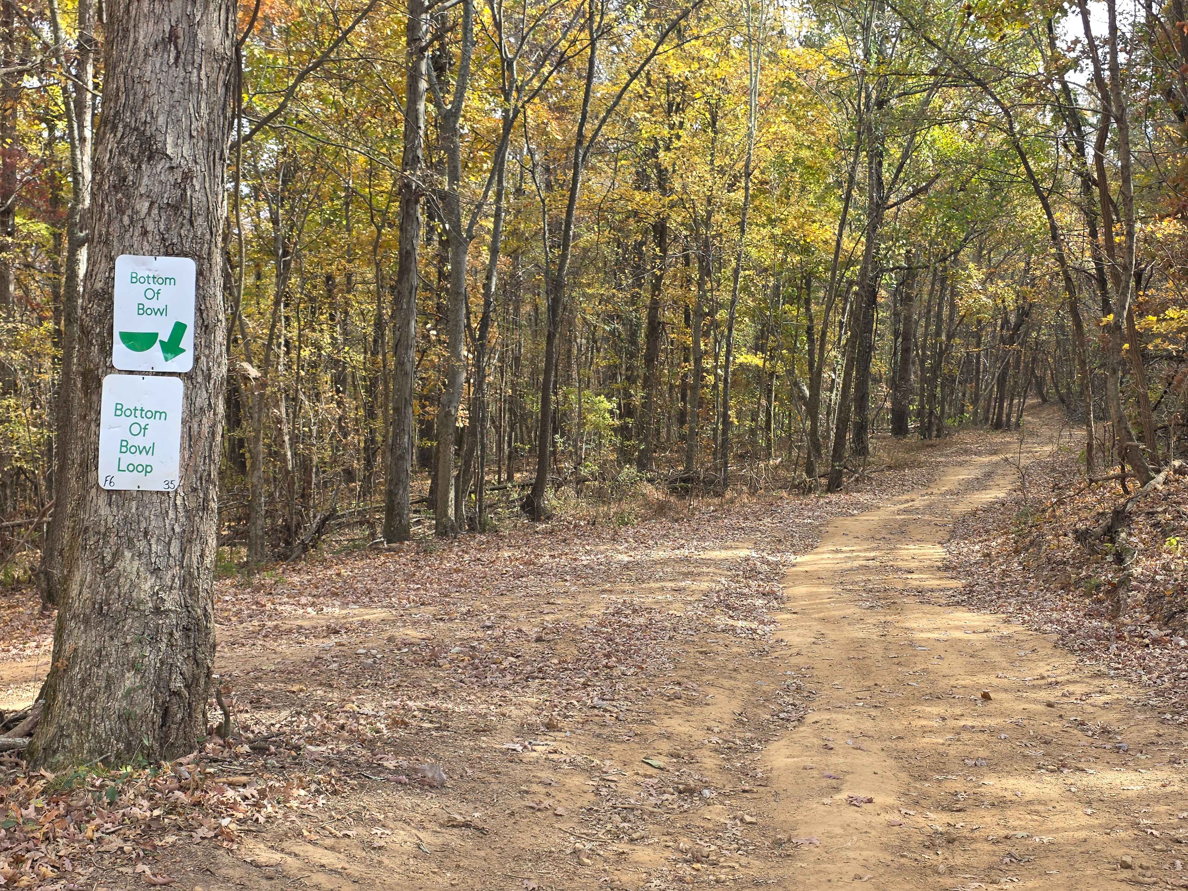
Bottom Of Bowl Loop

Turner Over Bypass
The onX Offroad Difference
onX Offroad combines trail photos, descriptions, difficulty ratings, width restrictions, seasonality, and more in a user-friendly interface. Available on all devices, with offline access and full compatibility with CarPlay and Android Auto. Discover what you’re missing today!