FS 208EA 2
Total Miles
1.5
Technical Rating
Best Time
Spring, Summer, Fall
Trail Type
Full-Width Road
Accessible By
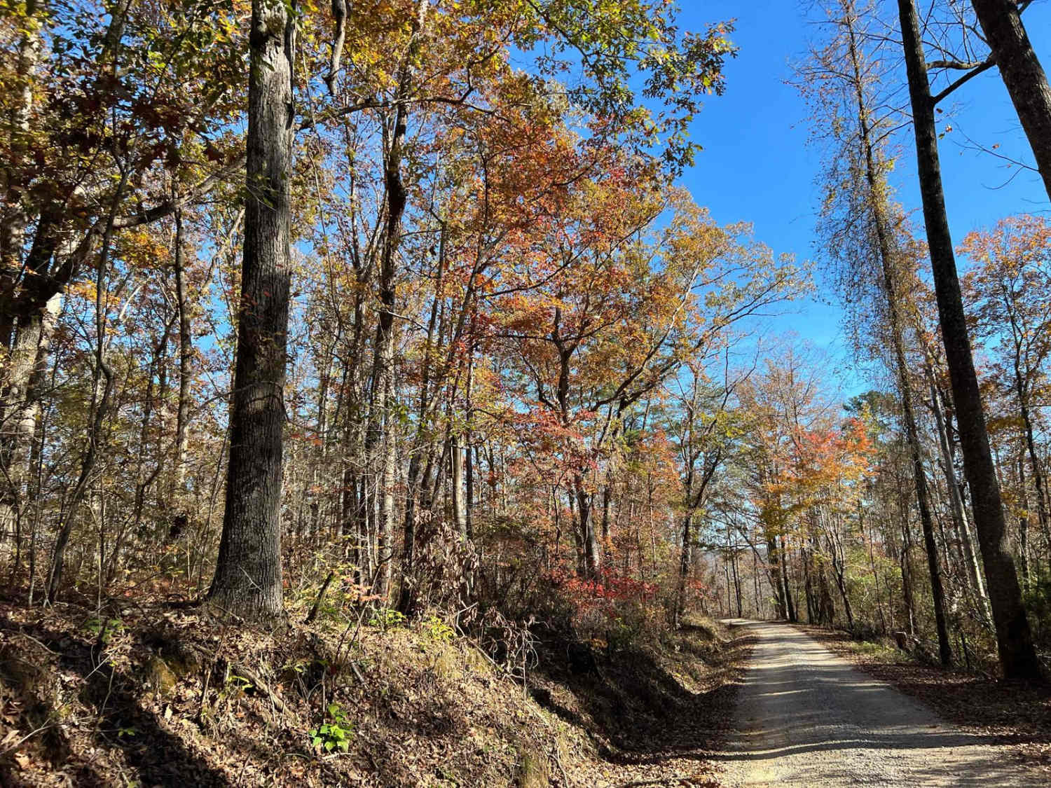
Trail Overview
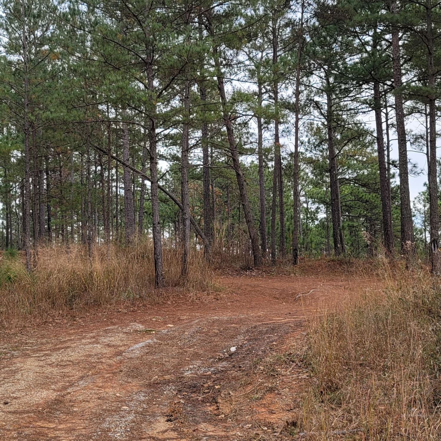
National Forest Service Road 208EA is a single-lane, two-track route known for its sharp hairpin turns and banked corners, offering a challenging yet rewarding drive through the Bankhead National Forest. Travelers should be cautious of a prominent rock protruding from the road and prepare for varying conditions. While most of the road is gravel, there are sections of slick dirt that can become particularly tricky after rain. Fallen trees are common in this area; though most have been cleared, it's wise to remain alert for any obstructions. Always tread lightly, leave no trace, and ensure your vehicle is equipped for backcountry travel to enjoy this rugged and scenic route safely.
Photos of FS 208EA 2

Difficulty
This trail rating reflects the well-maintained roads found in the Bankhead area. However, caution is advised during rain or snow, as conditions can change. Be mindful of blind corners, wildlife, off-camber turns, and debris on the roadway.
Status Reports
FS 208EA 2 can be accessed by the following ride types:
- High-Clearance 4x4
- SUV
- SxS (60")
- ATV (50")
- Dirt Bike
FS 208EA 2 Map
Popular Trails

#114 Hardline Trail

Pick Your Line
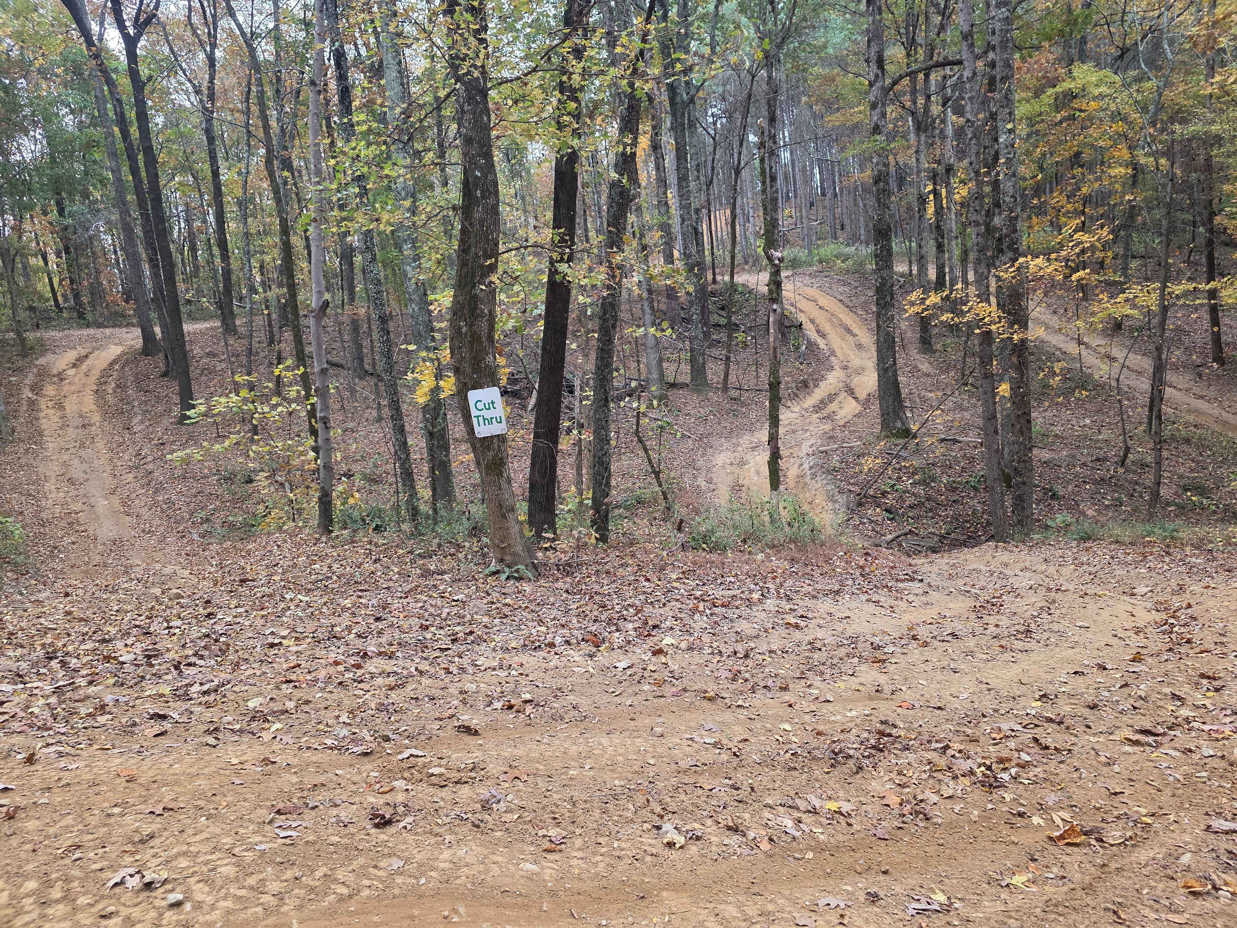
The Pines Cut Thru
USFSR #500
The onX Offroad Difference
onX Offroad combines trail photos, descriptions, difficulty ratings, width restrictions, seasonality, and more in a user-friendly interface. Available on all devices, with offline access and full compatibility with CarPlay and Android Auto. Discover what you’re missing today!