Betsy Gap Trail
Total Miles
2.6
Technical Rating
Best Time
Winter, Spring, Summer
Trail Type
Full-Width Road
Accessible By
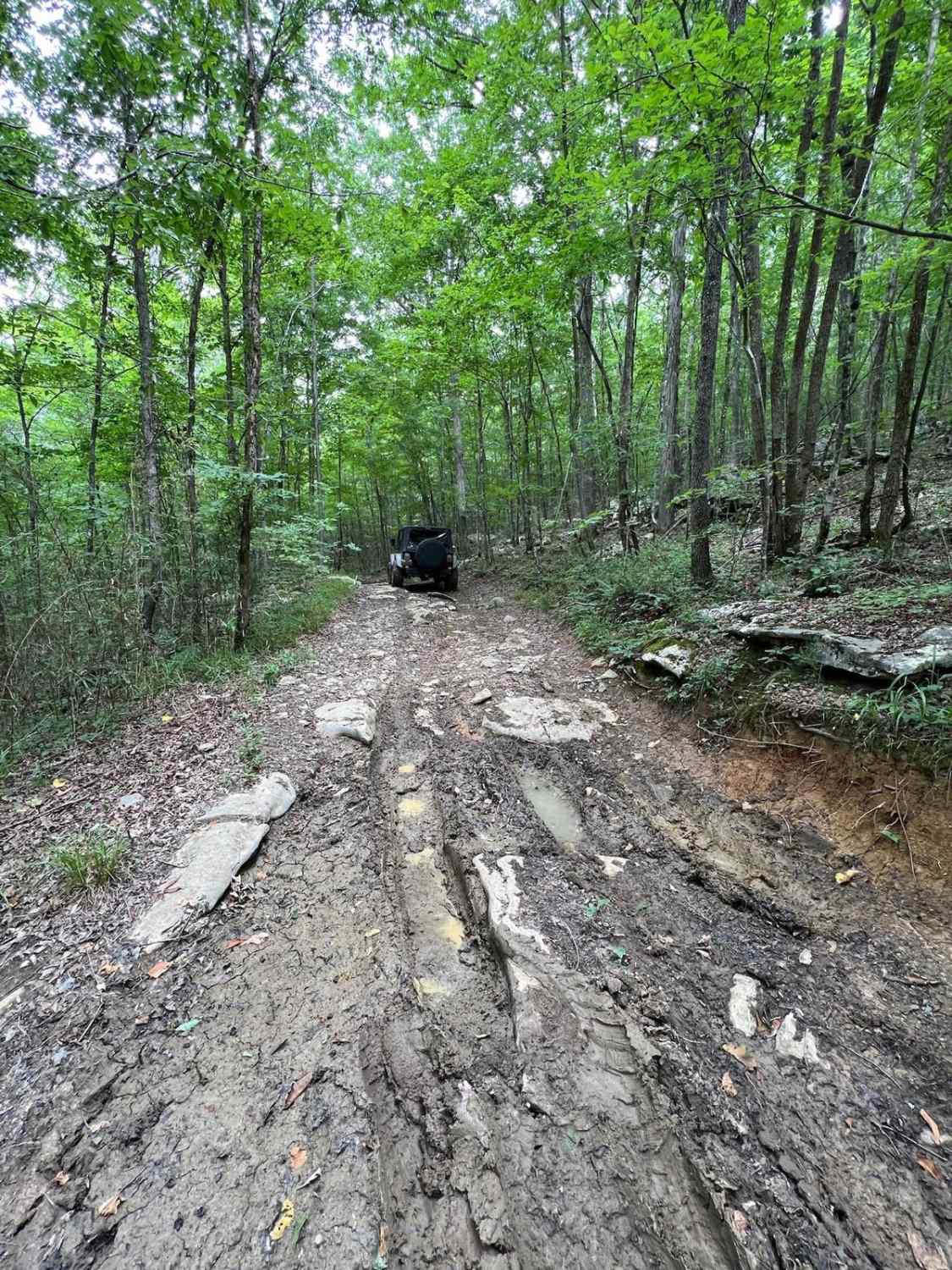
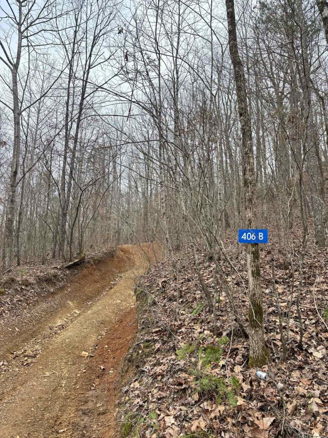
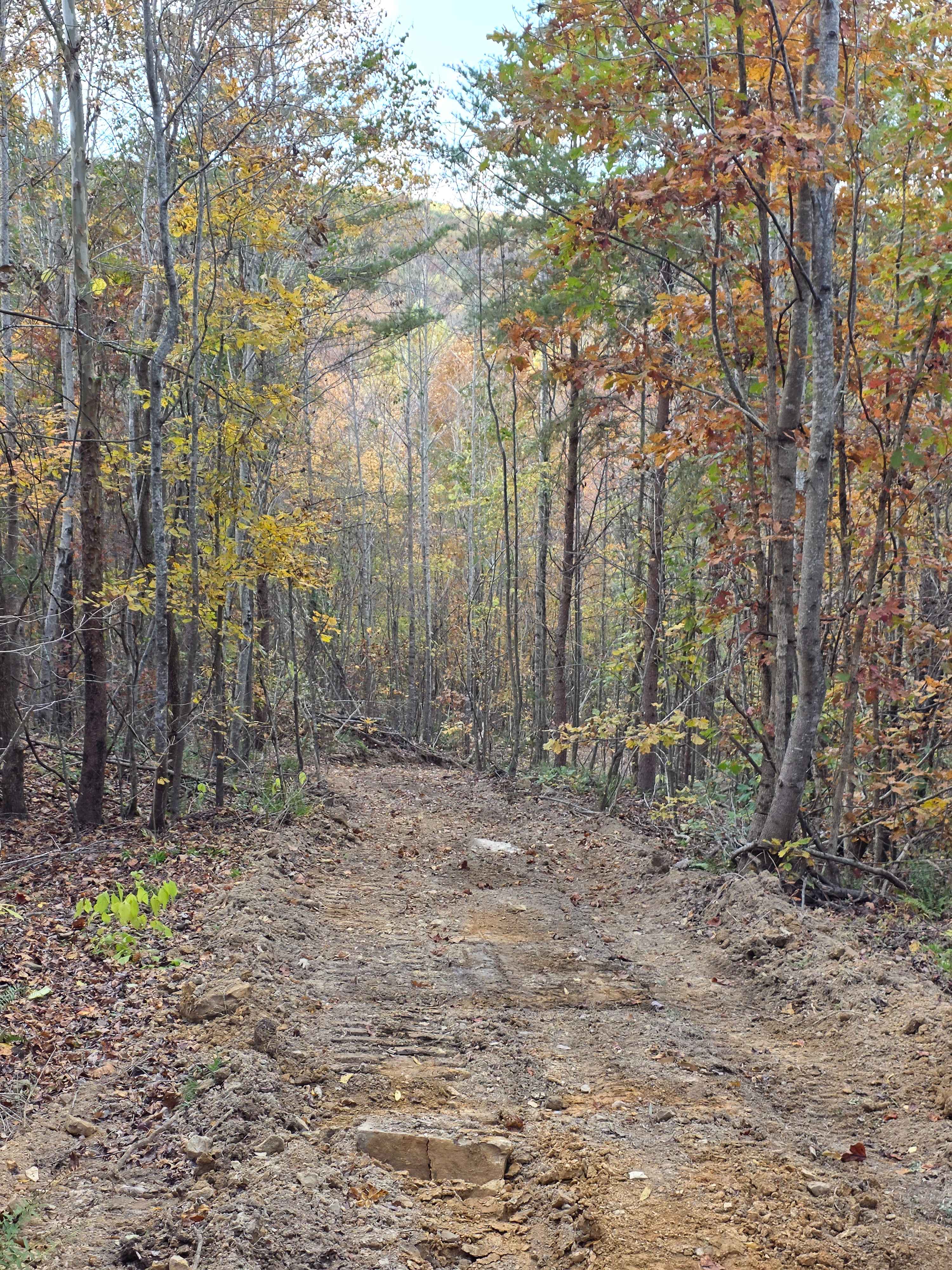
Trail Overview
This is a bi-directional trail that connects Little Coon River Trail to Poplar Springs Trail. When running from Little Coon River Trail, you will start out by climbing up an area of large slick rock and dirt. Some areas on the elevation change will be loose rock that can cause some traction issues. There will be a few sharp turns and then the trail will have smaller rocks with a steady incline. There are a few areas where there will be some slick areas during times of rain. This is an easier trail that can be done without lockers normally. The trail is prone to having more trees fall than the surrounding trails so be prepared to remove the tree to continue or turn around. This trail does continue on into Tennessee but there is a turnaround at the state line where you can go back and complete the Poplar Springs Trail.
Photos of Betsy Gap Trail

Difficulty
This trail has a few rocky areas and obstacles that require some thought to cross, but the majority of the trail will be easily traversed with most higher clearance vehicles.
Status Reports
Betsy Gap Trail can be accessed by the following ride types:
- High-Clearance 4x4
- SUV
Betsy Gap Trail Map
Popular Trails

#39 Brokefoot Lower

#136 - Fatty's Crack
Hardwood Hollow Bypass
The onX Offroad Difference
onX Offroad combines trail photos, descriptions, difficulty ratings, width restrictions, seasonality, and more in a user-friendly interface. Available on all devices, with offline access and full compatibility with CarPlay and Android Auto. Discover what you’re missing today!