Mountains Above Colonia Sante Fe
Total Kilometers
14.7
Technical Rating
Best Time
Spring, Fall, Winter, Summer
Trail Type
Full-Width Road
Accessible By
Trail Overview
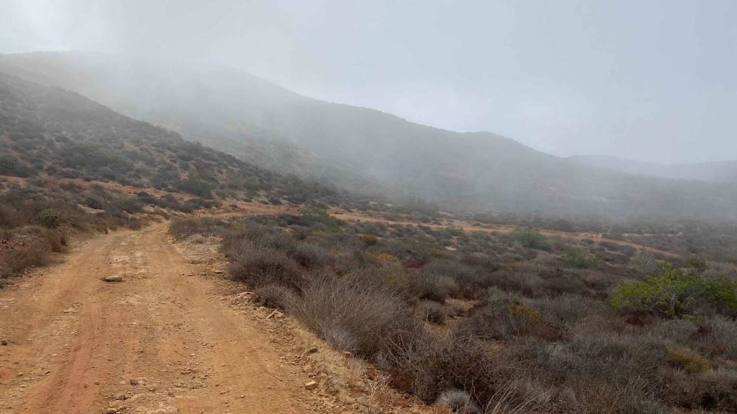
This route begins in the colonial Santa Fe neighborhood, located between Vicente Guerrero and San Quintin, and zigzags through a ranch before ascending into the hills. Although there are a few areas with trash at the start, the landscape quickly clears as you enter the more remote sections. The trail is easy overall but does require four-wheel drive for a steep section with rain ruts and chunky rocks. Otherwise, the road is smooth and enjoyable, winding through the mountains with stunning views of cacti, coyotes, rabbits, and various lizards. A particularly green, wooded area is home to an unusually large flock of quail, numbering between 100 and 200. At the summit, there's a more challenging onX-mapped trail to the left, which loops back to Vicente Guerrero, or you can continue straight for a longer route to explore.
Photos of Mountains Above Colonia Sante Fe

Difficulty
This route is not particularly difficult, though there is one steep section that will likely require four-wheel drive. This rating applies to dry conditions, but recent storms or heavy rains can significantly increase the difficulty of the trail.
Status Reports
Mountains Above Colonia Sante Fe can be accessed by the following ride types:
- High-Clearance 4x4
- SUV
- SxS (60")
- ATV (50")
- Dirt Bike
Mountains Above Colonia Sante Fe Map
Popular Trails

Road to Four Ranches

Coastal Route to Punta San Jose

El Compadre

La Rumorosa to Mesa Colorado
The onX Offroad Difference
onX Offroad combines trail photos, descriptions, difficulty ratings, width restrictions, seasonality, and more in a user-friendly interface. Available on all devices, with offline access and full compatibility with CarPlay and Android Auto. Discover what you’re missing today!