Cerro Santa Teresa
Total Kilometers
17.2
Technical Rating
Best Time
Spring, Summer, Fall, Winter
Trail Type
Full-Width Road
Accessible By
Trail Overview
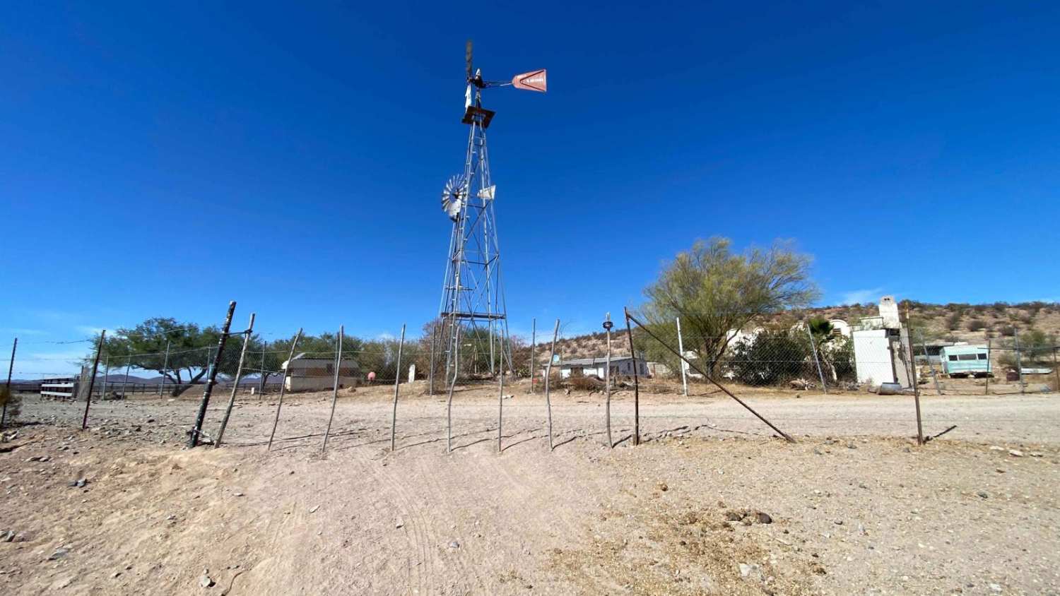
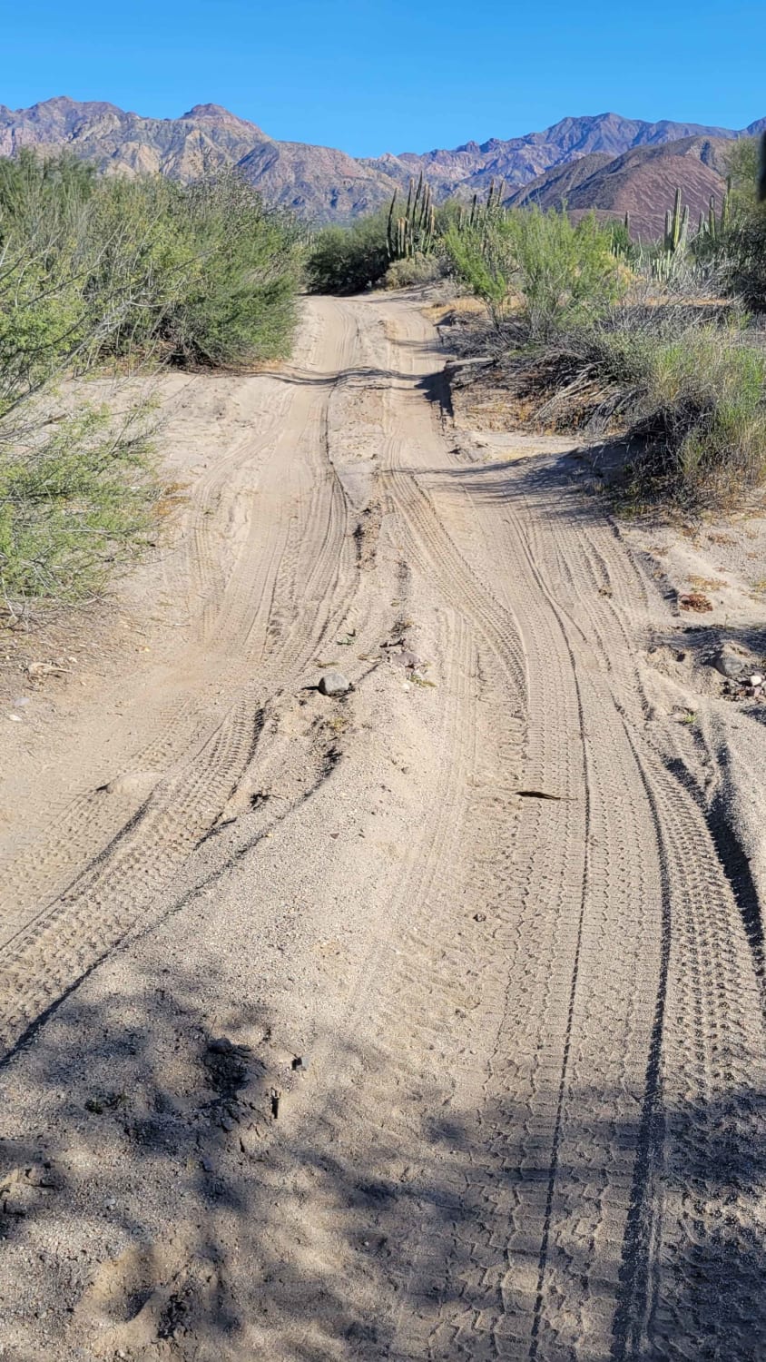
This off-road trail loop offers access from either the northeast or southwest, just off Highway 1. Entering from the northeast, you'll encounter two unlocked gates--simply open, pass through, and close them behind you, as the road provides access to several ranches and government-regulated land. The second gate is near a residence, so if you see anyone nearby, a friendly nod or greeting is polite, though access is typically permitted. The desert vegetation here is sparse yet scenic, and the trail itself, while straightforward, allows for a smooth, enjoyable drive. Along the route, you'll find about a dozen flat, gravel-covered spots suitable for camping if you're looking for a rest stop. After a right turn past a small water feature, the trail crosses a few shallow arroyos and passes through open ranchland. At the end of the loop, you can continue straight to the highway or take a left onto the Checkpoint loop, which will bring you further south on Highway 1.
Photos of Cerro Santa Teresa

Difficulty
While generally an easy trail, a few sandy sections and arroyo crossings may require 4WD in adverse weather conditions.
Status Reports
Cerro Santa Teresa can be accessed by the following ride types:
- High-Clearance 4x4
- SUV
- SxS (60")
- ATV (50")
- Dirt Bike
Cerro Santa Teresa Map
Popular Trails

Cerro Colorado 27

Mision Santa Maria Crossover

Beach Road to the Coastal Route
Bahia de las Animas
The onX Offroad Difference
onX Offroad combines trail photos, descriptions, difficulty ratings, width restrictions, seasonality, and more in a user-friendly interface. Available on all devices, with offline access and full compatibility with CarPlay and Android Auto. Discover what you’re missing today!