10M29
Total Miles
2.2
Technical Rating
Best Time
Spring, Fall
Trail Type
50" Trail
Accessible By
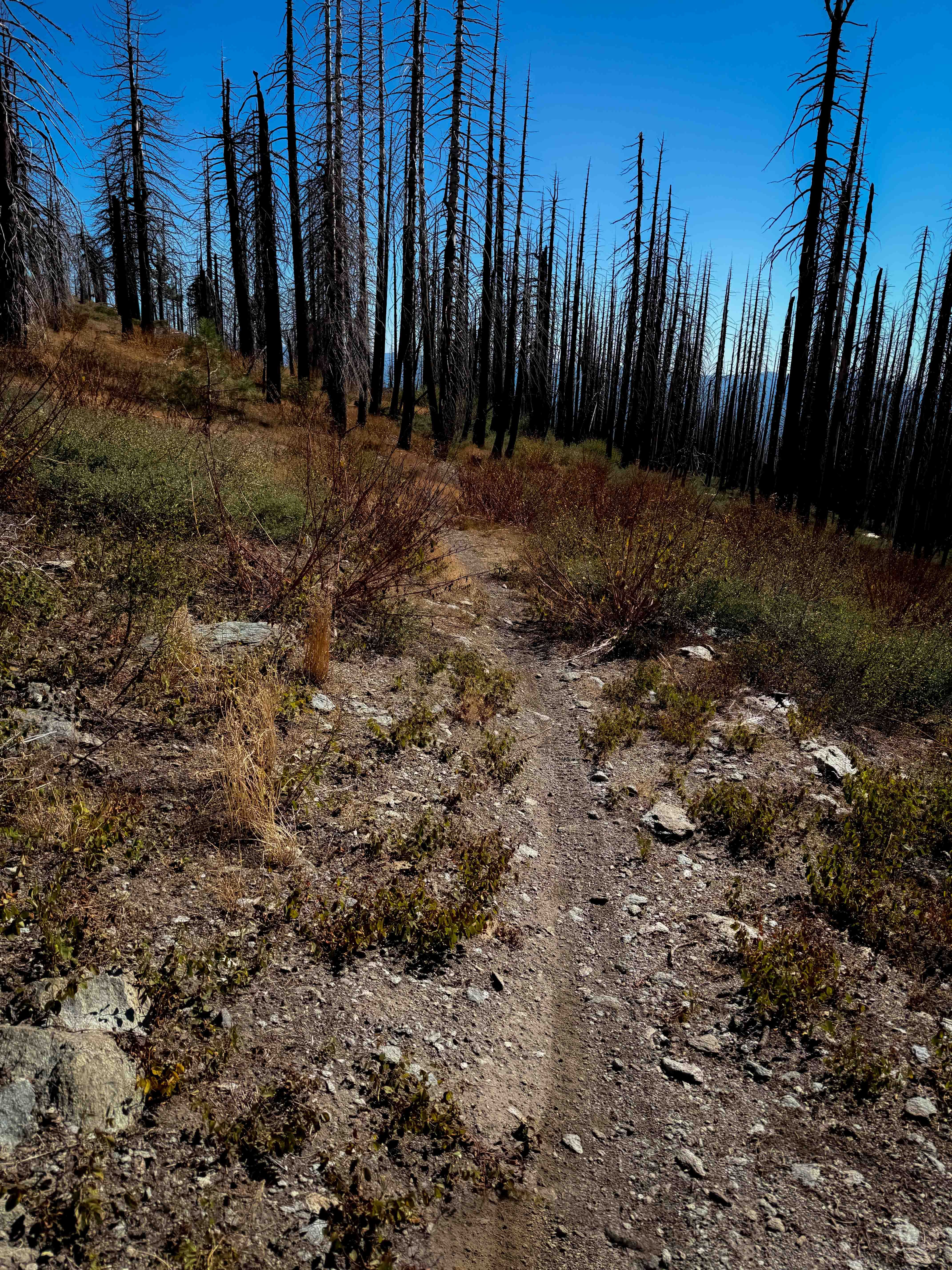
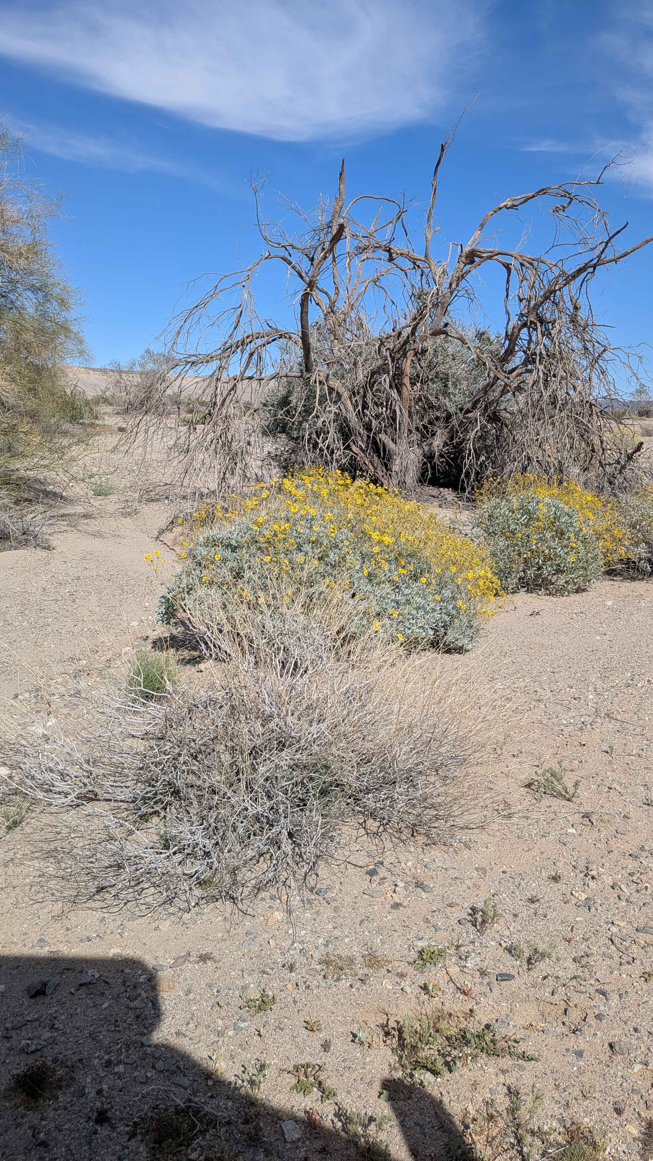
Trail Overview
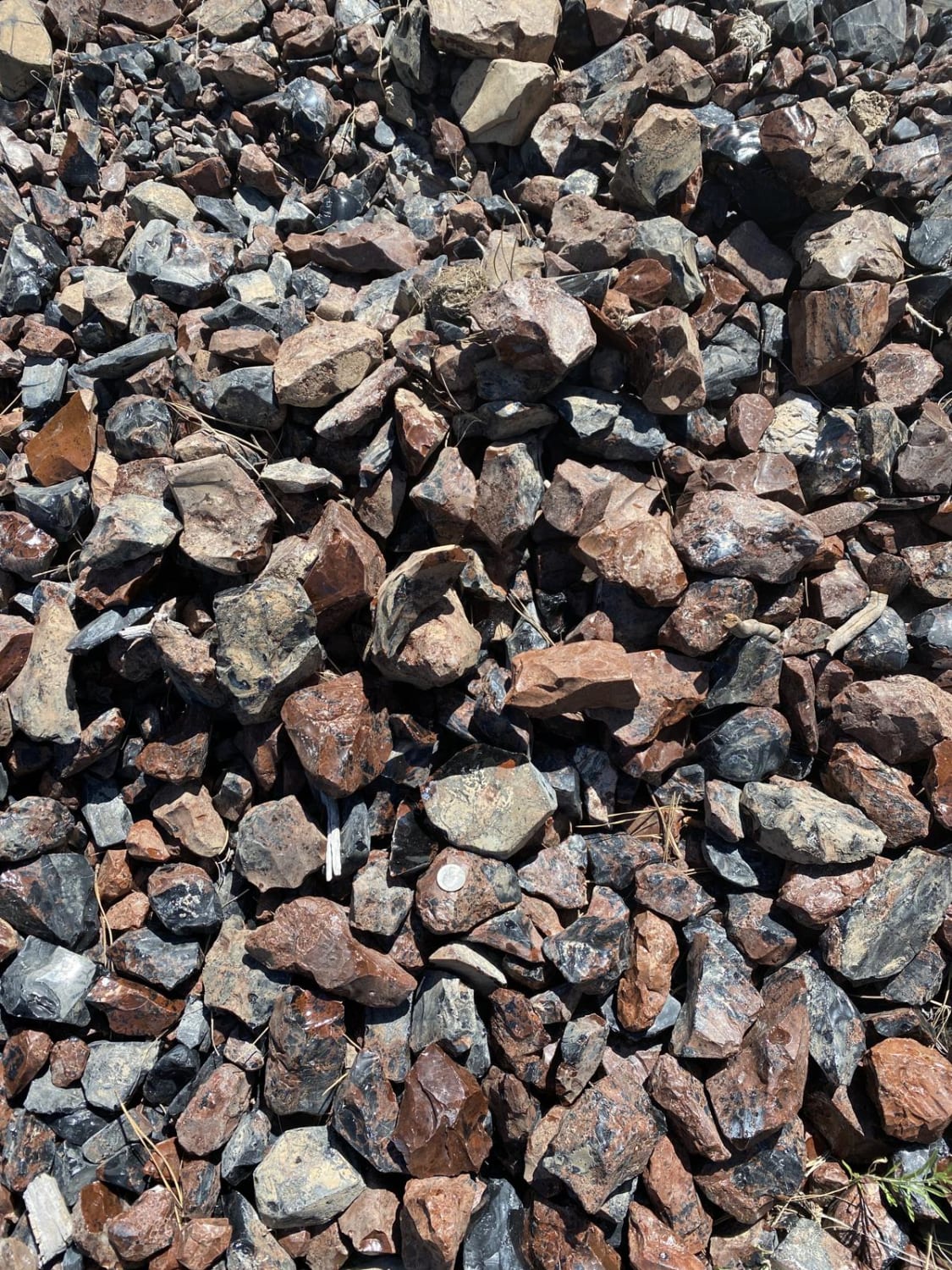
This is one of only a few ATV options in the Mount Hough Trail System. It starts near the Mount Hough Trailhead on the north end at a marked entrance, and descends down several wide and gradual switchbacks. The trail is narrow and primitive, with not many tracks, and it doesn't look very ridden by ATVs. It goes over minor embedded rock surfaces and loose rock, but is mostly smooth, with some overgrown grass. It goes through an old burn area, so there's potential for downed logs, but the trail was clear of any downfall at the time. The southern half of the trail follows what looks like used to be an old shelf road, being wide and flat. After 2.3 miles and 700 feet of elevation loss, it ends on 25N73B on the south end.
Photos of 10M29

Difficulty
Overall this is an easy trail as it is gradual and smooth. However, there are a few sections that will feel narrow for ATVs, as this trail looks mostly ridden by dirt bikes.
Status Reports
10M29 can be accessed by the following ride types:
- ATV (50")
- Dirt Bike
10M29 Map
Popular Trails

Sawmill Meadows Road

Russel Camp
Wander Mountains
The onX Offroad Difference
onX Offroad combines trail photos, descriptions, difficulty ratings, width restrictions, seasonality, and more in a user-friendly interface. Available on all devices, with offline access and full compatibility with CarPlay and Android Auto. Discover what you’re missing today!