Sherar Burn Road
Total Miles
8.9
Technical Rating
Best Time
Summer, Fall
Trail Type
Full-Width Road
Accessible By
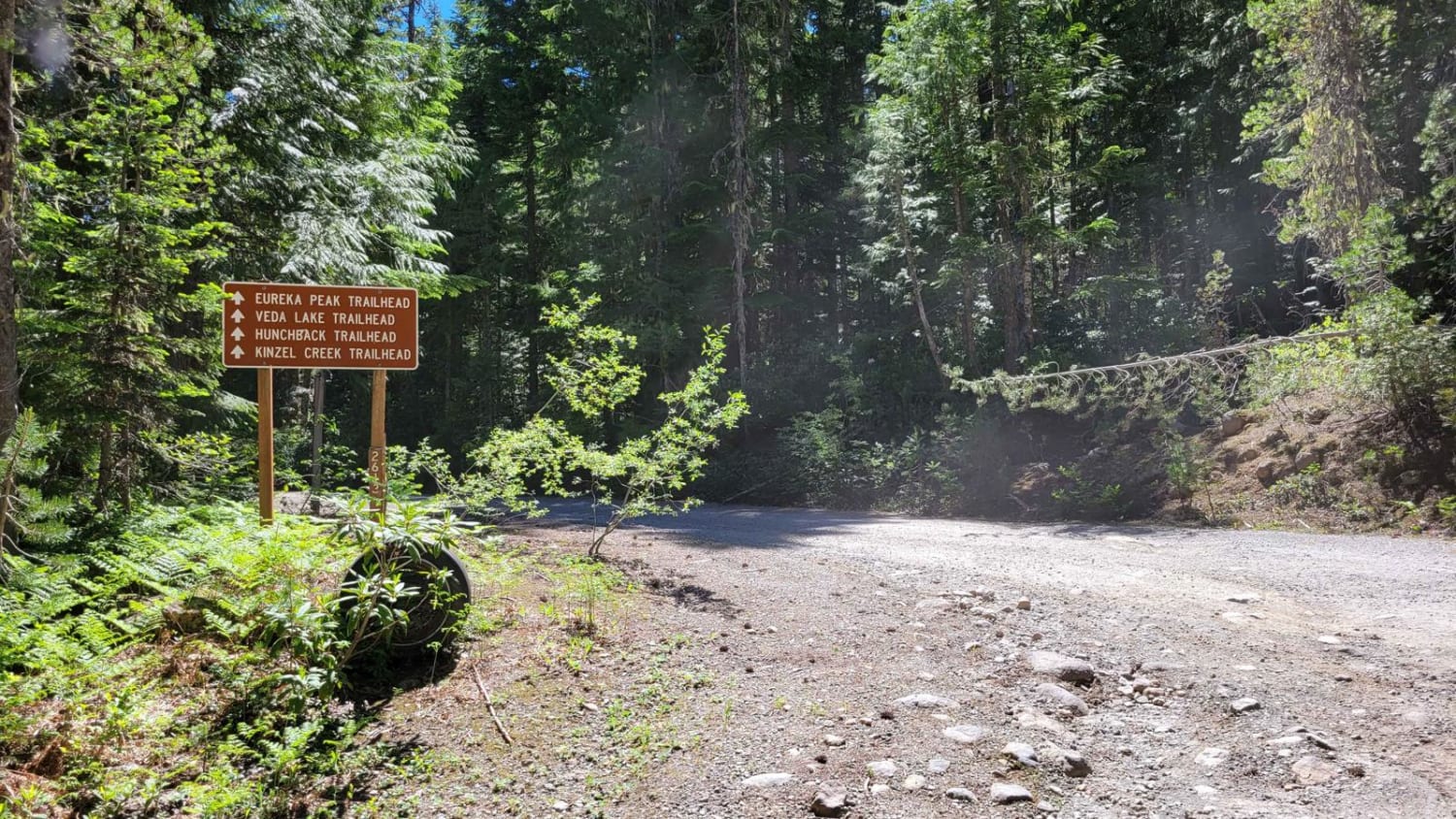
Trail Overview
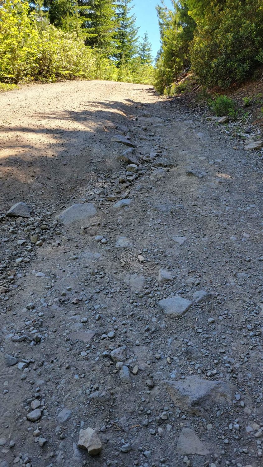
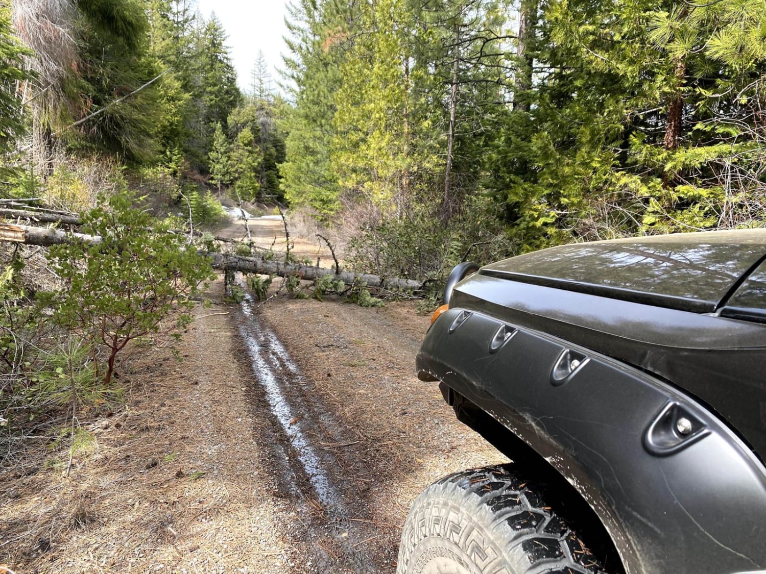
This trail begins easy and mild, but the further up and back you travel, the more rocky and overgrown it becomes. Erosion ruts and potholes are present throughout the trail - some ground clearance is advised. Trail debris (downed trees) are possible. About four miles into the trail, it begins to become more overgrown. Beyond this point, it only becomes more and more overgrown. Full-sized vehicles will definitely be scratched, so be advised. The trail ends at a "campground" at Kinzel Lake - there really isn't anything but a few open spaces and an odd rock structure. Kinzel Lake is tiny but beautiful. Trail not maintained in winter months.
Photos of Sherar Burn Road
Difficulty
Uneven, rutted dirt trail with potential for loose rocks and sandy washes. Water crossings less than a foot deep. Potential for mud holes and trail obstacles up to 12", including ledges and short, steep grades. Roads are typically one vehicle wide with places to pass.
Status Reports
Sherar Burn Road can be accessed by the following ride types:
- High-Clearance 4x4
- SUV
- SxS (60")
- ATV (50")
- Dirt Bike
Sherar Burn Road Map
Popular Trails

#78 (Moderate)

Kart - FS 1004158
Fish Lake Ridge Run
The onX Offroad Difference
onX Offroad combines trail photos, descriptions, difficulty ratings, width restrictions, seasonality, and more in a user-friendly interface. Available on all devices, with offline access and full compatibility with CarPlay and Android Auto. Discover what you’re missing today!