Wendy Gap - FS 25S17
Total Miles
2.9
Technical Rating
Best Time
Fall, Summer, Spring
Trail Type
Full-Width Road
Accessible By
Trail Overview
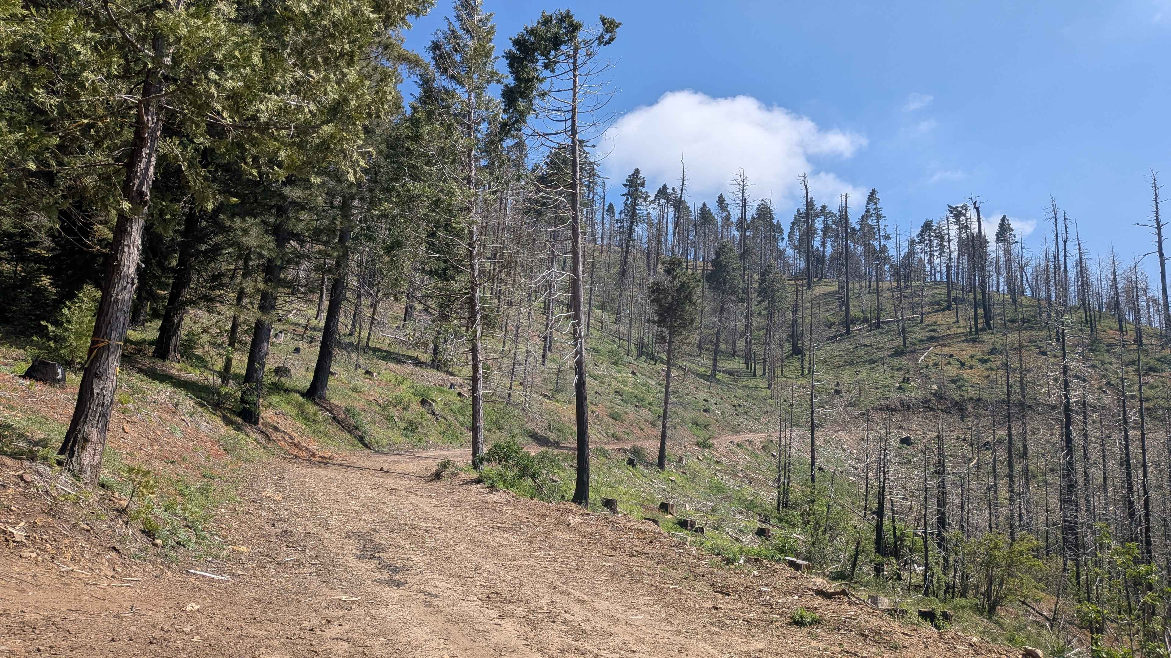
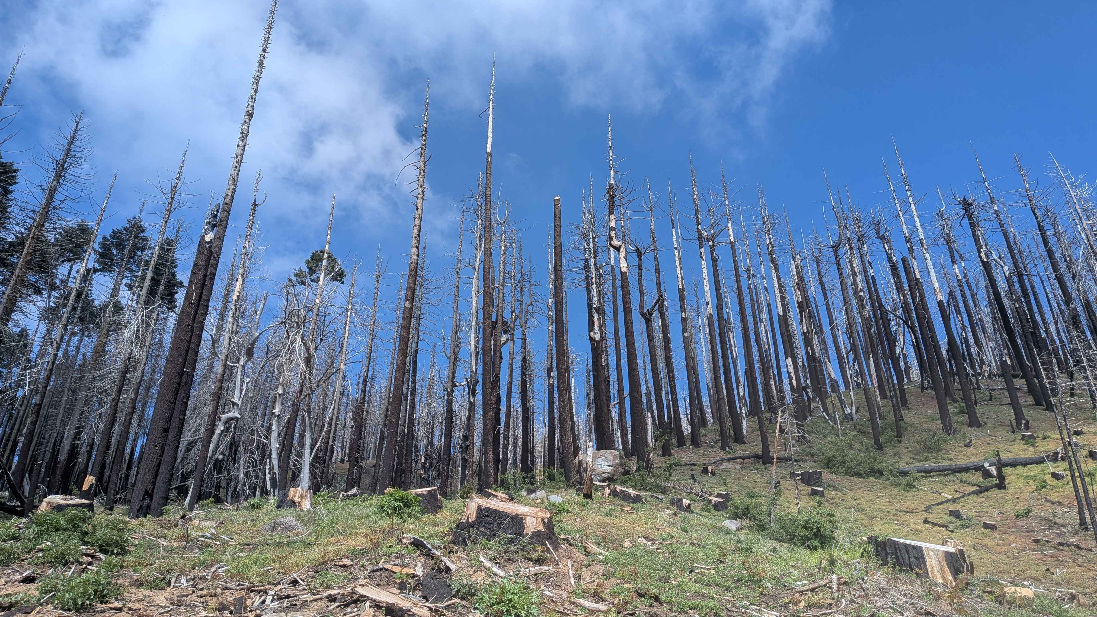
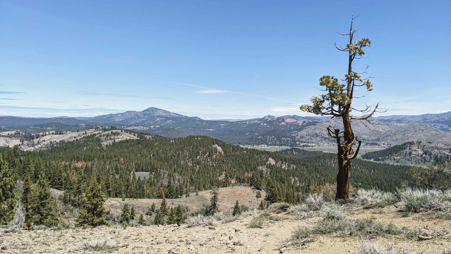
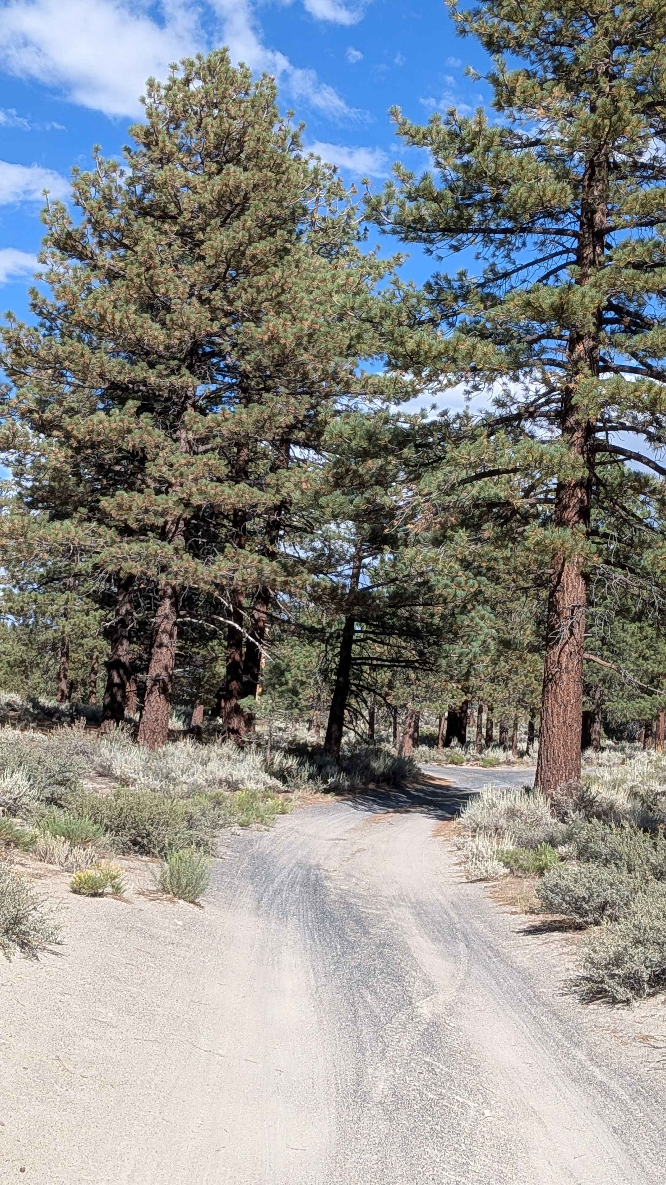
Wendy Gap FS 25S17 departs from Rancheria Road near the Summit Forest Service Ranger Station and loops back to the same road through the heart of Sequoia National Forest. The trail runs along a shelf road for the majority of its length, delivering canyon and valley views below and forested mountain scenery throughout. Tall pine trees line much of the route, though the impact of the 2021 French Fire is clearly visible in stretches, offering a stark contrast between burned sections and surviving forest. Cattle graze the area seasonally, so watch for livestock on the trail.
Photos of Wendy Gap - FS 25S17
Difficulty
The surface is generally smooth and well-maintained, with ruts under 6 inches appearing in sections. Muddy conditions are possible after rain or during cooler months when snow melt is active, which represents the primary variable hazard on this otherwise approachable route.
Status Reports
Wendy Gap - FS 25S17 can be accessed by the following ride types:
- High-Clearance 4x4
- SUV
Wendy Gap - FS 25S17 Map
Popular Trails
Salt Spring Valley - 18N38
Pumice Canyon - FS 3S41
Beckwourth - NF23N03
Forest Service Road 3S130
The onX Offroad Difference
onX Offroad combines trail photos, descriptions, difficulty ratings, width restrictions, seasonality, and more in a user-friendly interface. Available on all devices, with offline access and full compatibility with CarPlay and Android Auto. Discover what you’re missing today!