Tumbling Creek Road
Total Miles
7.9
Technical Rating
Best Time
Spring, Summer, Fall, Winter
Trail Type
Full-Width Road
Accessible By
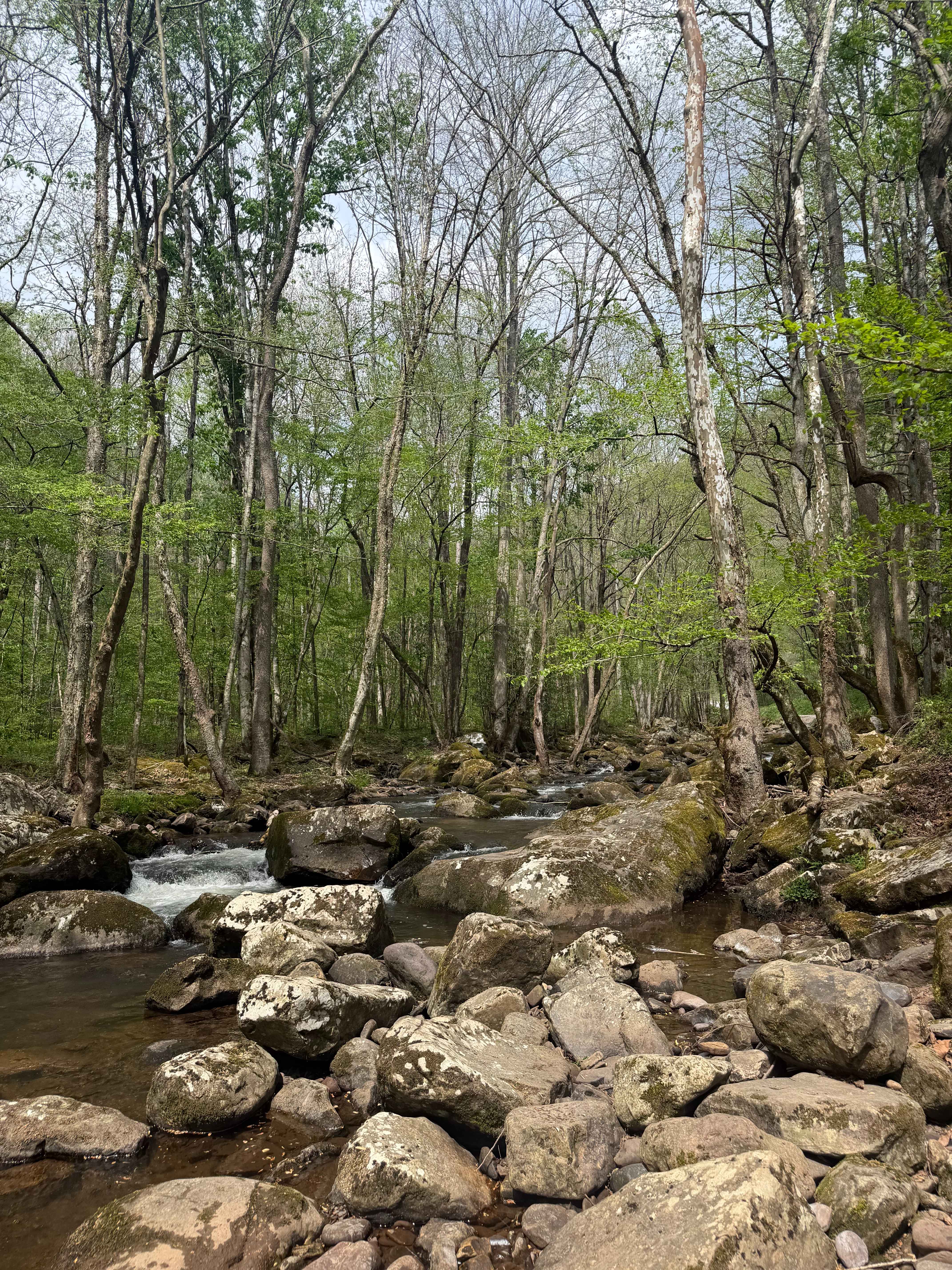
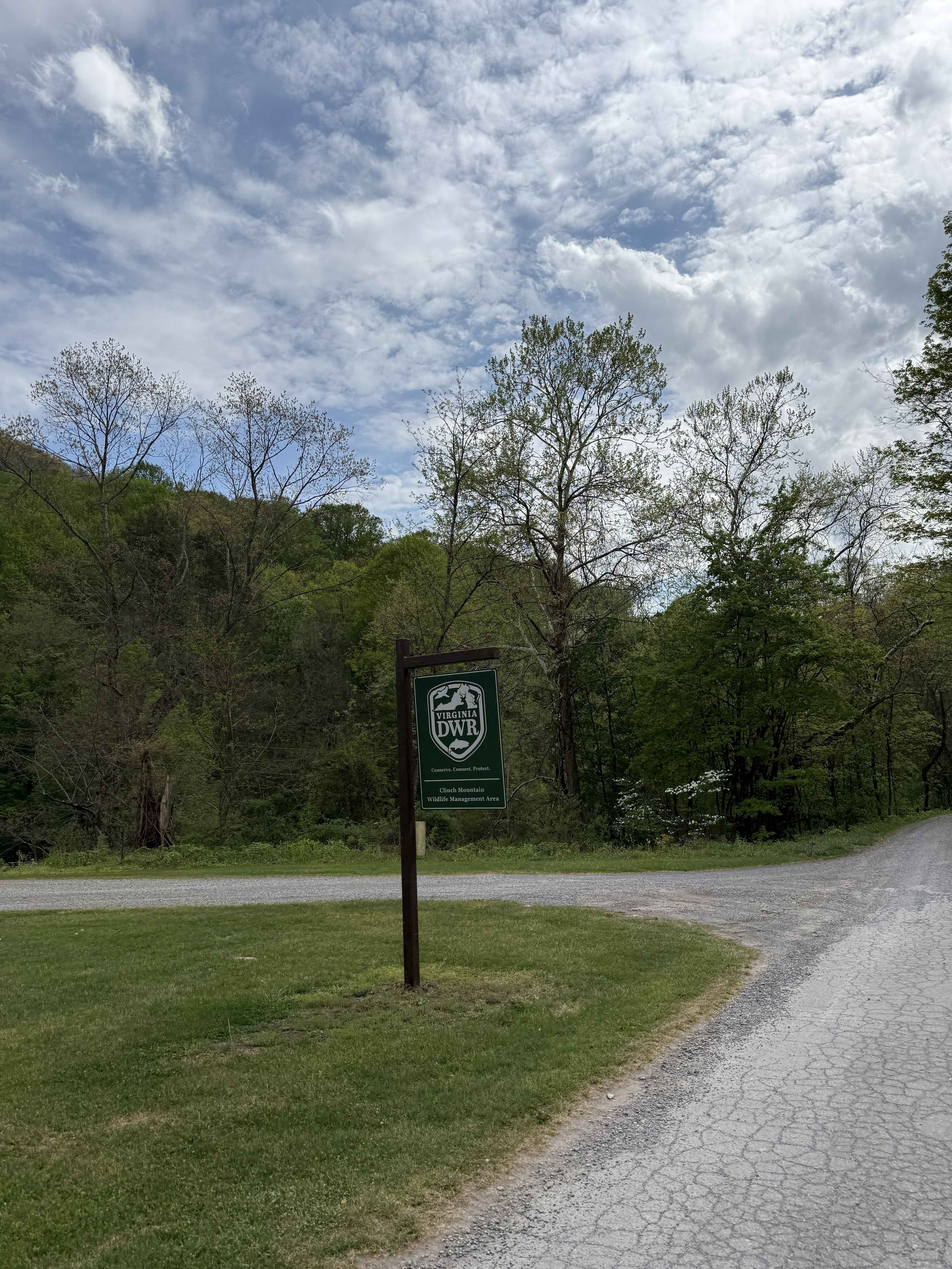
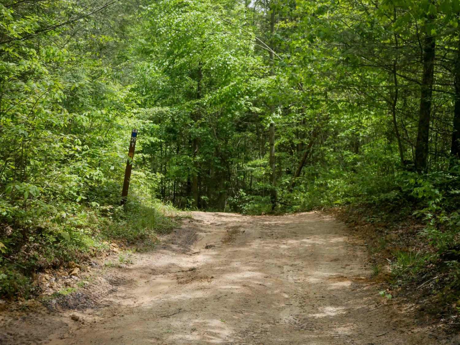
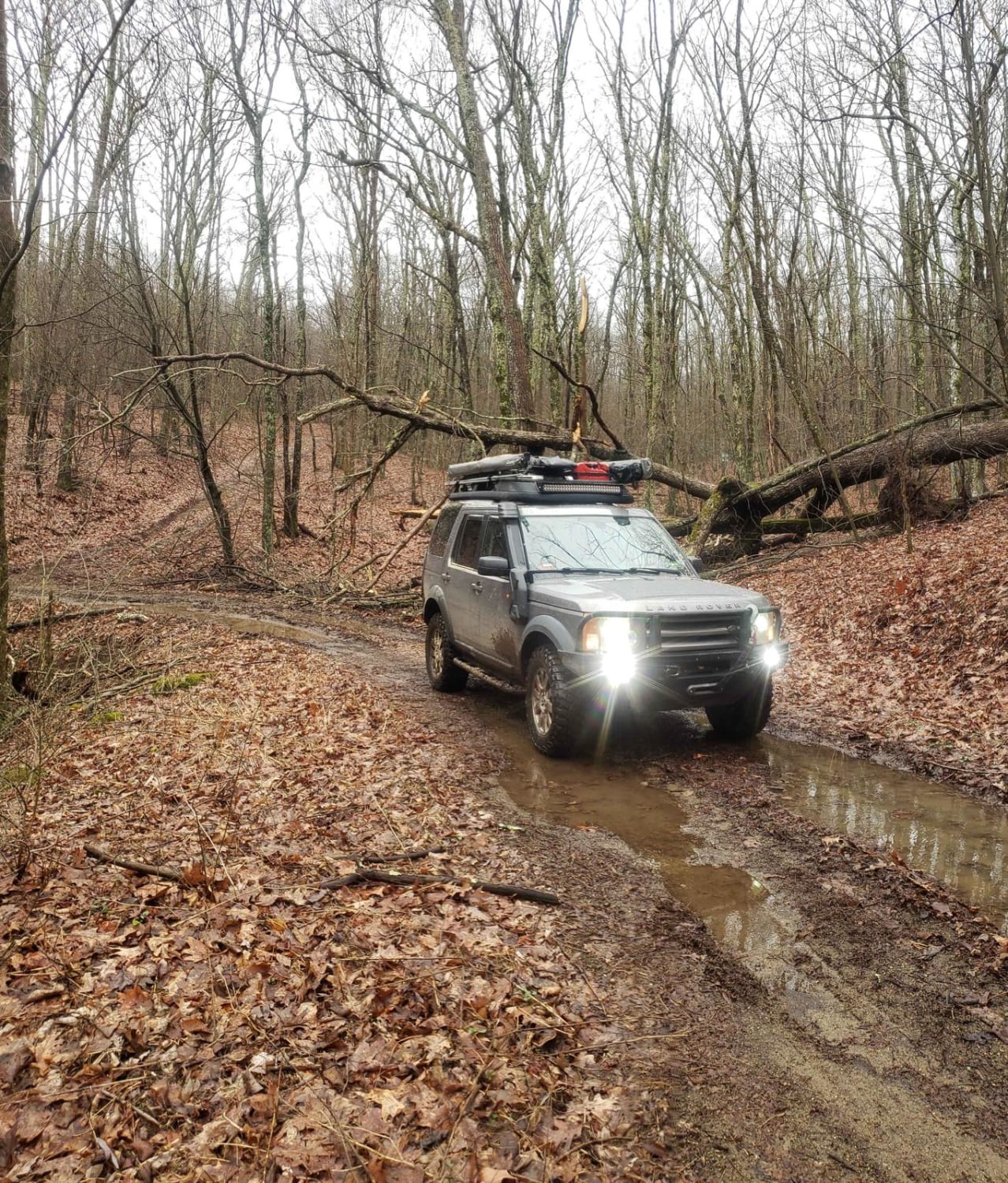
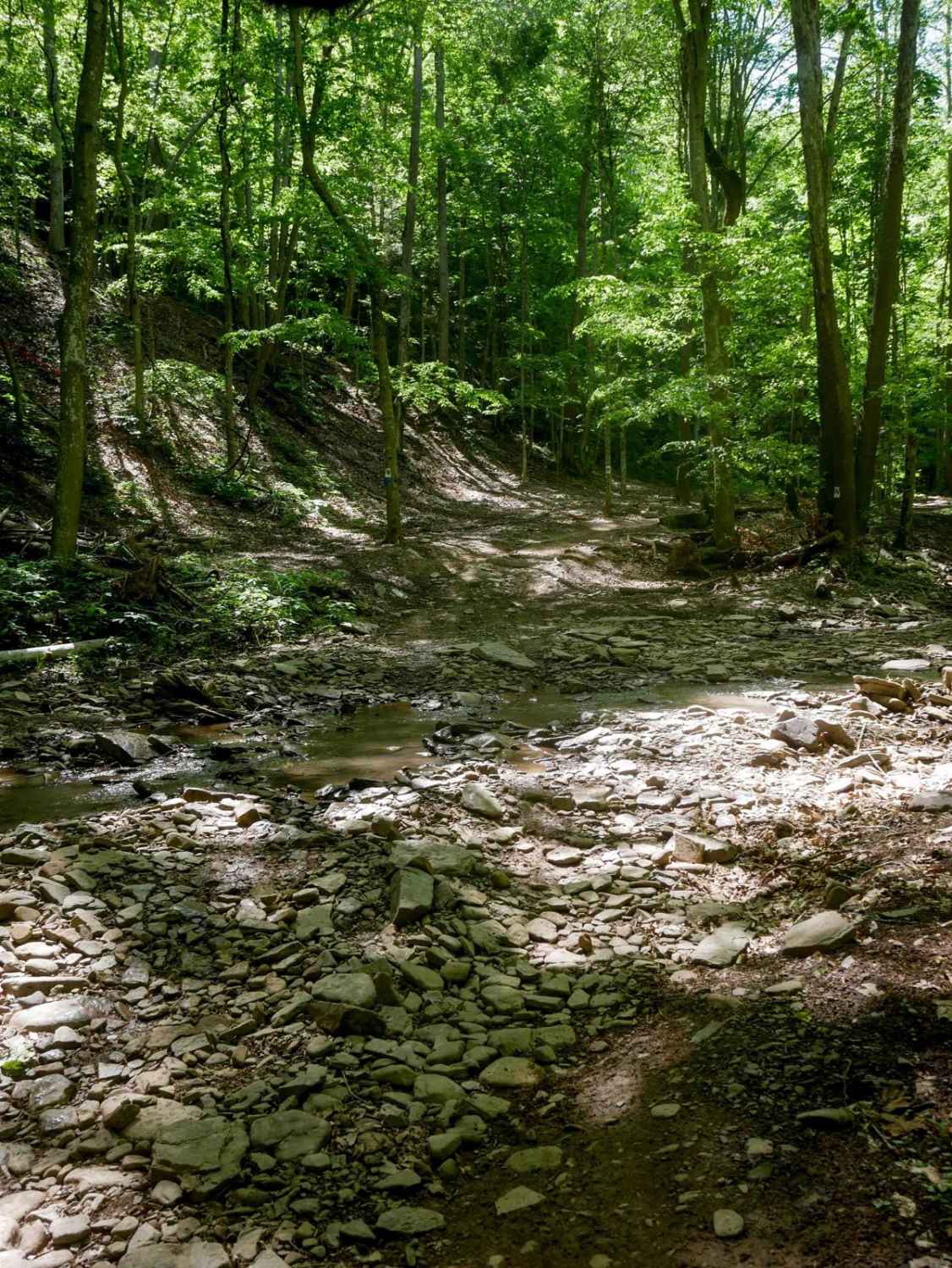
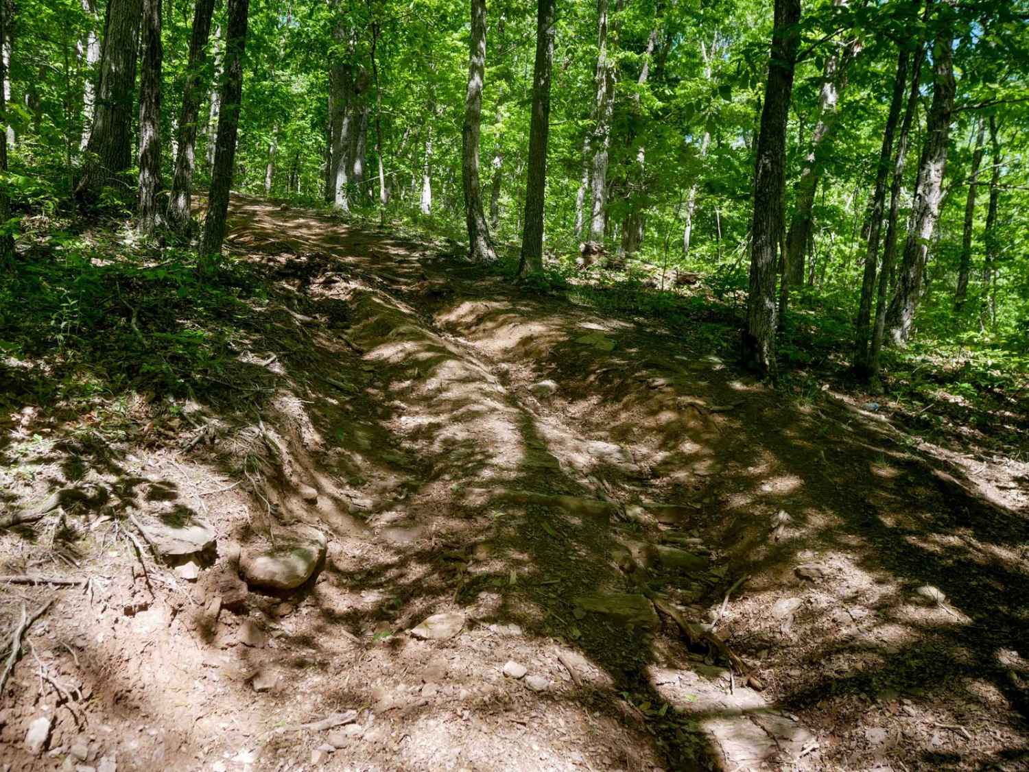
Trail Overview
Clinch Mountain's Tumbling Creek route is a breathtaking ascent through the heart of the Clinch Mountain Wildlife Management Area (WMA). This two-way gravel road follows the rushing waters of Tumbling Creek before beginning a dramatic climb to the summit of Clinch Mountain, ending at Jackson's Gap. Drivers should be prepared for a series of steep switchbacks and narrow shelf sections with significant drop-offs that offer sweeping, unobstructed views of the surrounding valleys. This area has limited cell service. This Access is managed by the DWR; a valid WMA access permit, or a Virginia hunting/fishing license, is required to travel these roads.
Photos of Tumbling Creek Road
Difficulty
This is a well-maintained gravel and dirt road with gentle grades. It is safe for beginners and stock 4x4 or high-clearance 2WD vehicles. Technical difficulty can increase significantly during or after inclement weather due to the step accent.
Status Reports
Tumbling Creek Road can be accessed by the following ride types:
- High-Clearance 4x4
- SUV
Tumbling Creek Road Map
Popular Trails
Greasy Springs
Trail 23 Sawmill Run
The onX Offroad Difference
onX Offroad combines trail photos, descriptions, difficulty ratings, width restrictions, seasonality, and more in a user-friendly interface. Available on all devices, with offline access and full compatibility with CarPlay and Android Auto. Discover what you’re missing today!