Sand Landing
Total Miles
2.7
Technical Rating
Best Time
Spring, Summer, Fall, Winter
Trail Type
Full-Width Road
Accessible By
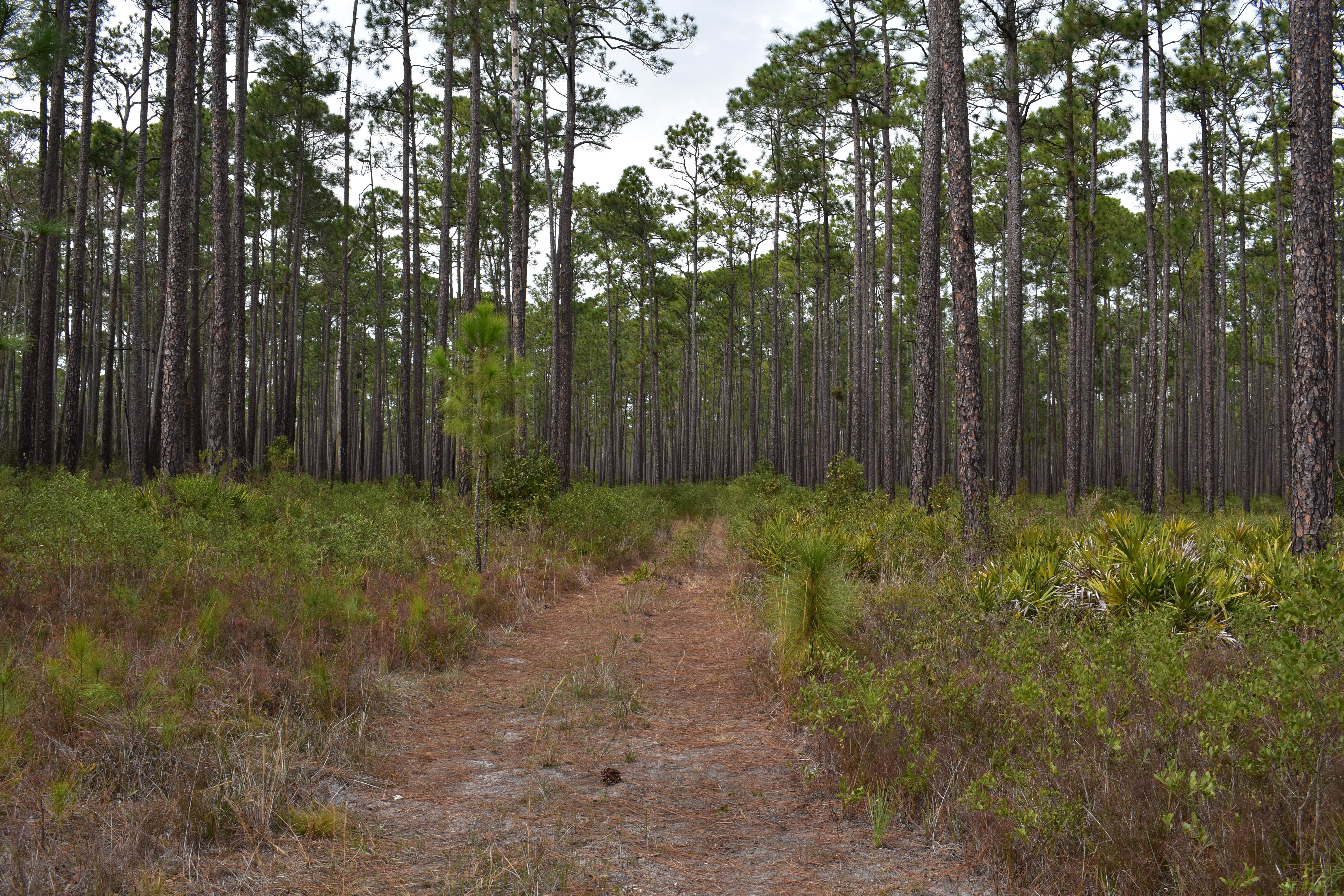
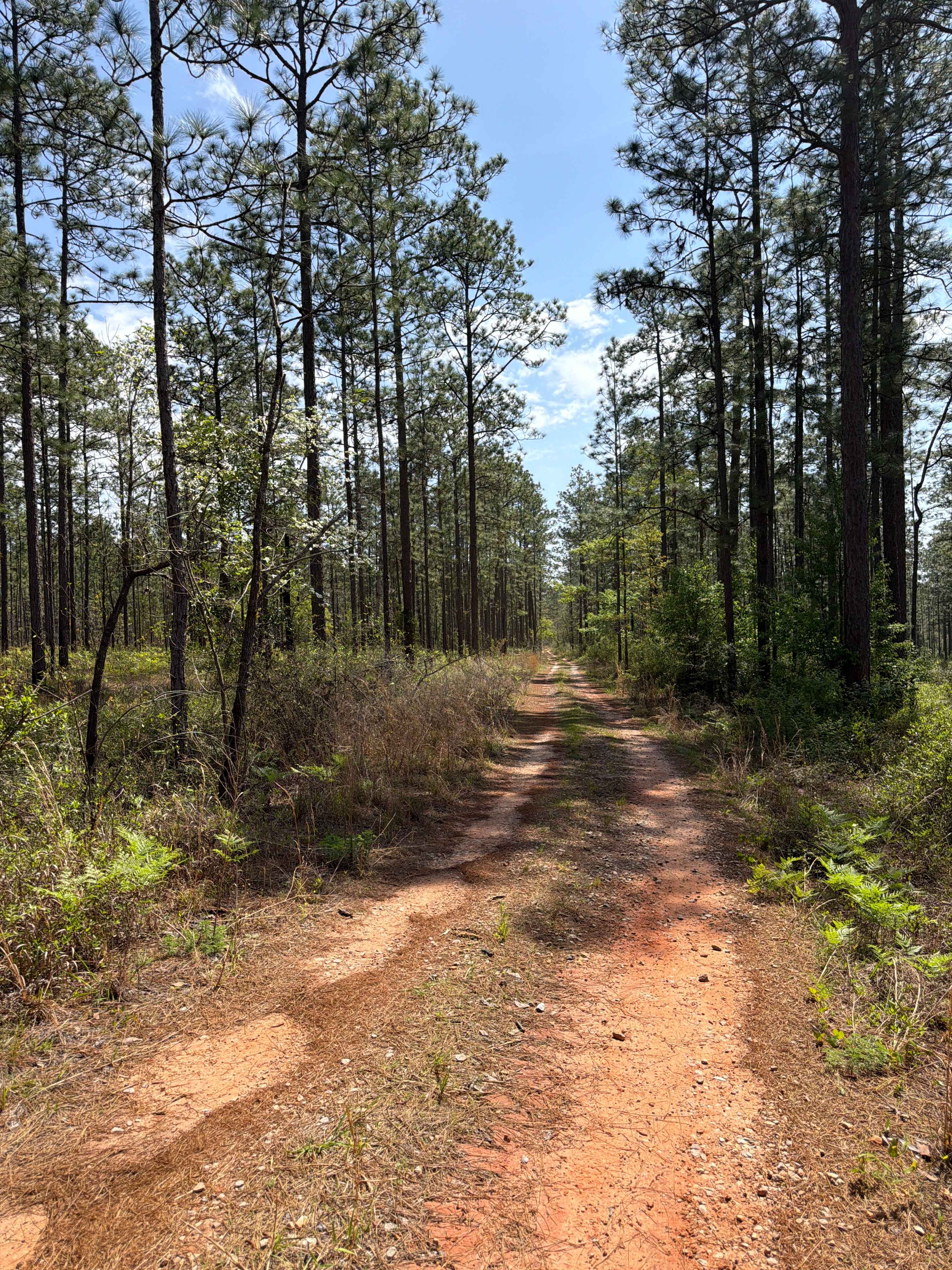
Trail Overview
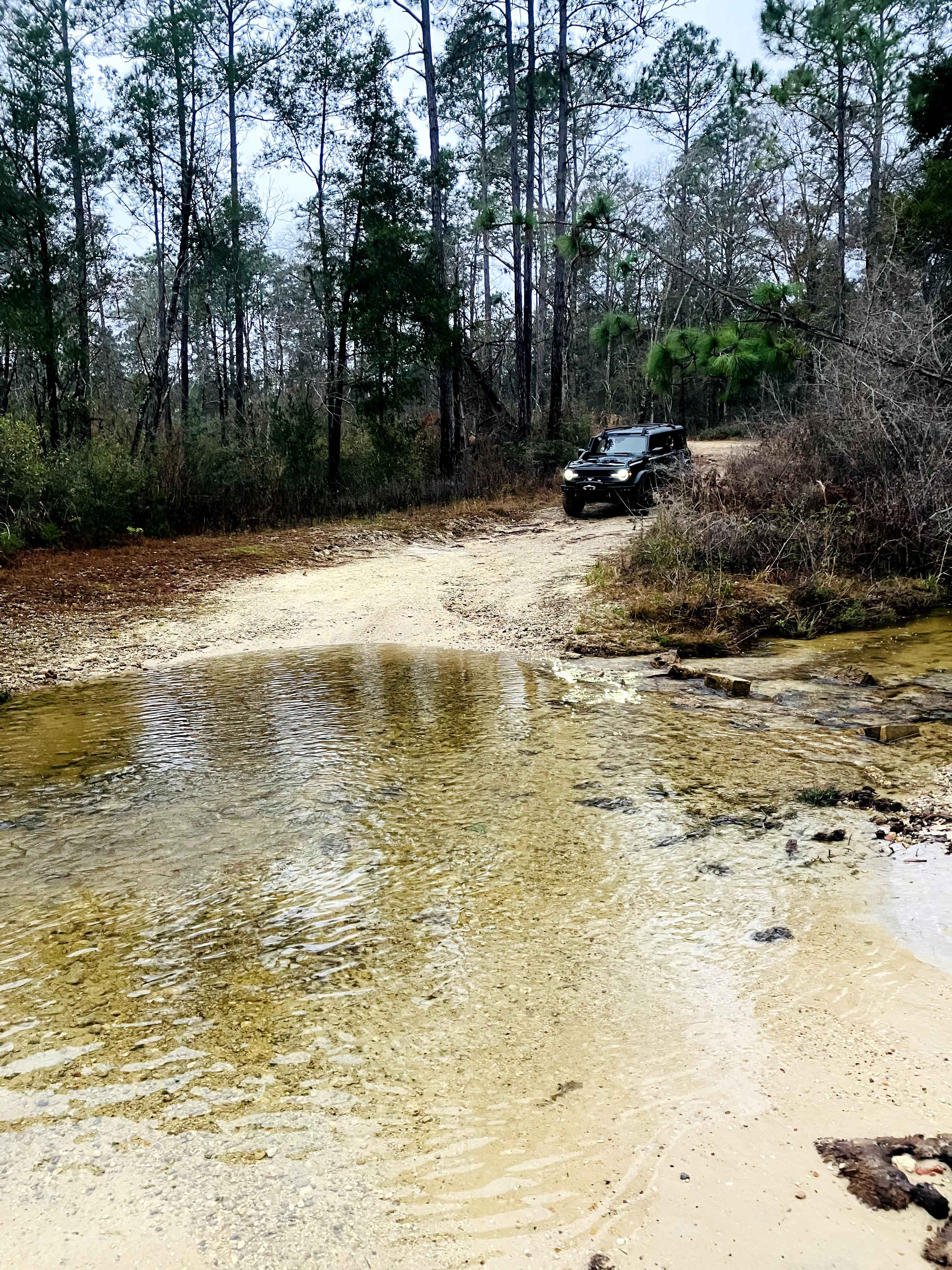
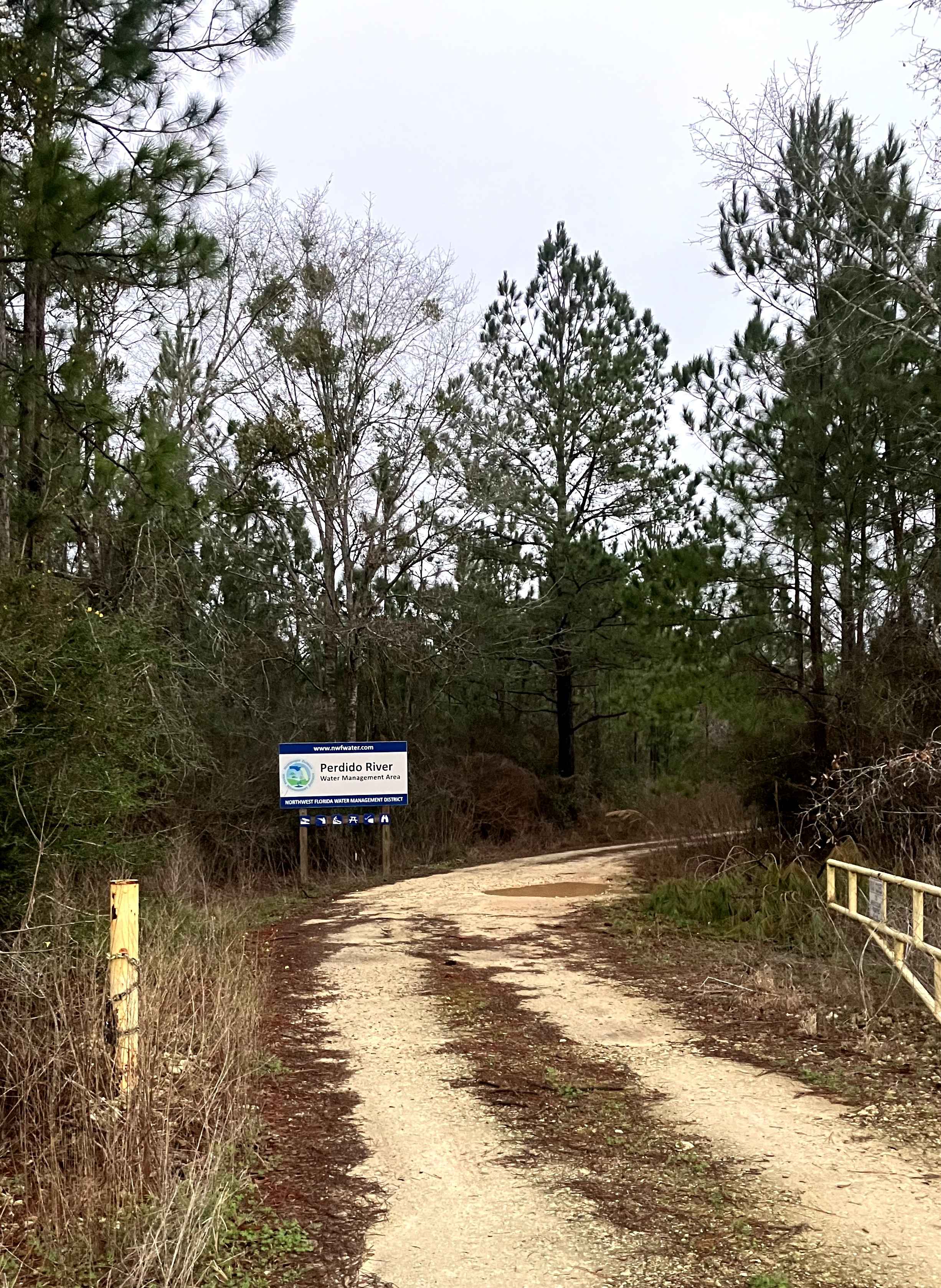
Sand Landing is a well-traveled scenic trail in the Perdido River Water Management Area, providing access to hunting, hiking, horseback riding, and a small craft boat launch bordering the east bank of the Perdido River. The trail begins as a packed gravel power line trail with some unavoidable mud holes, but soon leads back into long leaf pine forests that lead to a beautiful lake and dam crossing. There is one creek crossing at the dam, which can get challenging after heavy rainfall.
Photos of Sand Landing
Difficulty
Be cautious of the water crossing at the dam, which can be flooded after heavy rain to depths above 2 feet.
Status Reports
Sand Landing can be accessed by the following ride types:
- High-Clearance 4x4
- SUV
Sand Landing Map
Popular Trails
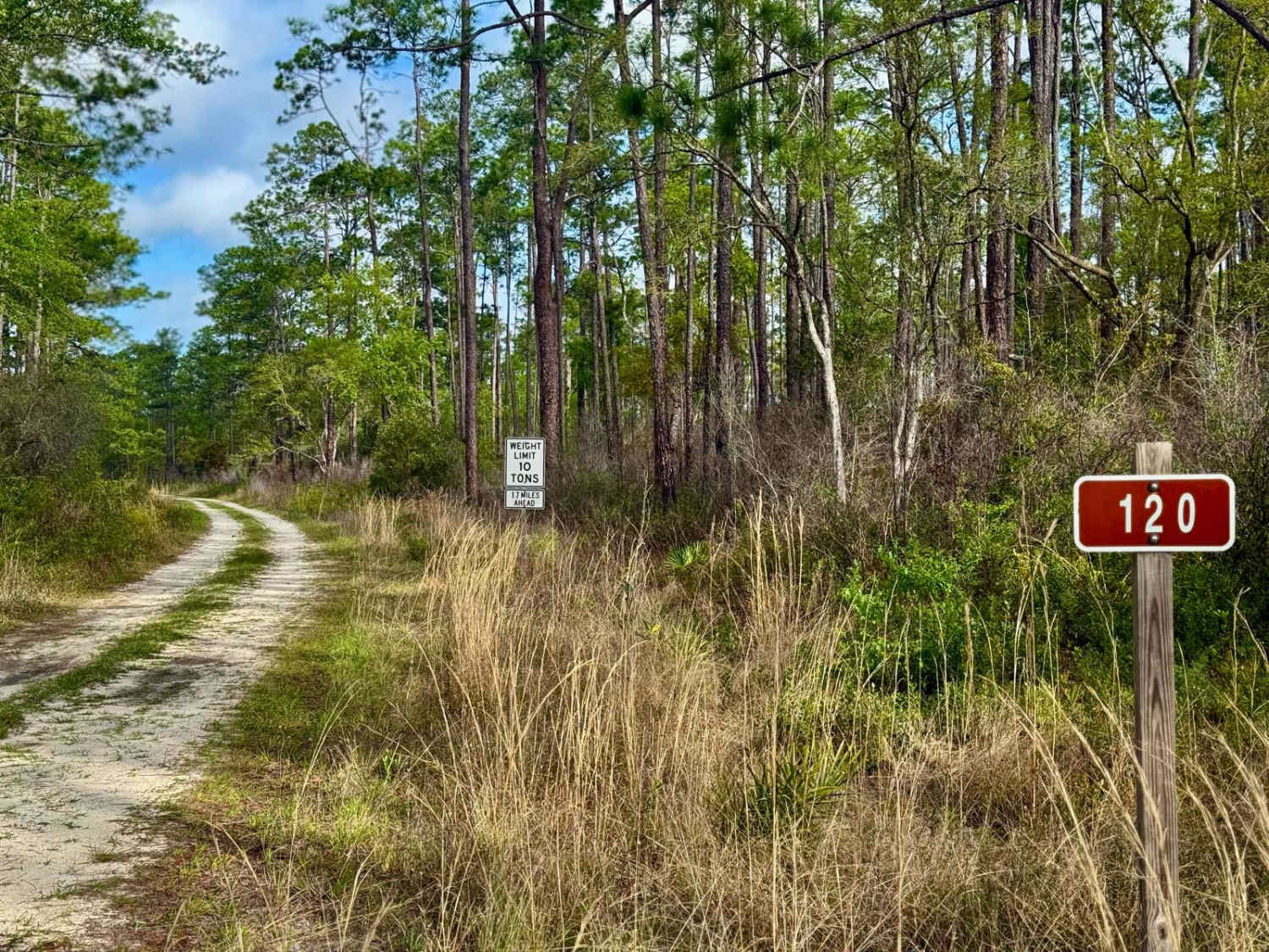
Twin Cabin - FS 120
The onX Offroad Difference
onX Offroad combines trail photos, descriptions, difficulty ratings, width restrictions, seasonality, and more in a user-friendly interface. Available on all devices, with offline access and full compatibility with CarPlay and Android Auto. Discover what you’re missing today!