Seul Choix Pointe Lighthouse Road
Total Miles
4.1
Technical Rating
Best Time
Spring, Summer, Winter, Fall
Trail Type
Full-Width Road
Accessible By
Trail Overview
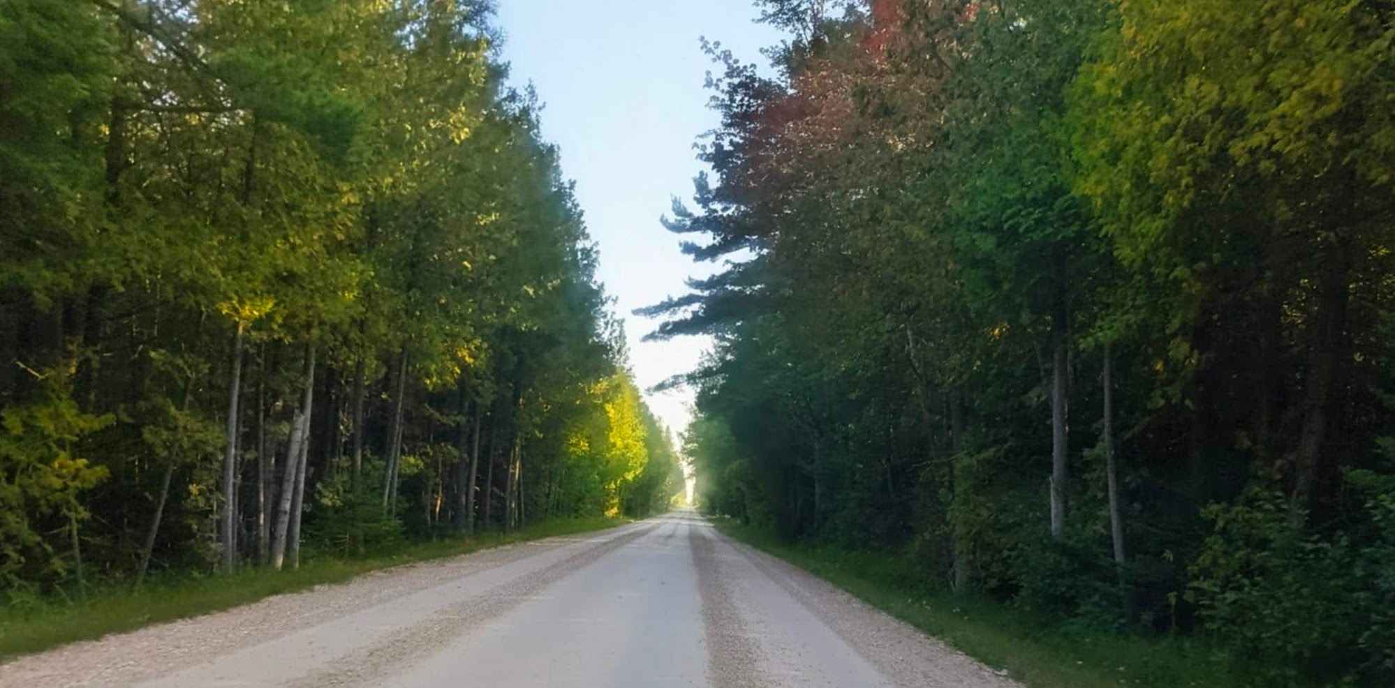
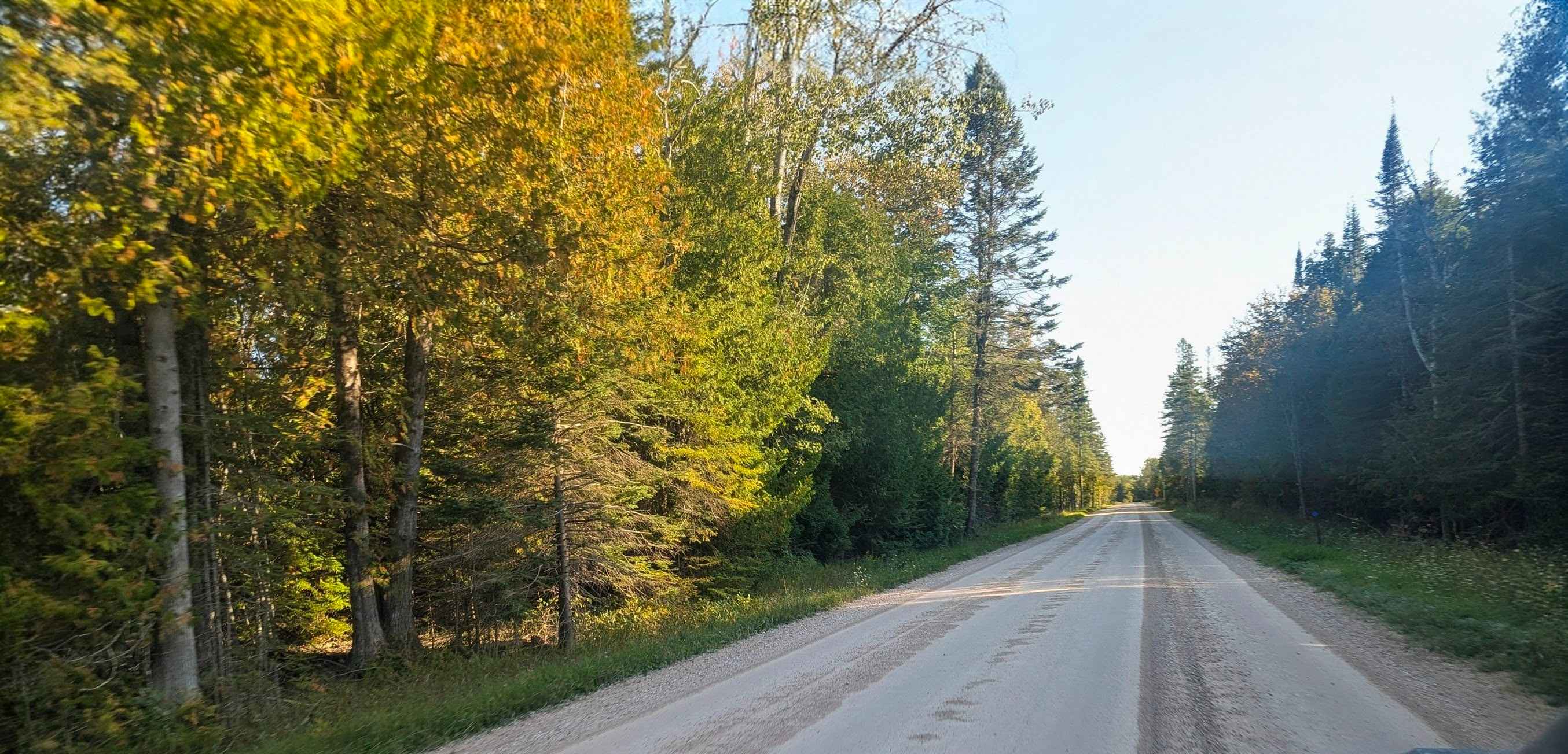
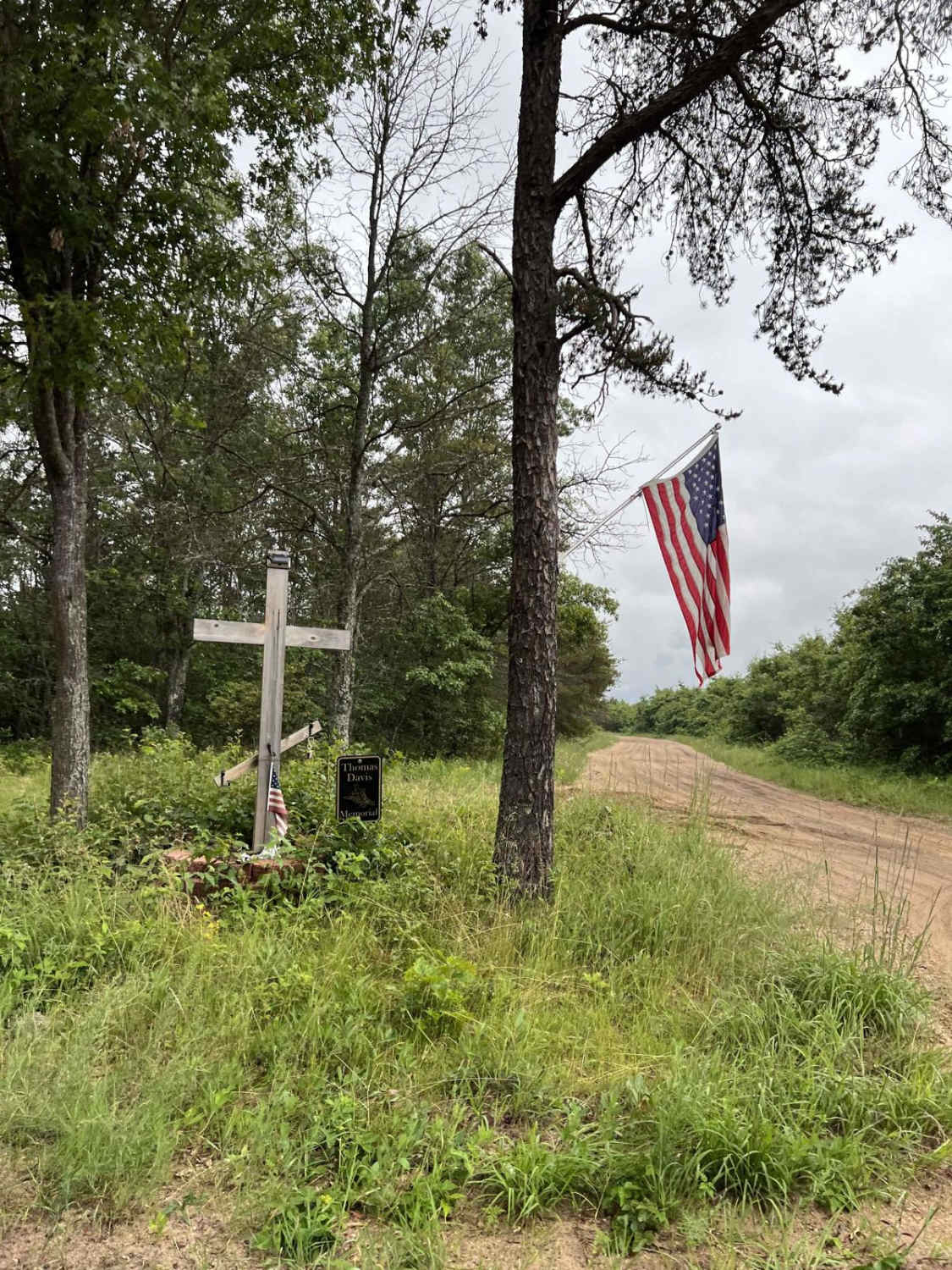
The road to the Seul Choix Pointe Lighthouse is a scenic drive through a remote part of Michigan's Upper Peninsula. The road is two lanes with a wide shoulder. When we mapped the road in September 2025, the gravel was dry and graded. The lighthouse is located in the town of Gulliver, which is about 60 miles west of the Straits of Mackinac. The lighthouse is situated at the end of a peninsula that juts out into Lake Michigan. The drive to the lighthouse is often described as a "scenic drive down the peninsula" and takes you through a quiet, forested area. The lighthouse itself is a historic site, with a museum, a gift shop, and walking paths along the shoreline. It's known for its picturesque setting and, for those who are interested, its rumored ghostly inhabitants.
Photos of Seul Choix Pointe Lighthouse Road
Difficulty
This is a two-lane road with no obstacles and is easy to navigate.
Status Reports
Seul Choix Pointe Lighthouse Road can be accessed by the following ride types:
- High-Clearance 4x4
- SUV
- SxS (60")
- ATV (50")
- Dirt Bike
Seul Choix Pointe Lighthouse Road Map
Popular Trails
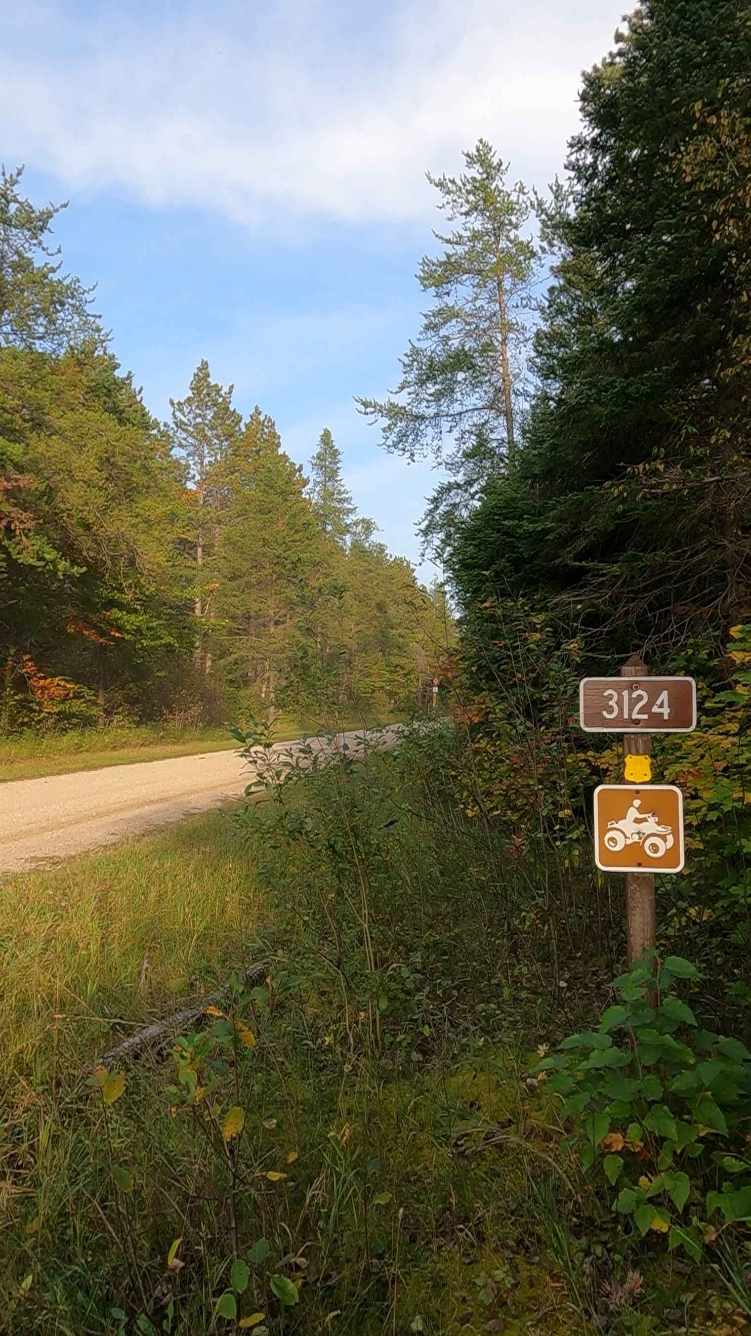
Boreland Road - FS 3124

Spring Lake Spur
The onX Offroad Difference
onX Offroad combines trail photos, descriptions, difficulty ratings, width restrictions, seasonality, and more in a user-friendly interface. Available on all devices, with offline access and full compatibility with CarPlay and Android Auto. Discover what you’re missing today!