Big Quil Dam Road
Total Miles
7.5
Technical Rating
Best Time
Spring, Summer, Fall, Winter
Trail Type
Full-Width Road
Accessible By
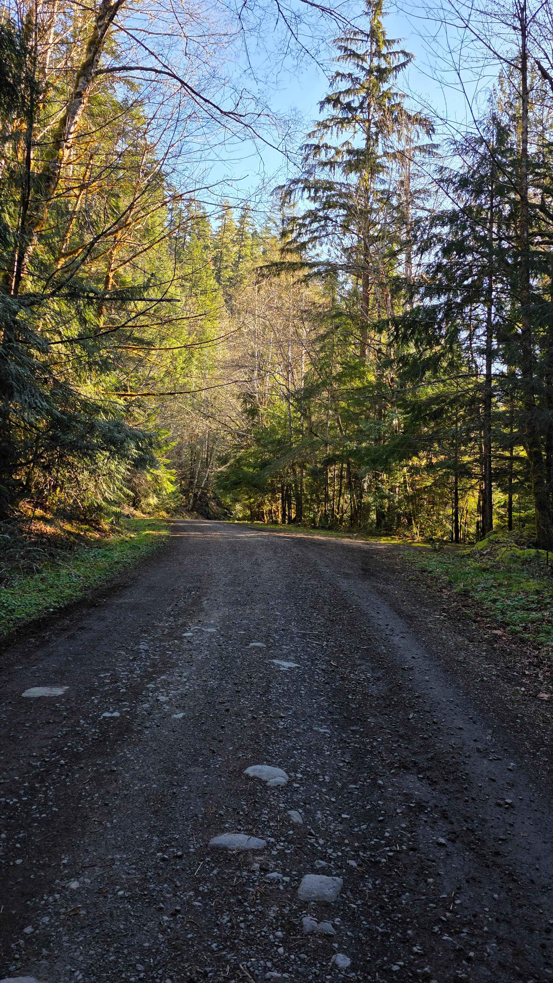
Trail Overview
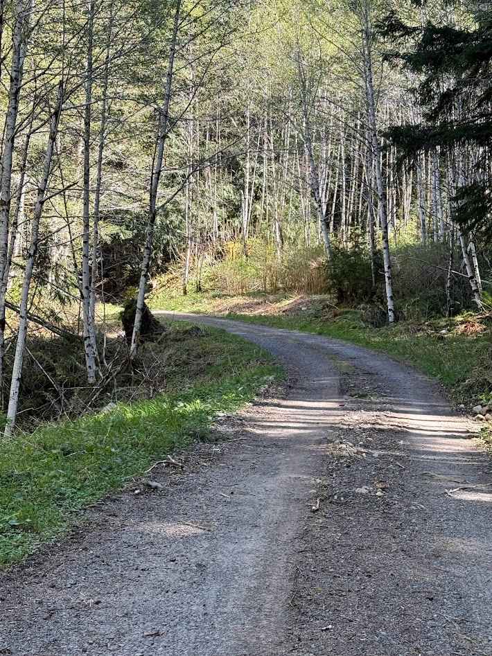
This wide, well-maintained gravel road winds downhill through dense evergreen forest, offering frequent open views of the Quilcene River below. It is suitable for all vehicles, with occasional loose gravel and gentle switchbacks, and ends at a spacious turnaround just before a private dam; please respect private property and do not cross. At the bottom, there is excellent river access with a deep, clear swim hole ideal for warm days, along with several dispersed campsites, and visitors are encouraged to pack out all trash and use caution as river levels can vary seasonally.
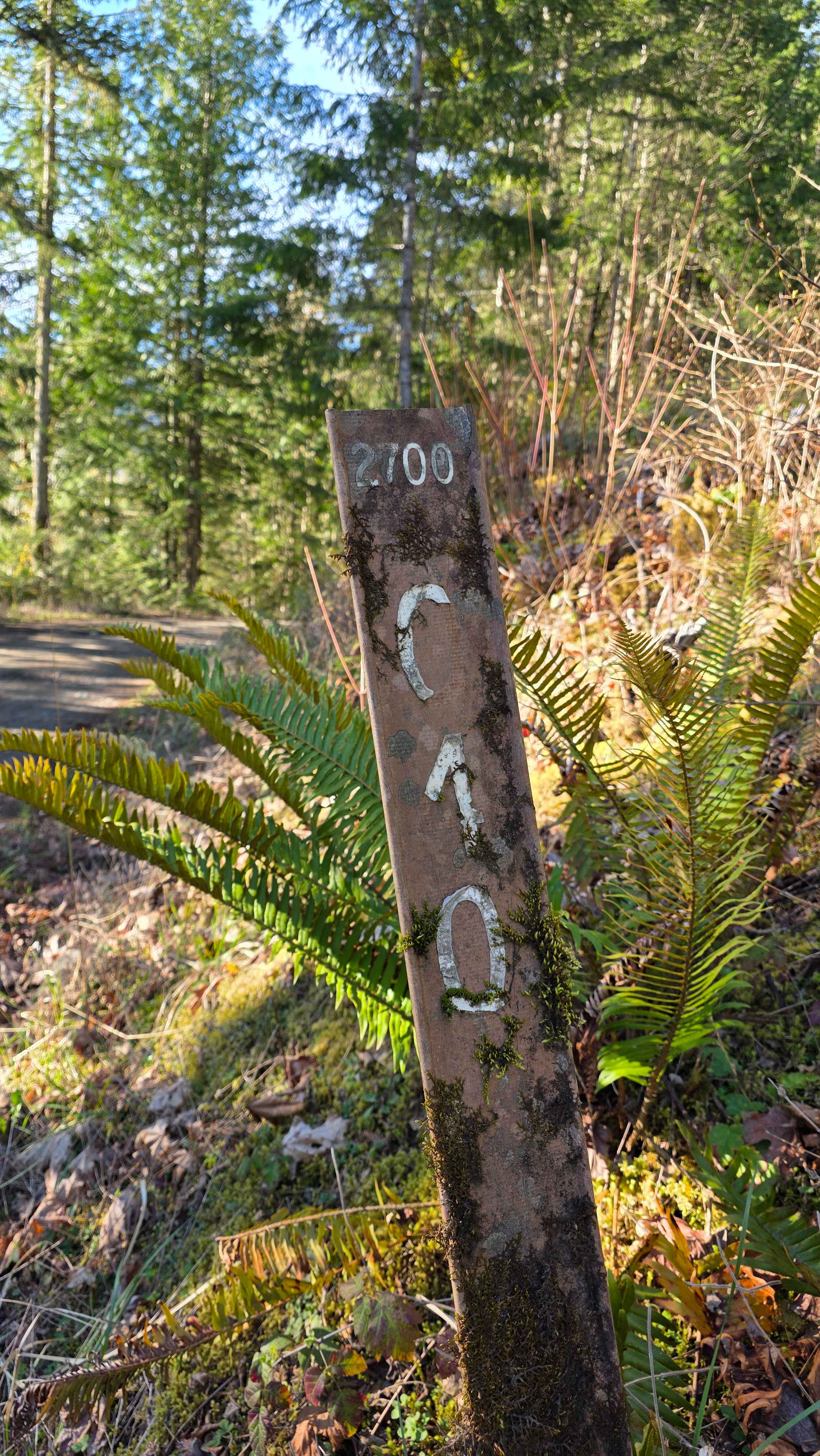
Photos of Big Quil Dam Road
Difficulty
This trail is a wide, well-maintained gravel road with gentle grades throughout. Its smooth surface and ample width make it easily passable for most vehicles under typical conditions.
Status Reports
Big Quil Dam Road can be accessed by the following ride types:
- High-Clearance 4x4
- SUV
Big Quil Dam Road Map
Popular Trails

West Twin Road - FS 3000
The onX Offroad Difference
onX Offroad combines trail photos, descriptions, difficulty ratings, width restrictions, seasonality, and more in a user-friendly interface. Available on all devices, with offline access and full compatibility with CarPlay and Android Auto. Discover what you’re missing today!