Horse Canyon BLM SC65 South
Total Miles
4.5
Technical Rating
Best Time
Fall, Summer, Spring
Trail Type
Full-Width Road
Accessible By
Trail Overview
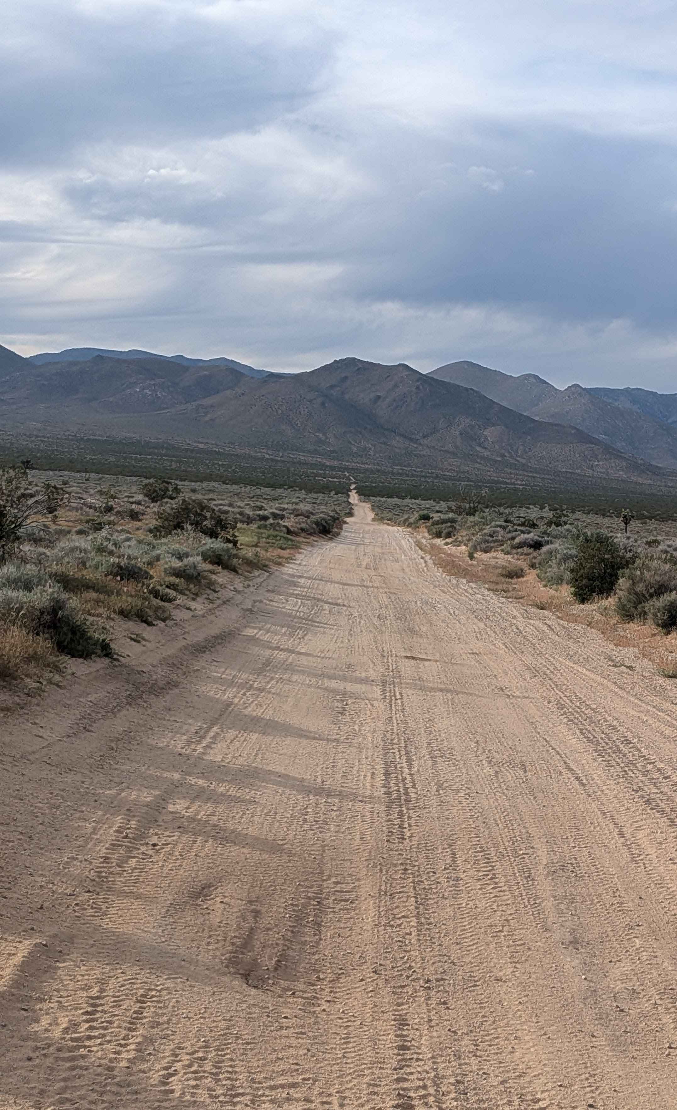
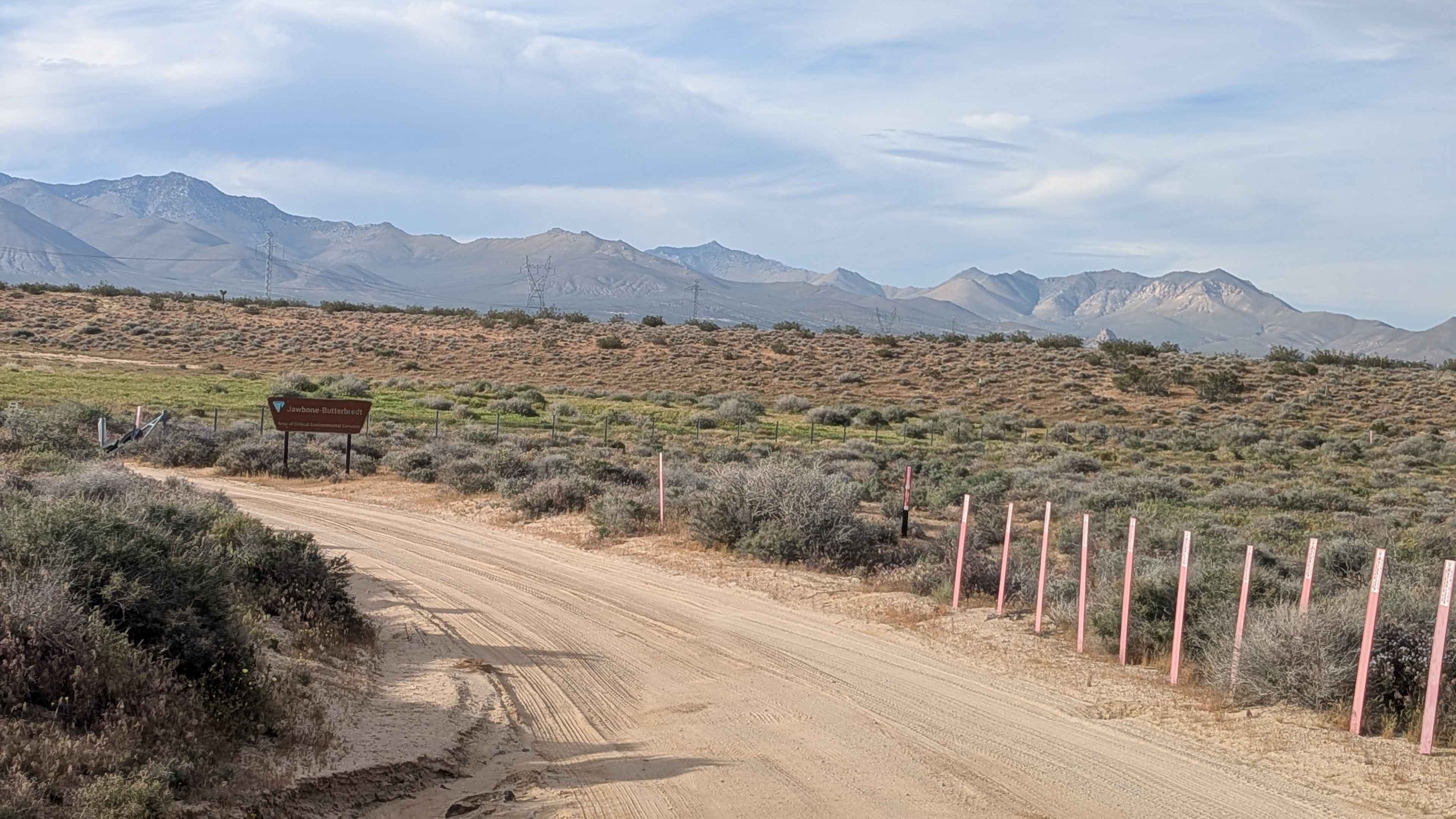
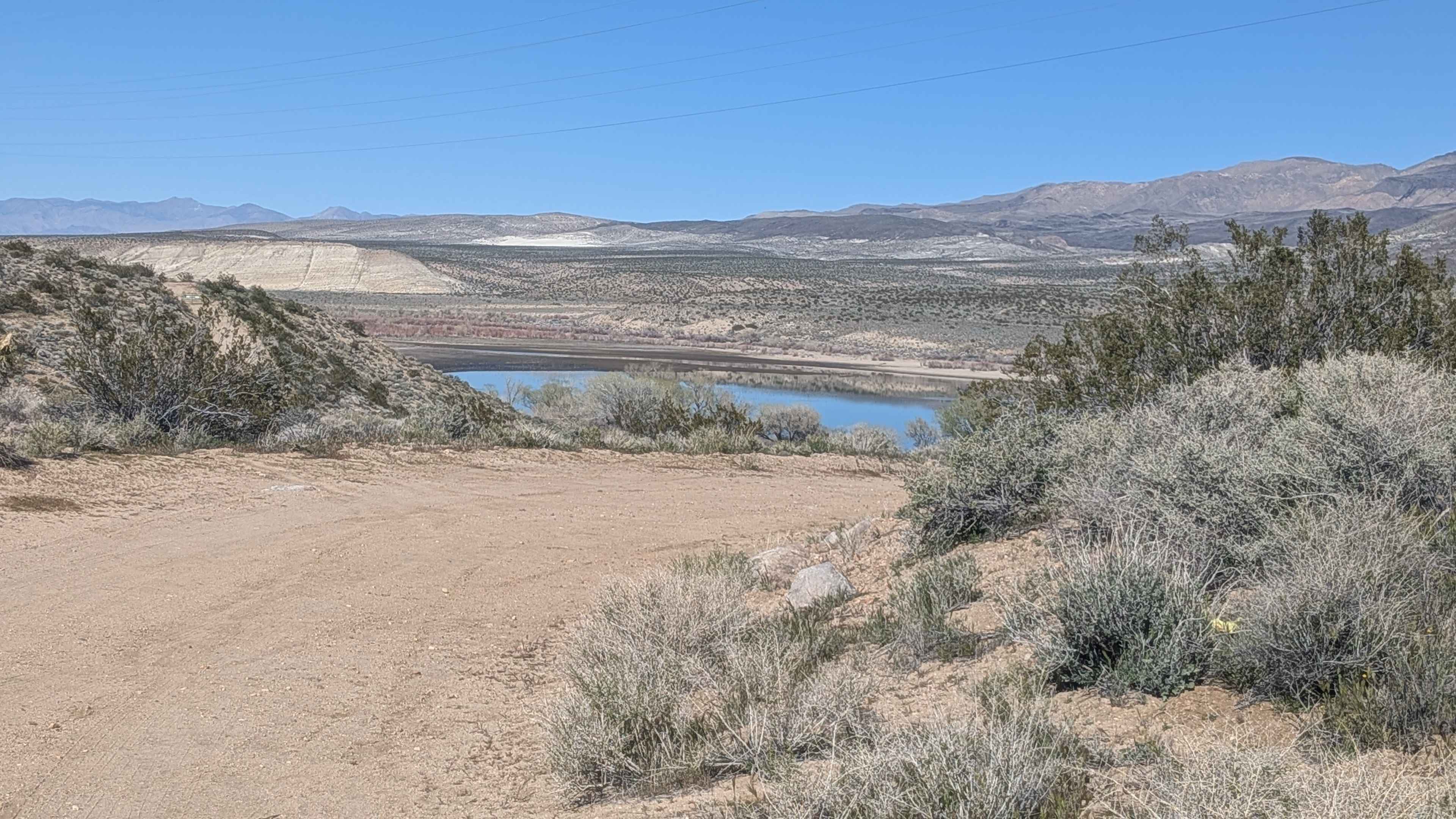
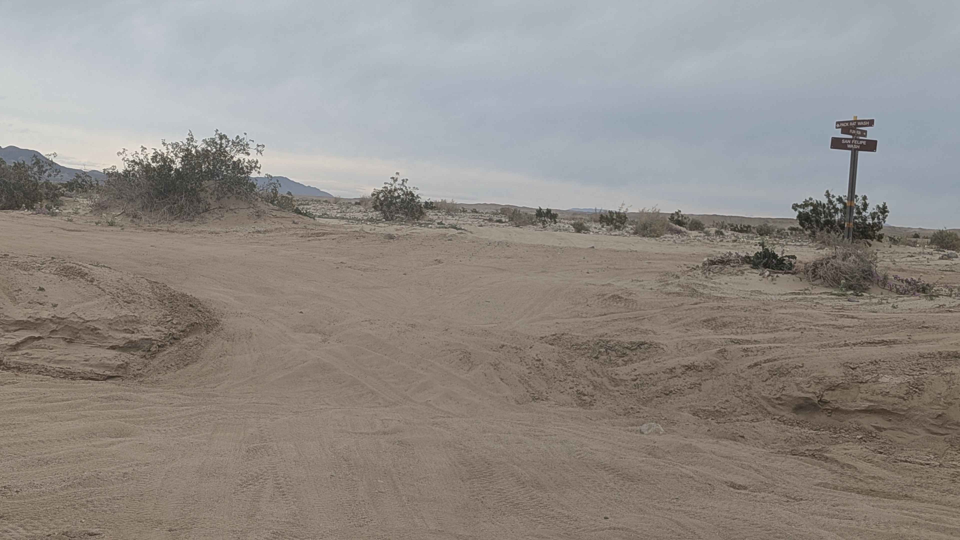
Starting at Highway 14 heading north, this two-lane wide loose sand route travels through the Jawbone-Butterbredt BLM limited use area, requiring staying on designated trails. Great views showcase the Southern Eastern Sierras, including Robbers Roost, Sage Canyon, Horse Canyon, and other landmarks, creating impressive scenery. Washboards appear throughout, while ruts, off-camber sections, and uneven terrain create varied obstacles. Dispersed camping spots dot the route along the way for staging opportunities.
Photos of Horse Canyon BLM SC65 South
Difficulty
The loose sand at two vehicles wide requires momentum management and airing down for traction. Those ruts, off-camber sections, and uneven terrain, combined with washboards, create accumulated challenges over distance. The two vehicle width helps navigation and passing, but doesn't eliminate the technical obstacles. Respect the limited use designation, staying on designated trails only. Four wheel drive and decent clearance handle the varied conditions. The dispersed camping access makes this popular despite the challenges.
Status Reports
Horse Canyon BLM SC65 South can be accessed by the following ride types:
- High-Clearance 4x4
- SUV
- SxS (60")
- ATV (50")
- Dirt Bike
Horse Canyon BLM SC65 South Map
Popular Trails
Middle Sky Ranch Road - FS 6S010

Buena Vista Canyon
The onX Offroad Difference
onX Offroad combines trail photos, descriptions, difficulty ratings, width restrictions, seasonality, and more in a user-friendly interface. Available on all devices, with offline access and full compatibility with CarPlay and Android Auto. Discover what you’re missing today!