Wainscott Bottoms
Total Miles
6.1
Technical Rating
Best Time
Summer, Fall
Trail Type
High-Clearance 4x4 Trail
Accessible By
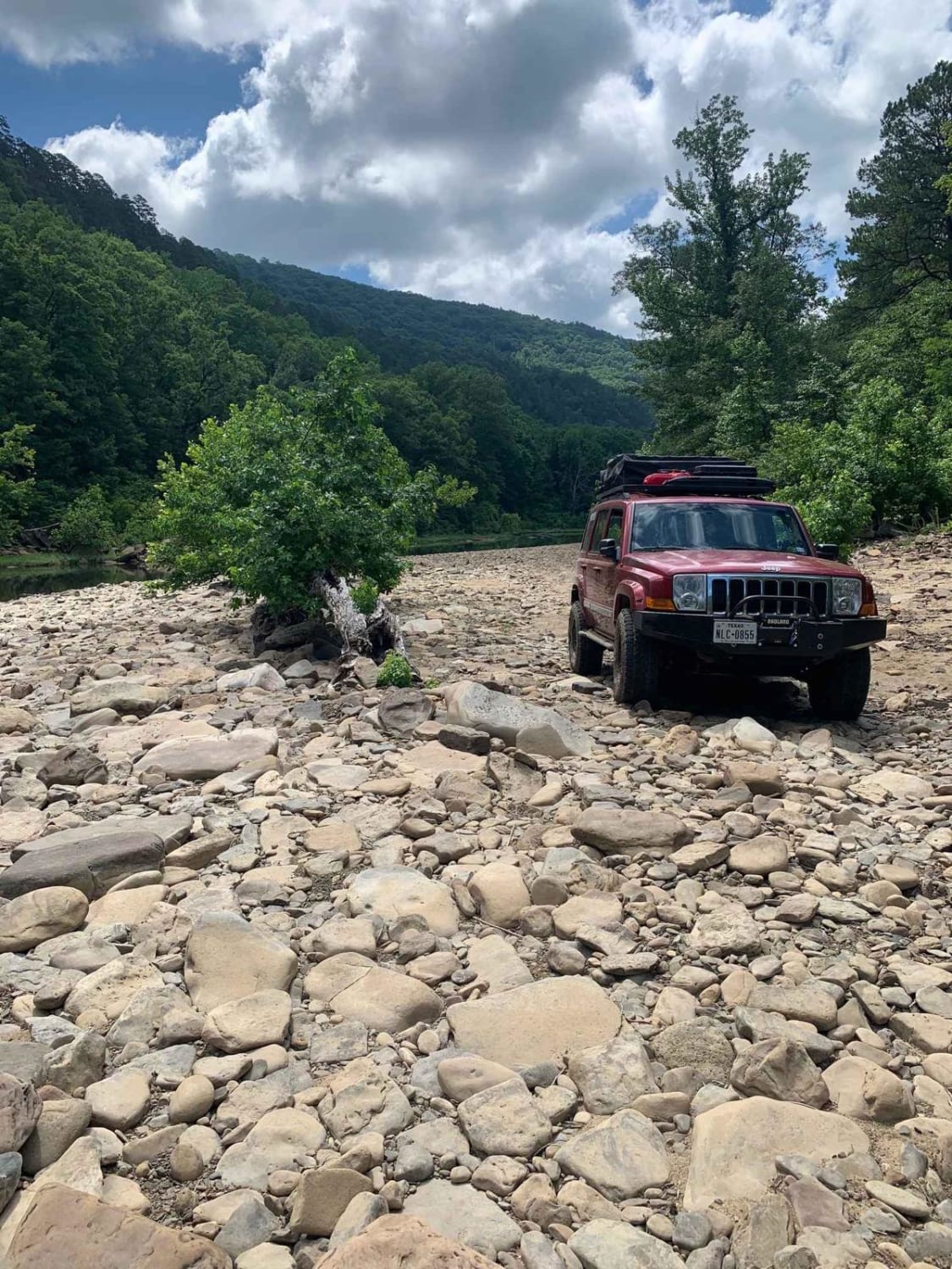
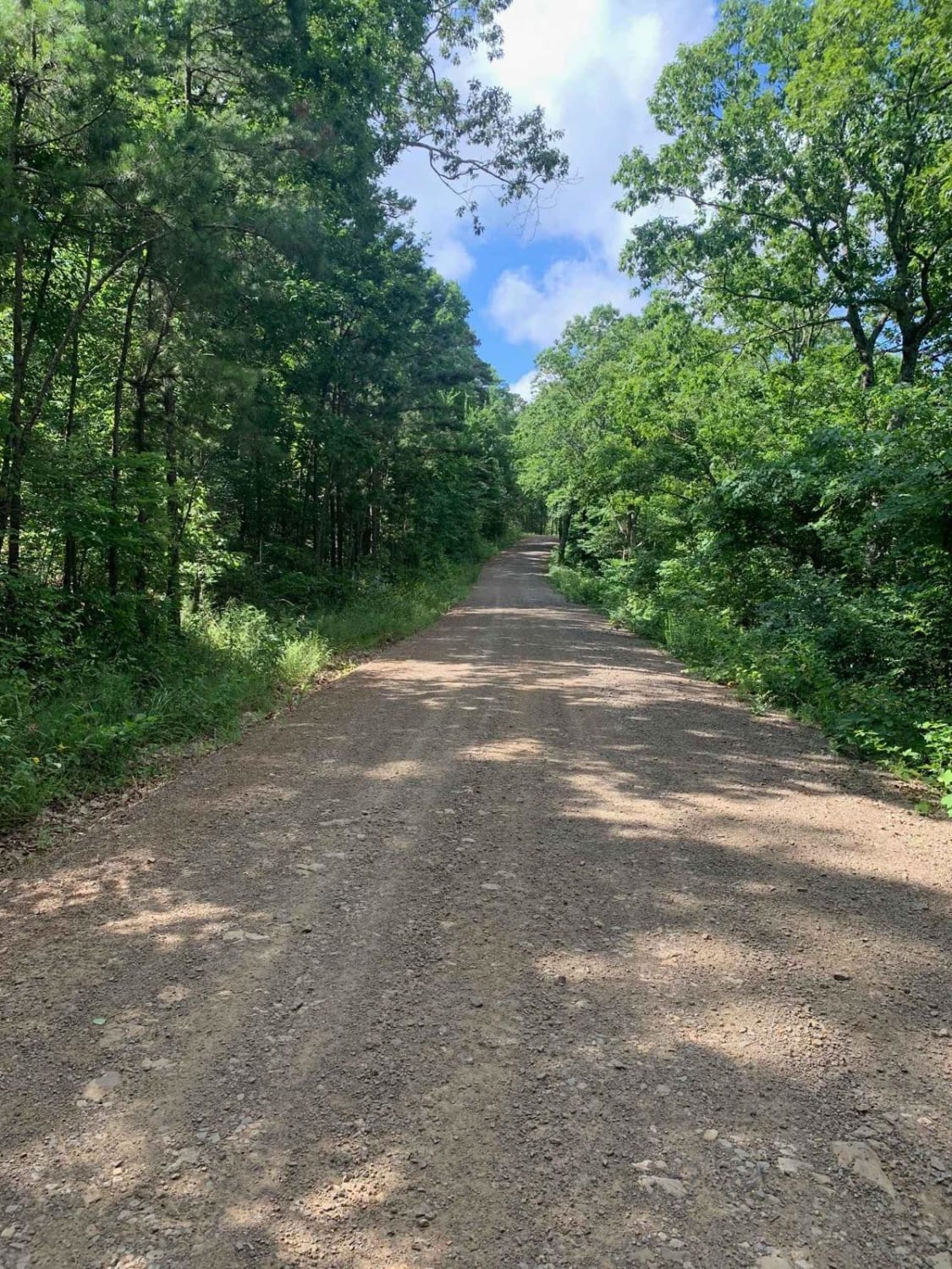
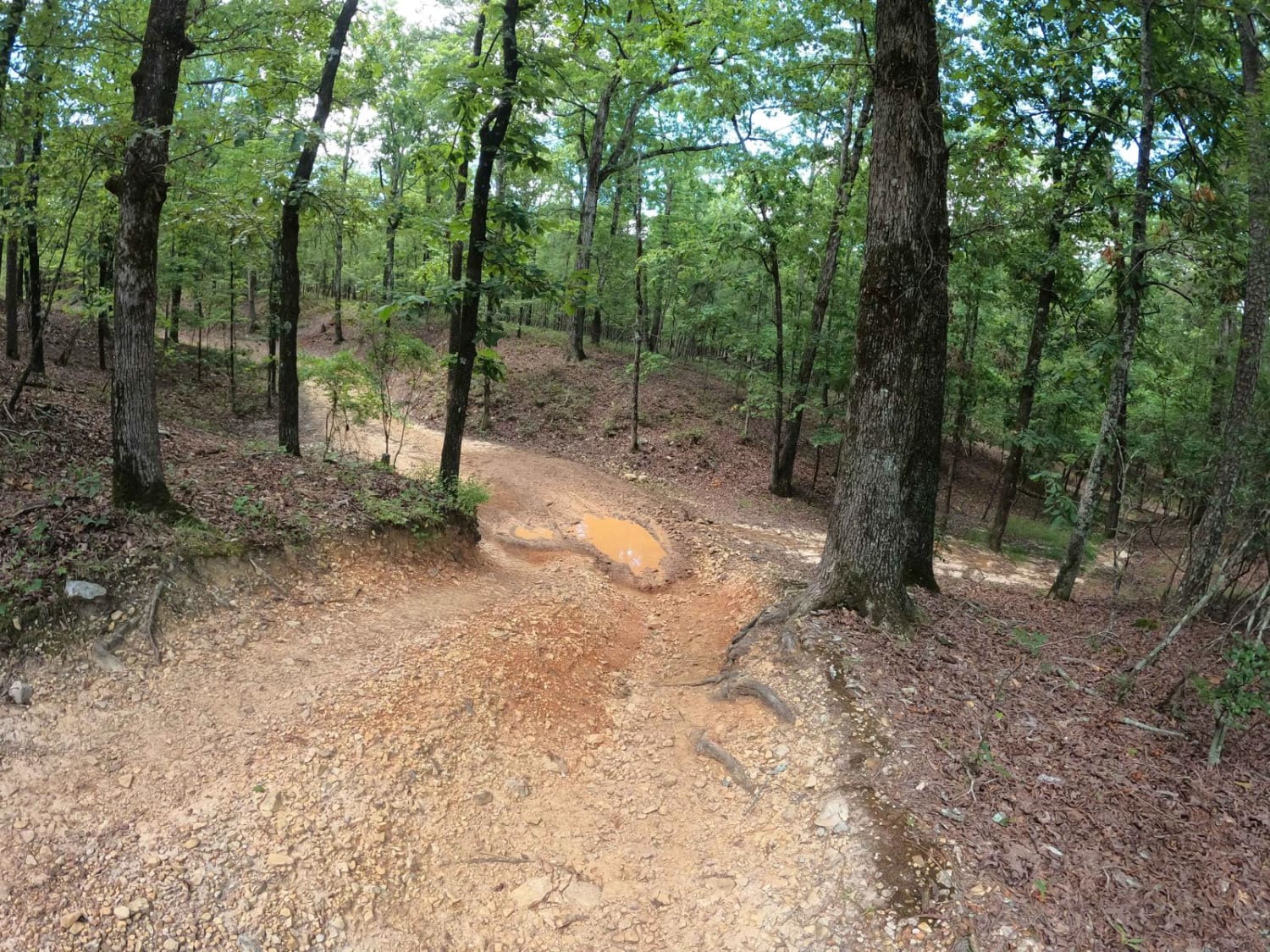
Trail Overview
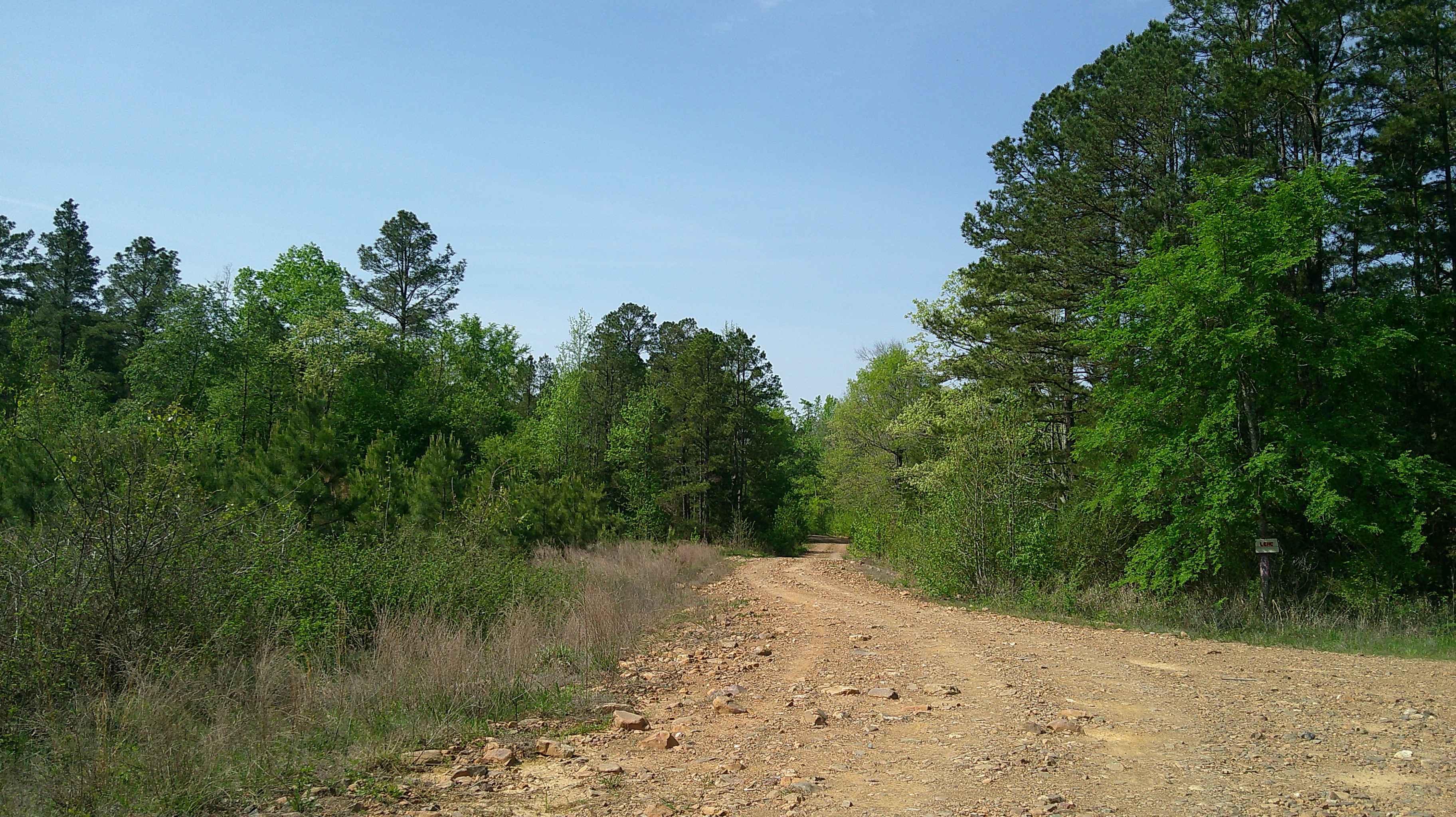
This route takes you into the Wainscott bottoms of Big Piney Creek. The trail starts as a smooth gravel road then transitions into a two-track Forest Service road, then into a narrow loose rock shelf descent into the creek valley. The trail gets very narrow towards the end, so heavy pinstriping is a guarantee. The trail dumps out into the Big Piney Creek.
Photos of Wainscott Bottoms
Difficulty
The trail is steep and very narrow towards the bottom of the valley. A couple mud holes can be deep after recent rain.
Status Reports
Wainscott Bottoms can be accessed by the following ride types:
- High-Clearance 4x4
- SxS (60")
- ATV (50")
- Dirt Bike
Wainscott Bottoms Map
Popular Trails
A24 Brandon's Run

Long Caney bypass
The onX Offroad Difference
onX Offroad combines trail photos, descriptions, difficulty ratings, width restrictions, seasonality, and more in a user-friendly interface. Available on all devices, with offline access and full compatibility with CarPlay and Android Auto. Discover what you’re missing today!