Topknot Main
Total Kilometers
13.0
Technical Rating
Best Time
Spring, Fall, Summer
Trail Type
Full-Width Road
Accessible By
Trail Overview
Topknot Main is a crushed rock gravel road just wide enough for two vehicles to pass. Caution is essential due to its active use by logging trucks and other vehicles. For the first 10 kilometers (6 miles), the road is relatively smooth and open, lined with tall trees, heavy vegetation, and colorful wildflowers, especially in spring and early summer. There is an ongoing effort to clear vegetation alongside the trail, which not only improves visibility but also opens up scenic views of the towering forest canopy. At the Y-split, the trail becomes a single-vehicle-width spur trail that continues for about 4 more kilometers (2.5 miles). This section is narrower, with more potholes, and continues to offer wildflower displays and a more secluded feel. Watch for bears, deer, and other wildlife, and drive slowly to avoid collisions. The trail ends at a large parking area used by visitors heading to the Macjack River and Raft Cove Park.
Photos of Topknot Main


Difficulty
The first 10 kilometers (6 miles) are suitable for most stock 4WD or AWD vehicles, though dust and visibility issues require extra caution. The final 4 kilometer (2.5 mile) spur section becomes narrower and rougher, with more potholes and reduced passing opportunities, warranting a slightly higher difficulty rating.
Status Reports
Topknot Main can be accessed by the following ride types:
- High-Clearance 4x4
- SUV
- SxS (60")
Topknot Main Map
Popular Trails
King Edward Parallel
John Park FSR
Jigsaw Lake Recreational Site
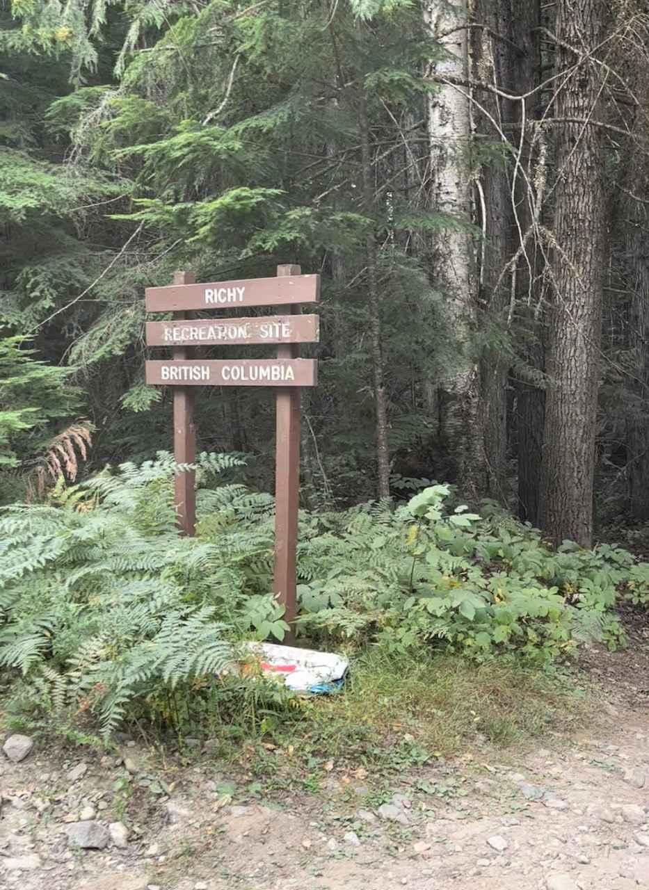
Whatshan FSR to Ritchy Rec Site
The onX Offroad Difference
onX Offroad combines trail photos, descriptions, difficulty ratings, width restrictions, seasonality, and more in a user-friendly interface. Available on all devices, with offline access and full compatibility with CarPlay and Android Auto. Discover what you’re missing today!