Taurus (Bull) FSR
Total Kilometers
6.8
Technical Rating
Best Time
Summer, Fall
Trail Type
Full-Width Road
Accessible By
Trail Overview
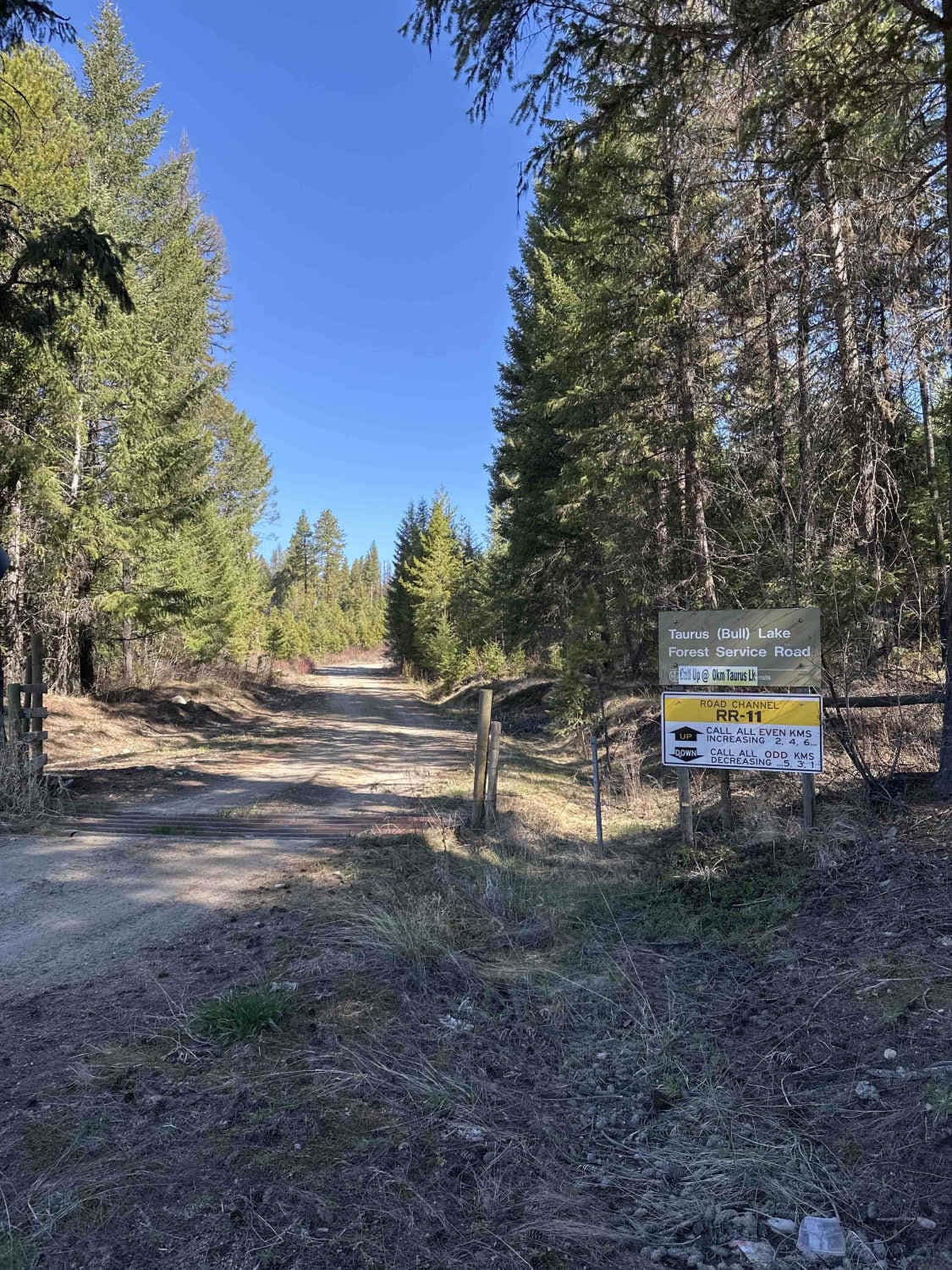
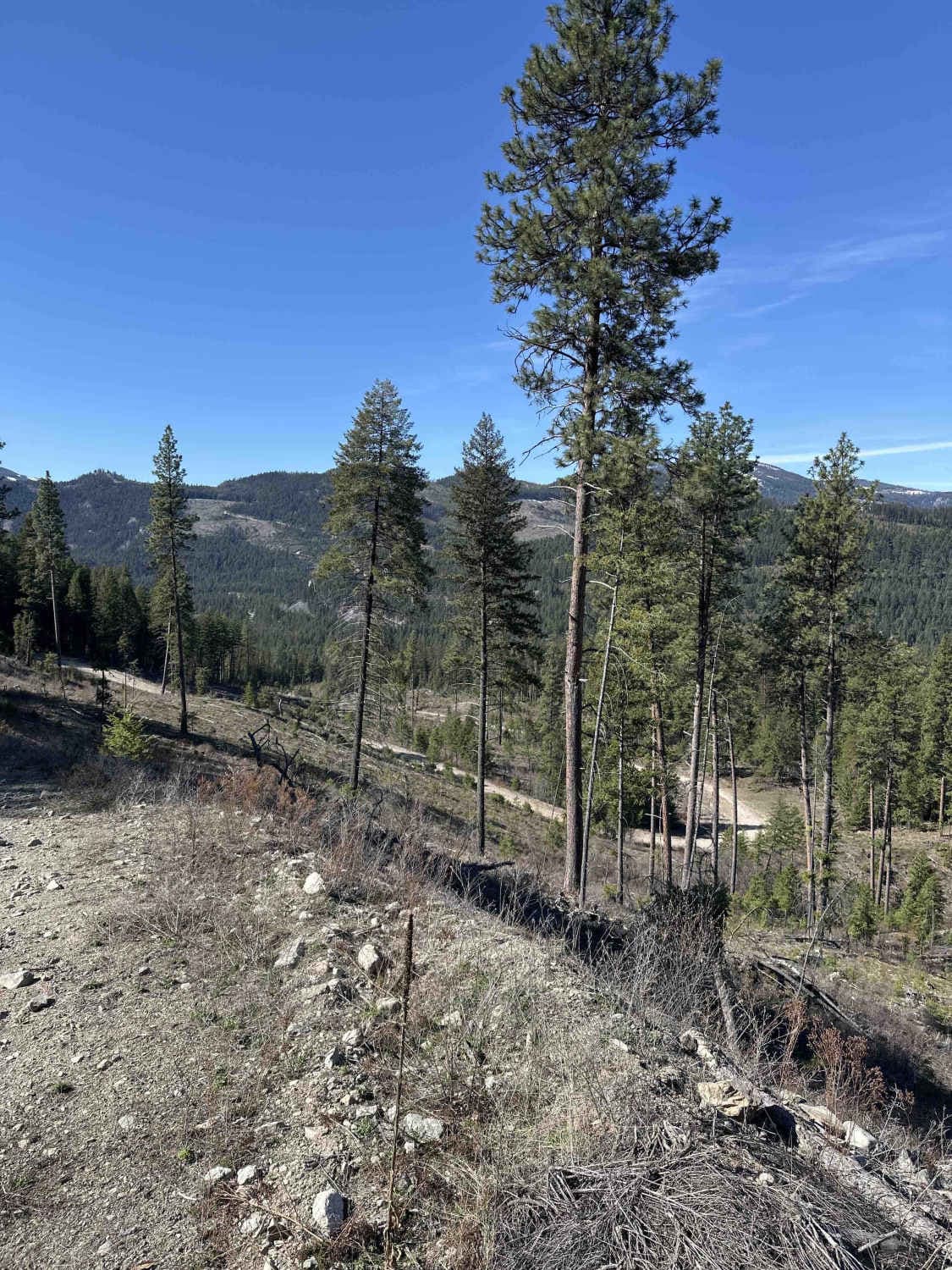
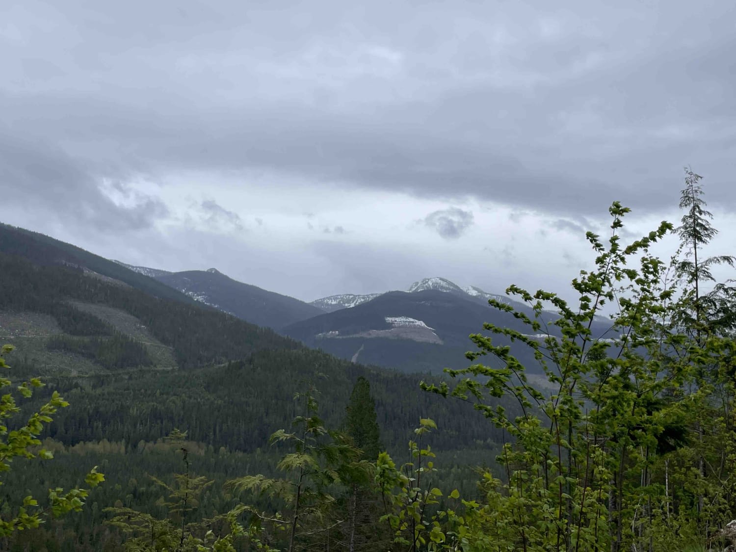
Taurus (Bull) FSR is gravel surfaced, with the level of maintenance being directly related to the amount of Forestry activity in the area. It is generally an easy drive up the initial switchbacks from highway 33 to higher elevation straight stretches leading to Taurus Lake. If driving this route in the spring, expect to encounter sections of compact snow and downed trees, potentially impacting access. The Rural Road (RR) channel is RR-11 and is signed at the start with calling requirements. At the lake, there is a Recreation Site with several established camp spots.
Photos of Taurus (Bull) FSR
Difficulty
There are some steeper switchbacks, but this is mostly an easy forestry road.
Status Reports
Taurus (Bull) FSR can be accessed by the following ride types:
- High-Clearance 4x4
- SUV
- SxS (60")
- ATV (50")
- Dirt Bike
Taurus (Bull) FSR Map
Popular Trails
3 Valley Mabel Lake FSR Road to Kingfisher

The Undertaker
Over the Rocks

Granite Dunes
The onX Offroad Difference
onX Offroad combines trail photos, descriptions, difficulty ratings, width restrictions, seasonality, and more in a user-friendly interface. Available on all devices, with offline access and full compatibility with CarPlay and Android Auto. Discover what you’re missing today!