Strauss North
Total Kilometers
5.5
Technical Rating
Best Time
Summer
Trail Type
Full-Width Road
Accessible By
Trail Overview
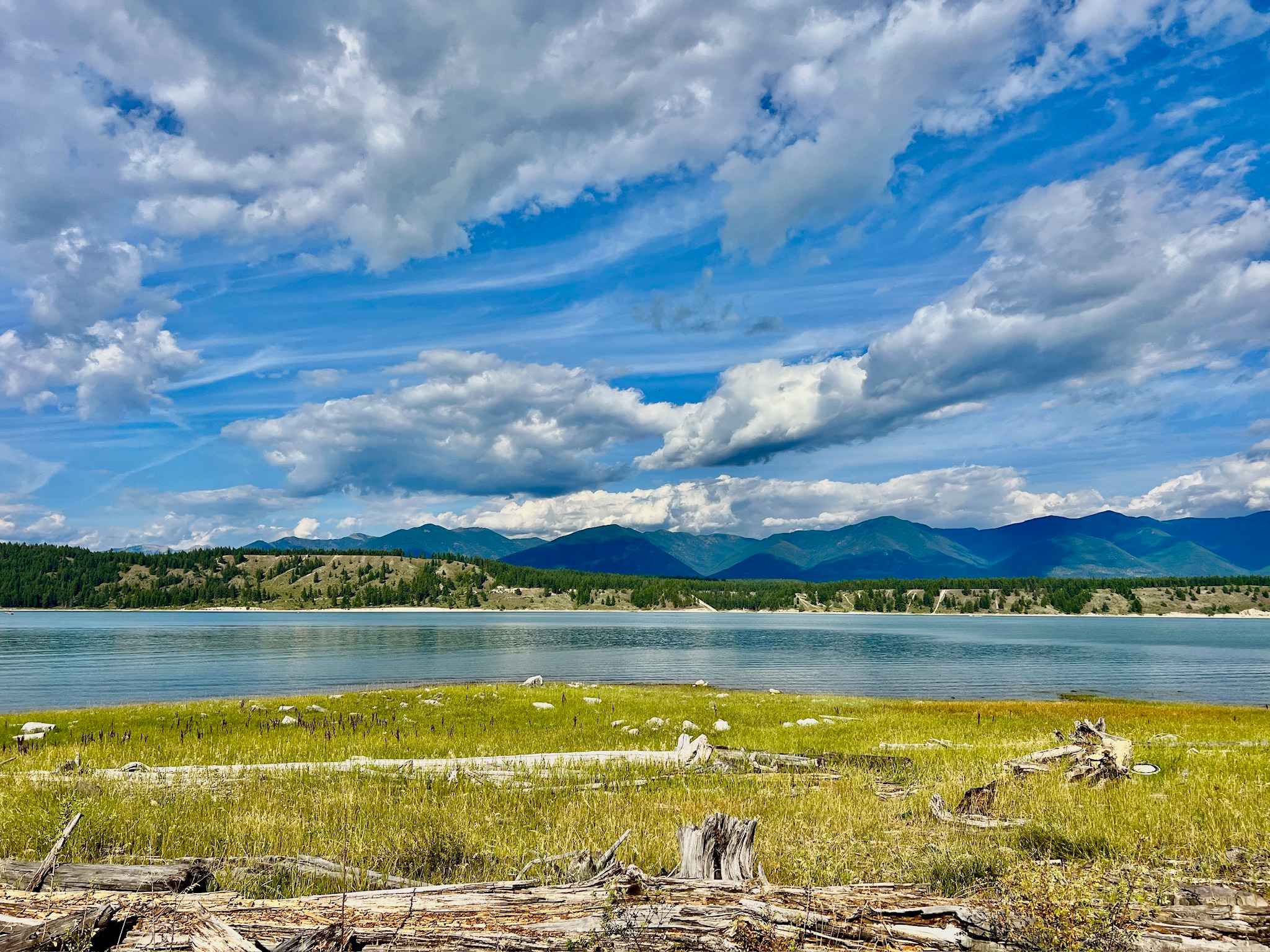
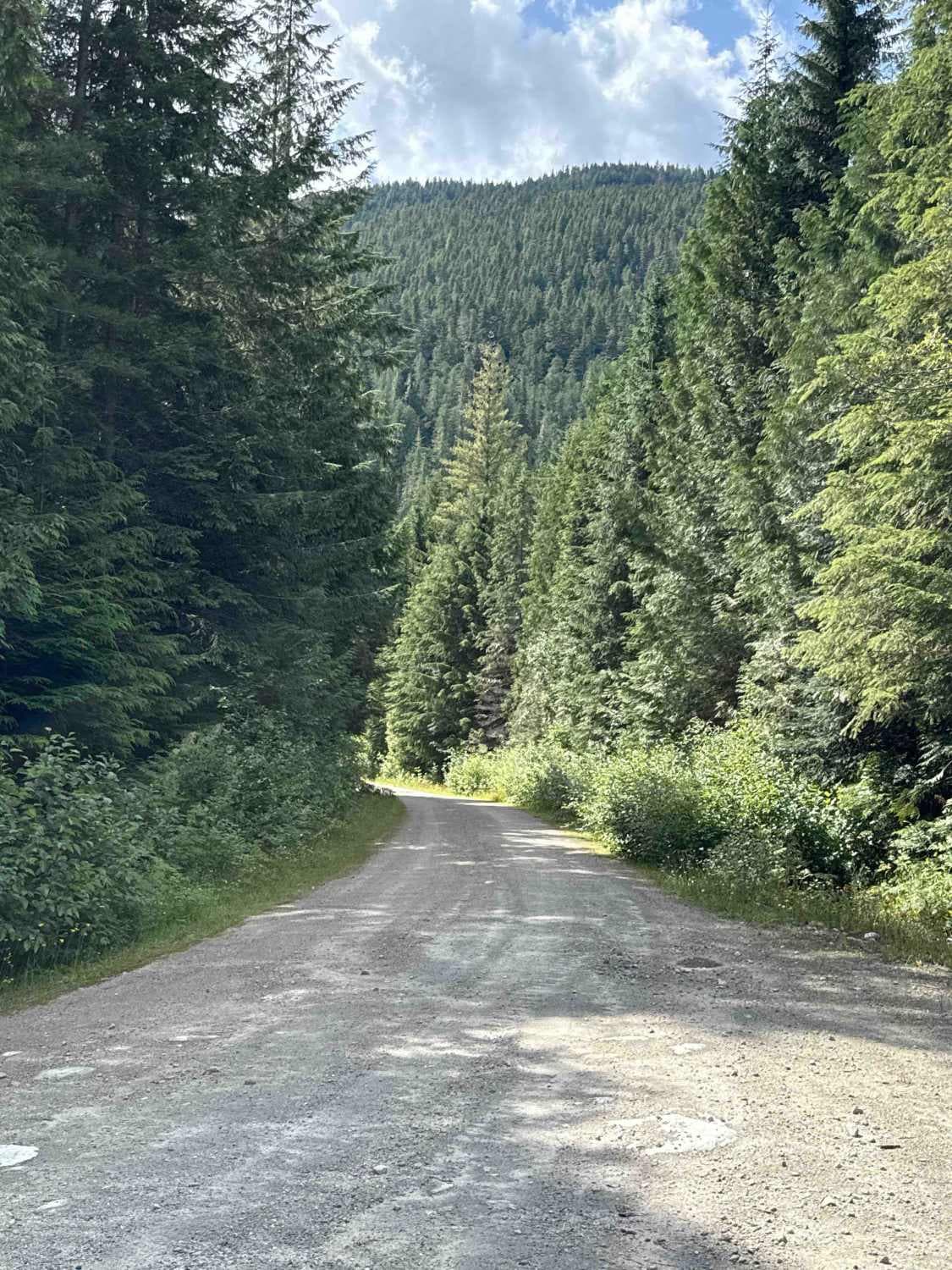
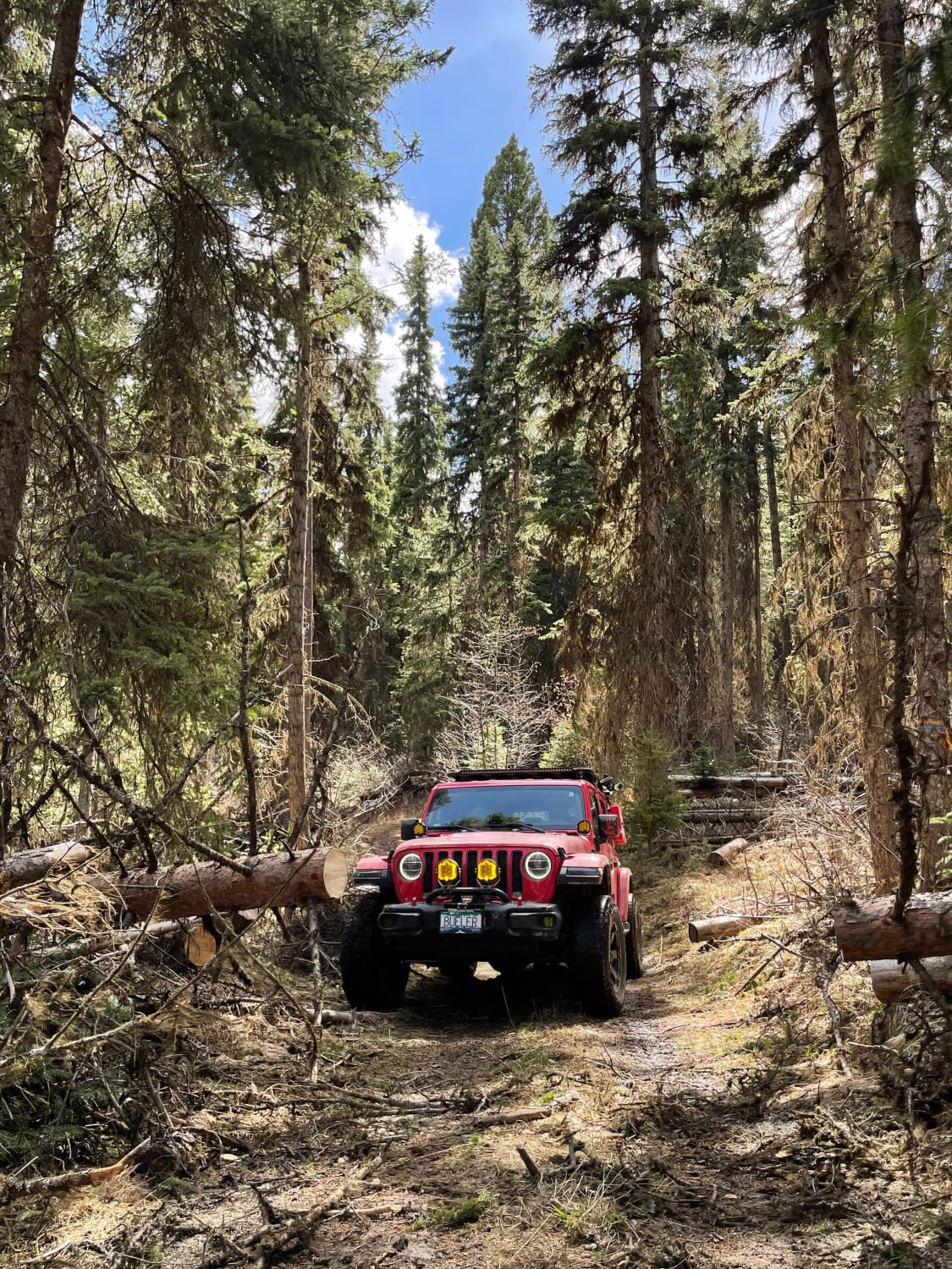
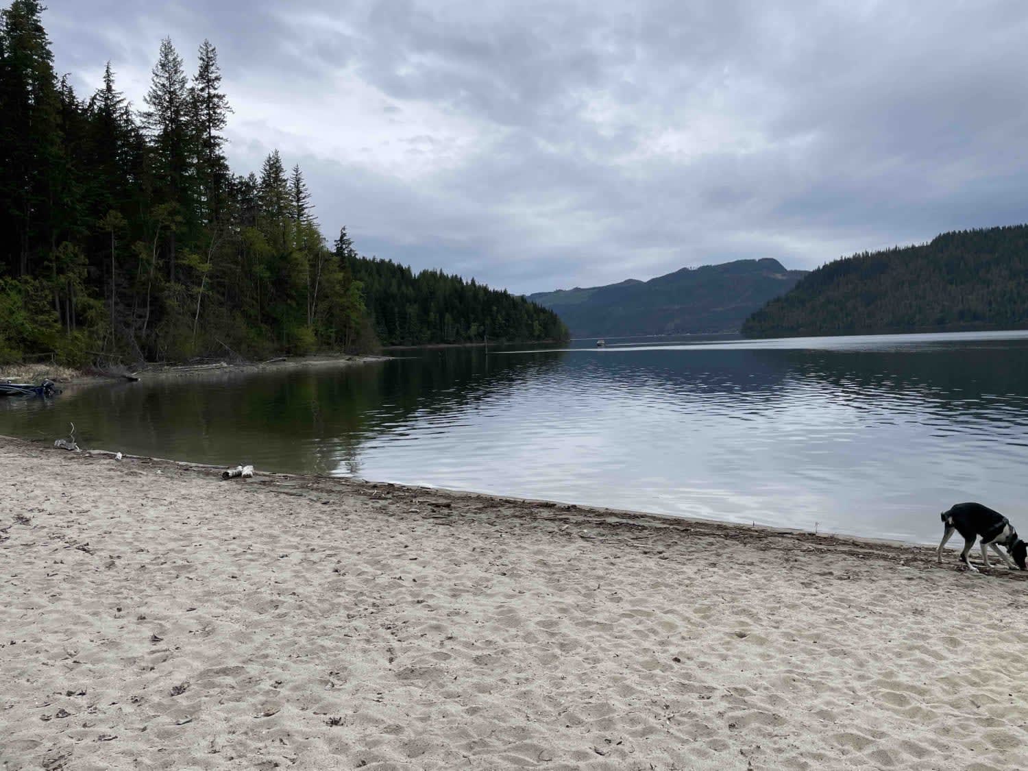
Strauss North offers a rewarding journey that leads from the main road to a lovely, undeveloped camping area directly on the banks of Lake Koocanusa. While the trail is primarily rated easy 1, be aware that sections narrow, and near the end, the difficulty increases to 2 or 3 due to larger rocks and off-camber sections. This camping area can be very busy, especially during peak seasons. Larger campers or bumper-pull trailers are advised to utilize the earlier camping spots along the trail, where the route is less technical. Expect narrow passages in certain areas, requiring careful navigation and cooperation with oncoming vehicles. Be prepared to pull off or back up to allow others to pass. Expect one bar of Verizon cell service, which can be intermittent. Therefore, downloading offline maps is essential.
Photos of Strauss North

Difficulty
Mix of easy and challenging sections. Be prepared for narrow passages and for yielding to oncoming traffic. While the initial sections are suitable for most vehicles, a 4x4 with good clearance is recommended for the latter part of the trail due to rocks and off-camber sections. Larger campers and bumper-pull trailers should stick to earlier, less technical camping spots.
History
Strauss North, within the Koocanusa Recreation Management Area (KMRA), grants access to a cherished section of Lake Koocanusa's shoreline. This land has been the traditional territory of the Ktunaxa people for millennia. The dramatic creation of Lake Koocanusa in the late 1960s and early 1970s, as a result of the Libby Dam project, transformed this river valley. What was once part of the Kootenay River system became this expansive lake, opening up new opportunities for recreation and redefining the landscape for both locals and visitors. The KRMA was established to manage and enhance recreational opportunities in the Lake Koocanusa area while protecting natural resources. The KRMA encompasses a large area of Crown land and offers a wide range of recreational activities, including camping, hiking, boating, fishing, and off-roading. The British Columbia Ministry of Forests, Lands, Natural Resource Operations, and Rural Development manages the KRMA. It is important to check their website for any closures or restrictions.
Status Reports
Strauss North can be accessed by the following ride types:
- High-Clearance 4x4
- SUV
- SxS (60")
- ATV (50")
- Dirt Bike
Strauss North Map
Popular Trails

Viewpoint Spur
Ratchford Road
Woods Lake to Jimmy Lake
Mabel Lake FSR to Cottonwood Rec Site
The onX Offroad Difference
onX Offroad combines trail photos, descriptions, difficulty ratings, width restrictions, seasonality, and more in a user-friendly interface. Available on all devices, with offline access and full compatibility with CarPlay and Android Auto. Discover what you’re missing today!