Squamish Indian Arm FSR
Total Kilometers
38.1
Technical Rating
Best Time
Summer, Fall
Trail Type
High-Clearance 4x4 Trail
Accessible By
Trail Overview
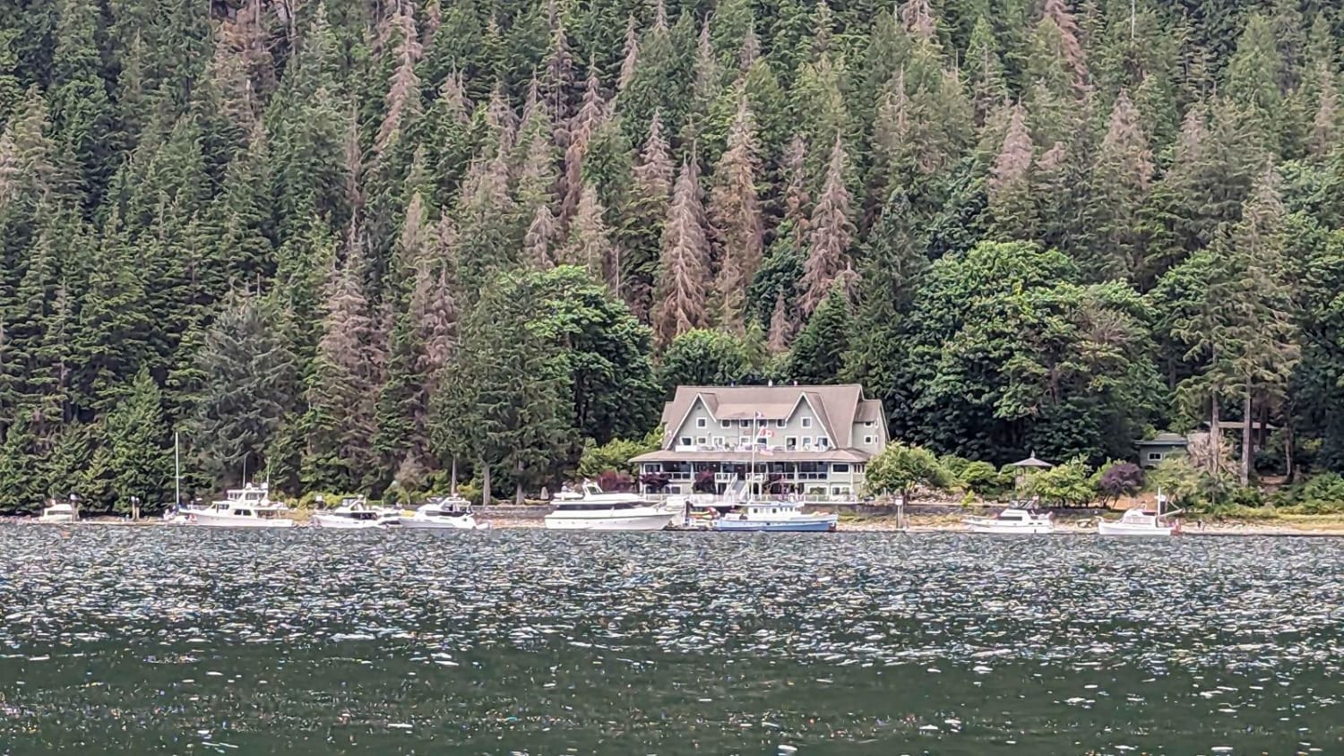
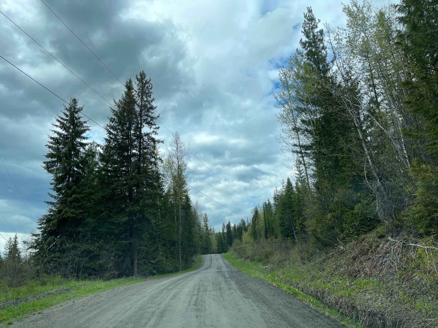
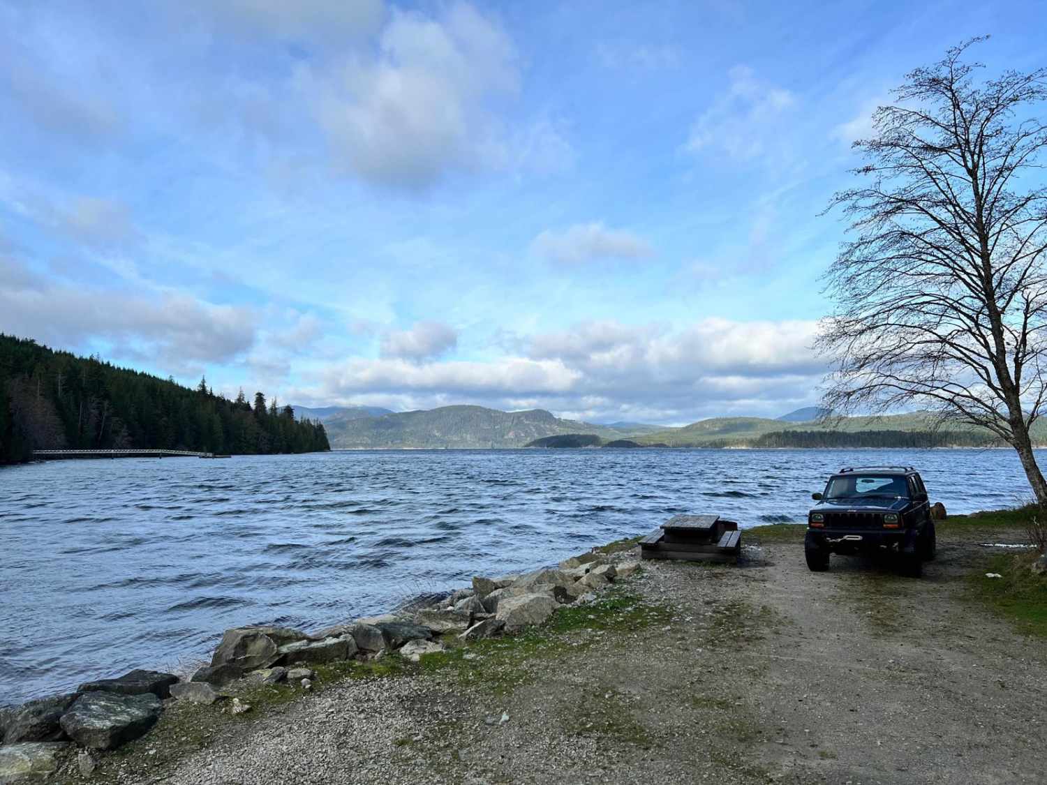
This gravel road leads from Squamish town in BC to the north end of Indian Arm-an ocean inlet. It is a Forest Service road that is not regularly maintained. You'll encounter gravel with loose sharp rocks, and it's pretty steep at the beginning (9-12 degrees). Since it's at a higher elevation, snow is present until the middle/end of June. Be prepared. Have a spare!
Photos of Squamish Indian Arm FSR
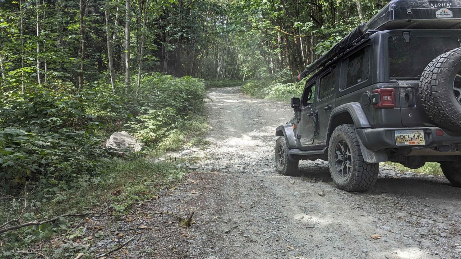
Difficulty
There are loose sharp rocks, steep hills, and washouts. During the summer months, it's passable by any vehicle with high clearance and good tires.
Status Reports
Squamish Indian Arm FSR can be accessed by the following ride types:
- High-Clearance 4x4
- SxS (60")
- ATV (50")
- Dirt Bike
Squamish Indian Arm FSR Map
Popular Trails
Bobby Burns Road

Tadpole Lake FST
Little Bear Bay

Sloquet Hot Springs
The onX Offroad Difference
onX Offroad combines trail photos, descriptions, difficulty ratings, width restrictions, seasonality, and more in a user-friendly interface. Available on all devices, with offline access and full compatibility with CarPlay and Android Auto. Discover what you’re missing today!