Milford Peak
Total Kilometers
5.3
Technical Rating
Best Time
Summer, Fall
Trail Type
Full-Width Road
Accessible By
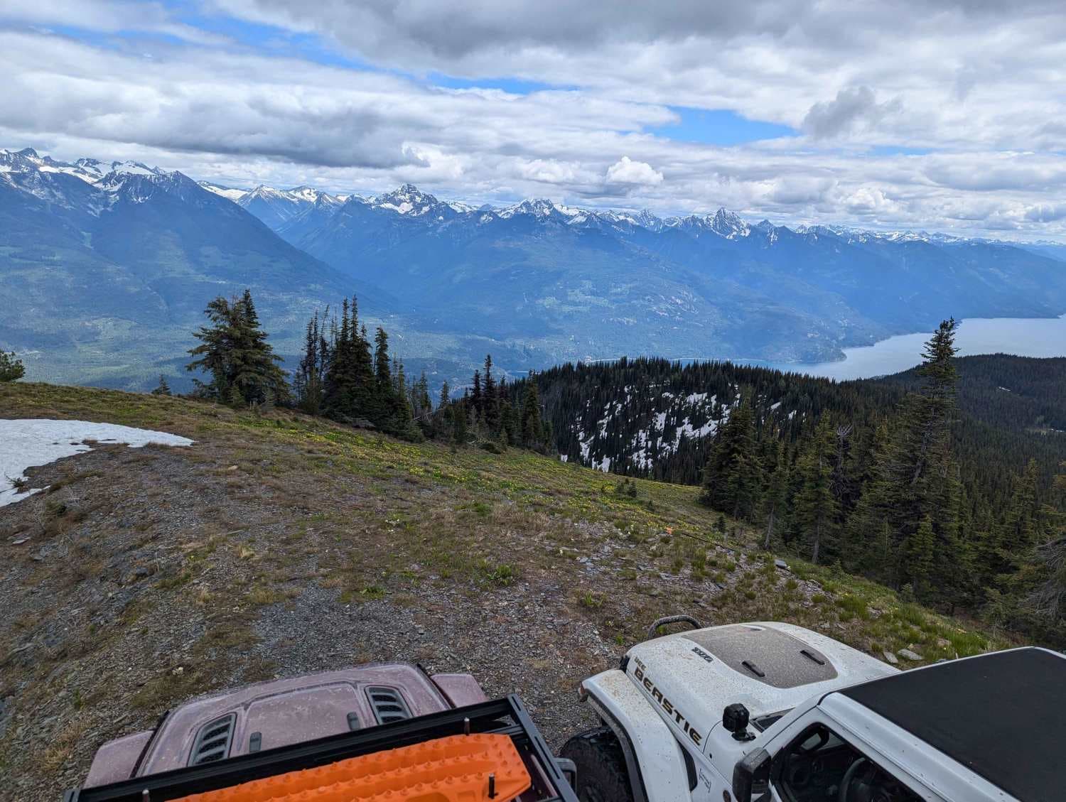
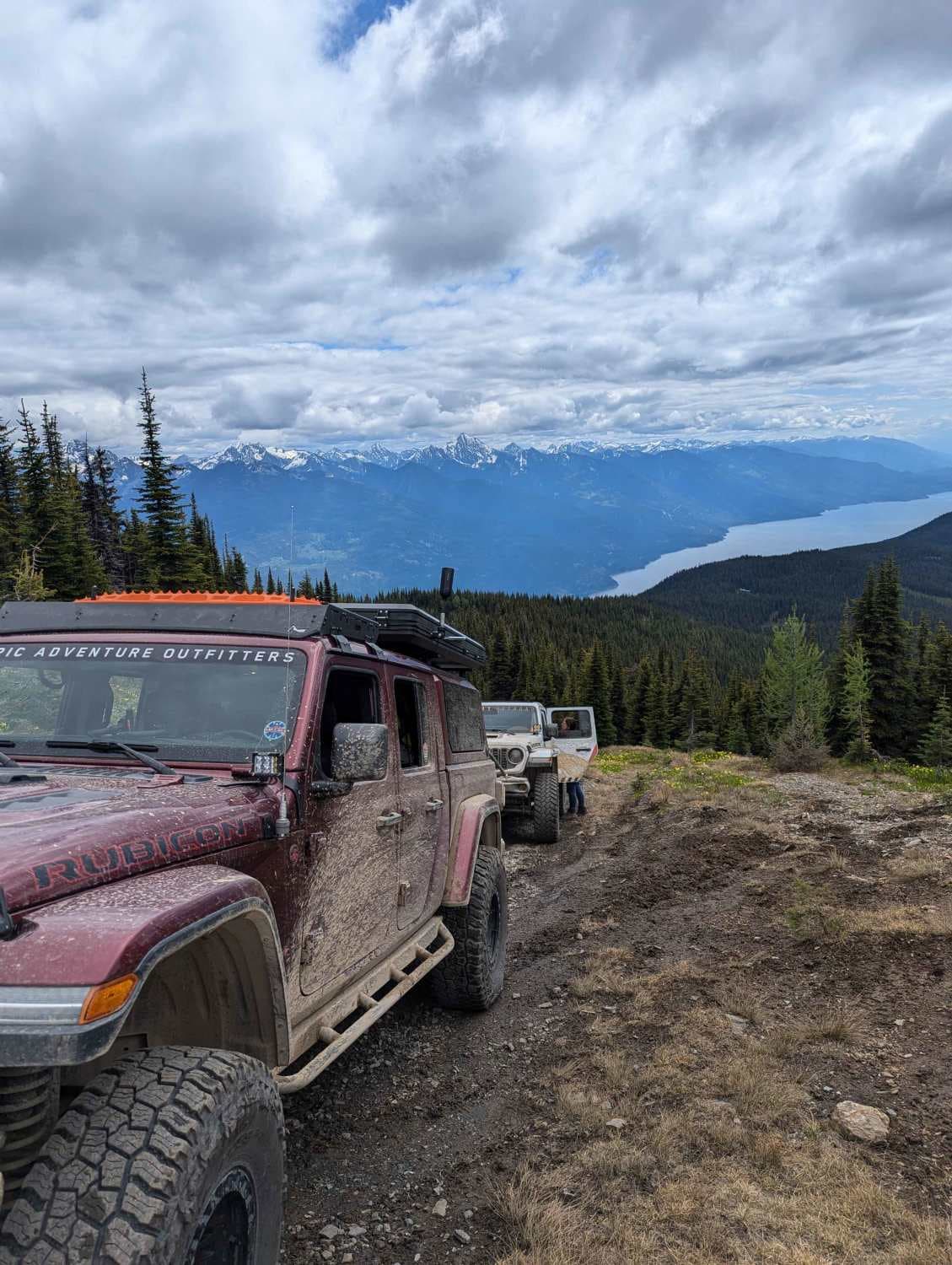
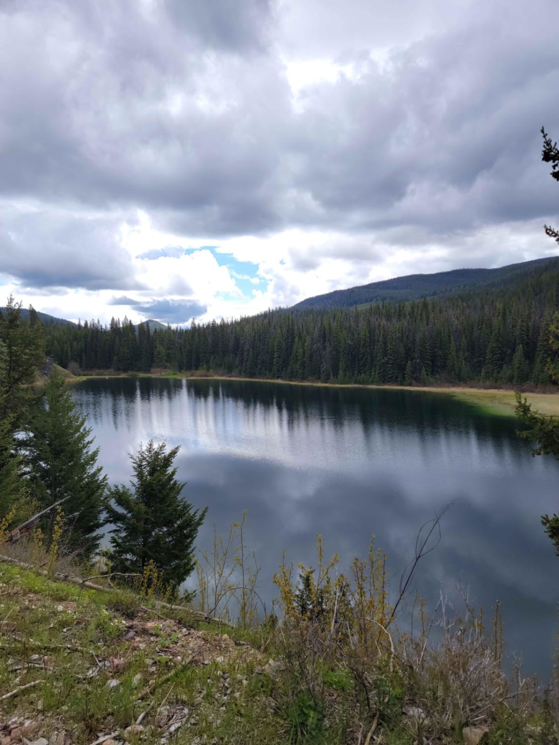
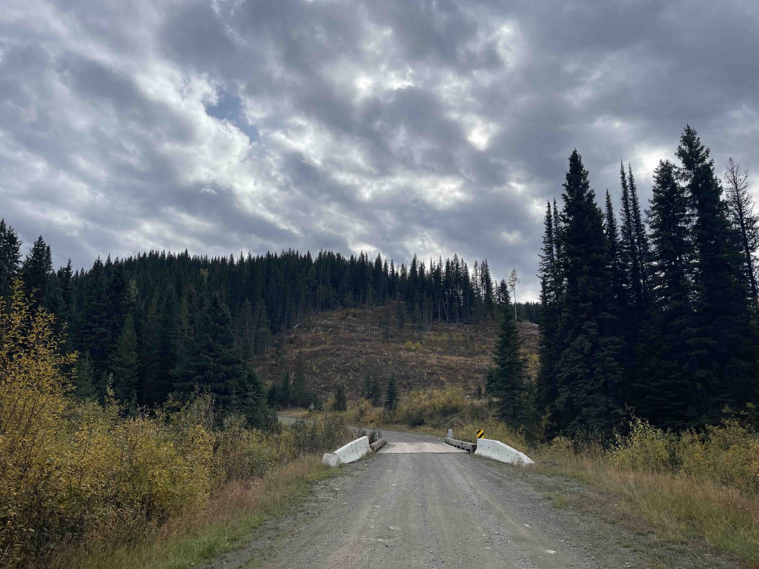
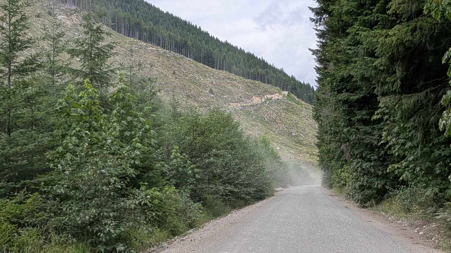
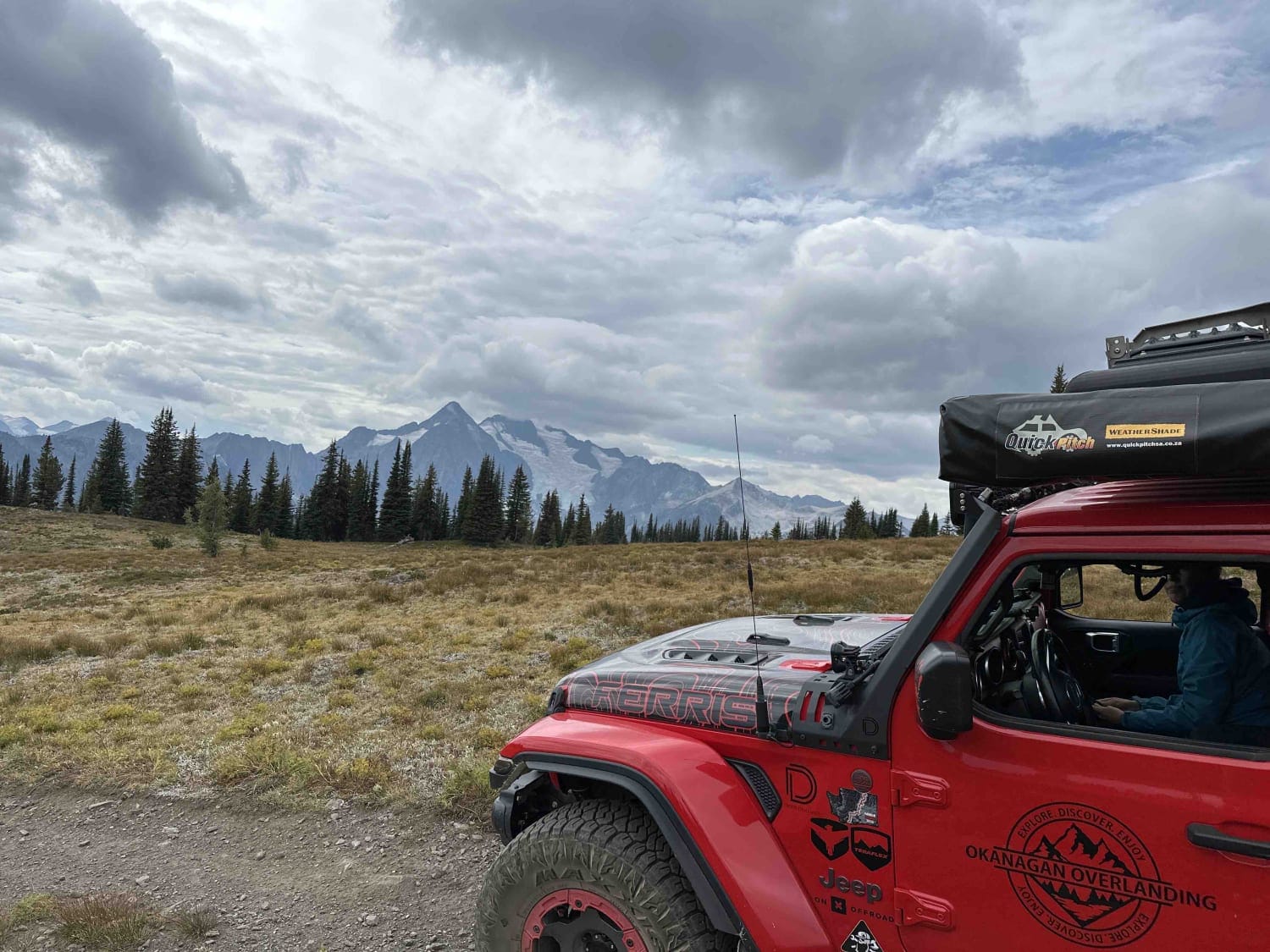
Trail Overview
The nearby Buchanan Lookout is a beautiful spot, but if you want an even better view of Kootenay Lake, Milford Peak is just 5km away. While the road to Buchanan is relatively easy for any vehicle with moderate ground clearance, the trail to Milford is a bit more demanding. There are narrow rutted treed sections that will cause pin-striping, and the run-up to the top of the peak has a 35-degree incline. A high-clearance 4x4 is recommended.
Photos of Milford Peak
Difficulty
The trail overall would be a 3 if it weren't for the 500m section at the top with the 35deg climb. It is steep enough that someone inexperienced could find themselves in very serious trouble (i.e.: rolling their vehicle hundreds of meters down a mountain) if they make an incorrect move.
Status Reports
Milford Peak can be accessed by the following ride types:
- High-Clearance 4x4
- SUV
- SxS (60")
- ATV (50")
- Dirt Bike
Milford Peak Map
Popular Trails
Blue Earth Lake
Keefer Lake Lodge
Gordon River Road North
Meadow Mountain
The onX Offroad Difference
onX Offroad combines trail photos, descriptions, difficulty ratings, width restrictions, seasonality, and more in a user-friendly interface. Available on all devices, with offline access and full compatibility with CarPlay and Android Auto. Discover what you’re missing today!