James Lake FSR
Total Kilometers
8.2
Technical Rating
Best Time
Spring, Summer, Fall, Winter
Trail Type
High-Clearance 4x4 Trail
Accessible By
Trail Overview
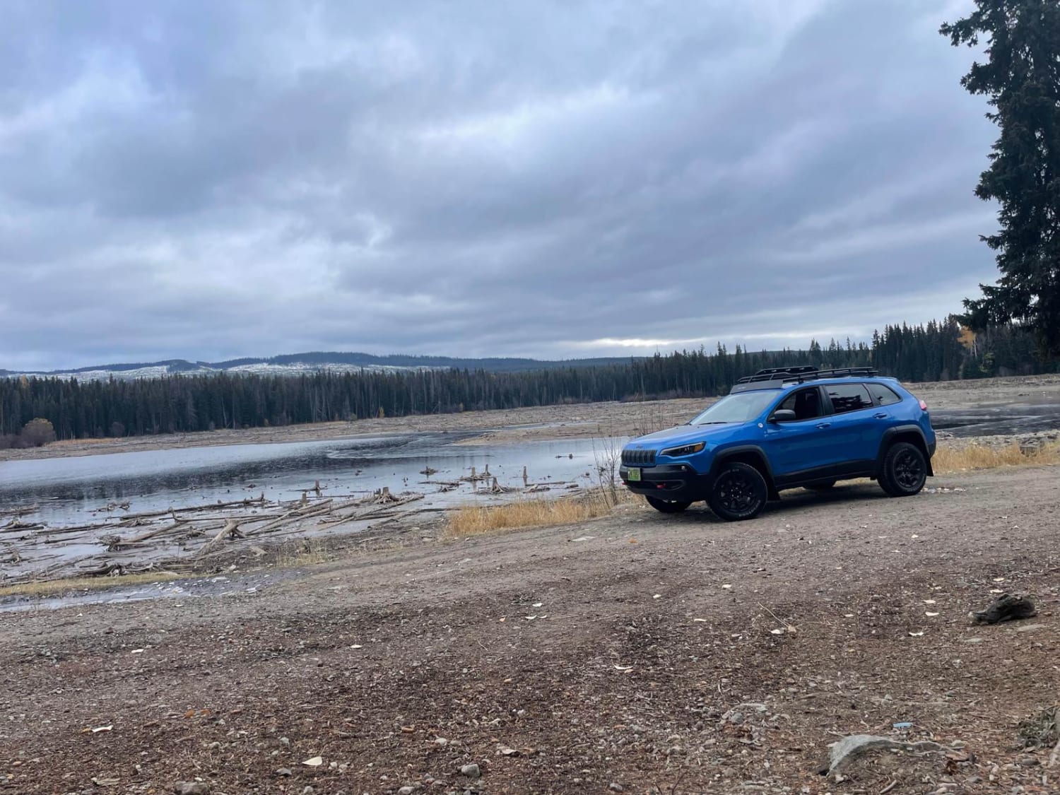
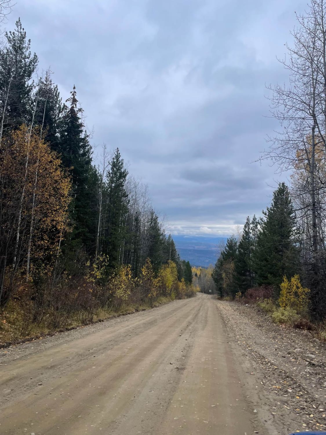
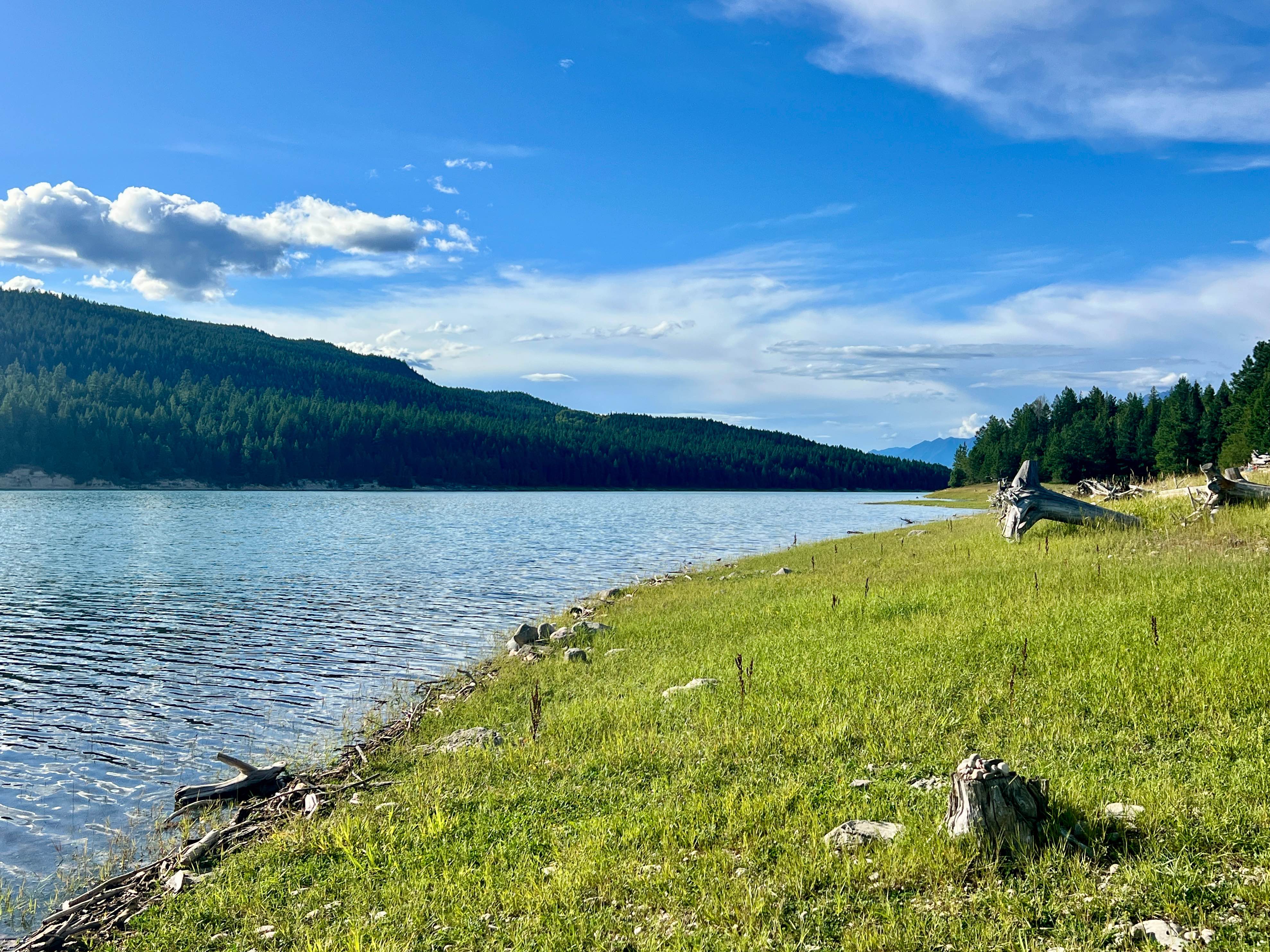
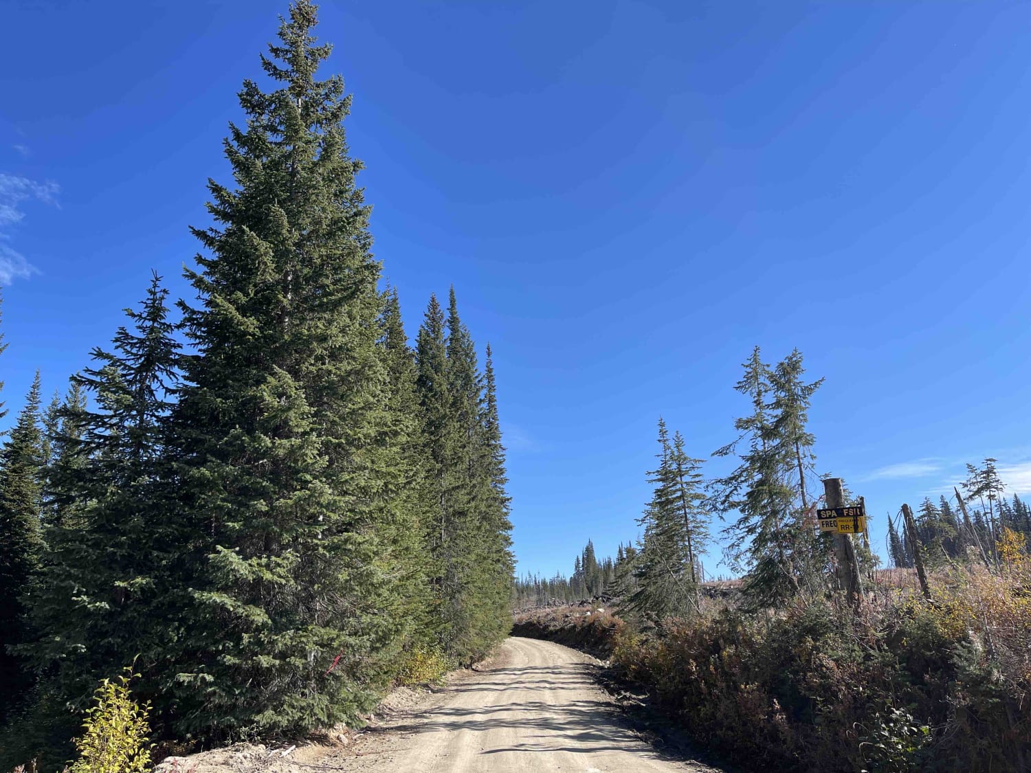
From Highway 33 you head north on Goudie Road. It is paved for the first 2-3 km and then there is a nice pullout area that you can stop and air down before hitting the dirt. This is a well travelled FSR road that has had some work done on it due to water erosion , and, if it is a rainy day, there will be some slick areas between km 7 and 8. When I travelled through this area was frozen with deep ruts even though it was recently repaired. But the dirt they have used it just too soft and it has been severely rutted. The rest of the road is pretty basic and wold be a 1/10. Just watch for the huge pot holes. Interesting the way the forest has been logged on the way up. If you look at the satellite view you will see it resemble a comb. Not sure why they have logged it this way. Maybe it is a new way of logging to prevent soil erosion versus the way most areas are logged using the clear cut method. At the end if this journey is the James Lake Rec Site. A decent sized rec site right on the lake. The lake was quite low due to drought like conditions over the last 4 months.
Photos of James Lake FSR
Difficulty
The majority of the road would be a 1 or 2/10 but due to the erosion and deep ruts around km 7 and 8 I have to bump this up to a 3. you could not do this road with out 4x4 if it were raining or during the winter melt due to this one area.
Status Reports
James Lake FSR can be accessed by the following ride types:
- High-Clearance 4x4
- SxS (60")
- ATV (50")
- Dirt Bike
James Lake FSR Map
Popular Trails
Suzie Loaded
Kokish Main
Spa Hills to Arthur Lake Rec Site
The onX Offroad Difference
onX Offroad combines trail photos, descriptions, difficulty ratings, width restrictions, seasonality, and more in a user-friendly interface. Available on all devices, with offline access and full compatibility with CarPlay and Android Auto. Discover what you’re missing today!