Esperson Lake to Christi Falls
Total Kilometers
6.1
Technical Rating
Best Time
Spring, Summer, Fall, Winter
Trail Type
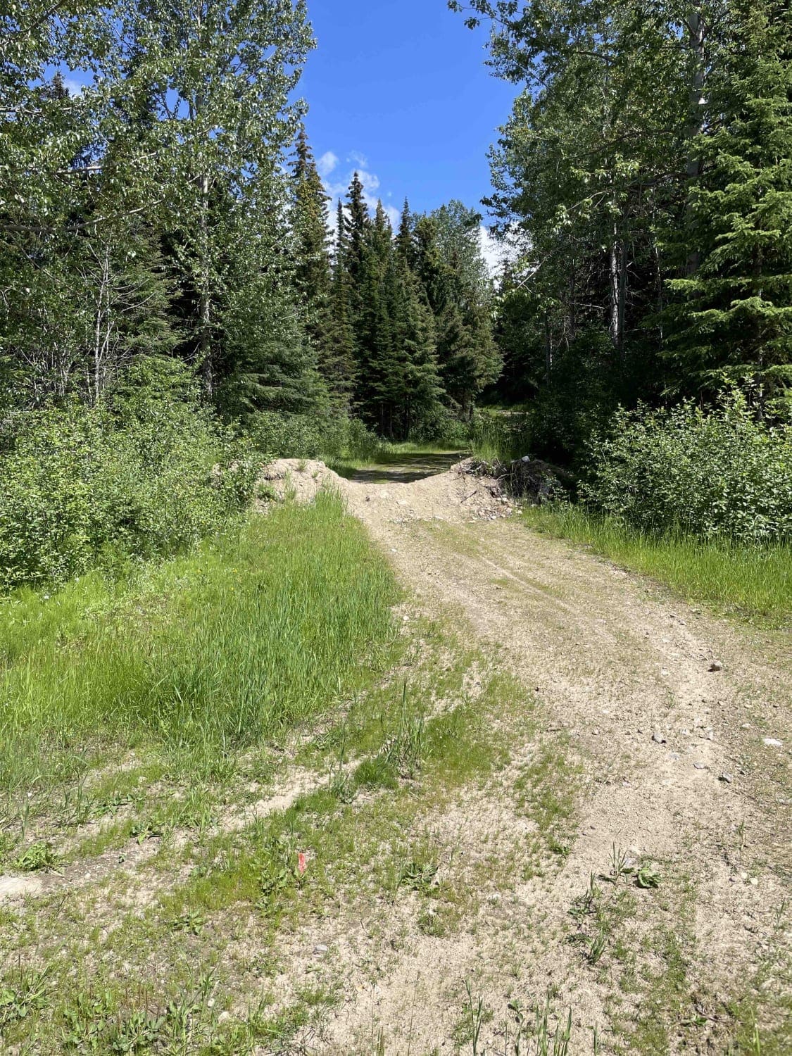
Full-Width Road
Accessible By
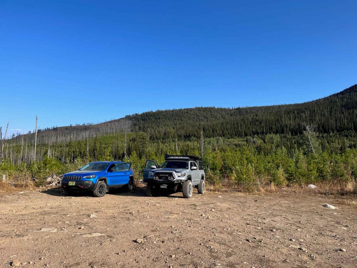
Trail Overview
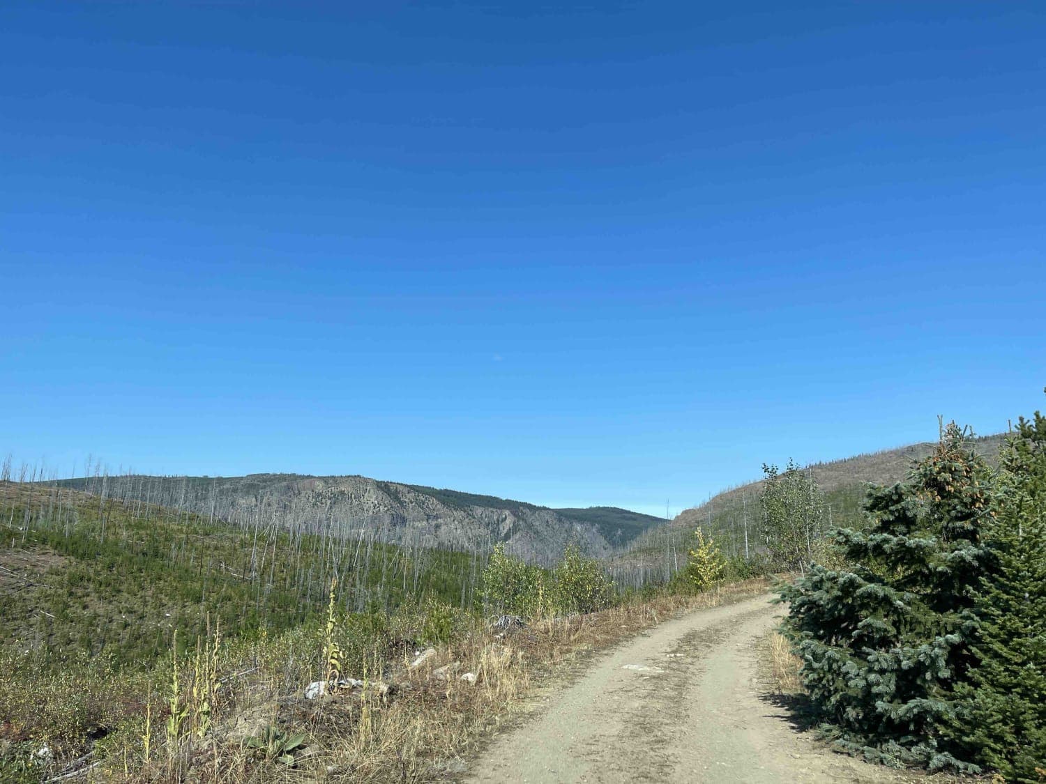
Once you leave Esperson Lake there are a few directions you can travel. This route takes you to a trailhead where you can hike in and scramble down a cliff face to a destination called Christi Falls. The Falls is pretty spectacular and well worth the hike down the mountainside with rope assist. There is a large parking area once you get to the end of the road and the hike to the falls take about 20 minutes at most. The waterfall forms an ice cone in the winter and is a popular destination for ice climbers. there are also two small caverns to check out!
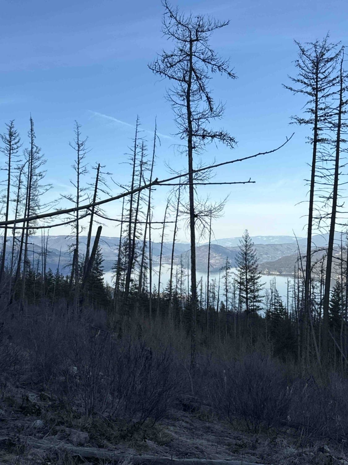
Photos of Esperson Lake to Christi Falls
Difficulty
Once on the trail to Christi Falls the road gets rough and has a lot of potholes and washboarding that will slow down most vehicles.
Status Reports
Esperson Lake to Christi Falls can be accessed by the following ride types:
- High-Clearance 4x4
- SUV
- SxS (60")
- ATV (50")
- Dirt Bike
Esperson Lake to Christi Falls Map
Popular Trails
Grizzly FSR to Haddo Lake
Terrace Mountain Connector

Kidney Lake
The onX Offroad Difference
onX Offroad combines trail photos, descriptions, difficulty ratings, width restrictions, seasonality, and more in a user-friendly interface. Available on all devices, with offline access and full compatibility with CarPlay and Android Auto. Discover what you’re missing today!