Horns Mountain - FS 1500-210
Total Kilometers
3.3
Technical Rating
Best Time
Spring, Summer, Fall
Trail Type
Full-Width Road
Accessible By
Trail Overview
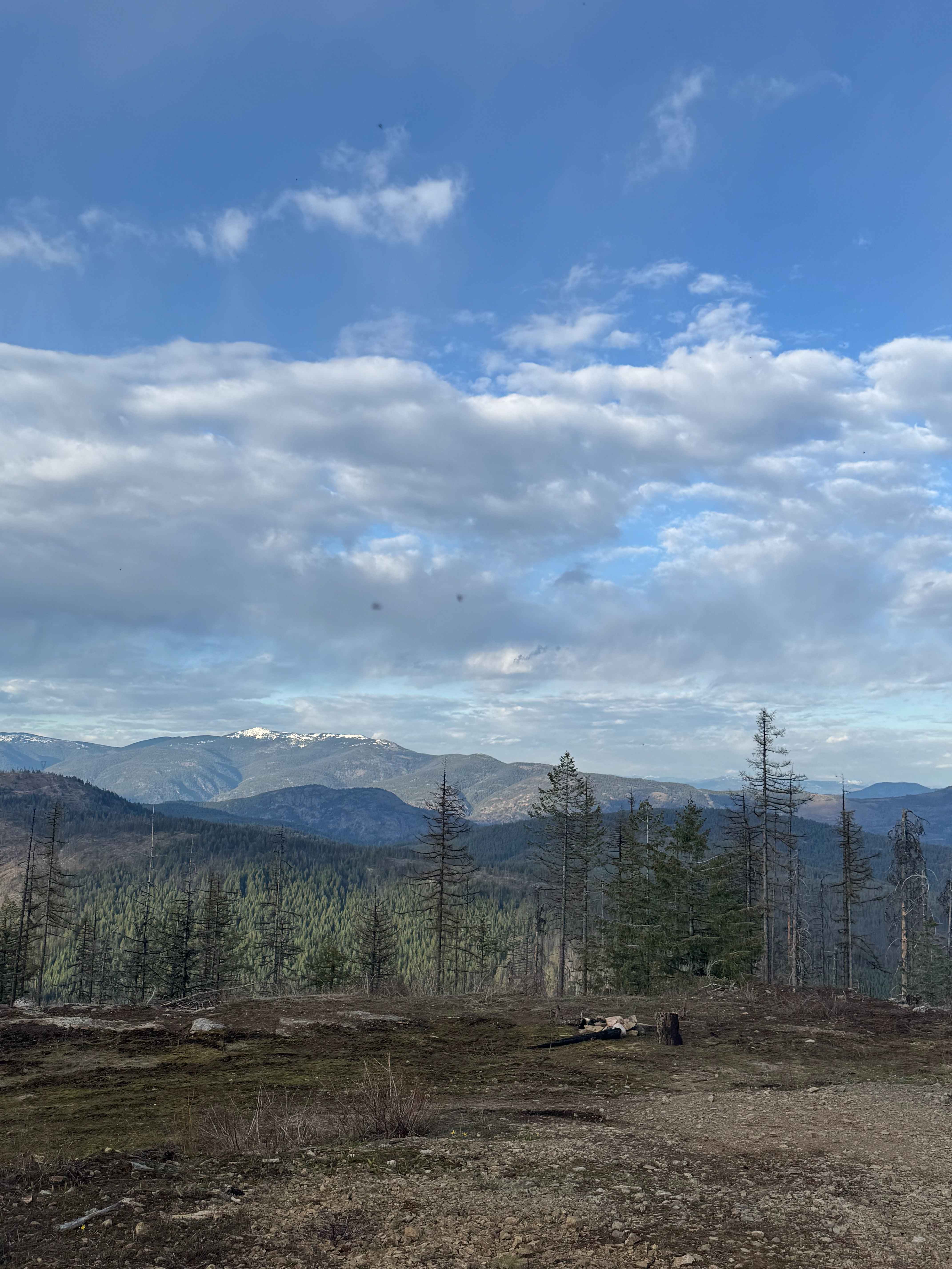
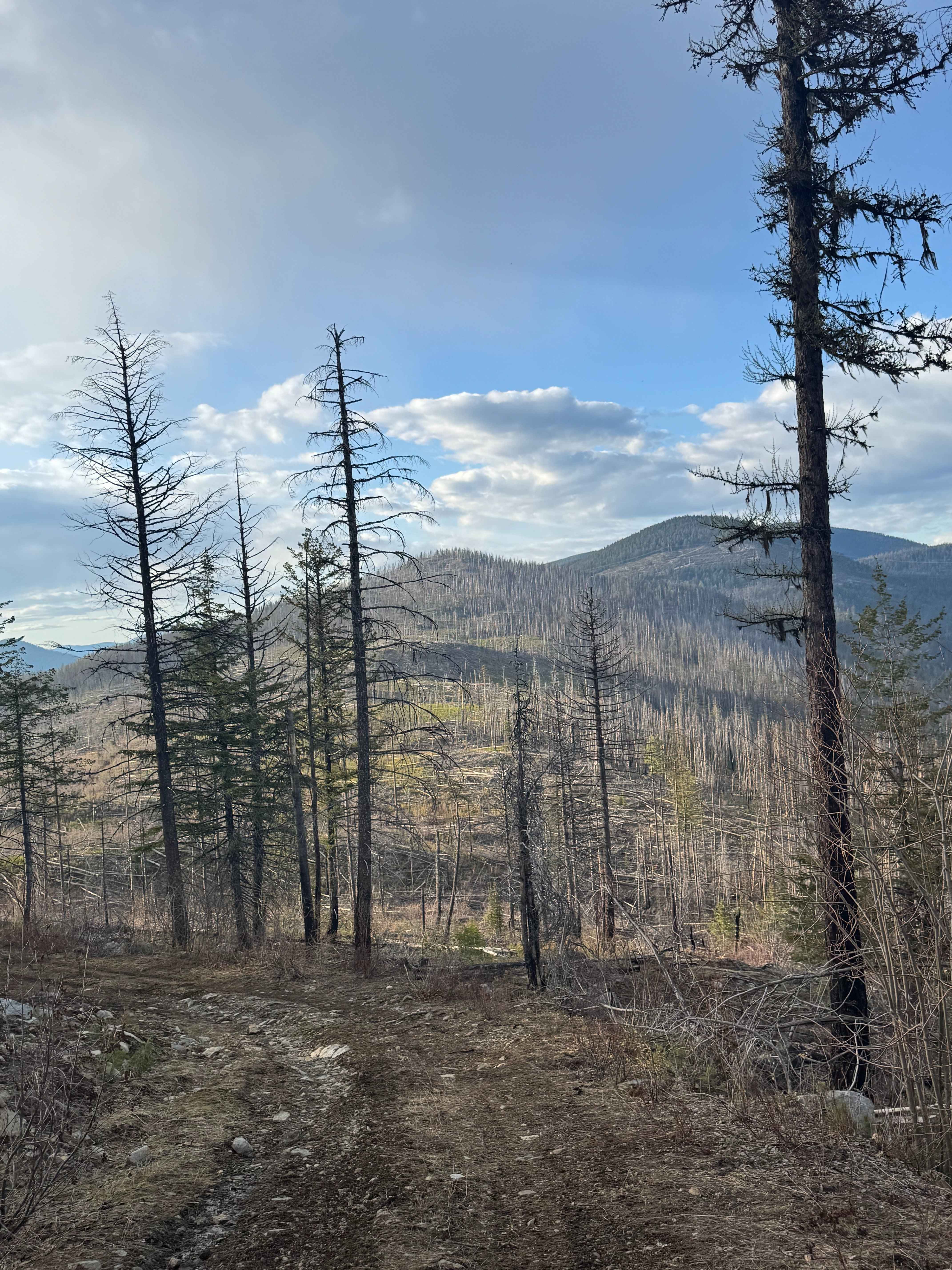
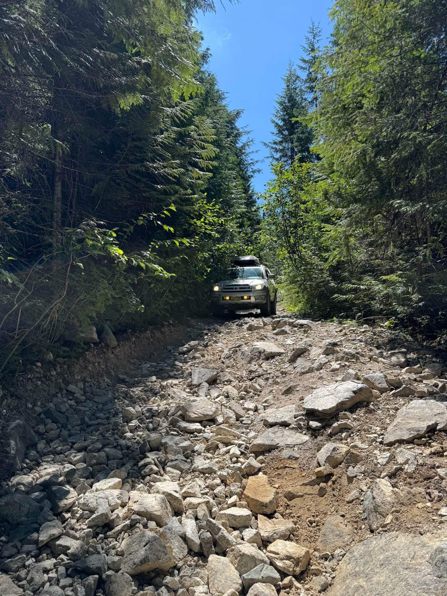
This is a dirt-based trail that leads to a large campsite with a pre-existing fire ring just below the peak of Horns Mountain. The trail gradually climbs in the beginning before leveling out just below a ridge and running parallel to the Canadian and US border. In the beginning, it is forested and narrow with a ledge and a couple of switchbacks, then it enters an old burn area where there are downed trees all around. The trees line the path that is very narrow and just wide enough for a 4x4 vehicle to pass through. You may pick up a scratch or two traveling this trail. There are some ruts less than a foot deep, and one mud hole in a dip in the trail that you don't want to stop in due to the muddy bottom. From the end/top of the trail, you have an amazing view of the Canadian mountains across the border. There was no cellphone service along this trail, and downloading the offline map would be beneficial. There are no amenities or services on the trail, and you are over an hour away from the nearest services or help, but the rewarding views are worth the effort. A 4x4 vehicle is recommended for this trail.
Photos of Horns Mountain - FS 1500-210
Difficulty
Dirt-based trail through an old burn area with trees down all along the trail, creating a very narrow path.
Status Reports
Horns Mountain - FS 1500-210 can be accessed by the following ride types:
- High-Clearance 4x4
- SUV
- SxS (60")
- ATV (50")
- Dirt Bike
Horns Mountain - FS 1500-210 Map
Popular Trails

Lake Helena Road
Mabel Lake FSR to Cottonwood Rec Site
Finger 5
Richardson Lake Trail
The onX Offroad Difference
onX Offroad combines trail photos, descriptions, difficulty ratings, width restrictions, seasonality, and more in a user-friendly interface. Available on all devices, with offline access and full compatibility with CarPlay and Android Auto. Discover what you’re missing today!