Copper River Road
Total Kilometers
19.6
Technical Rating
Best Time
Spring, Summer, Fall
Trail Type
Full-Width Road
Accessible By
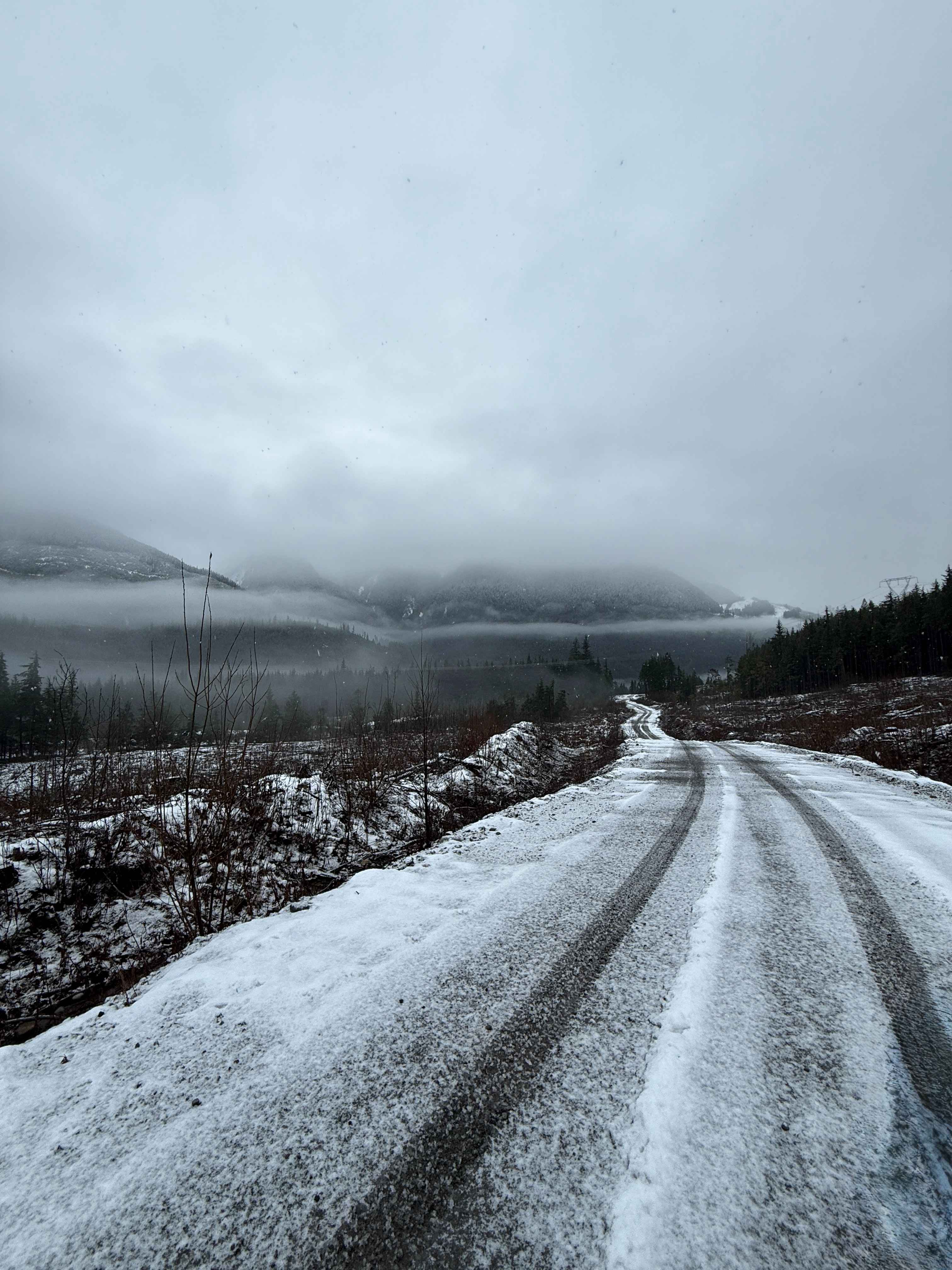
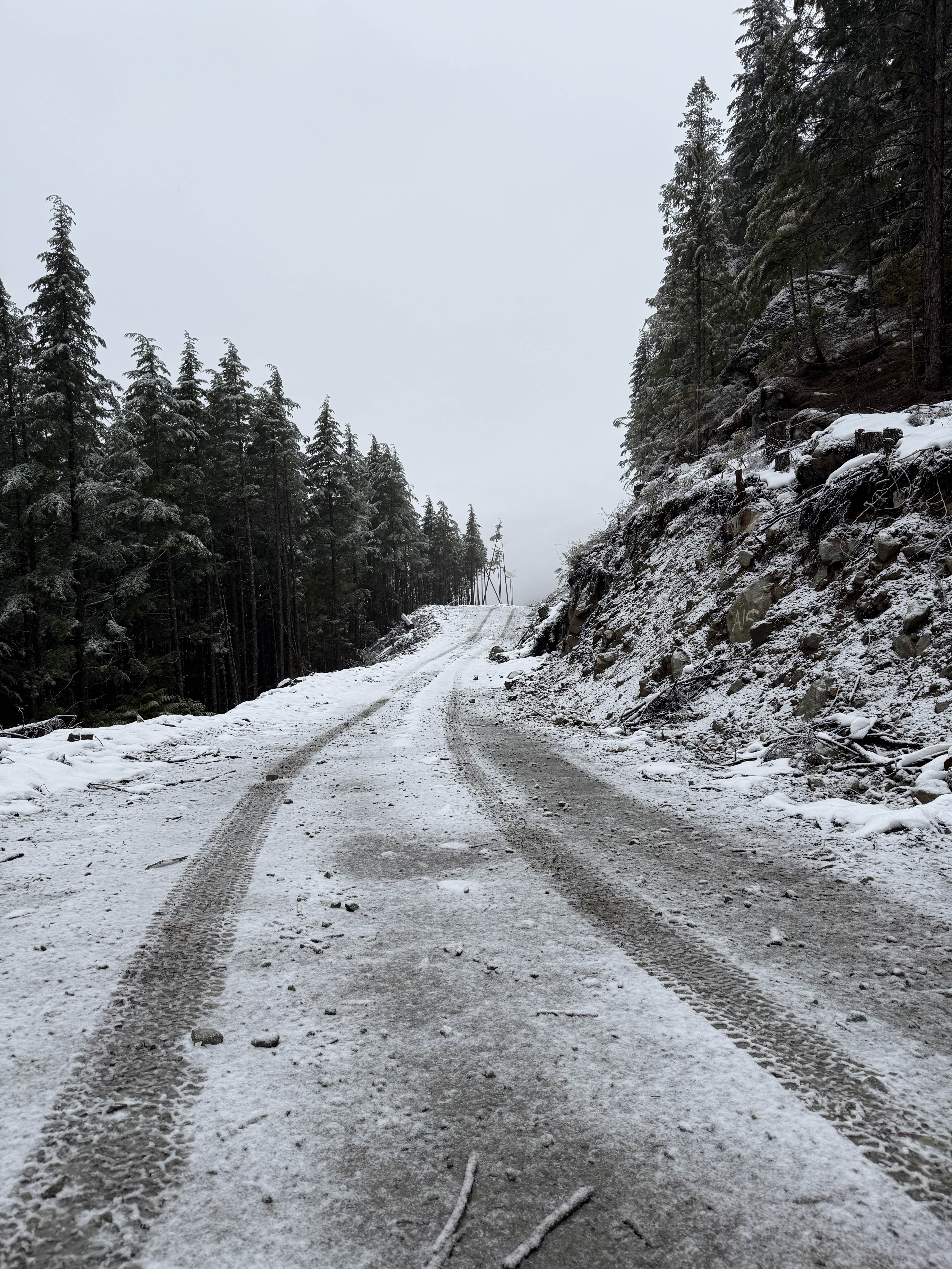
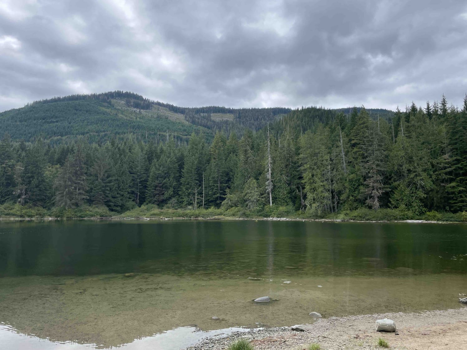
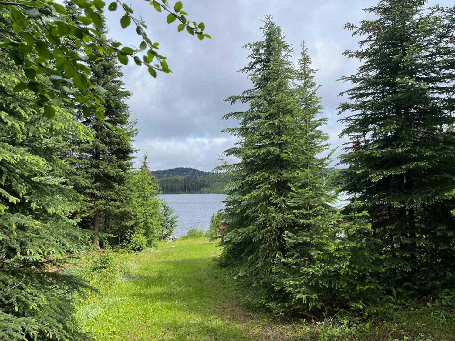
Trail Overview
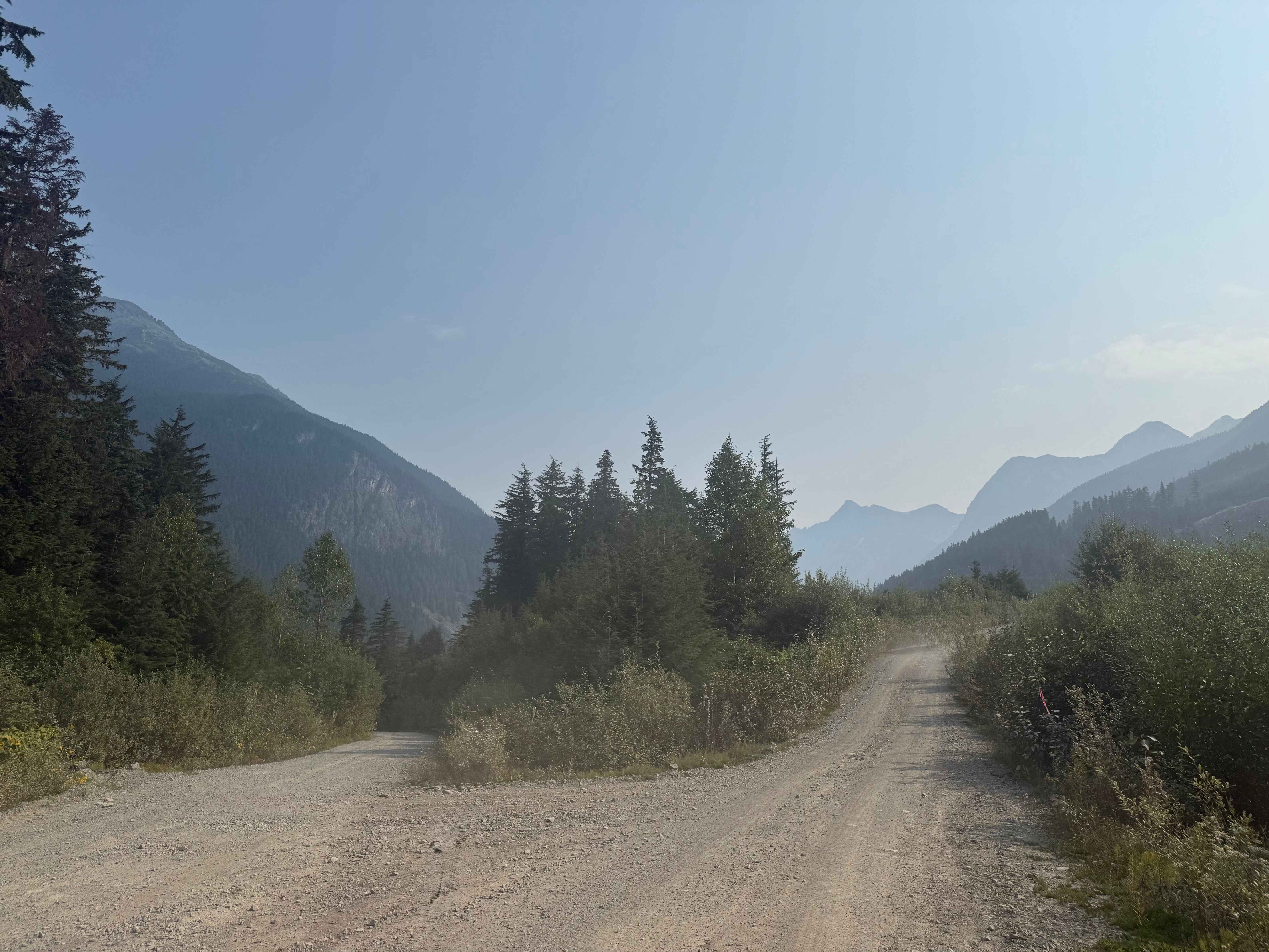
Copper River road runs along the Zymoetz River and active cut blocks. As you drive, you will also pass under a power line. The road is a gravel forest service road with numerous potholes and several washouts. While generally an easy route, the washout can be moderately deep, requiring a vehicle with some clearance. There are many spots where you can get a view of the mountains, side spur trails to explore, and even a mine shaft to find. Easily the highlight along the road is a waterfall that is impossibly close to the road. Watch for loose large rocks as they are common on the road.
Photos of Copper River Road
Difficulty
Not a difficult trail, but there are a number of washouts that can be deep. There are also spots where large rocks have fallen on the road.
Status Reports
Copper River Road can be accessed by the following ride types:
- High-Clearance 4x4
- SUV
- SxS (60")
- ATV (50")
- Dirt Bike
Copper River Road Map
Popular Trails

Thome Lake FSR
Woss to Woss Lake Rec Site
Jamieson Creek Road to Allan Lake
Cranberry Forest Service Road
The onX Offroad Difference
onX Offroad combines trail photos, descriptions, difficulty ratings, width restrictions, seasonality, and more in a user-friendly interface. Available on all devices, with offline access and full compatibility with CarPlay and Android Auto. Discover what you’re missing today!