Camel Hump FSR
Total Kilometers
6.9
Technical Rating
Best Time
Spring, Summer, Fall
Trail Type
Full-Width Road
Accessible By
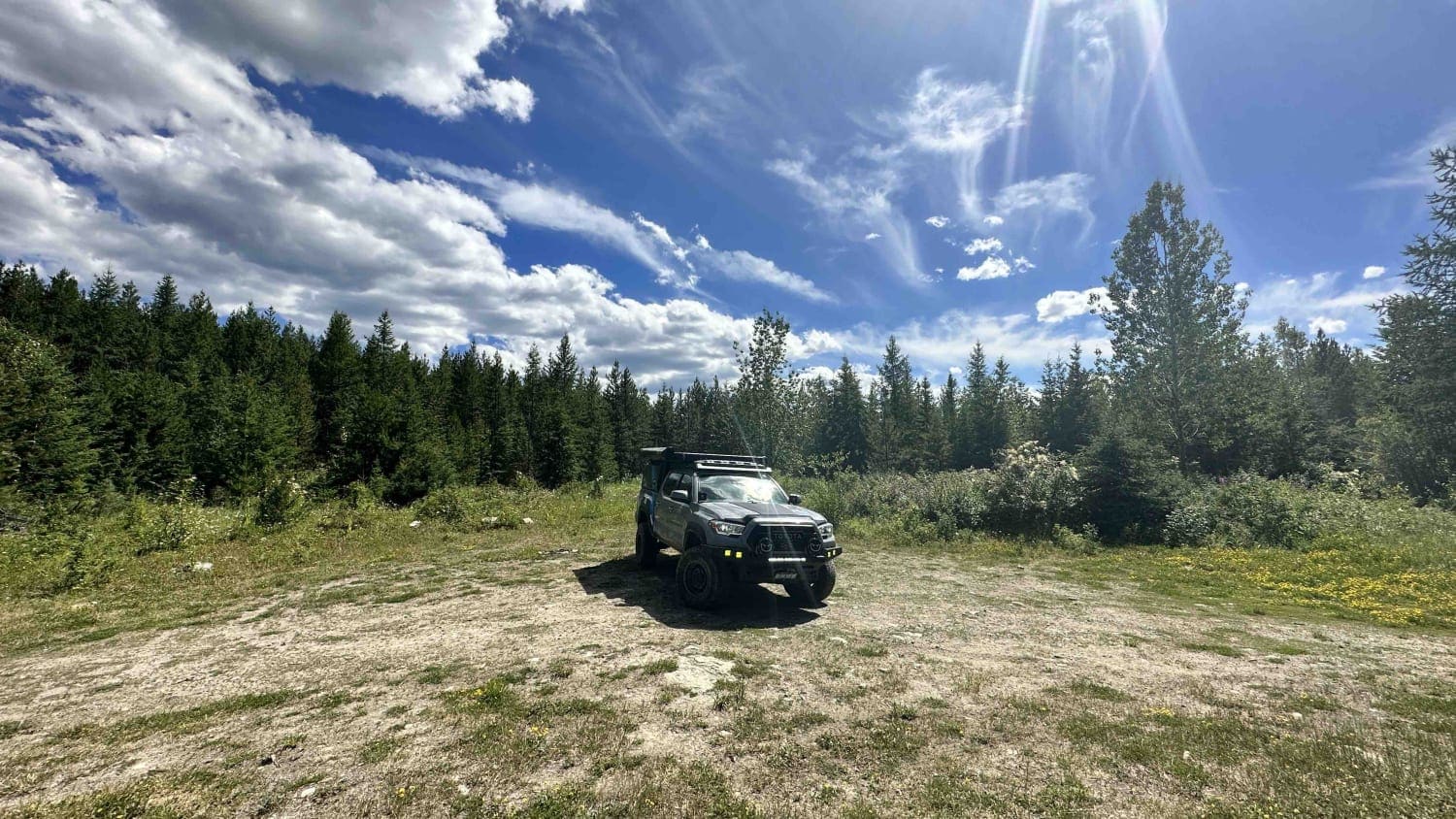
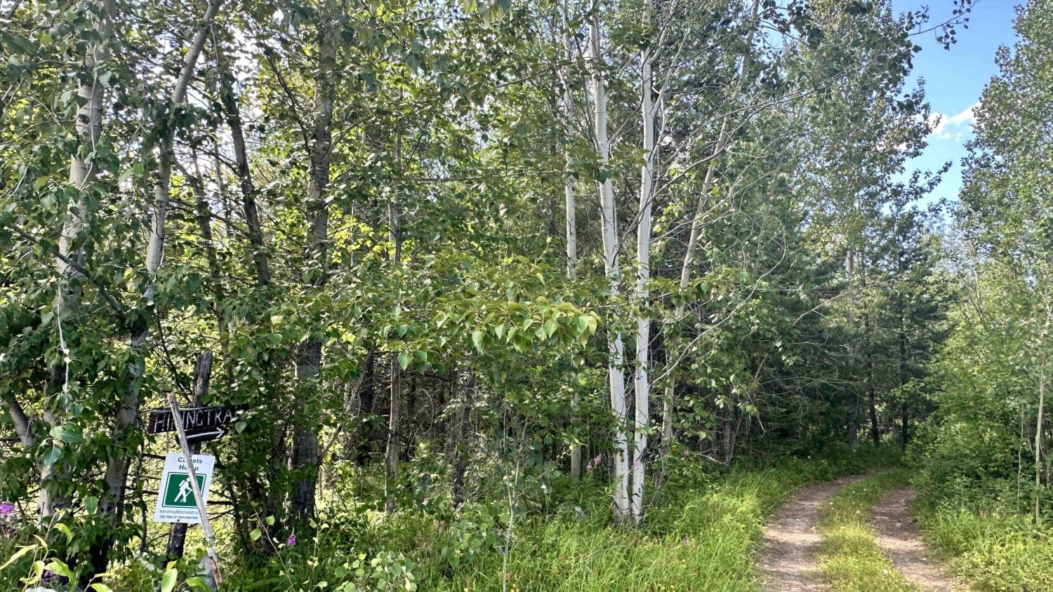
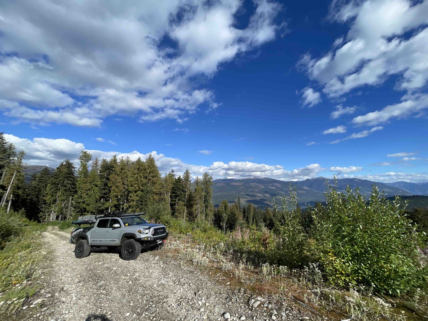
Trail Overview
Camel Hump FSR takes you along a small lake (Clier Lake) and climbs up to the top of Camel Hump Mountain where there are some well-known hiking trails that people often frequent. The road changes from soft silty sand to gravel and rocky conditions. There are some narrow sections that are grown in and may limit larger rigs to get through without getting some pinstripes but generally, most SUVs and even cars could make it to the end of the road where the hiking trail parking lot is located.
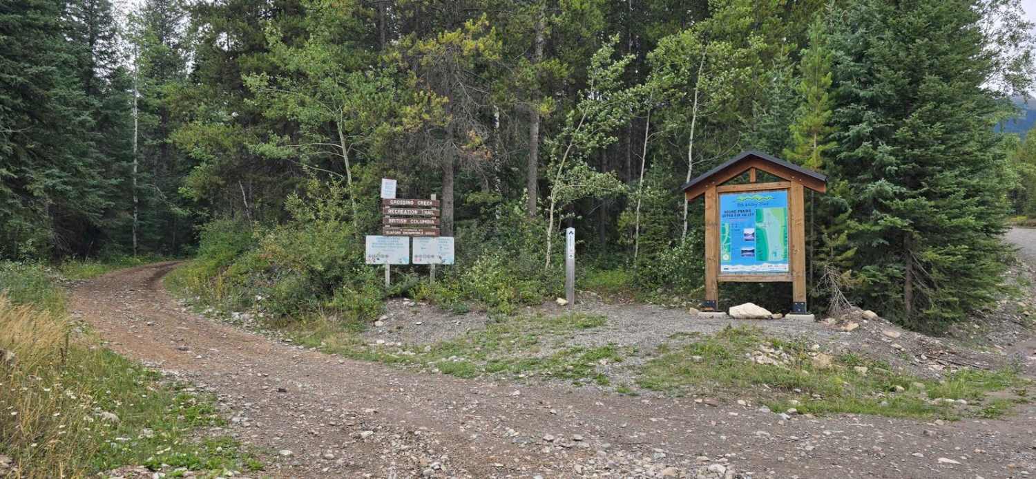
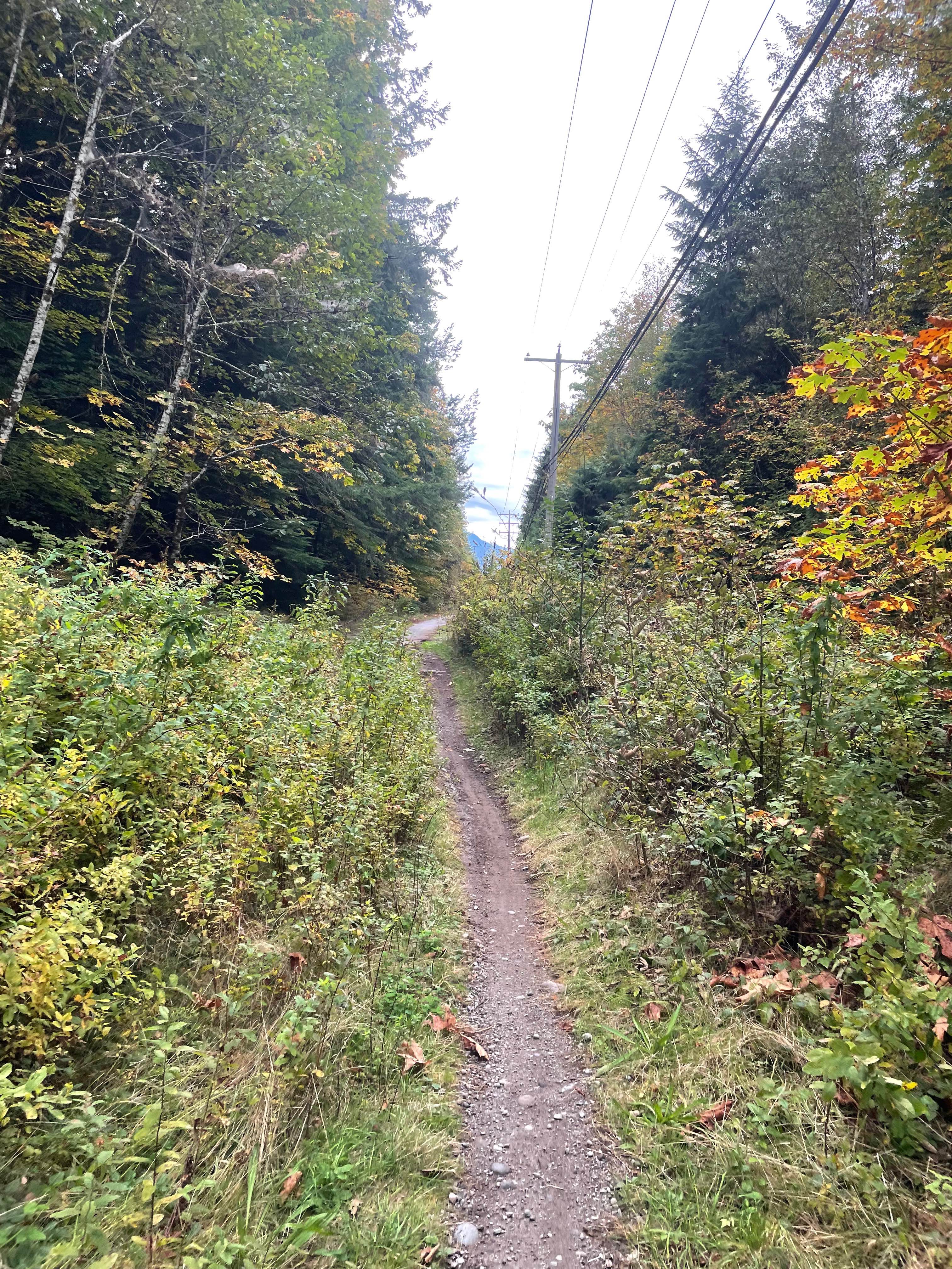
Photos of Camel Hump FSR
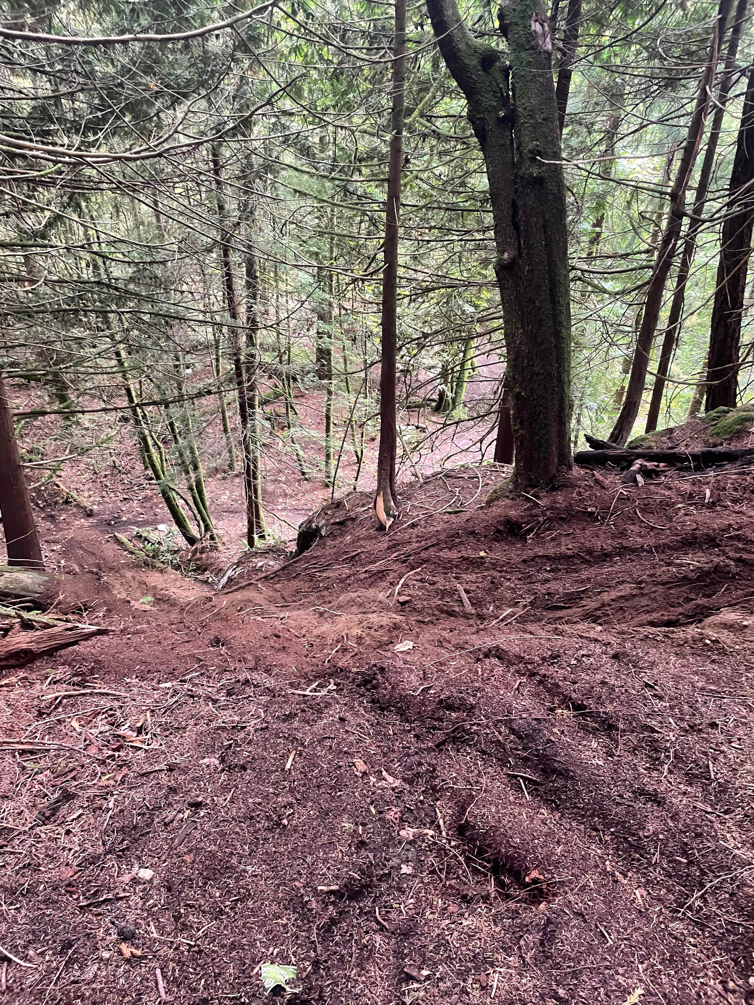
Difficulty
This trail features ruts, sandy, rocky all passable but cars and small SUVs can straddle some of the ruts to pass through.
Status Reports
Camel Hump FSR can be accessed by the following ride types:
- High-Clearance 4x4
- SUV
- SxS (60")
- ATV (50")
- Dirt Bike
Camel Hump FSR Map
Popular Trails
Crossing Creek
Old Government Road Single Track
Blanket Creek Road
Finger 5
The onX Offroad Difference
onX Offroad combines trail photos, descriptions, difficulty ratings, width restrictions, seasonality, and more in a user-friendly interface. Available on all devices, with offline access and full compatibility with CarPlay and Android Auto. Discover what you’re missing today!