Brewer to Cresent FSR
Total Kilometers
3.5
Technical Rating
Best Time
Spring, Summer, Fall, Winter
Trail Type
High-Clearance 4x4 Trail
Accessible By
Trail Overview
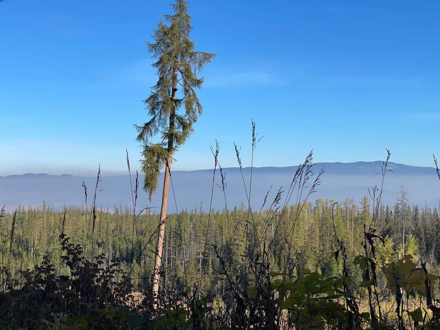
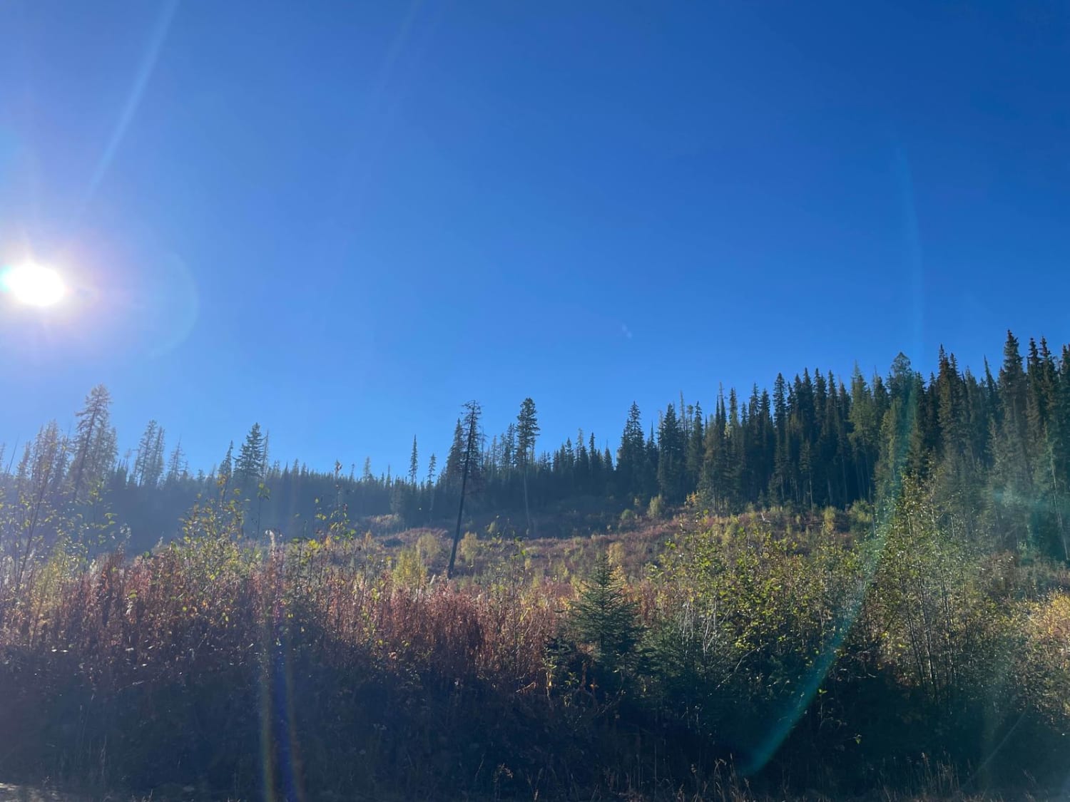
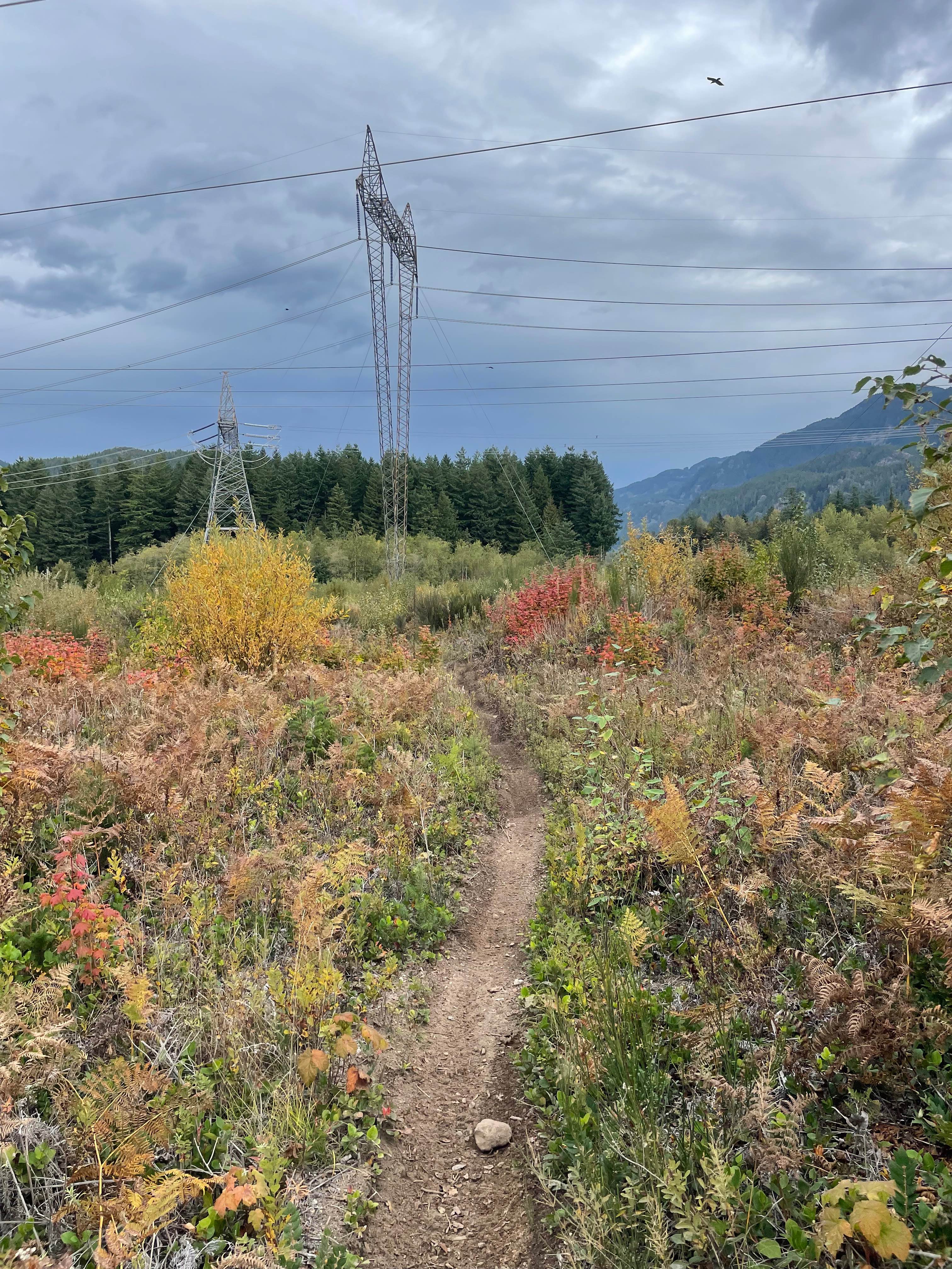
This single-wide trail is pretty well maintained but at the same time, I would say not heavily traveled. This drive was great to see the fall foliage change. The objective of taking this trail was to connect from the Kind Eddie side of the backcountry FSR network over to the Aberdeen Lake Side. This is the first section of this. You follow Brewer FSR which will eventually turn into Crescent. The road is mostly dirt and gravel, loose rock but easily traveled on with anything with a bit of clearance. The road does not seem to be actively being logged. No cell coverage along the way so make sure you have some kind of communication like an In-Reach or Spot or even a HAM Radio.
Photos of Brewer to Cresent FSR
Difficulty
Overall not a challenging trail. There are a few rutted areas but they can easily be passed with care
Status Reports
Brewer to Cresent FSR can be accessed by the following ride types:
- High-Clearance 4x4
- SxS (60")
- ATV (50")
- Dirt Bike
Brewer to Cresent FSR Map
Popular Trails

Ashlu River FSR

Bald Eagle Range FSR
Rob's Rip Connector

Bluenose FSR
The onX Offroad Difference
onX Offroad combines trail photos, descriptions, difficulty ratings, width restrictions, seasonality, and more in a user-friendly interface. Available on all devices, with offline access and full compatibility with CarPlay and Android Auto. Discover what you’re missing today!