Terrace Mountain Connector
Total Kilometers
6.5
Technical Rating
Best Time
Spring, Summer, Fall
Trail Type
Full-Width Road
Accessible By
Trail Overview
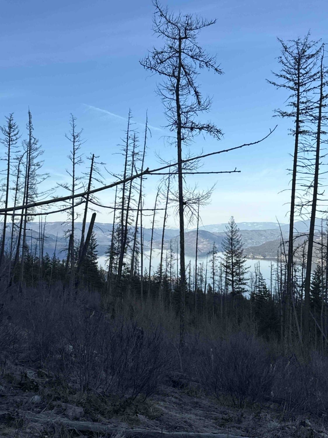
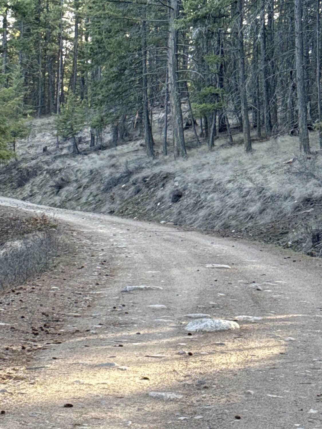
This trail connects Westside Road near Fintry, British Columbia, to the junction of Bald Range Creek Road and Terrace Mountain Road. There's limited space at the trailhead to air down, so if you're in a group, consider finding a spot close by before hitting the trail. Initially, the trail is fairly gentle with minimal potholes, passing through forested areas of pine and fir trees. As you continue, the road gradually becomes more challenging with water runoff creating ruts and smaller rocks protruding from the gravel. About halfway up on the right, you'll find an area for dispersed camping, though there are multiple spots along the trail where you could set up camp. Dirt bike and ATV trails crisscross the area. Beyond the camping spot, the trail becomes even more difficult, with larger rocks and greasy sections of wet mud. Engaging 4High is necessary, and 4Lo can be beneficial in some areas. Along the drive, there are occasional openings in the trees offering beautiful views of Okanagan Lake. Expect a few small water crossings, likely to disappear by summer. As you gain elevation, you'll encounter small sections of snow. At the trail's end, you have two options: Terrace Mountain Road to the right, which is deactivated a few hundred feet away, or Bald Range Creek Road to the left, leading eventually to Bear Lake Main FSR. Cell service is fairly reliable throughout the trail.
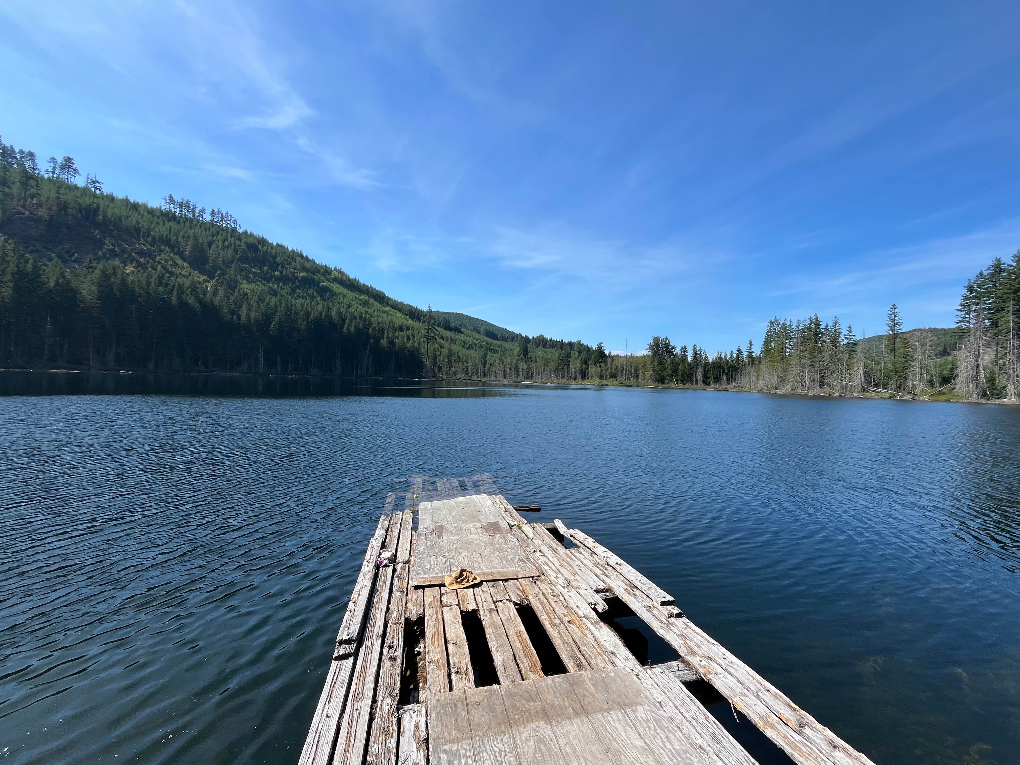
Photos of Terrace Mountain Connector
Difficulty
Most of the trail would be considered about a 3, but 4 was chosen for this trail due to a section about two-thirds of the way up where you have to pick your line a little better. Slick mud makes it more difficult than it would probably be mid-summer, when all the water is dry.
Status Reports
Terrace Mountain Connector can be accessed by the following ride types:
- High-Clearance 4x4
- SUV
- SxS (60")
- ATV (50")
- Dirt Bike
Terrace Mountain Connector Map
Popular Trails
Salmon Glacier Road

Abandonded Campground
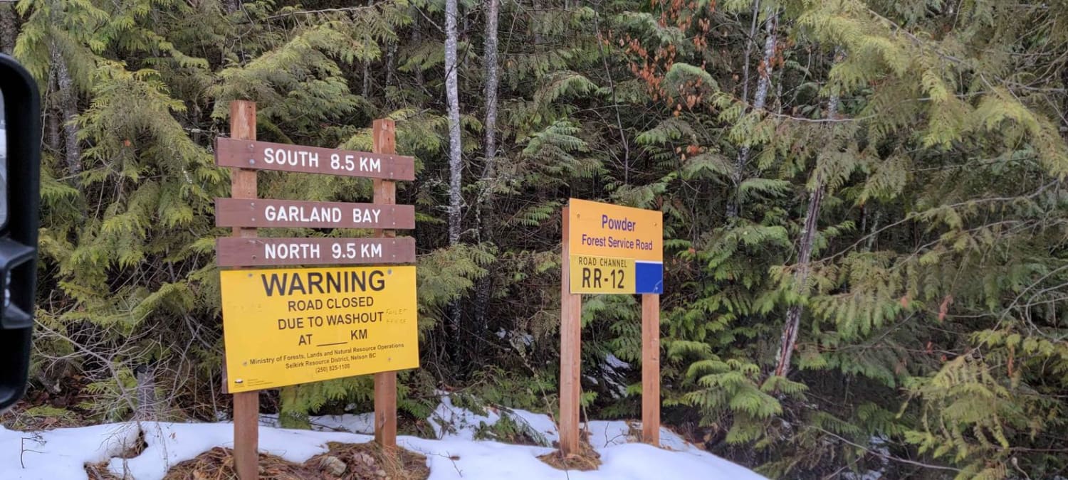
Garland Bay North Rec Site
The onX Offroad Difference
onX Offroad combines trail photos, descriptions, difficulty ratings, width restrictions, seasonality, and more in a user-friendly interface. Available on all devices, with offline access and full compatibility with CarPlay and Android Auto. Discover what you’re missing today!
