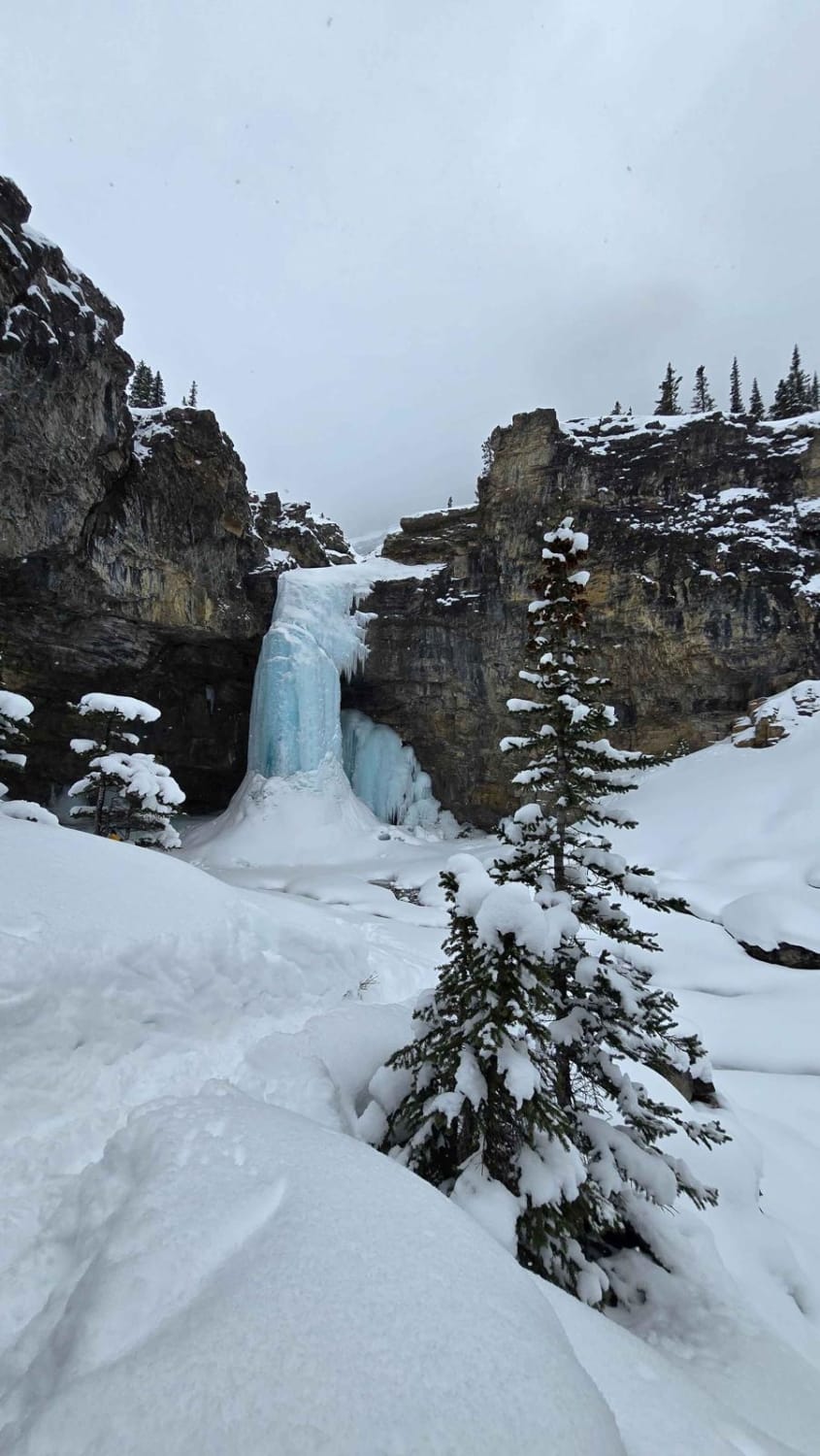
Ruby Falls
Total Kilometers
20.0
Technical Rating
Best Time
Summer
Trail Type
Full-Width Road
Accessible By
Trail Overview
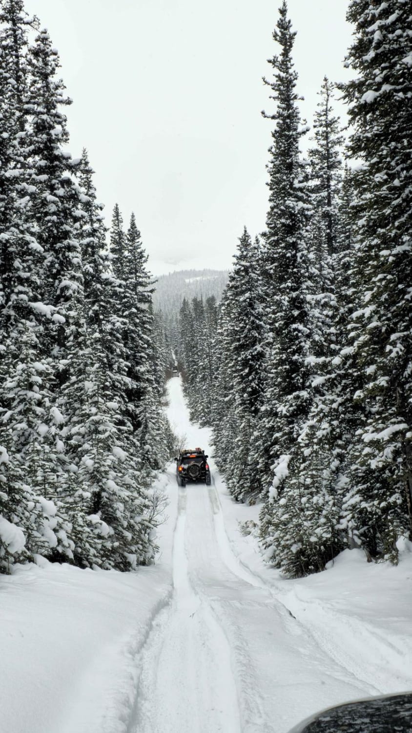
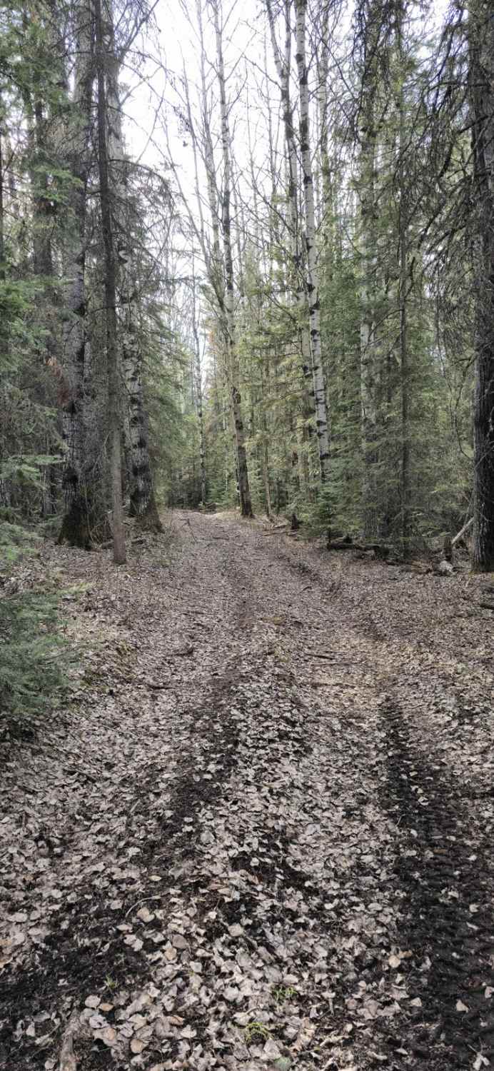
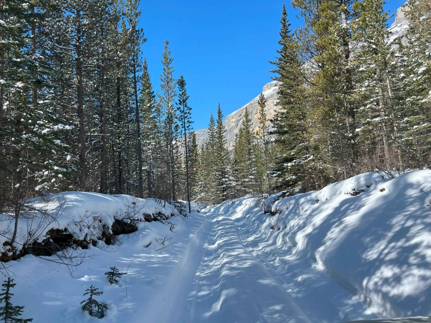
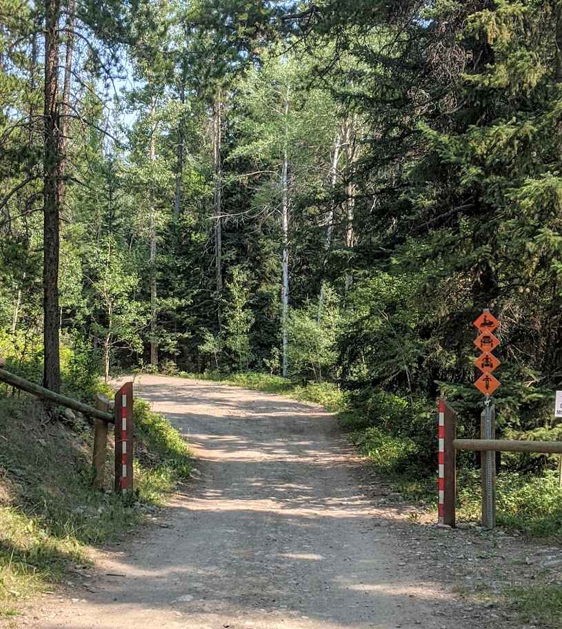
This is an in-and-out type trail to waterfalls. If you go during winter months, they will be frozen. You'll cross a few water crossings and some mud holes along the route, and a couple of hill climbs as well. You can camp along the way or at the end with a short walk to the falls.
Photos of Ruby Falls
Difficulty
This is rated a 6 due to access during the winter, spring, and fall. Winter is the most challenging time to enter this trail due to deep snow and ice bridges. Deep and fast-moving water crossings are expected in spring and fall, with potentially deep mud crossings and slick hills. The summer rating for this trail would be a 3, as the water is low for crossing and most of the trail is dry or just water puddles
Status Reports
Ruby Falls can be accessed by the following ride types:
- High-Clearance 4x4
- SUV
- SxS (60")
- ATV (50")
- Dirt Bike
Ruby Falls Map
Popular Trails
Gettin' Skinny

Waiparous Valley Road
Seven Sisters Trail
The onX Offroad Difference
onX Offroad combines trail photos, descriptions, difficulty ratings, width restrictions, seasonality, and more in a user-friendly interface. Available on all devices, with offline access and full compatibility with CarPlay and Android Auto. Discover what you’re missing today!