McLean Creek Trail
Total Kilometers
22.8
Technical Rating
Best Time
Summer
Trail Type
Full-Width Road
Accessible By
Trail Overview
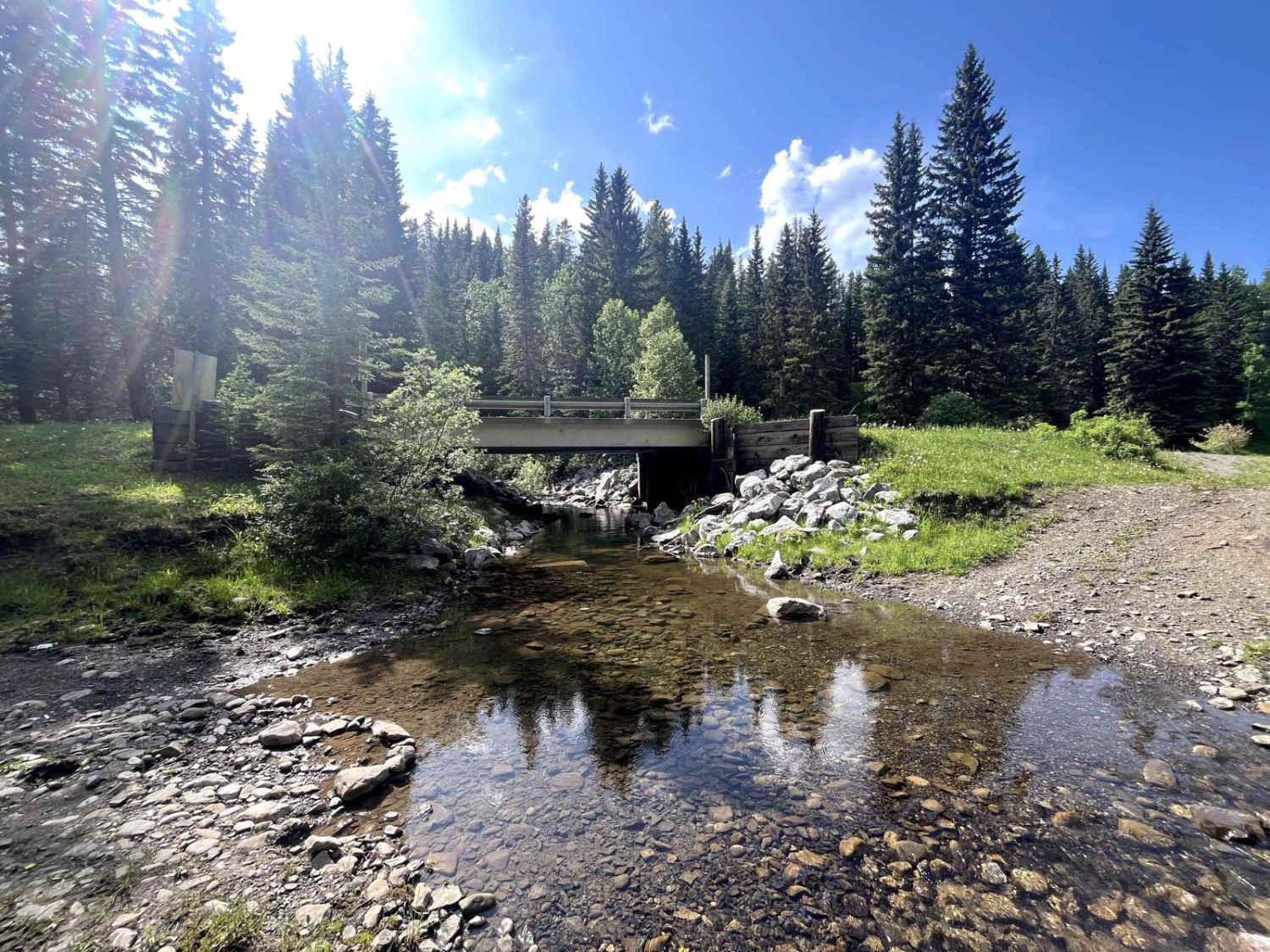
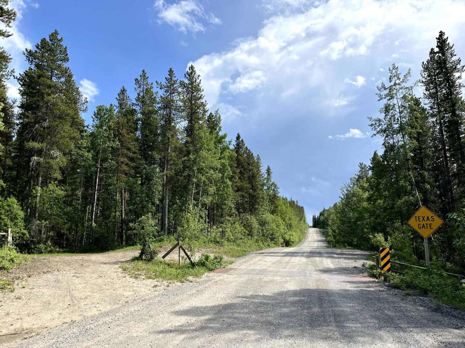
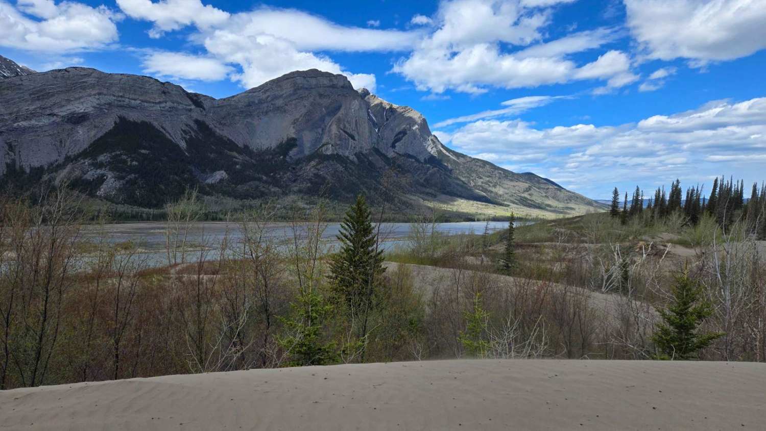
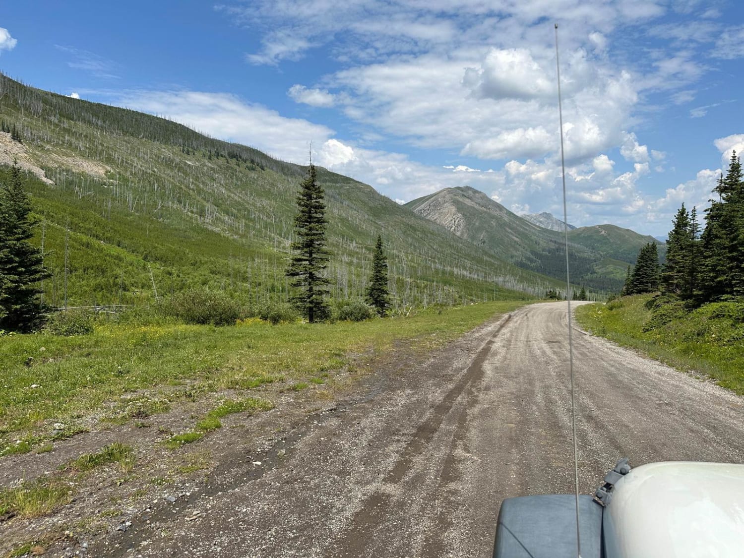
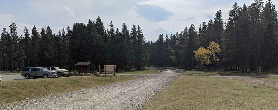
McLean Creek Trail is a well-traveled gravel road branching off Highway 66 west of Bragg Creek, Alberta. The route is wide enough for full-size trucks and trailers, with a packed gravel surface that can become dusty and washboarded during dry spells. Expect occasional potholes and loose rock, especially near trailheads and campground entrances. The road meanders through mixed pine and spruce forest, with occasional clearings offering views of the surrounding foothills. While suitable for most vehicles in fair weather, drivers should exercise caution after heavy rain, as sections can become muddy, rutted, and slick. There's no cellphone coverage in the area -- offline maps and a radio or satellite communicator are recommended for remote travel. McLean Creek PLUZ (Public Land Use Zone) is one of Alberta's most popular crown land areas for 4x4, OHV, and backcountry camping adventures. The zone offers a wide range of off-road trails, from beginner-friendly routes to challenging terrain that requires high-clearance vehicles, recovery gear, and off-road driving experience.
Photos of McLean Creek Trail
Difficulty
This trail is two vehicle wide and 2WD friendly.
Status Reports
McLean Creek Trail can be accessed by the following ride types:
- High-Clearance 4x4
- SUV
McLean Creek Trail Map
Popular Trails
Brule Lake Trail
Allison Creek Road
The onX Offroad Difference
onX Offroad combines trail photos, descriptions, difficulty ratings, width restrictions, seasonality, and more in a user-friendly interface. Available on all devices, with offline access and full compatibility with CarPlay and Android Auto. Discover what you’re missing today!