Trail Creek Road - FS 56729
Total Miles
13.7
Technical Rating
Best Time
Spring, Summer, Fall
Trail Type
Full-Width Road
Accessible By
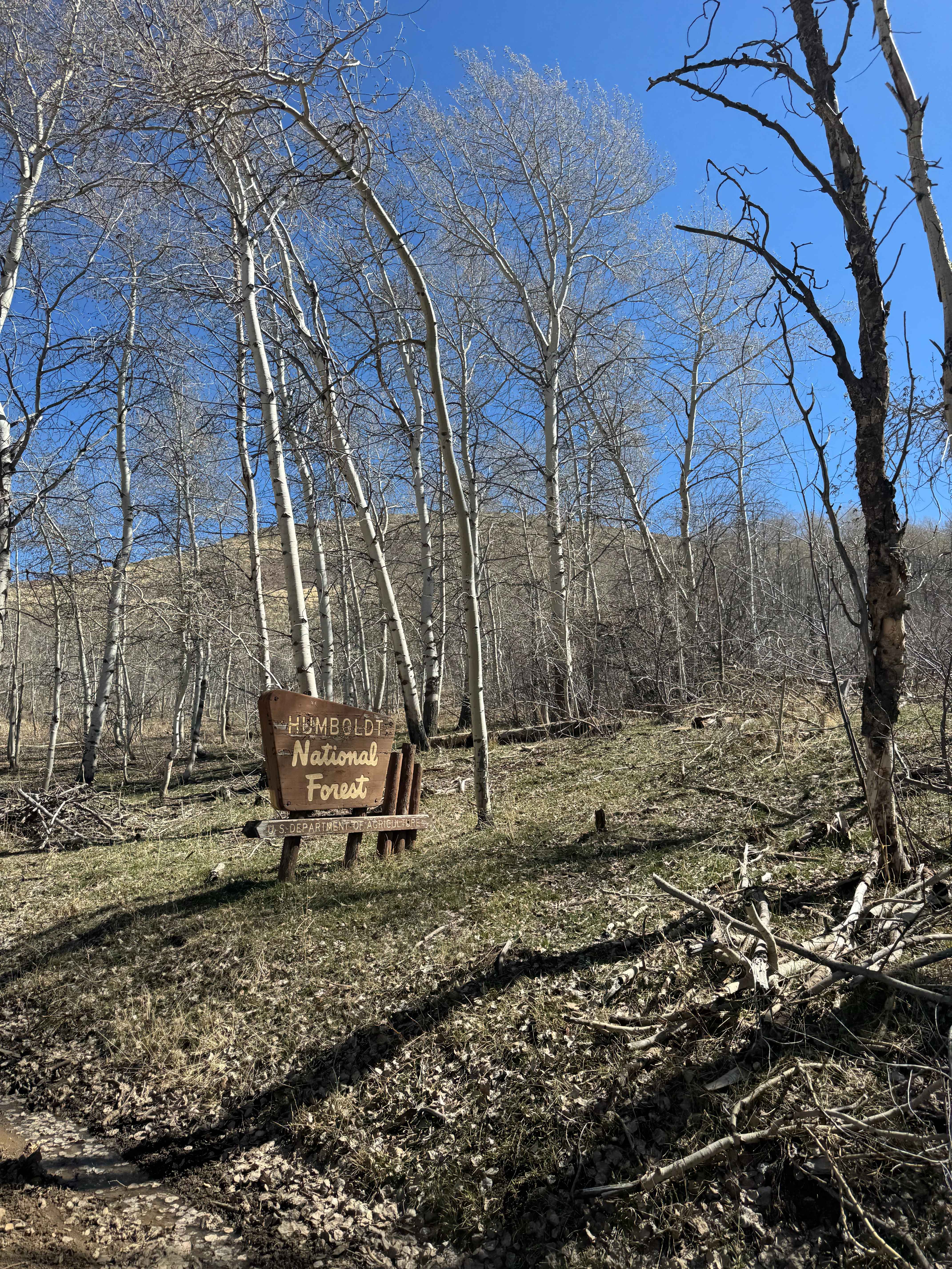
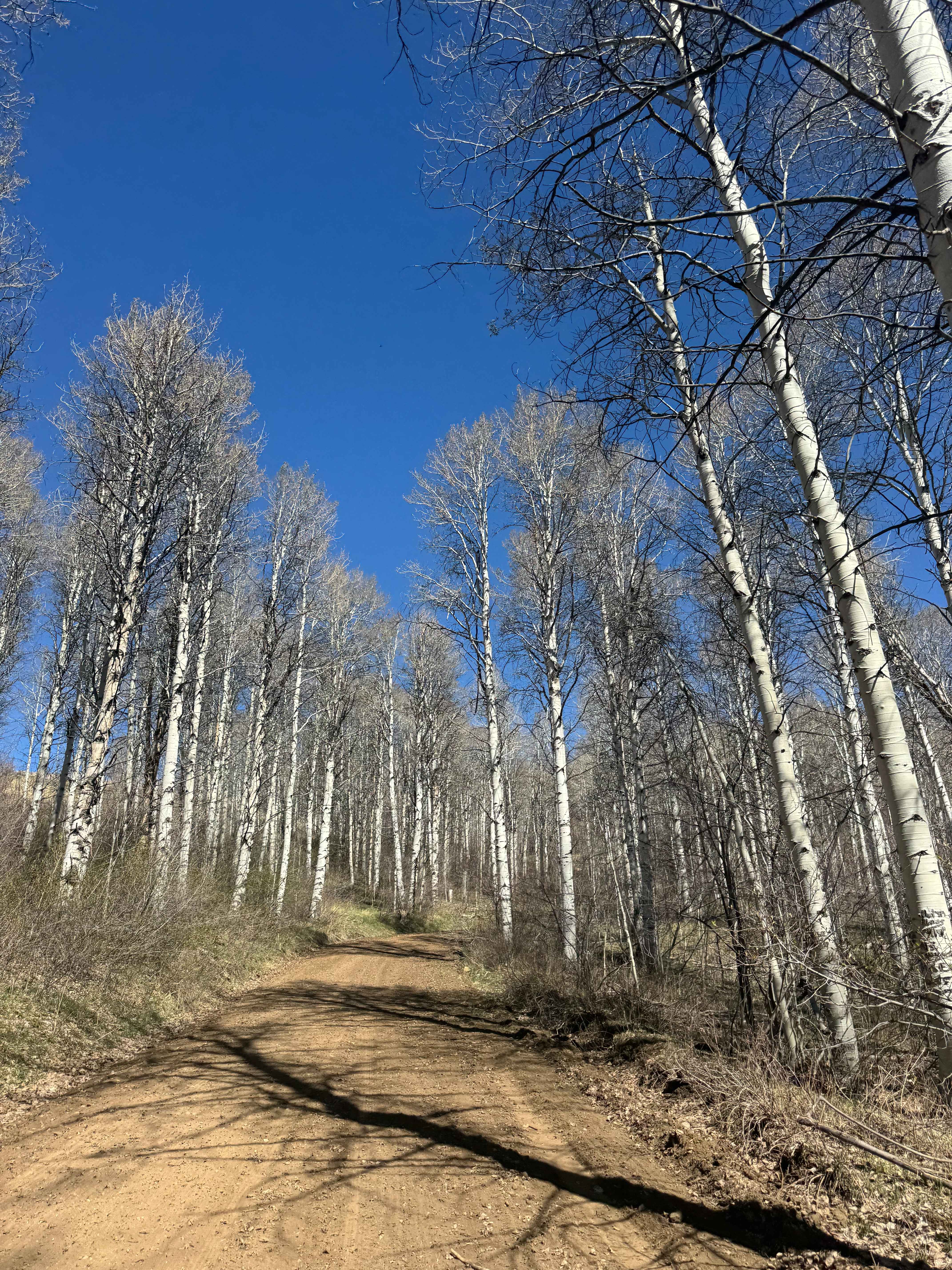
Trail Overview
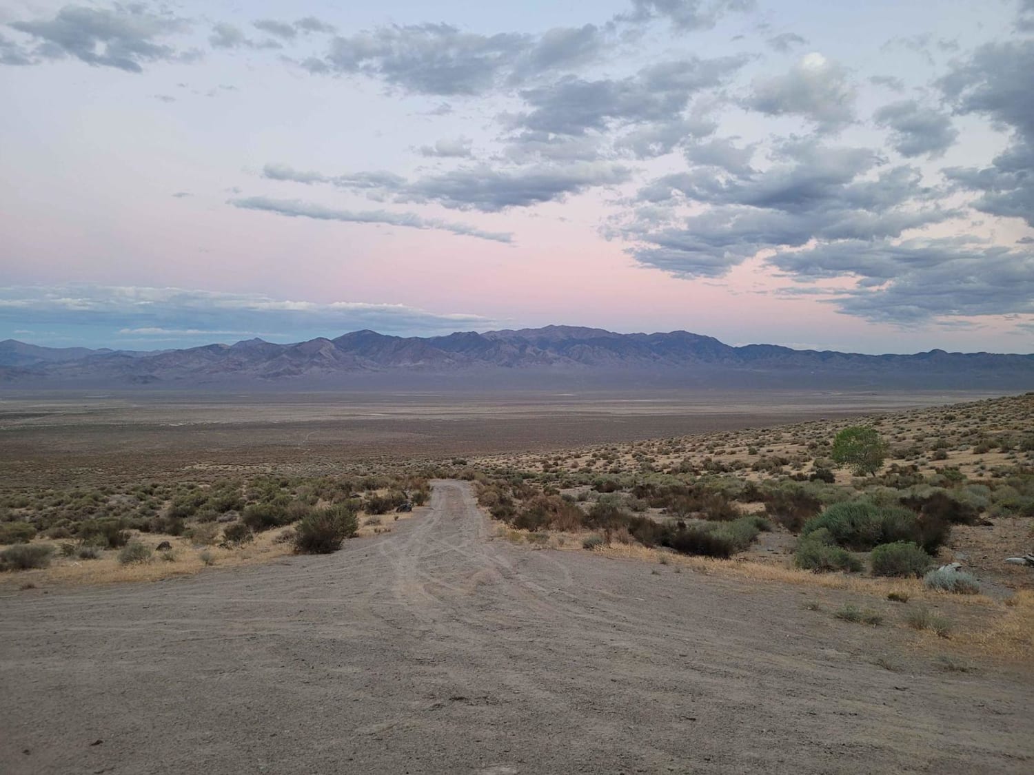
This is a sandy, forest road through the Humboldt National Forest in the northern region that connects Maggie's Summit Road at Highway 226 to Highway 225 on the opposite side of the Bull Run Mountain Range. This road is maintained and climbs through the length of the Bull Run Mountains. It begins in a beautiful wooded forest, then opens up as it climbs and becomes a shelf road briefly. There are minor ruts and washes, but any vehicle should be able to traverse this road. There are beautiful mountain views, and the Pronghorn Antelope were plentiful. There are plentiful trails and offshoots of this trail, and this would be a great place to explore on Powersport vehicles. Once you make it through the mountain range, you exit the National Forest and pass private land and ranches. Cell phone service was nonexistent along most of this trail until you get closer to Highway 225. The nearest services are 80 miles south in Elko, Nevada, or 20 to 30 miles north in Owyhee, Nevada.
Photos of Trail Creek Road - FS 56729
Difficulty
This trail follows a sandy forest road with a short section along a shelf road, where minor ruts and washouts may be present. Most vehicles can travel this route under normal conditions.
Status Reports
Trail Creek Road - FS 56729 can be accessed by the following ride types:
- High-Clearance 4x4
- SUV
- SxS (60")
- ATV (50")
- Dirt Bike
Trail Creek Road - FS 56729 Map
Popular Trails

Lake Mead - Part 3
Carp Road-Lyman Crossing to Elgin
Congress Mine
Boyer Ranch
The onX Offroad Difference
onX Offroad combines trail photos, descriptions, difficulty ratings, width restrictions, seasonality, and more in a user-friendly interface. Available on all devices, with offline access and full compatibility with CarPlay and Android Auto. Discover what you’re missing today!