Osceola Spruce Knob
Total Miles
27.4
Technical Rating
Best Time
Spring, Summer, Fall, Winter
Trail Type
Full-Width Road
Accessible By
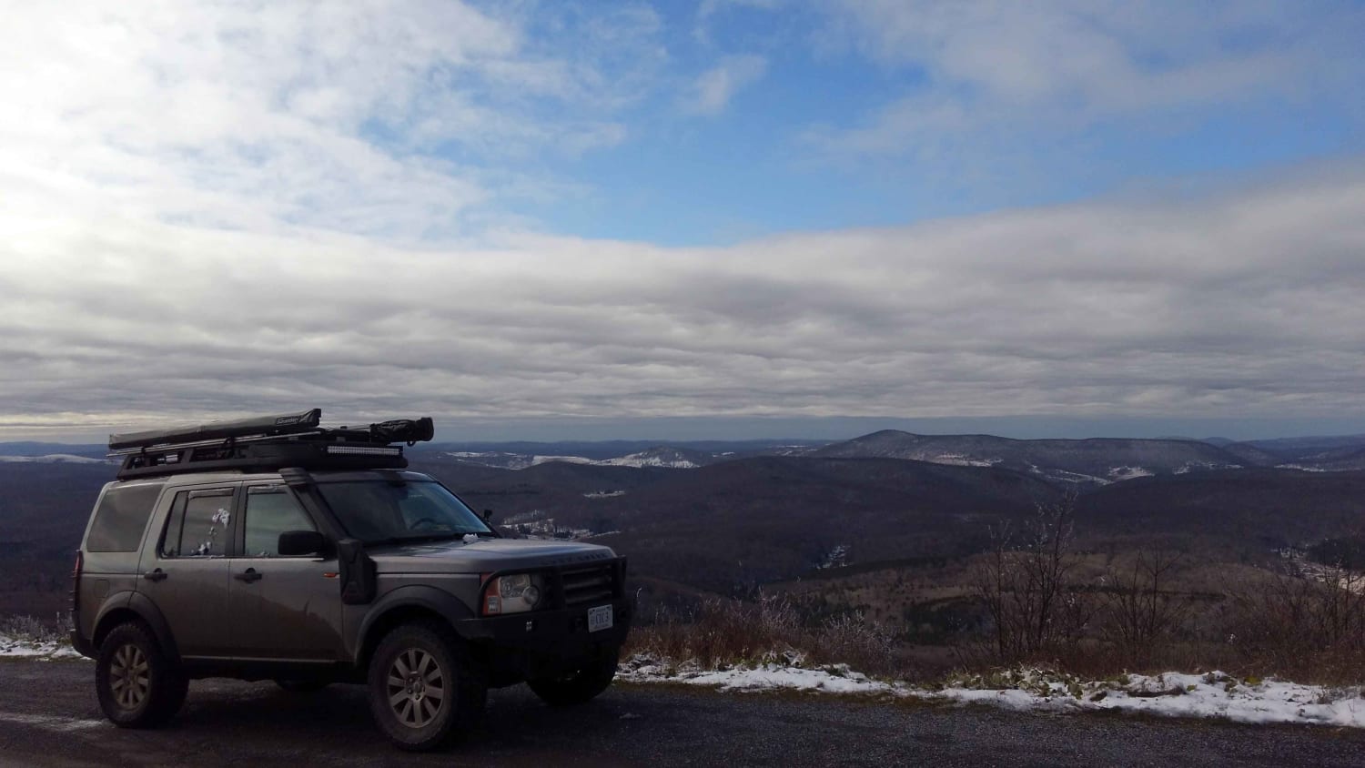
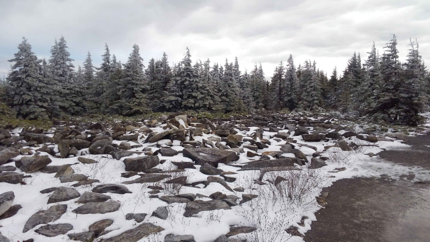
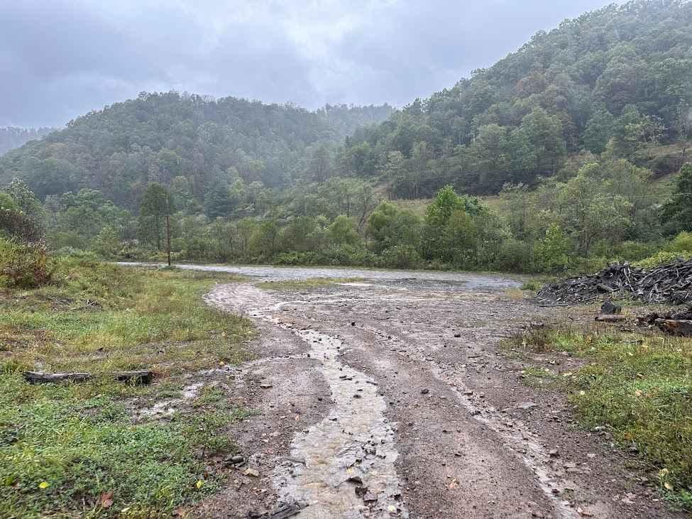
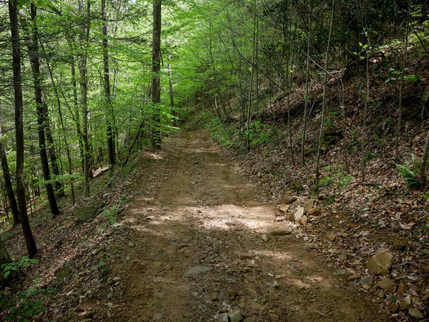
Trail Overview
The route travels primarily through Monongahela National Forest on maintained Forest Service gravel roads. A section of the route passes through private land and rolling farmland on gravel road. The ascent from the FSR to the summit at Spruce Knob is fully paved. Spruce Knob is the highest point in West Virginia with 360-degree expansive views. The route passes by two NF camping areas and several dispersed sites can also be found. Spruce Knob Lake offers fishing and kayaking opportunities. Numerous hiking trailheads are located along the route. There's very little cell service anywhere along the route.
Photos of Osceola Spruce Knob
Difficulty
This route contains maintained gravel roads with some paved FS roads.
History
This is the highest point in West Virginia.
Status Reports
Osceola Spruce Knob can be accessed by the following ride types:
- High-Clearance 4x4
- SUV
Osceola Spruce Knob Map
Popular Trails
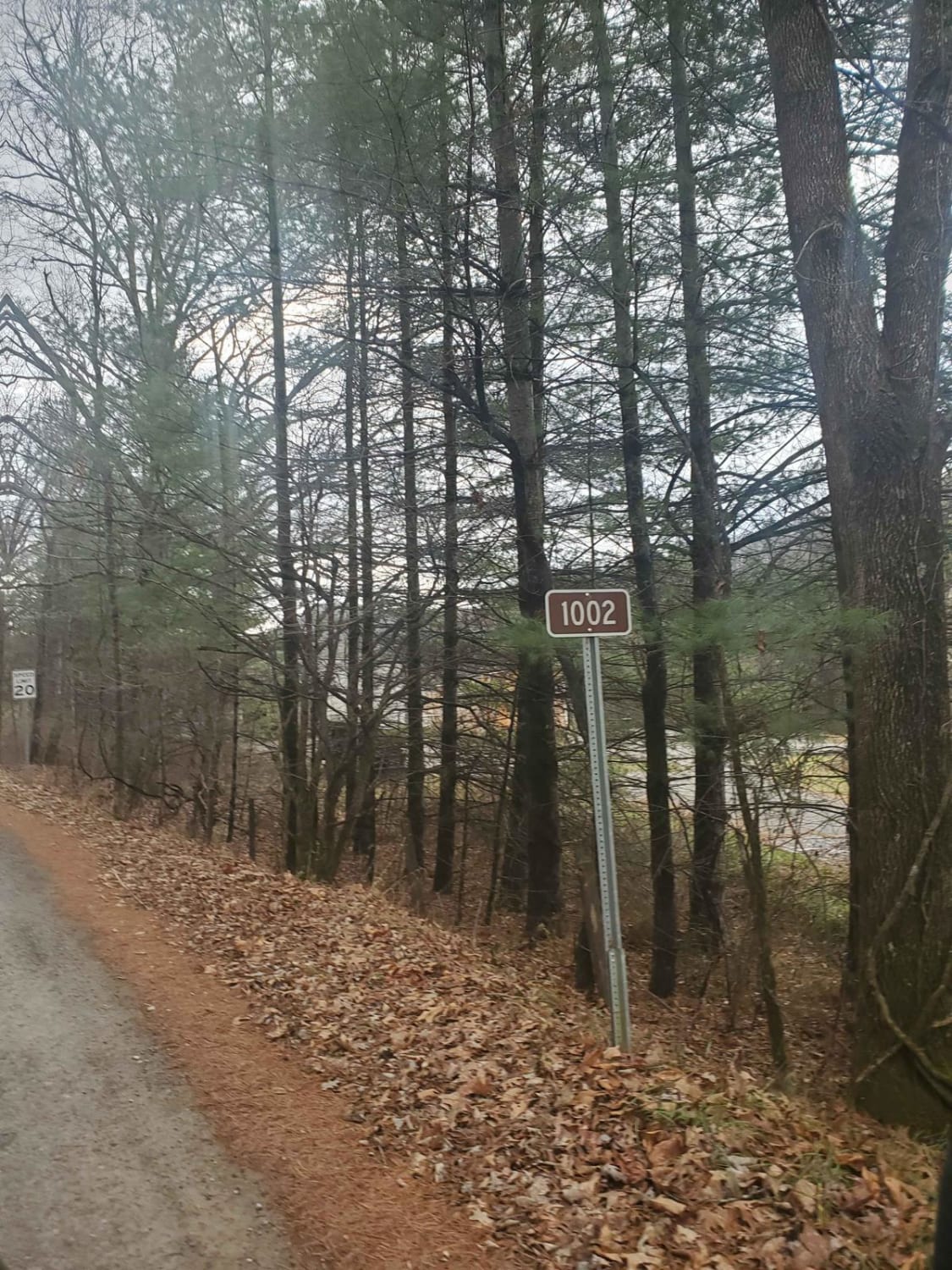
Monday Lick Rd (FS1002)

The onX Offroad Difference
onX Offroad combines trail photos, descriptions, difficulty ratings, width restrictions, seasonality, and more in a user-friendly interface. Available on all devices, with offline access and full compatibility with CarPlay and Android Auto. Discover what you’re missing today!