FS 556A
Total Miles
0.9
Technical Rating
Best Time
Spring, Summer, Fall, Winter
Trail Type
Full-Width Road
Accessible By
Trail Overview
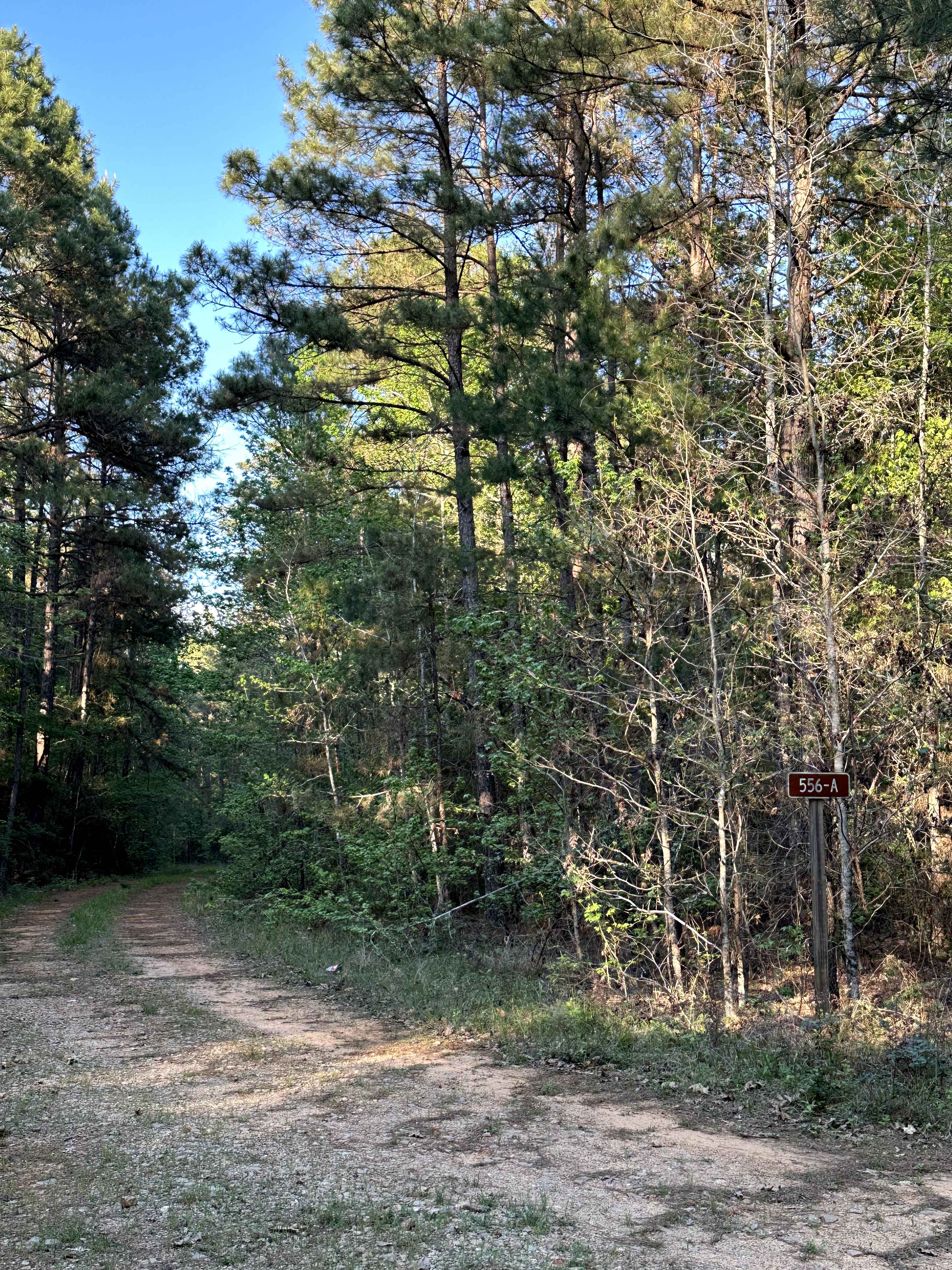
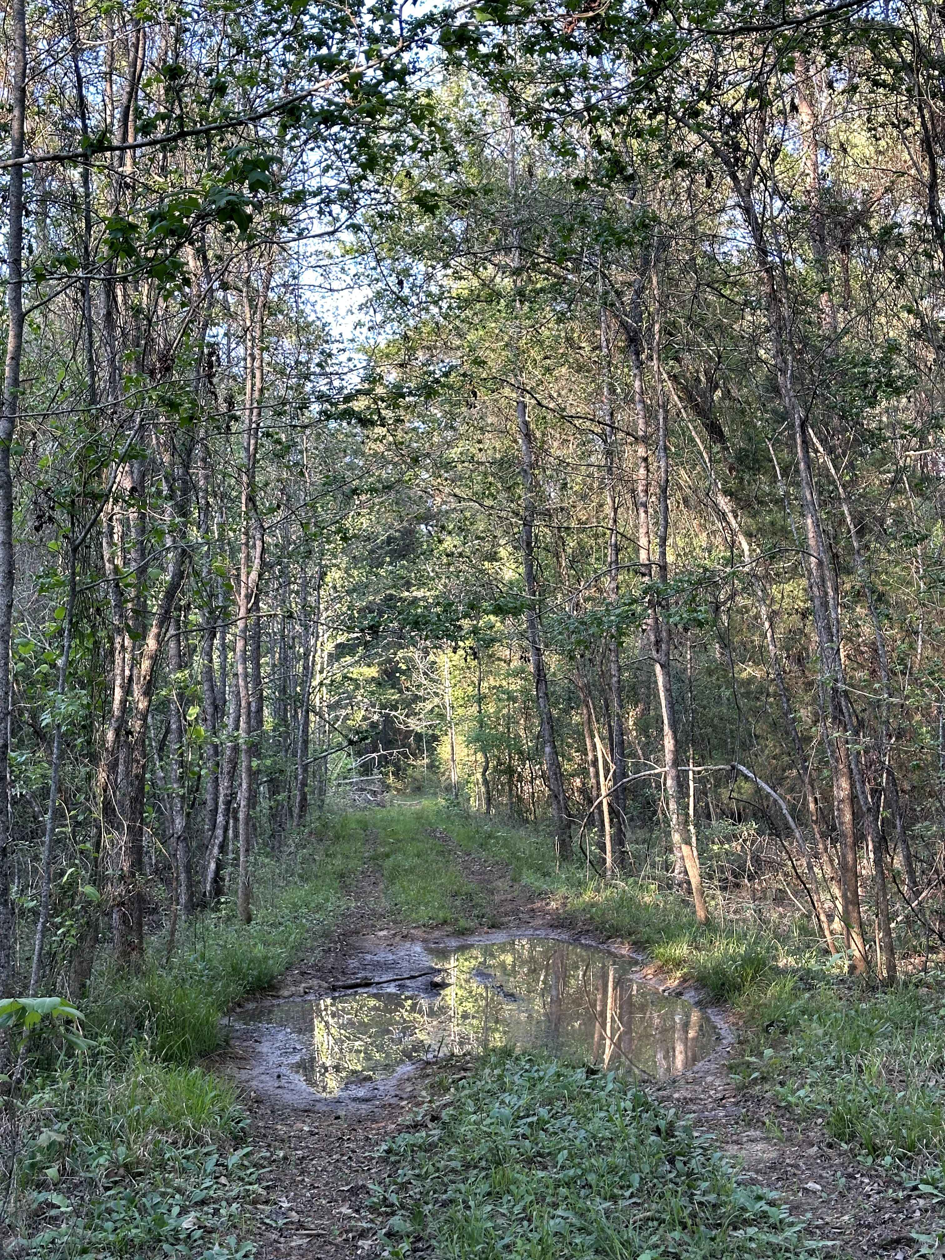
FS 556A is a tight, overgrown forest road that cuts through the piney woods of Davy Crockett National Forest. The trail is narrow with vegetation encroaching on both sides, making for a more enclosed drive with branches brushing along the vehicle. The surface is primarily dirt with multiple muddy sections, and there is a small clearing along the route that can be used as a basic campsite.
Photos of FS 556A
Difficulty
On this trail, you'll find a narrow, overgrown path with low-hanging branches, downed limbs, and multiple mud holes that can hold water and become slick. The tight spacing and vegetation can limit visibility and increase the chance of pinstriping. Muddy sections may require careful tire placement and consistent traction, especially after rain. There are no major obstacles, but the combination of overgrowth, debris, and mud makes this trail feel more demanding. Overall, this trail ranges from easy to moderate, depending on conditions.
Status Reports
FS 556A can be accessed by the following ride types:
- High-Clearance 4x4
- SUV
FS 556A Map
Popular Trails
BBRSP Cat Spring Road

Short Blast

Highway 101 - V7

The onX Offroad Difference
onX Offroad combines trail photos, descriptions, difficulty ratings, width restrictions, seasonality, and more in a user-friendly interface. Available on all devices, with offline access and full compatibility with CarPlay and Android Auto. Discover what you’re missing today!