Crooked Creek Road
Total Miles
15.4
Technical Rating
Best Time
Spring, Summer, Fall
Trail Type
Full-Width Road
Accessible By
Trail Overview
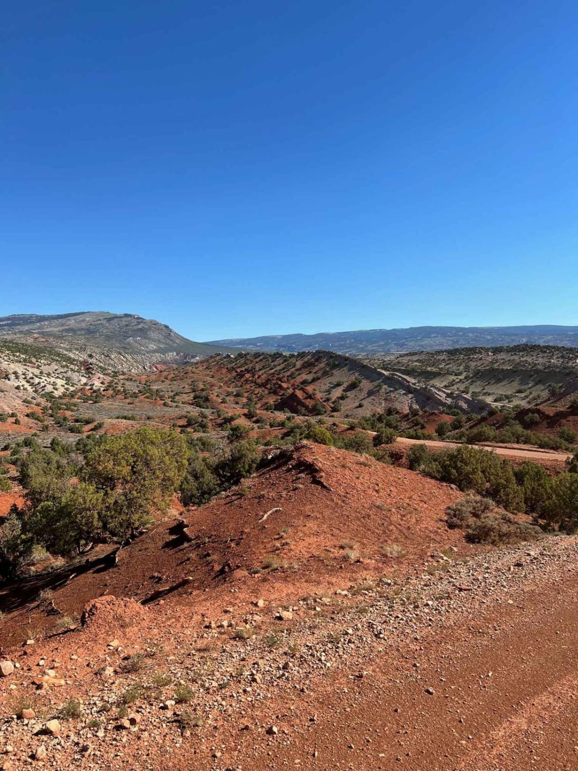
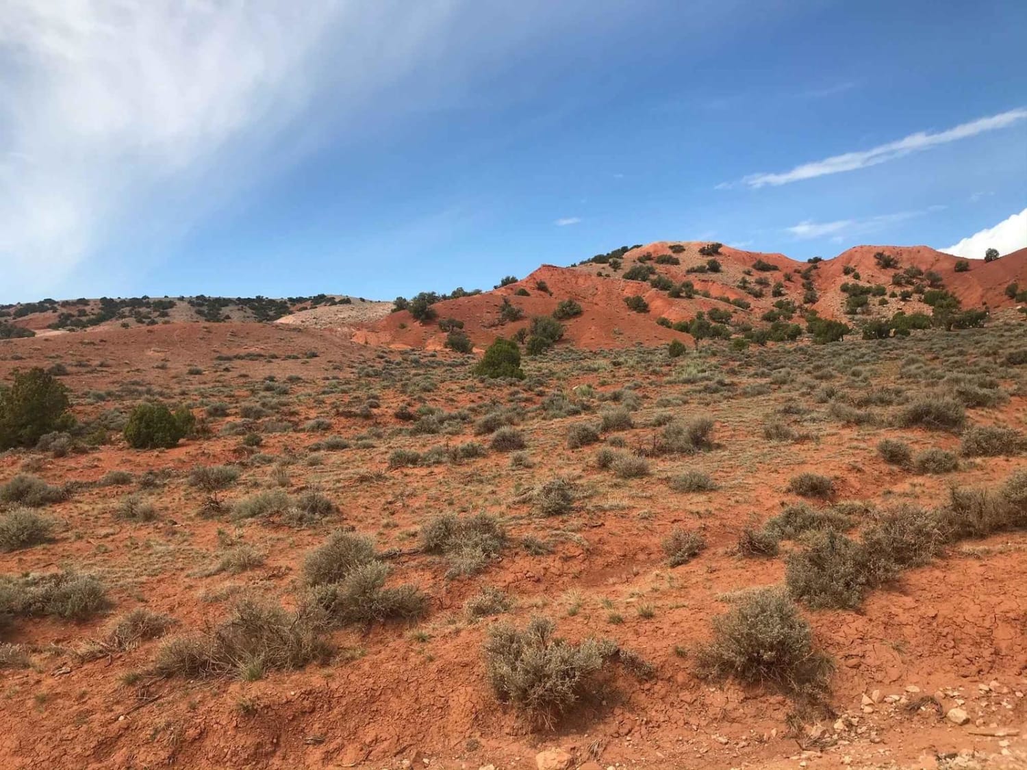
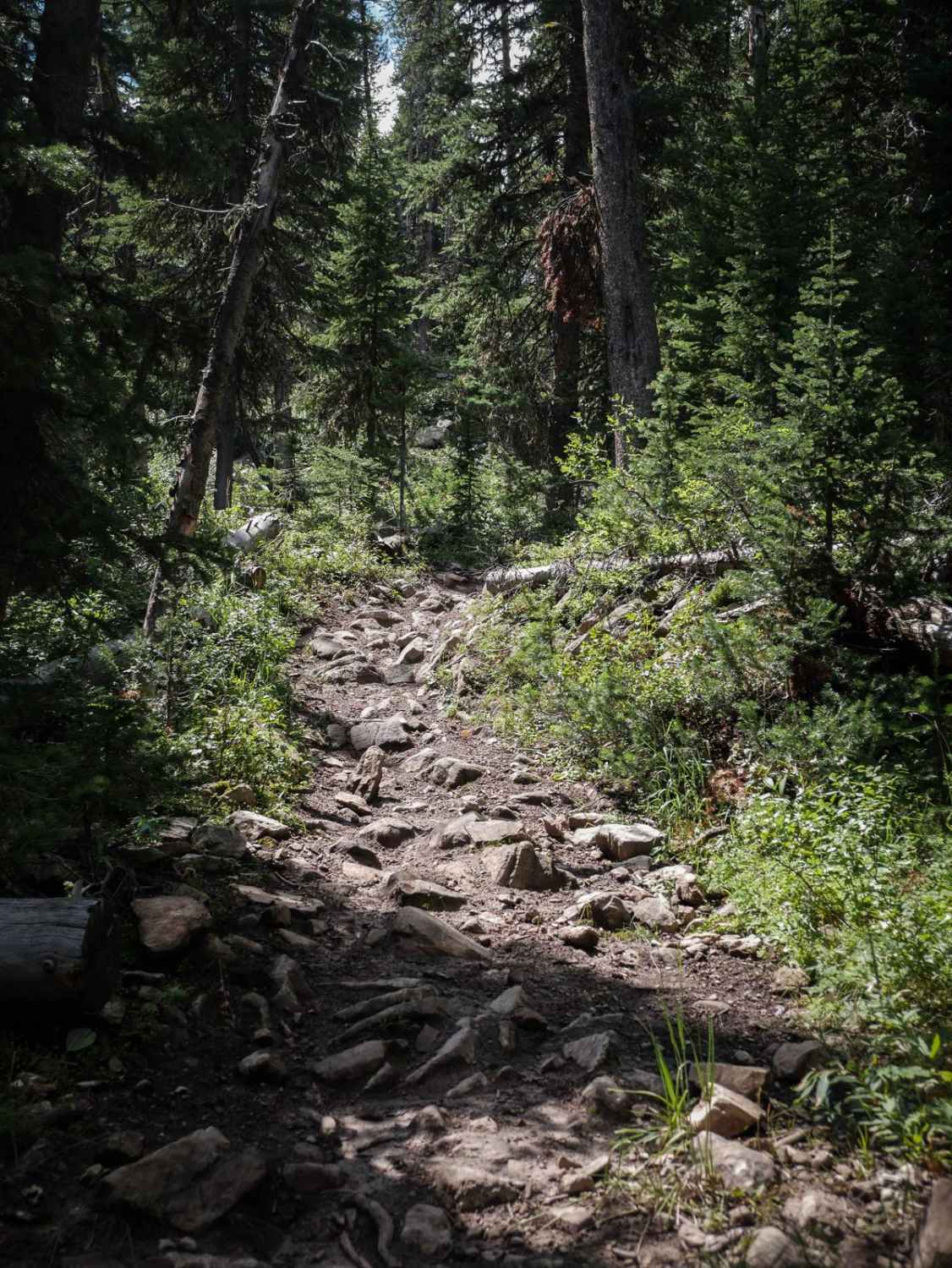
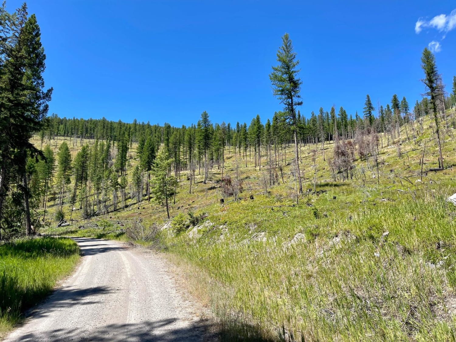
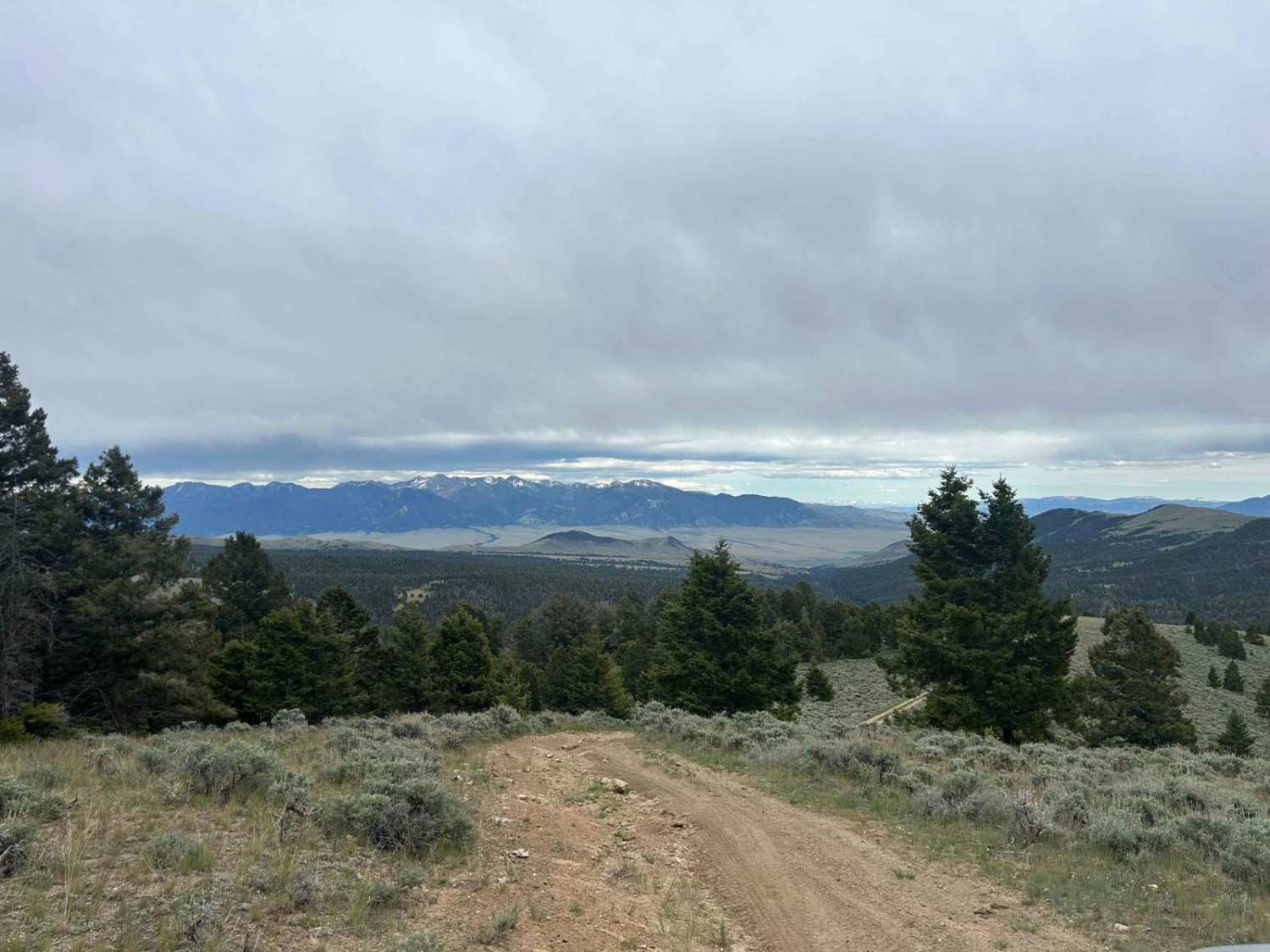
Crooked Creek Road (1017) is one of the many access routes to the top of the Pryor Mountains. Crooked Creek Road is accessed from the south either by Helt Road (1016) Gyp Spring Road (1015) or Pryor Mountain Road (2308) from the north. Traveling south to north, Crooked Creek Road begins on the Bureau of Land Management Land (BLM). Crooked Creek Road is designated as 1017 on BLM land. The road crosses through a few dry creek beds and several fossils can be found within the first six miles. Crooked Creek Road crosses onto U.S. Forest Service land after approximately 6 miles. The road is designated as 2096. The road is well maintained and climbs through burnt timber and pine trees to the top of the Prior Mountains. Dispersed camping is available at the top.
Photos of Crooked Creek Road
Difficulty
Well maintain gravel road. Accessible with a low clearance vehicle.
Status Reports
Crooked Creek Road can be accessed by the following ride types:
- High-Clearance 4x4
- SUV
- SxS (60")
- ATV (50")
- Dirt Bike
Crooked Creek Road Map
Popular Trails

Dead Horse Creek
Wild Bill Saddle
The onX Offroad Difference
onX Offroad combines trail photos, descriptions, difficulty ratings, width restrictions, seasonality, and more in a user-friendly interface. Available on all devices, with offline access and full compatibility with CarPlay and Android Auto. Discover what you’re missing today!