Geyser Pass
Total Miles
38.3
Technical Rating
Best Time
Summer
Trail Type
Full-Width Road
Accessible By
Trail Overview
This beautiful drive is over 10,600 feet above sea level, and there are some fun hiking and biking trails nearby if you want to get to a mountain top. It's simple to make this a loop by going back over La Sal Pass.
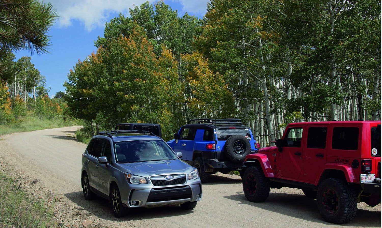
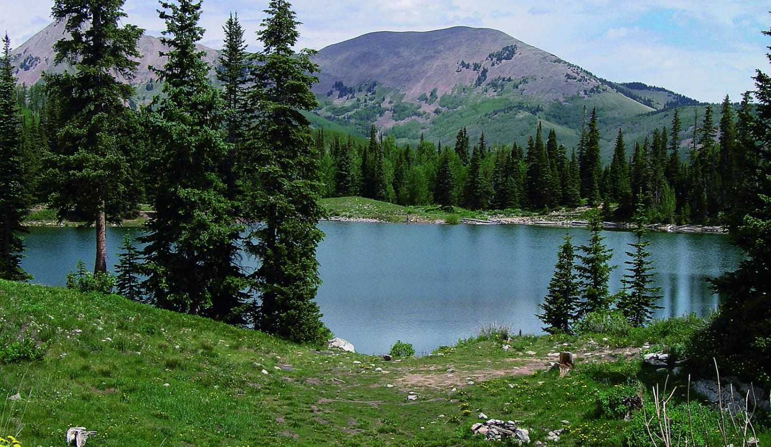
Photos of Geyser Pass
Difficulty
Easy. West side is a wide, smooth gravel road suitable for most passenger cars. East side is a bit rougher but suitable for stock 4x4 SUVs. More difficult when snow and mud linger in the spring. Side roads, like 0243 to Moonlight Meadow, are rougher.
Status Reports
Geyser Pass can be accessed by the following ride types:
- High-Clearance 4x4
- SUV
- SxS (60")
- ATV (50")
- Dirt Bike
Geyser Pass Map
Popular Trails

Seaman Canyon Road

Dairy Hollow ATV Trail
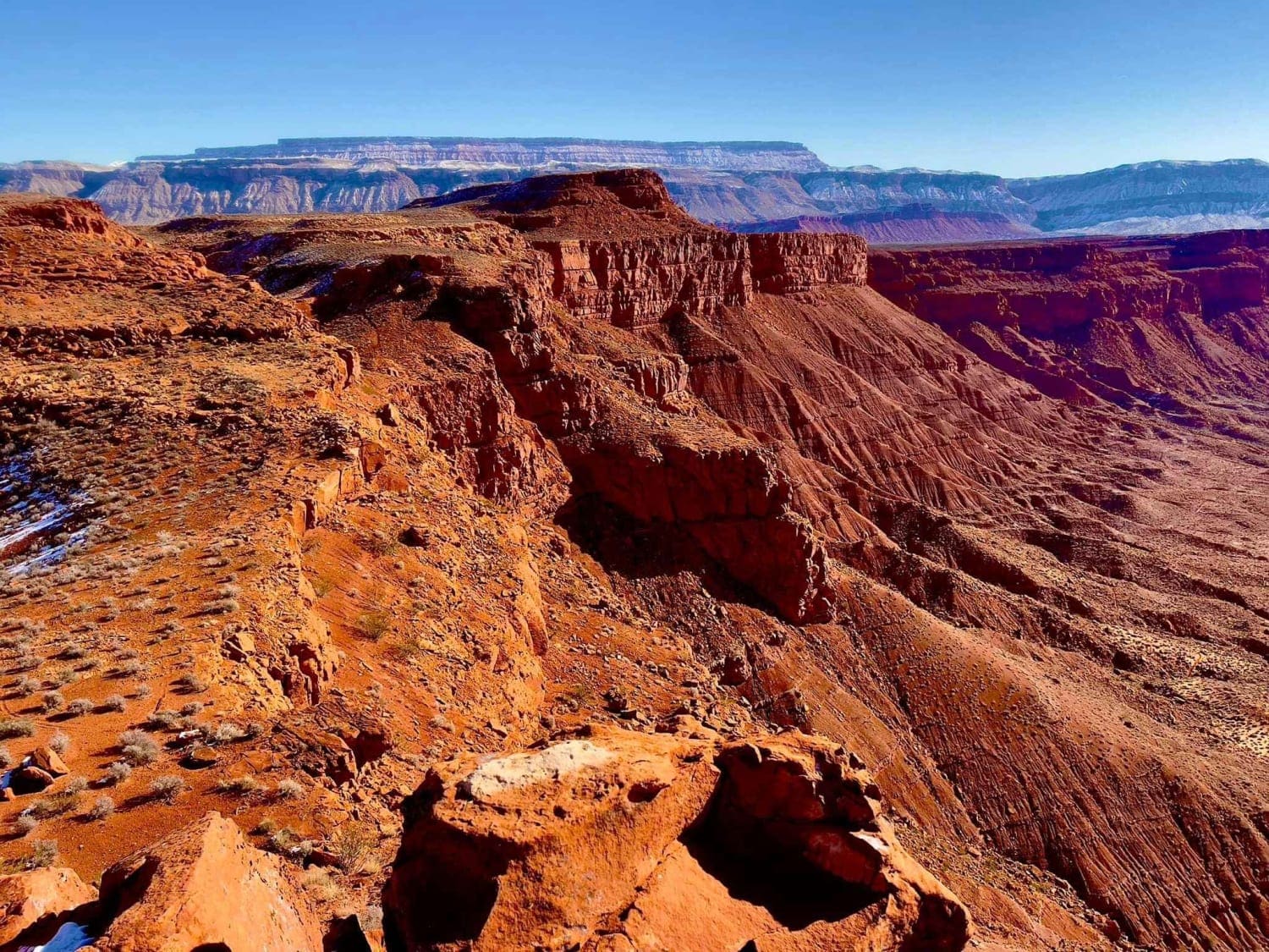
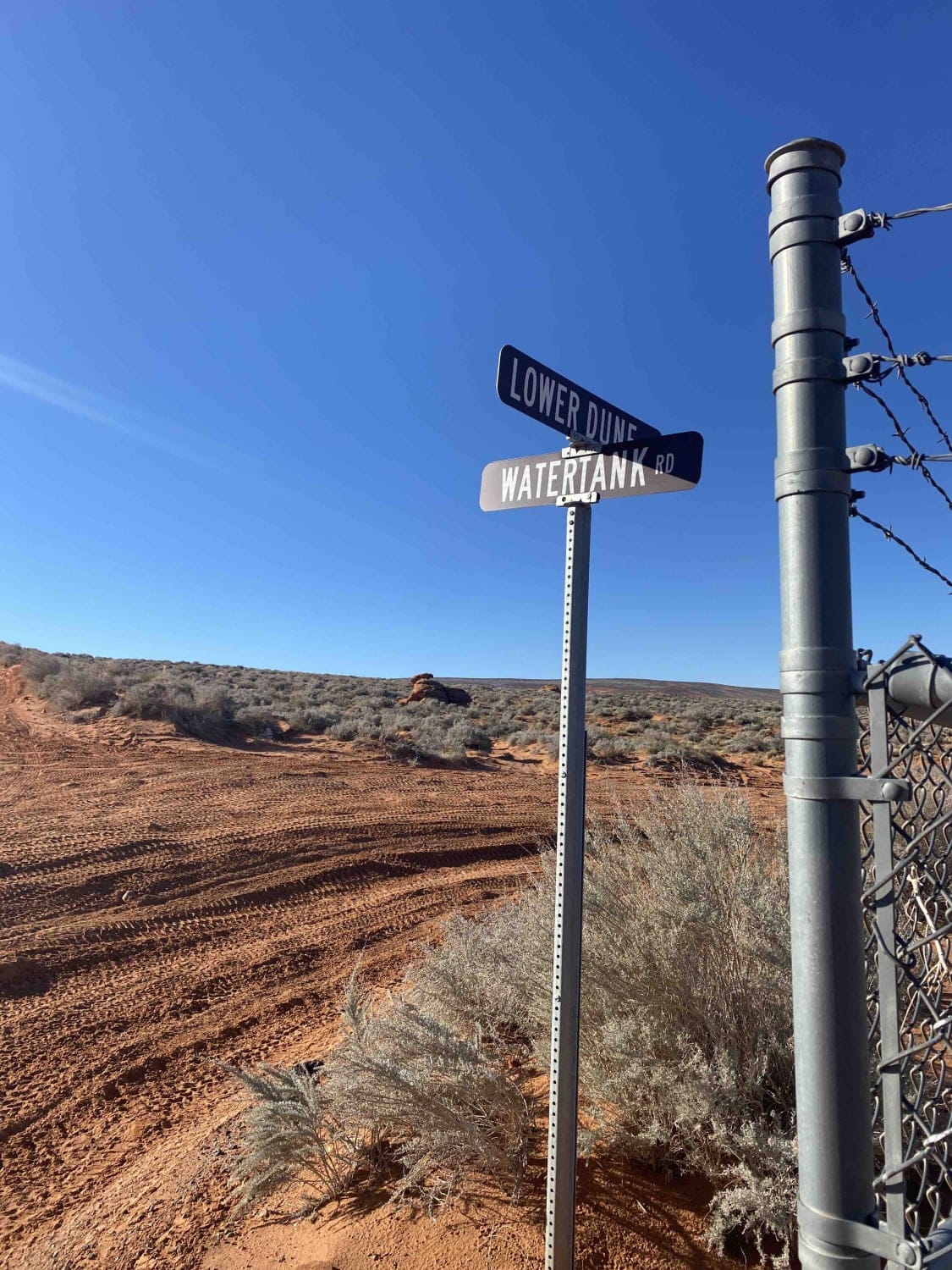
Lower Dunes Road
The onX Offroad Difference
onX Offroad combines trail photos, descriptions, difficulty ratings, width restrictions, seasonality, and more in a user-friendly interface. Available on all devices, with offline access and full compatibility with CarPlay and Android Auto. Discover what you’re missing today!