Kings Crossing
Total Miles
1.7
Technical Rating
Best Time
Spring, Fall
Trail Type
Single Track
Accessible By
Trail Overview
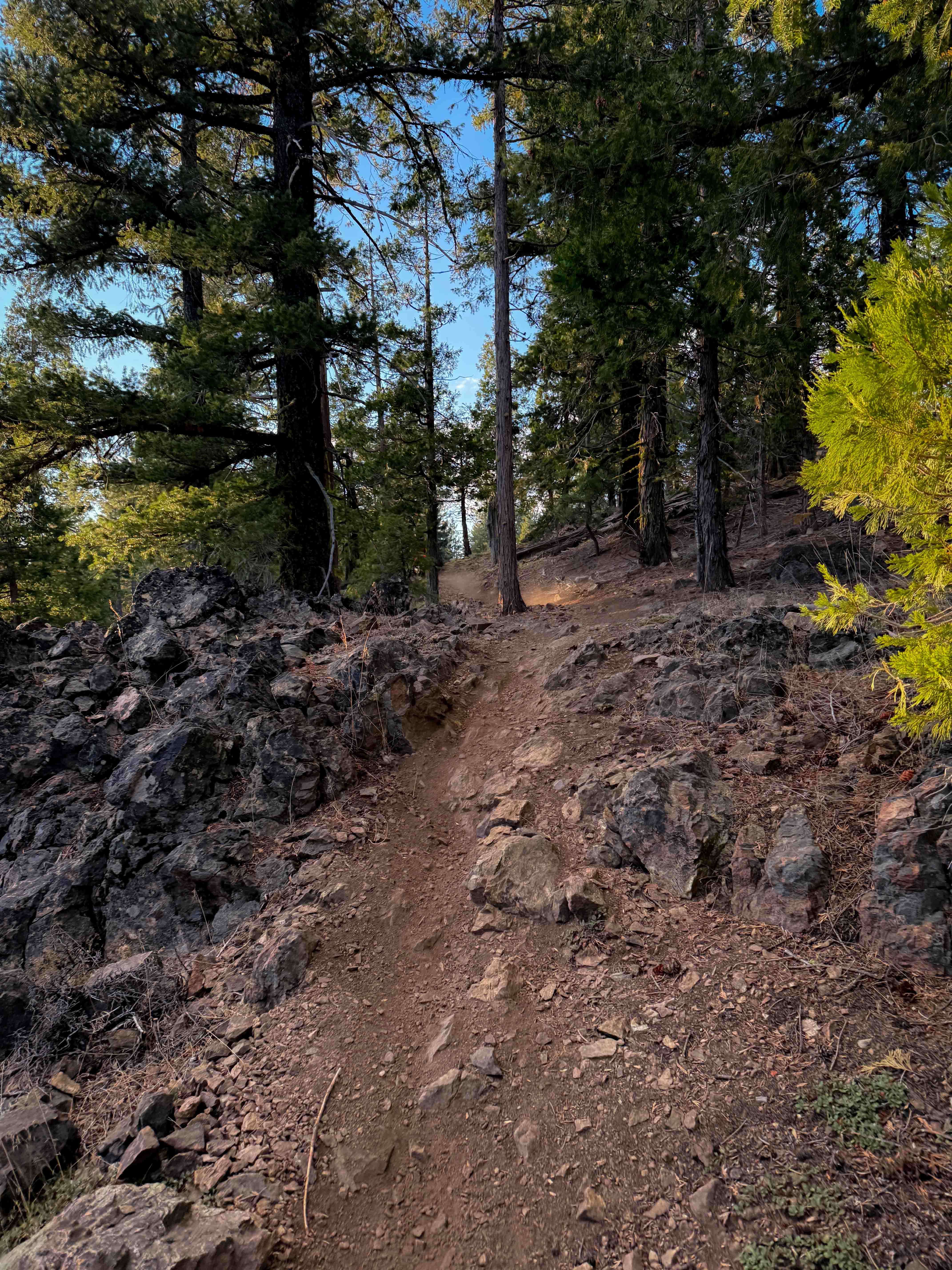
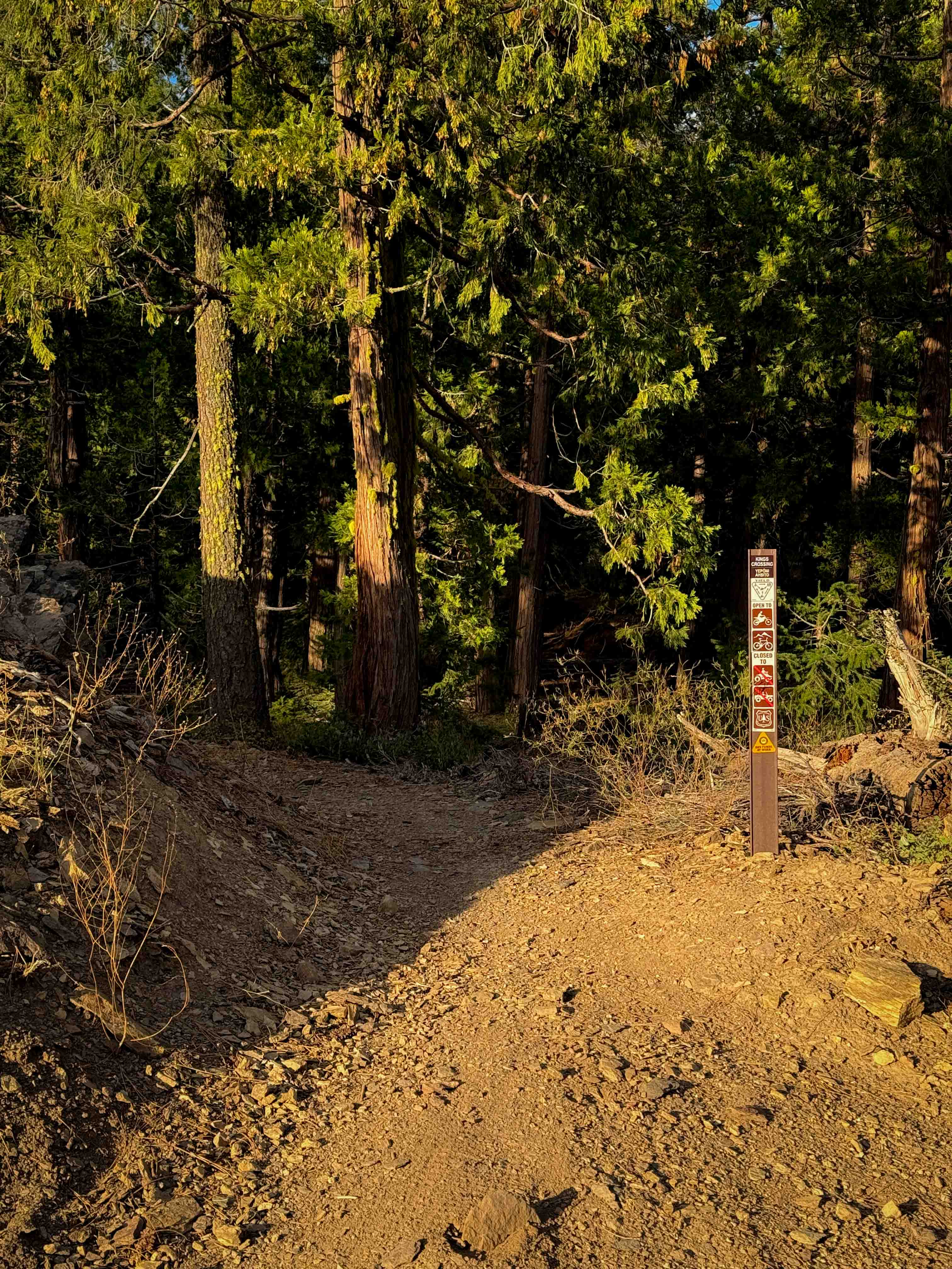
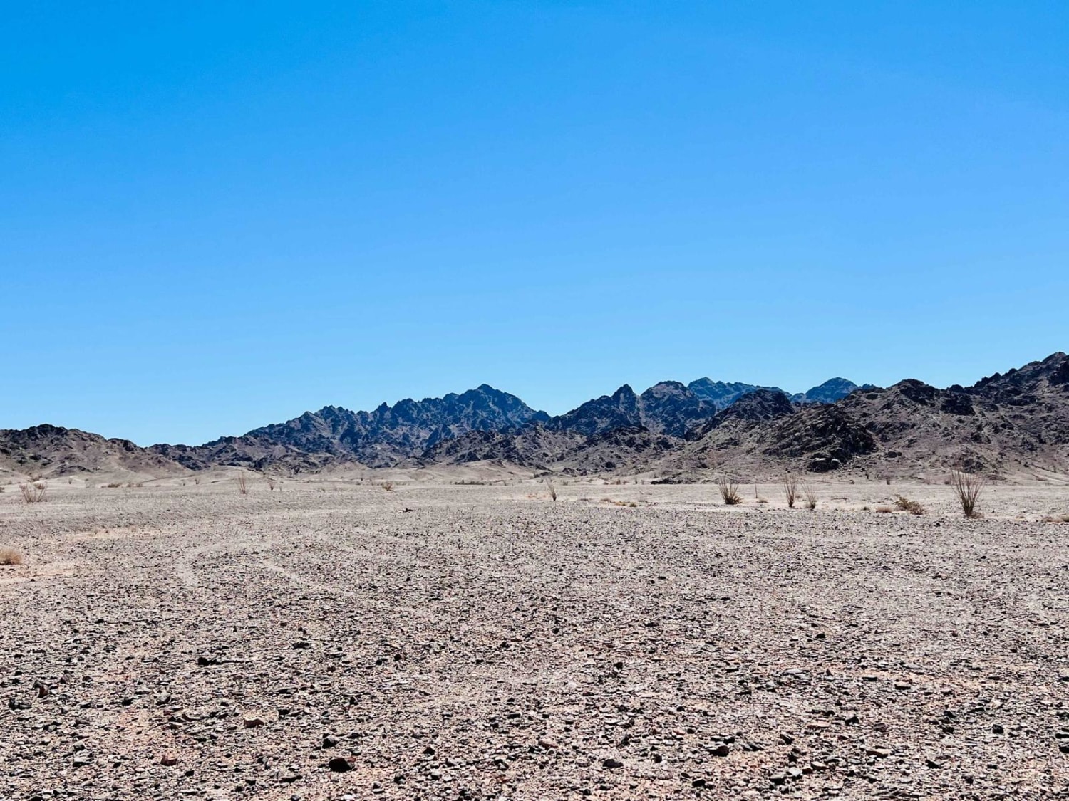
The east end of this easy connector trail starts at the road intersection of 10M25 and 25N10Y, and it goes west to 403. There's a small additional piece of trail that connects to the Mount Hough Trail on the west side of 403. From the east end, it weaves around a rock outcropping, then passes the intersection for QTC, then continues to wind through the dry and sparse forest of pine trees, going up and down the rolling hills. Most of the trail is smooth and flowy, with a few bigger loose rocks, and a couple of sections with more embedded rock layers, creating small ramped rock features that you have to ride through. It remains very gradual and easy for the entire 1.8 miles, though, with no exposure or big ledges.
Photos of Kings Crossing
Difficulty
This is an easy trail as it doesn't have any major obstacles or shelf exposure, and is mostly flowy and smooth. It's ideal for less experienced riders.
Status Reports
Kings Crossing can be accessed by the following ride types:
- Dirt Bike
Kings Crossing Map
Popular Trails

Adobe Basin Loop
Mammoth Mountain Trail 1
The onX Offroad Difference
onX Offroad combines trail photos, descriptions, difficulty ratings, width restrictions, seasonality, and more in a user-friendly interface. Available on all devices, with offline access and full compatibility with CarPlay and Android Auto. Discover what you’re missing today!