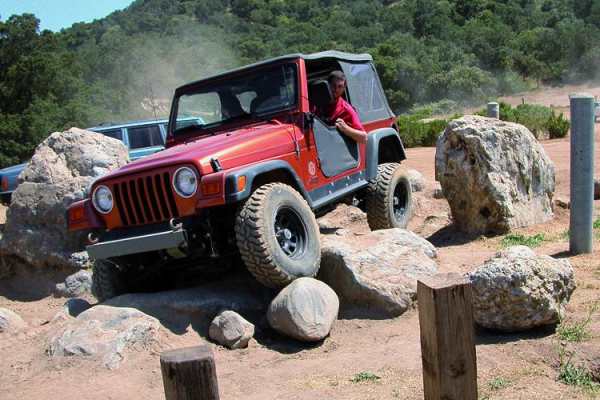
Trail Overview
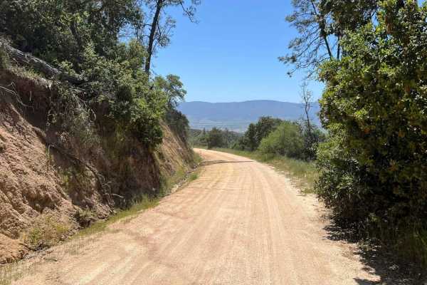
Adobe Basin Loop in Hollister Hills SVRA is a solid choice for intermediate ATV riders and dirt bikers looking for a flowing, well-marked loop with enough variation to stay engaging without becoming overly technical. This one-way, clockwise trail winds through rolling hills on predominantly hard-packed dirt, with intermittent sections of loose soil, embedded rock, and shallow ruts that keep riders attentive. The terrain naturally builds and drops with moderate elevation changes, and while there are no extreme obstacles, off-camber turns and mild erosion features can challenge traction, especially at speed. Located within the SVRA’s designated motorcycle and ATV zone, the trail is not suited for full-size 4x4 vehicles. Expect steady traffic flow with a mix of rider experience levels.
Conditions on Adobe can shift significantly with weather, as the clay-heavy soil becomes slick and deeply rutted after rain, sometimes prompting temporary closures to prevent damage to the trail system. During dry periods, dust can hang in the air and reduce visibility, particularly on busier weekends, making spacing and awareness critical. Intersections and merges along the loop require attention due to the one-way design and varying rider speeds, and braking zones can develop loose buildup over time. The surrounding landscape offers open views of the grassy hills typical of the Hollister area, with a network of connecting trails nearby for those looking to extend their ride.
Access Description
The park is open from sunrise to sunset, and users must purchase a day pass. OHV Annual Passes, Distinguished Veteran Passes, and Disabled Discount Passes are accepted.