Trail Overview
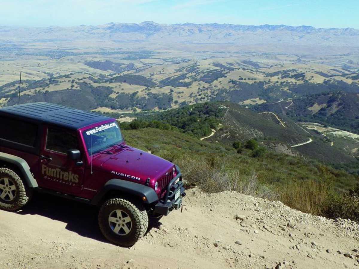
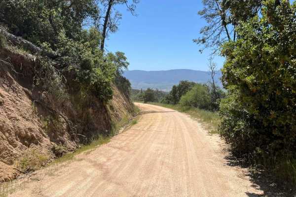
This short but essential 0.6-mile connector trail provides 4x4 drivers with direct access from Cienega Road into the heart of Hollister Hills State Vehicular Recreation Area's famous Upper Ranch. It serves as a primary gateway to a premier off-road playground, taking vehicles from the park's eastern boundary toward the main obstacle courses, hill climbs, and staging areas. Climbing gently from 962 feet to 1,147 feet with an elevation gain of 201 feet, the route transitions from paved road access into the hard-packed dirt typical of the park's lower sections. While this specific connector is a straightforward drive, it immediately leads to highly technical routes in the Upper Ranch, including the steep, loose-rock climbs of Fremontia Road and the axle-twisting ruts of the Tank Trap.
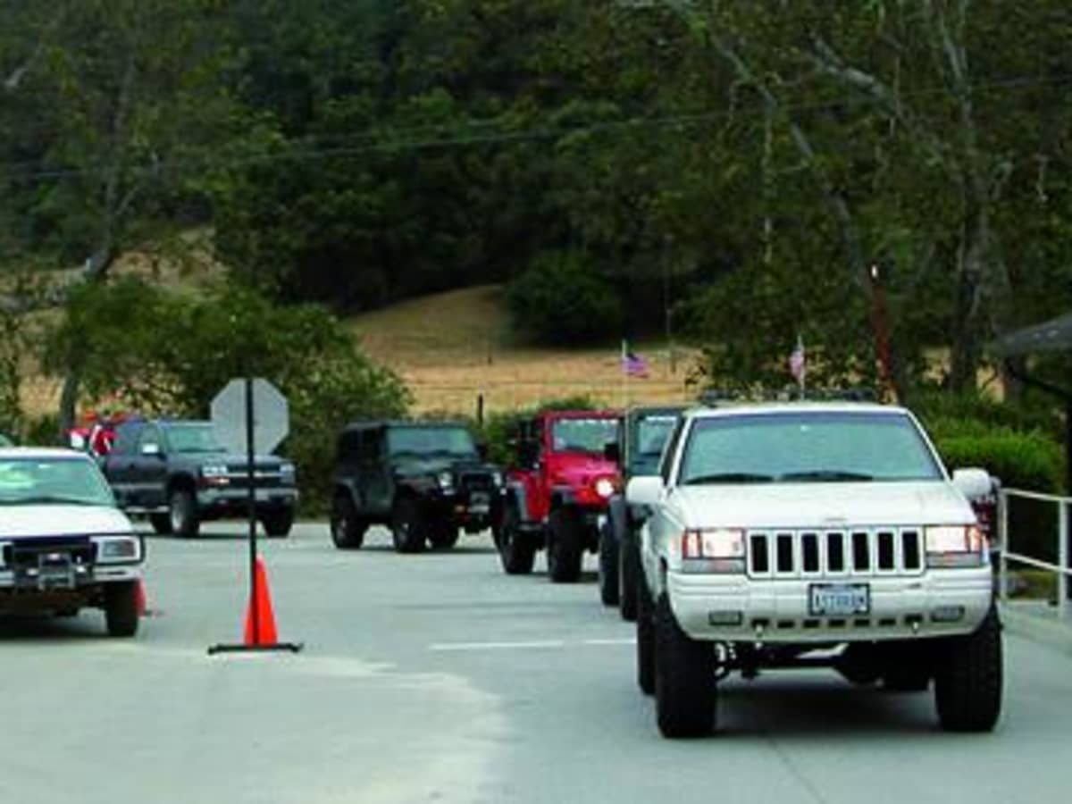
To traverse this trail, drivers must first stop at the main Hollister Hills ranger station down Cienega Road to pay the day-use fee and obtain the combination for the locked Upper Ranch entry gate. After passing through and relocking the gate, the route winds westward past the Large Pit area before terminating near Garner Lake Road and Prospect Road. High-clearance vehicles with four-wheel drive are necessary to explore the wider network, where trail ratings quickly reach difficult. The trail is open year-round, but wet weather turns the clay-rich dirt into slick mud, dramatically increasing the difficulty and requiring proper recovery gear.
Difficulty
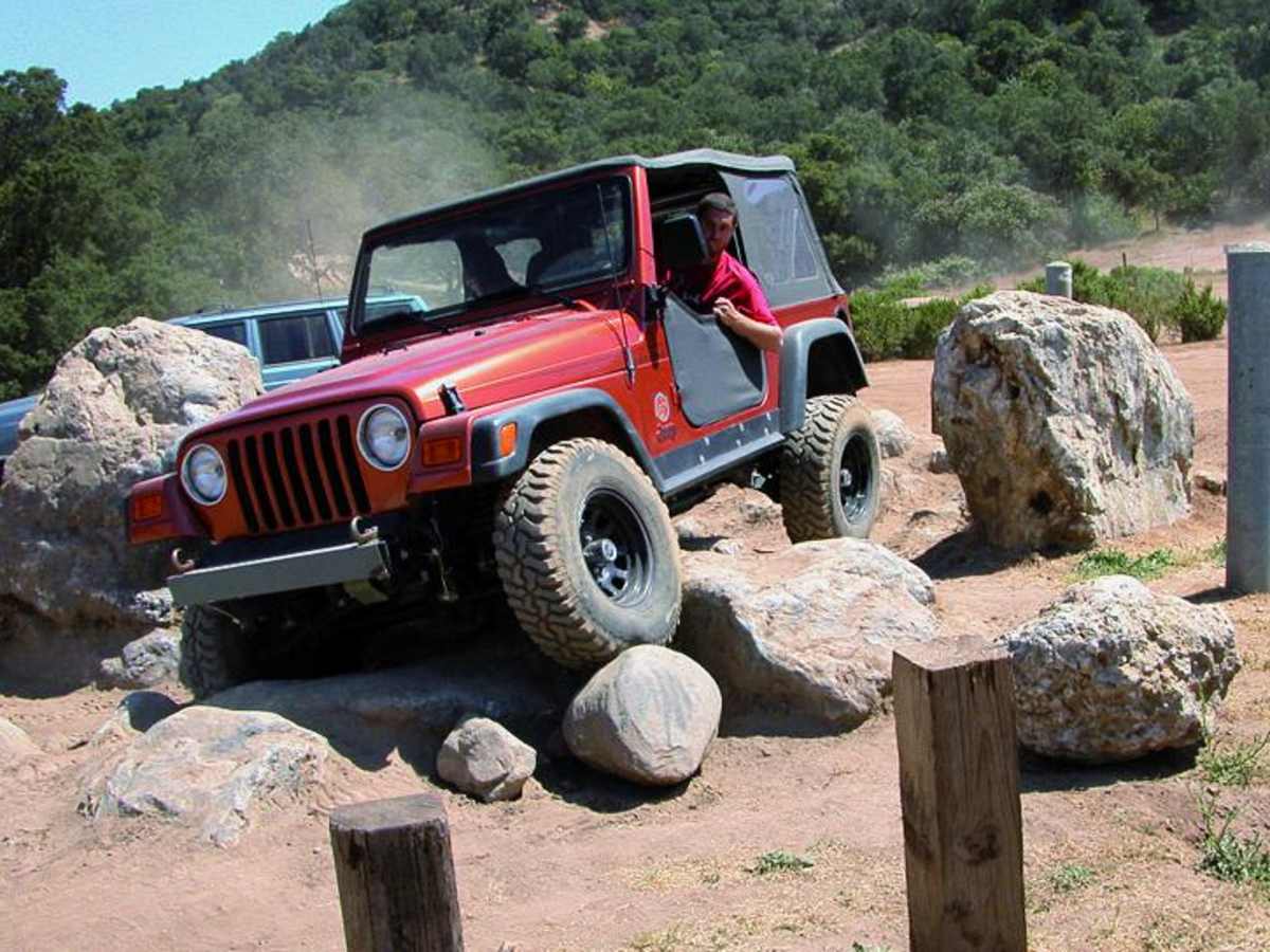
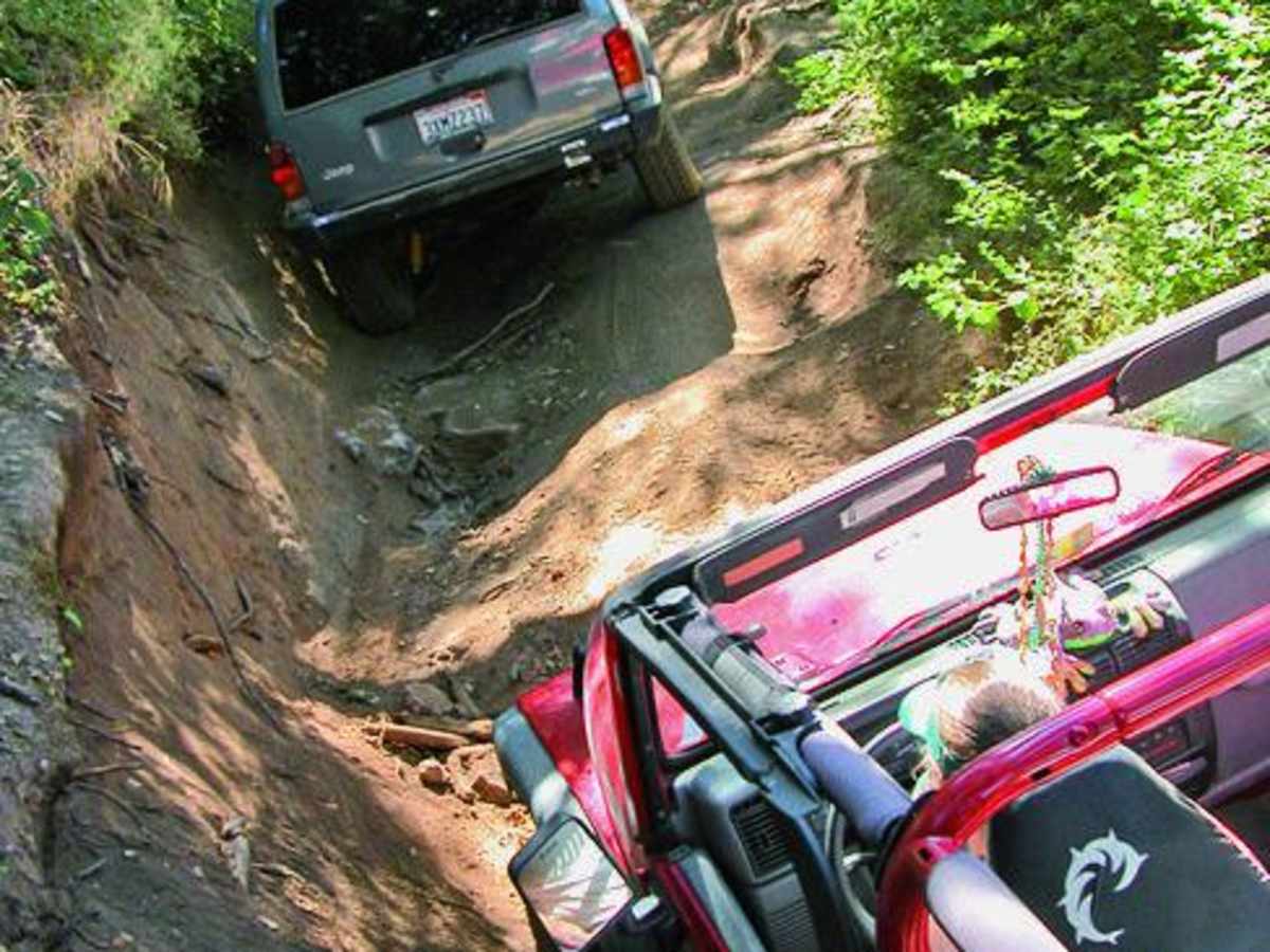
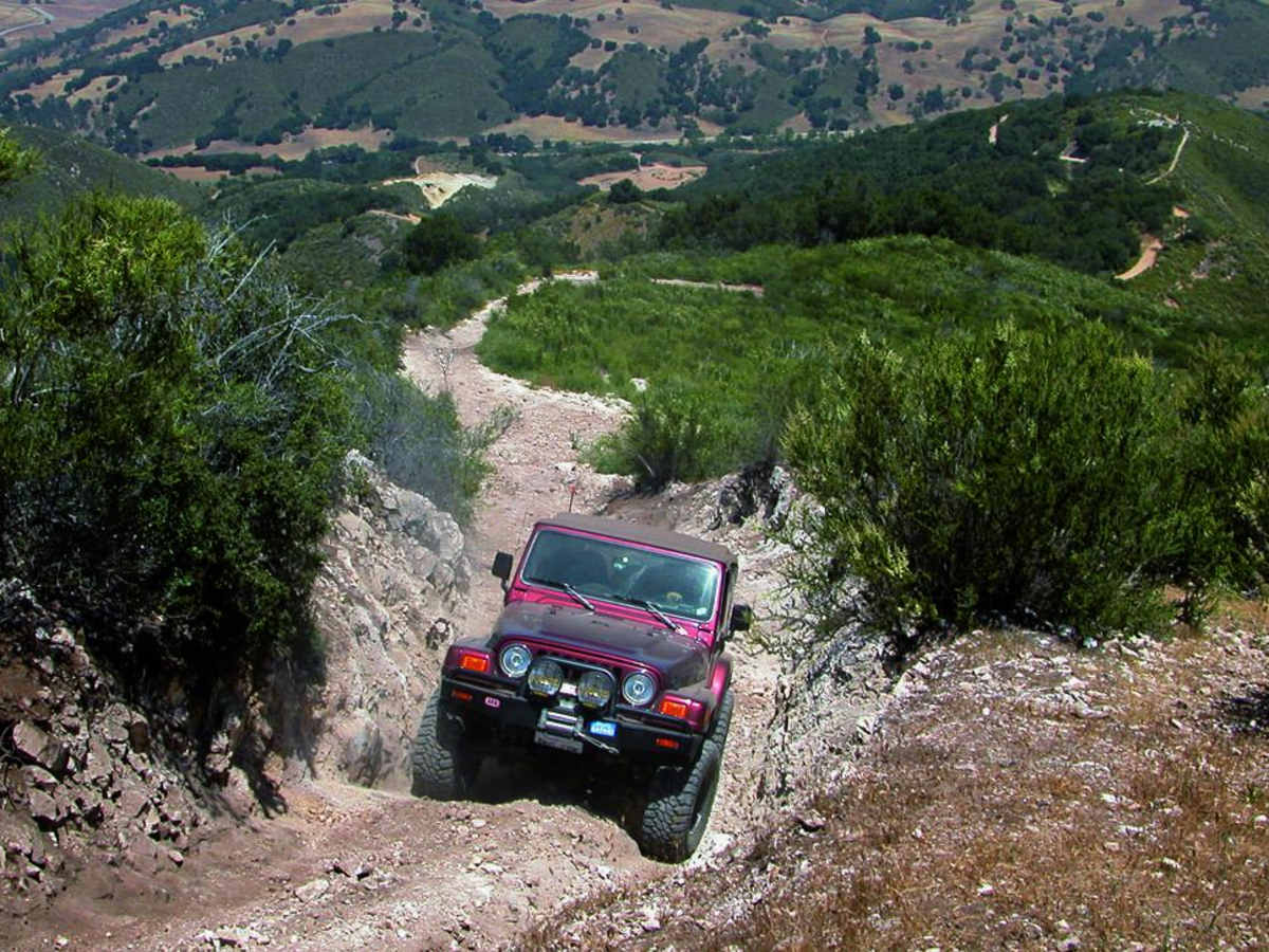
Difficult. Easy drive to obstacle course. Fremonita Road is narrow and steep with loose rock. McCray Road is moderate but quite steep and narrow. The Tank Trap is an axle twister in a narrow, high-banked ravine.
History
Hollister Hills State Vehicular Recreation Area was originally a private hunting club. Patrons used Jeeps, motorcycles, and 'totegoats' to get around the trails on the ranch. In 1975, the area became an OHV park.
Access Description
Access to the Upper Ranch requires paying a day-use entry fee at the main Hollister Hills State Vehicular Recreation Area ranger station on Cienega Road. Upon payment, staff will provide the combination to the locked gate at the trail entrance. The gate must be locked immediately after passing through. Street-legal 4x4s and registered off-highway vehicles are permitted.