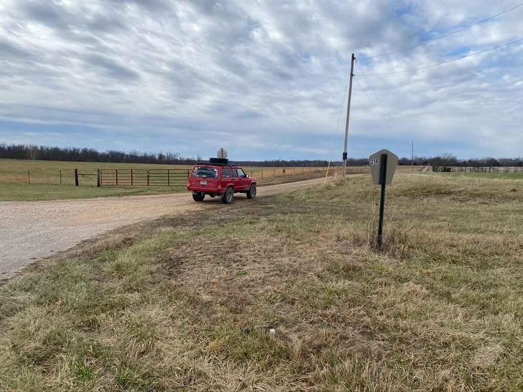
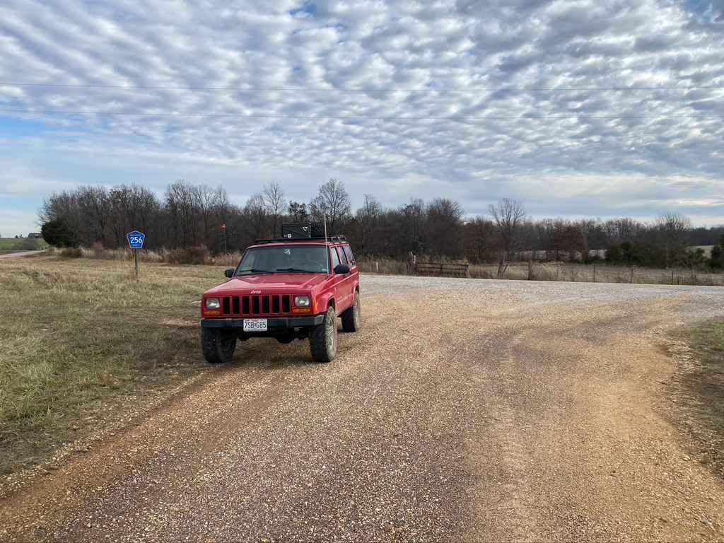
Whitewater Presbyterian Church Road
Total Miles
2.2
Technical Rating
Best Time
Spring, Fall, Summer, Winter
Trail Type
Full-Width Road
Accessible By
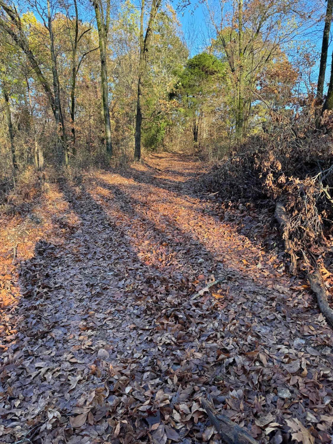
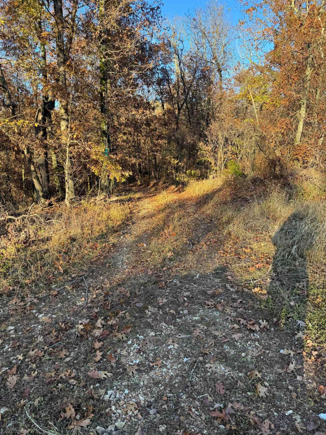
Trail Overview
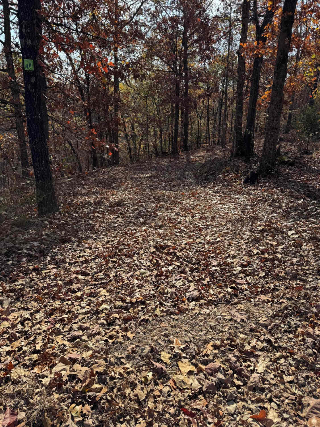
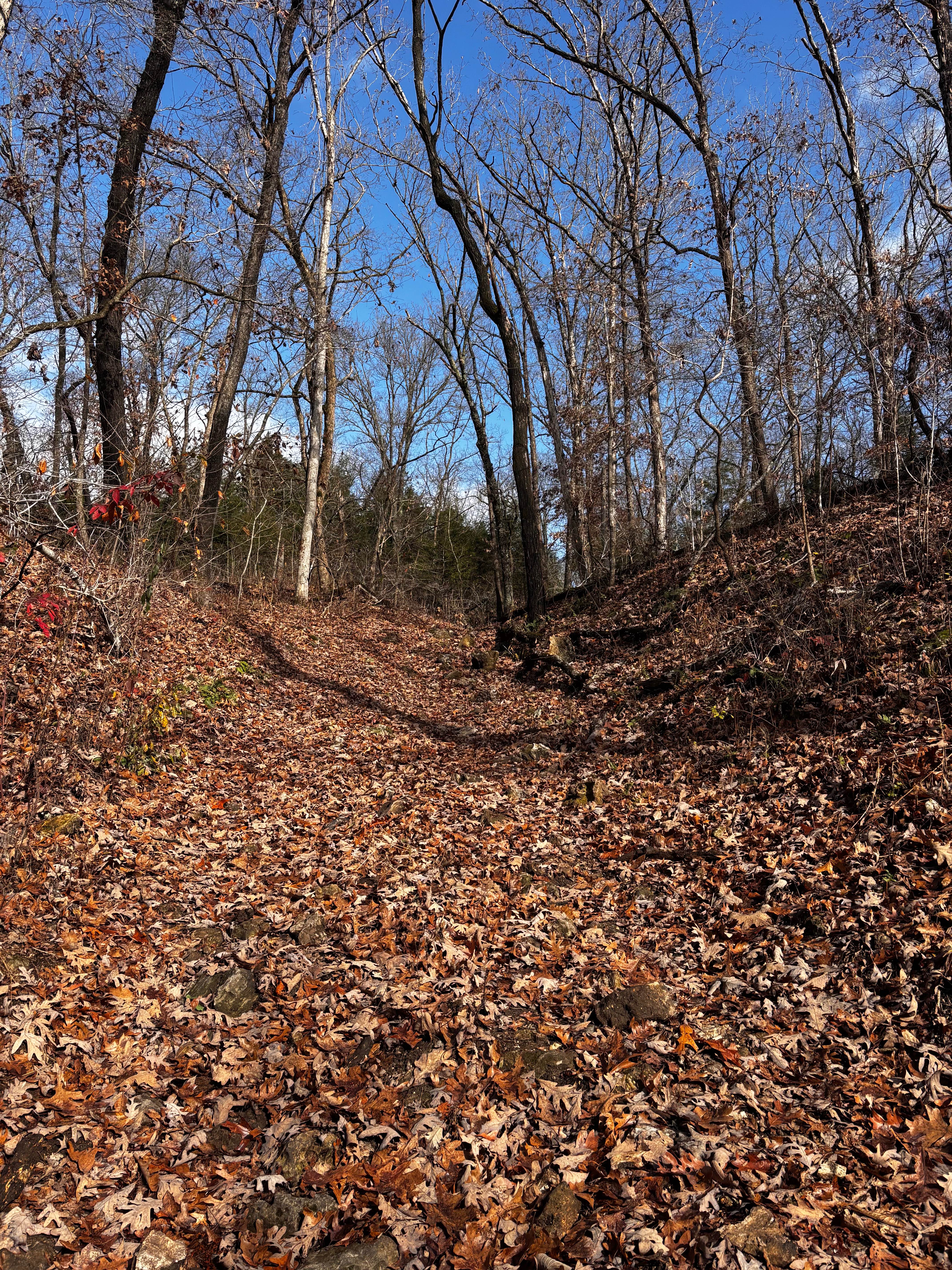
Whitewater Presbyterian Church Road, or the Bo-Co Road 256, is a gravel county road that traverses passed the church and into the valley below. The bottom section of the road features mild rutting, natural rock popping up at the surface, and gravel fading to dirt, potentially muddy with wet conditions. At the midway point, there are steep grades leading to a low water bridge at the bottom of the valley. The overall feel is that this road is minimally maintained.
Photos of Whitewater Presbyterian Church Road
Difficulty
Mild rutting and steep grades mixed with a lot of rain run off make this road and exciting route to get from point to point.
Status Reports
Whitewater Presbyterian Church Road can be accessed by the following ride types:
- High-Clearance 4x4
- SUV
Whitewater Presbyterian Church Road Map
Popular Trails
The onX Offroad Difference
onX Offroad combines trail photos, descriptions, difficulty ratings, width restrictions, seasonality, and more in a user-friendly interface. Available on all devices, with offline access and full compatibility with CarPlay and Android Auto. Discover what you’re missing today!