EC1181
Total Miles
1.5
Technical Rating
Best Time
Winter, Fall, Spring
Trail Type
Full-Width Road
Accessible By
Trail Overview
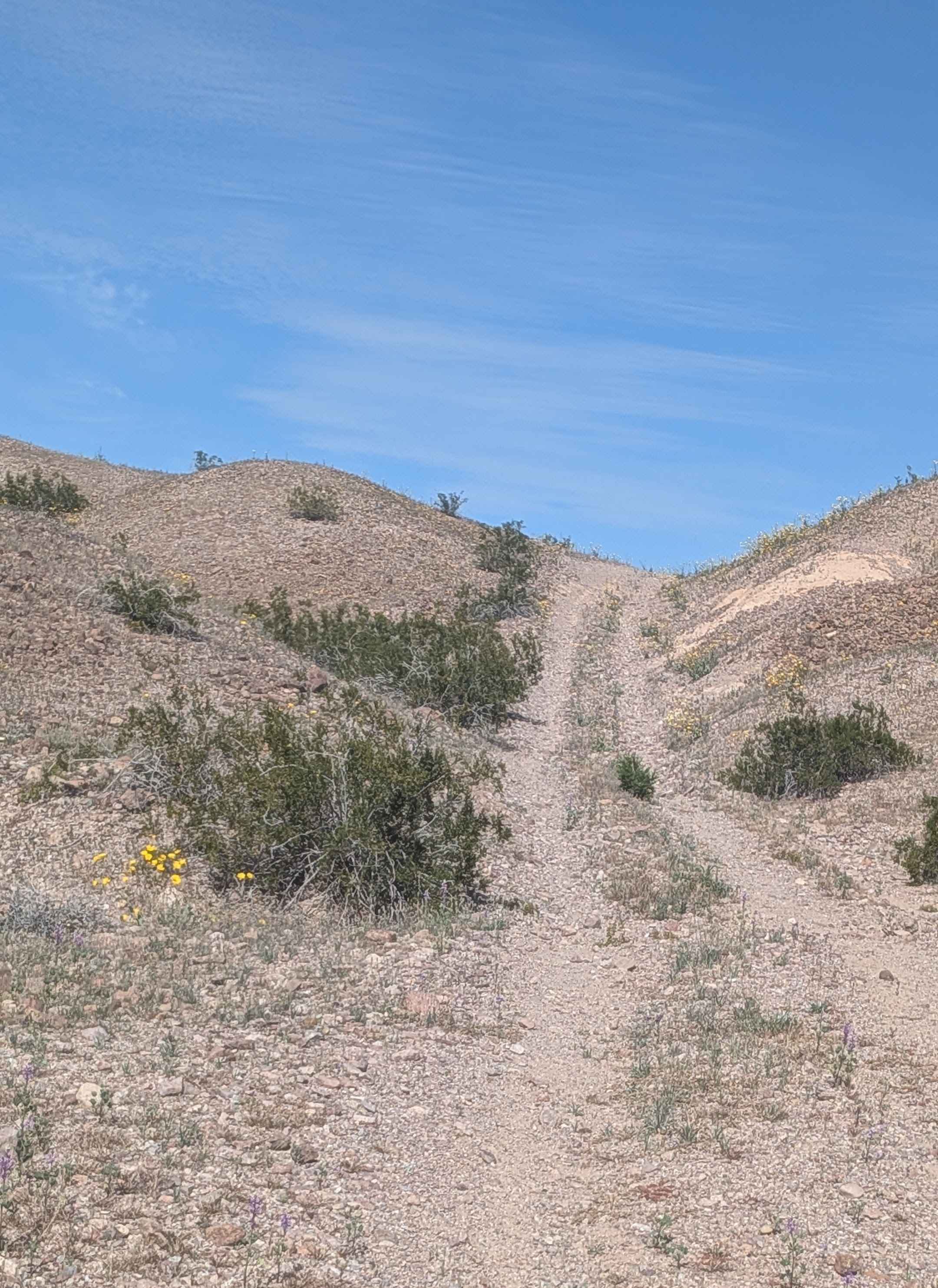
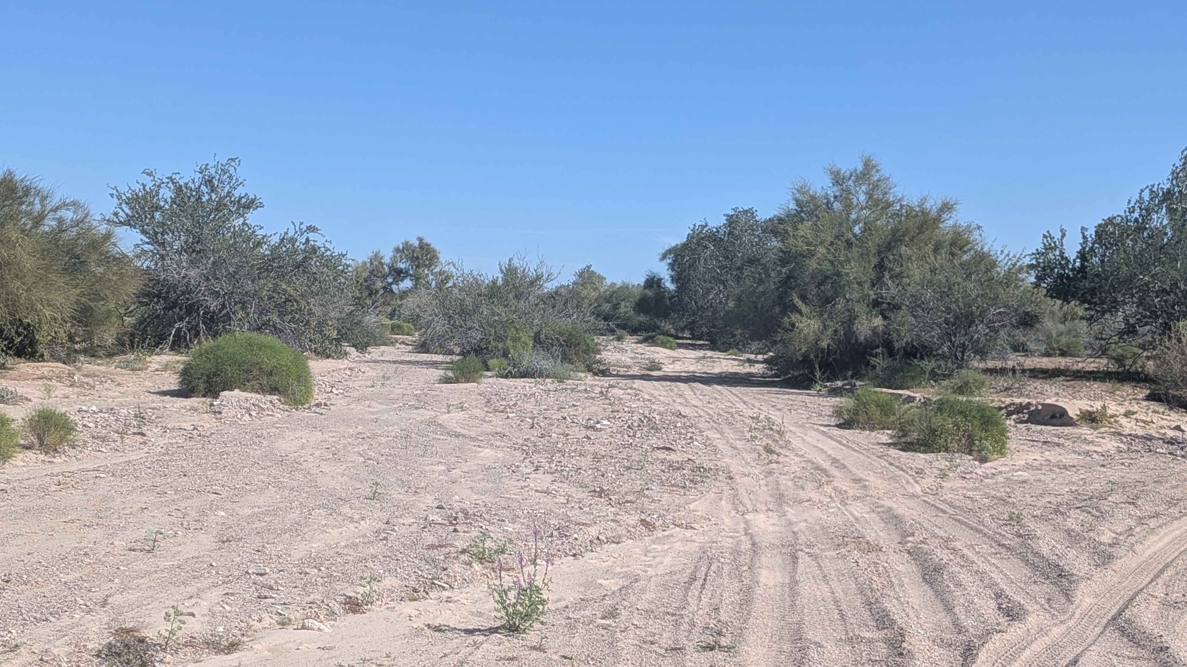
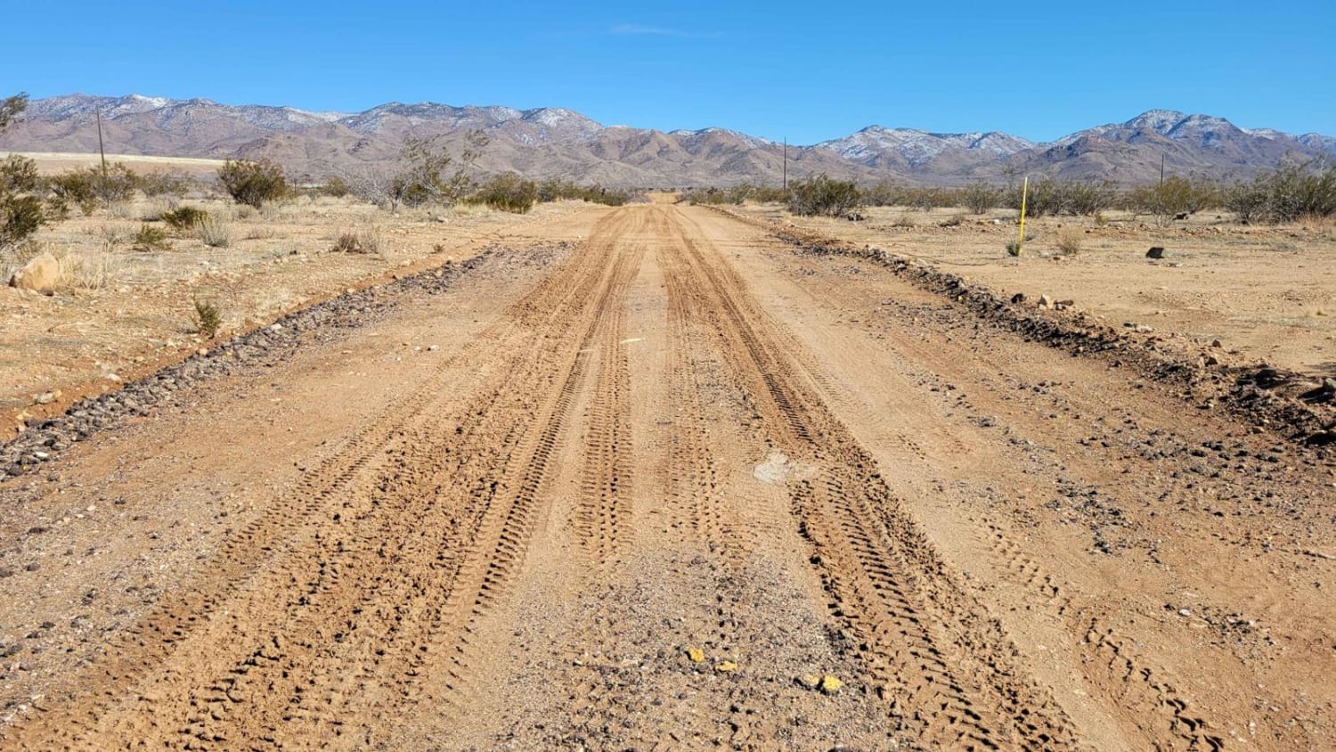
This 1.5-mile out-and-back trail climbs 130 feet, starting on EC1179 in a soft and sandy wash surrounded by trees and brush. The route quickly climbs out and runs along the lower level edges between the wash and hills, where the surface transitions to hard-packed sand. The trail heads to and through small hills, becoming much rockier and very narrow as it navigates through the hills, demanding careful line choice in tight quarters. Eventually, it climbs out and rises above the wash and hills, giving you nice views of the surrounding mountains from the elevated vantage point. The changing terrain from soft sand to hard pack to rocky creates an interesting variety of conditions along this short route.
Photos of EC1181
Difficulty
The soft sandy wash at the start requires four wheel drive and airing down for traction. As the trail becomes much rockier and very narrow through the hills, navigation becomes more technical with limited room for error. The climb out of the wash and subsequent elevation gain add to the challenge. The variety of surfaces, from soft sand to hard pack to rocks, demands adaptability throughout.
Status Reports
EC1181 can be accessed by the following ride types:
- High-Clearance 4x4
- SUV
- SxS (60")
- ATV (50")
- Dirt Bike
EC1181 Map
Popular Trails
Old Cameron / 307
Q44 ORV Route
Spur Loop to Chloride AZ Peace Trail Connector (Southeast)
The onX Offroad Difference
onX Offroad combines trail photos, descriptions, difficulty ratings, width restrictions, seasonality, and more in a user-friendly interface. Available on all devices, with offline access and full compatibility with CarPlay and Android Auto. Discover what you’re missing today!