W15
Total Miles
0.2
Technical Rating
Best Time
Spring, Summer, Fall, Winter
Trail Type
Full-Width Road
Accessible By
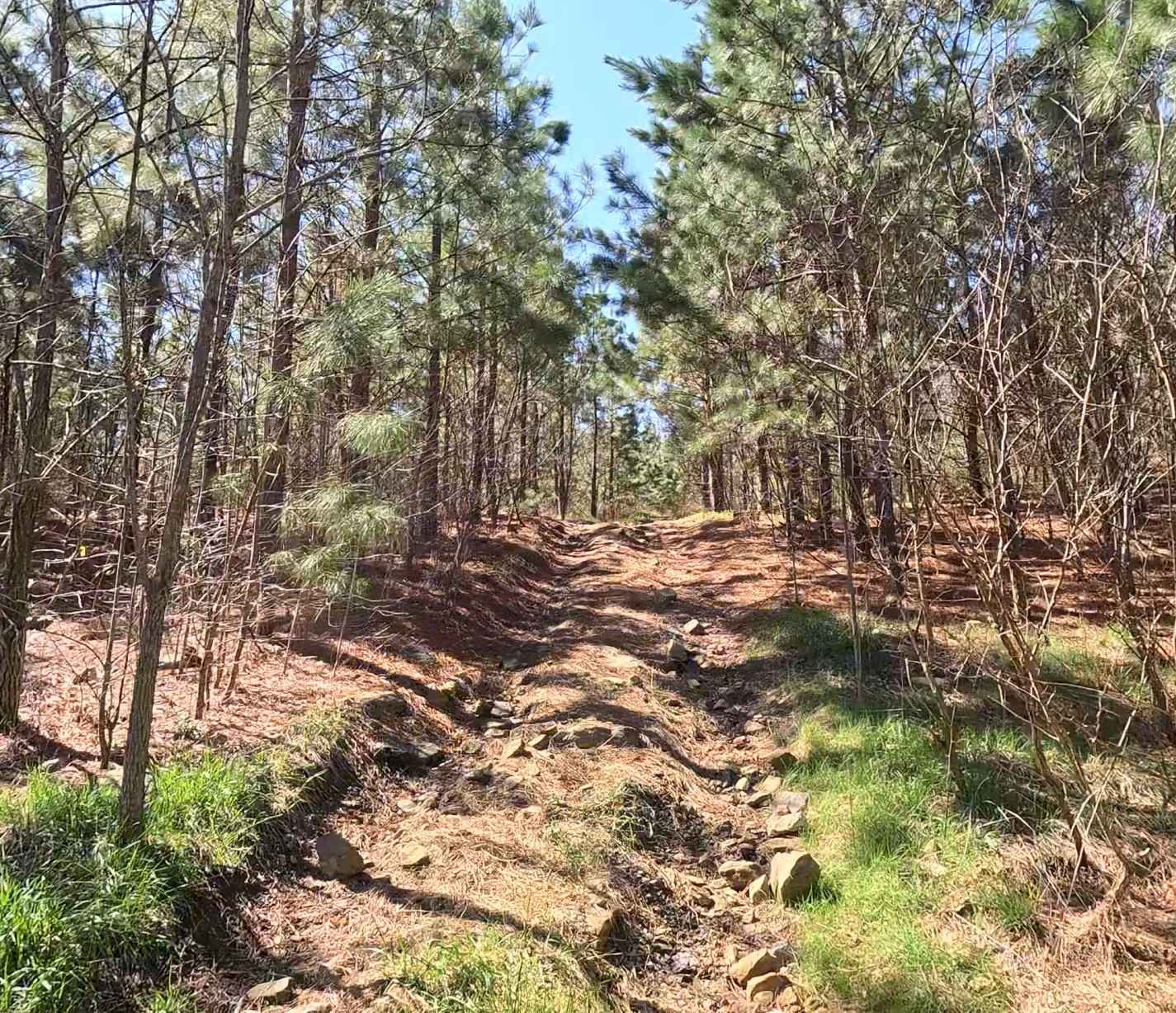
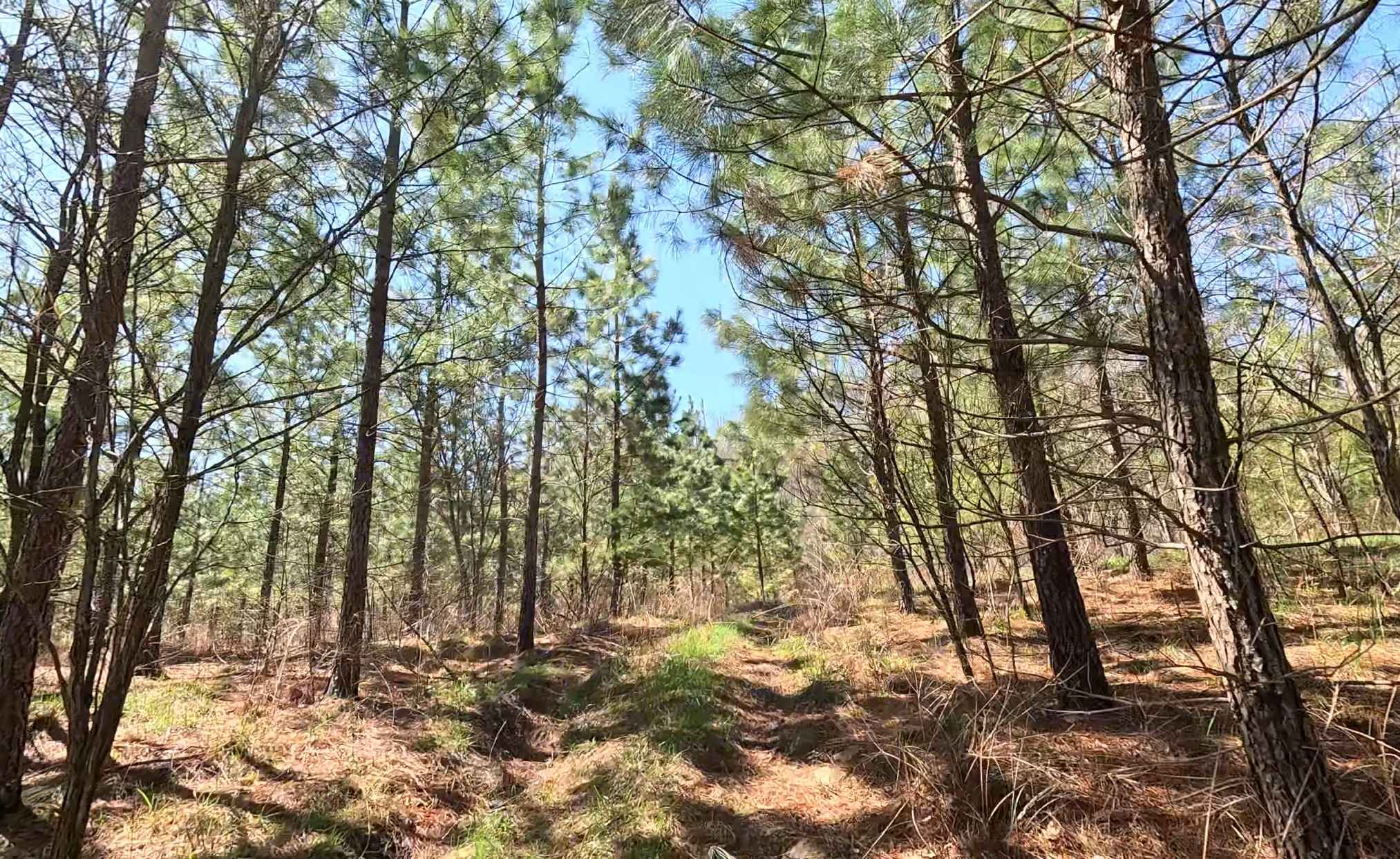
Trail Overview
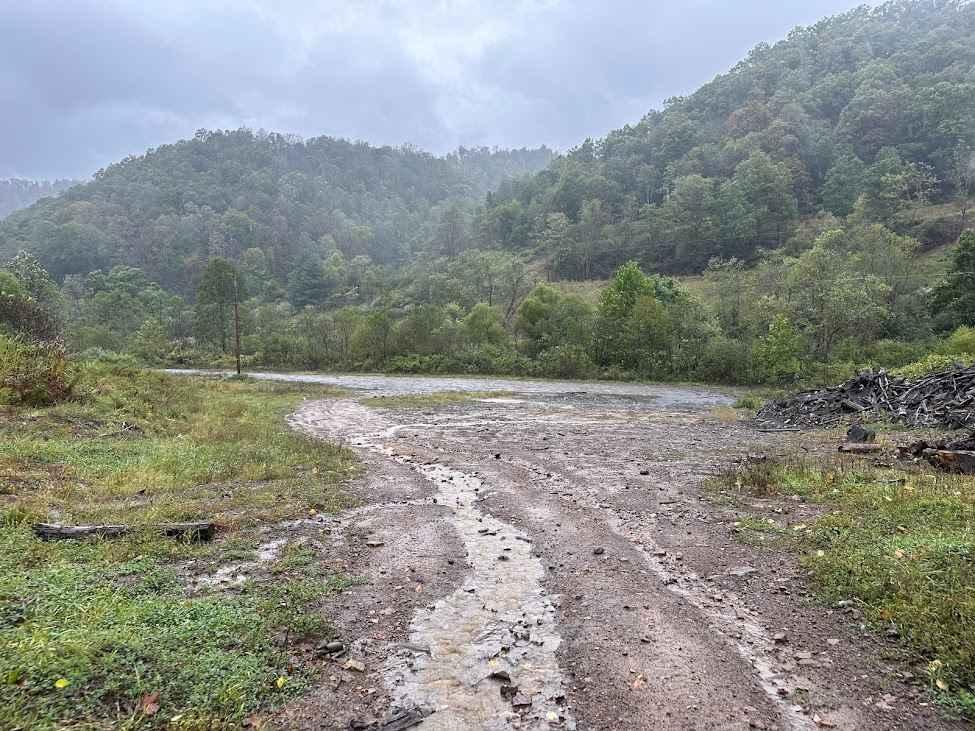
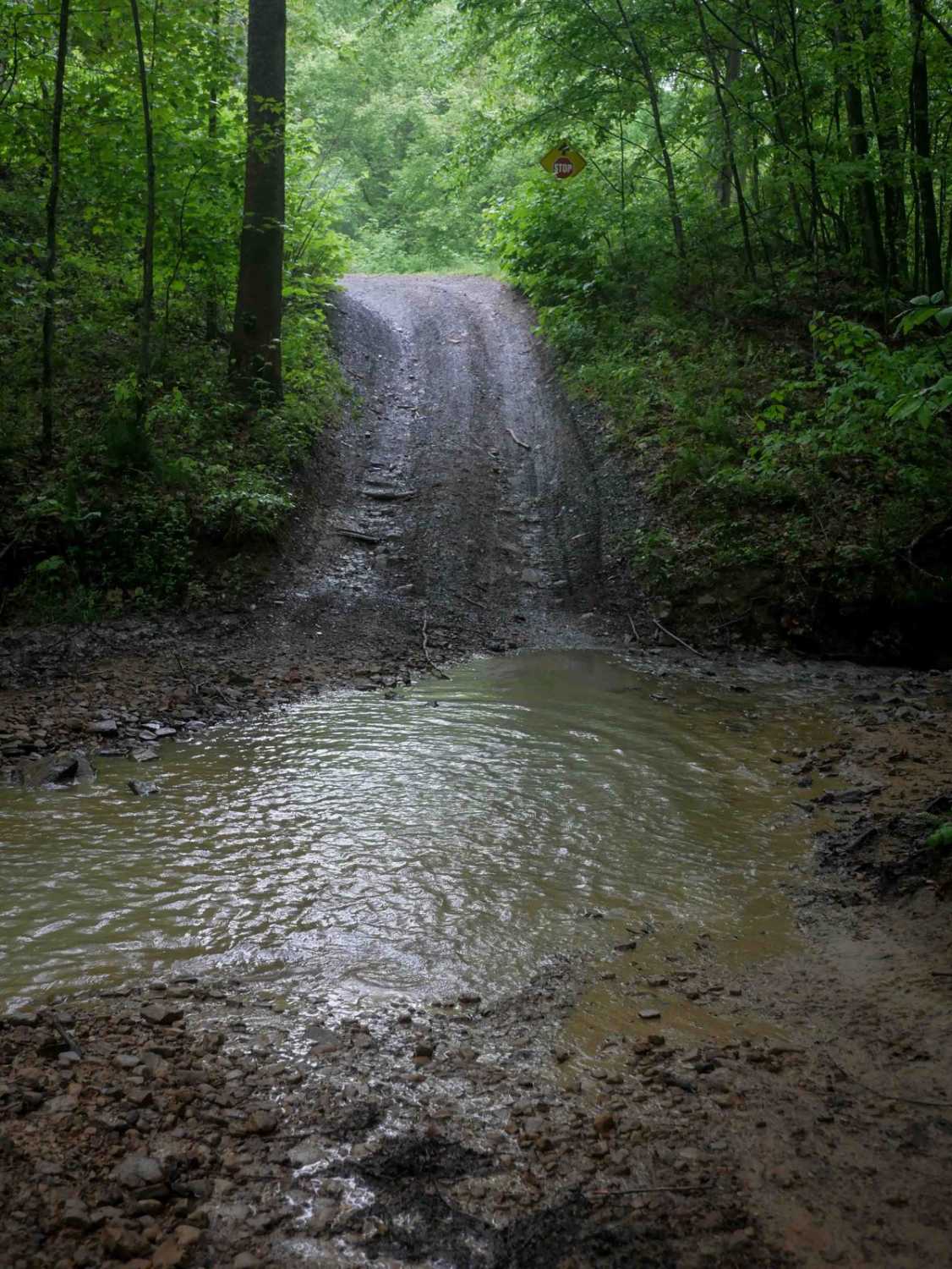
W15 is a narrow connector trail linking W4 to W2, offering a more technical route between the two. Beginning at W4, this trail climbs steadily toward the ridge, providing a more engaging alternative to the main corridors. Trail conditions can vary depending on the weather and the time of year. Wet conditions may reduce traction on the rocky climbs, and vegetation overgrowth can limit visibility and maneuvering space.
Photos of W15
Difficulty
Moderate terrain with rocky climbs and narrow sections. Best suited for 4WD and high-clearance vehicles. Some sections require controlled throttle and deliberate line choice, especially on ascents.
Status Reports
W15 can be accessed by the following ride types:
- High-Clearance 4x4
- SUV
- SxS (60")
- ATV (50")
- Dirt Bike
W15 Map
Popular Trails


The onX Offroad Difference
onX Offroad combines trail photos, descriptions, difficulty ratings, width restrictions, seasonality, and more in a user-friendly interface. Available on all devices, with offline access and full compatibility with CarPlay and Android Auto. Discover what you’re missing today!