FS 795
Total Miles
1.4
Technical Rating
Best Time
Spring, Summer, Fall, Winter
Trail Type
Full-Width Road
Accessible By
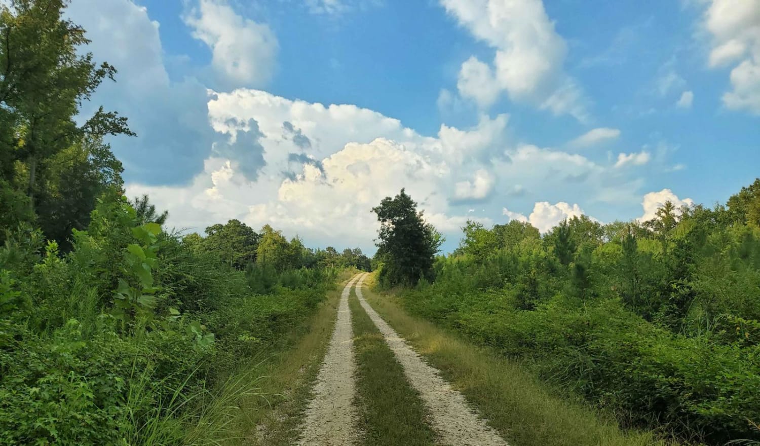
Trail Overview
This is an out-and-back side trail that follows an easy, mostly two-lane gravel road through scenic sections of the Sumpter National Forest just over the Georgia/South Carolina border. There are no obstacles, and most vehicles should be able to travel the road without difficulty. The area is quiet and remote, with minimal traffic and natural surroundings that make for a relaxing drive or exploration. At the end is a mapped hiking path with details on the sign. Cell phone service can be sporadic or unavailable, so it is recommended to plan ahead and bring any supplies you may need in case of an emergency.
Photos of FS 795
Difficulty
This trail is a very well-maintained two-lane gravel road that is smooth with the possible occasional wash areas, but any vehicle should be able to travel this trail easily.
Status Reports
FS 795 can be accessed by the following ride types:
- High-Clearance 4x4
- SUV
FS 795 Map
Popular Trails

Bernett Road - FS 668/668A
Francis Marion & Sumter National Forests Southern Adventure Route
The onX Offroad Difference
onX Offroad combines trail photos, descriptions, difficulty ratings, width restrictions, seasonality, and more in a user-friendly interface. Available on all devices, with offline access and full compatibility with CarPlay and Android Auto. Discover what you’re missing today!