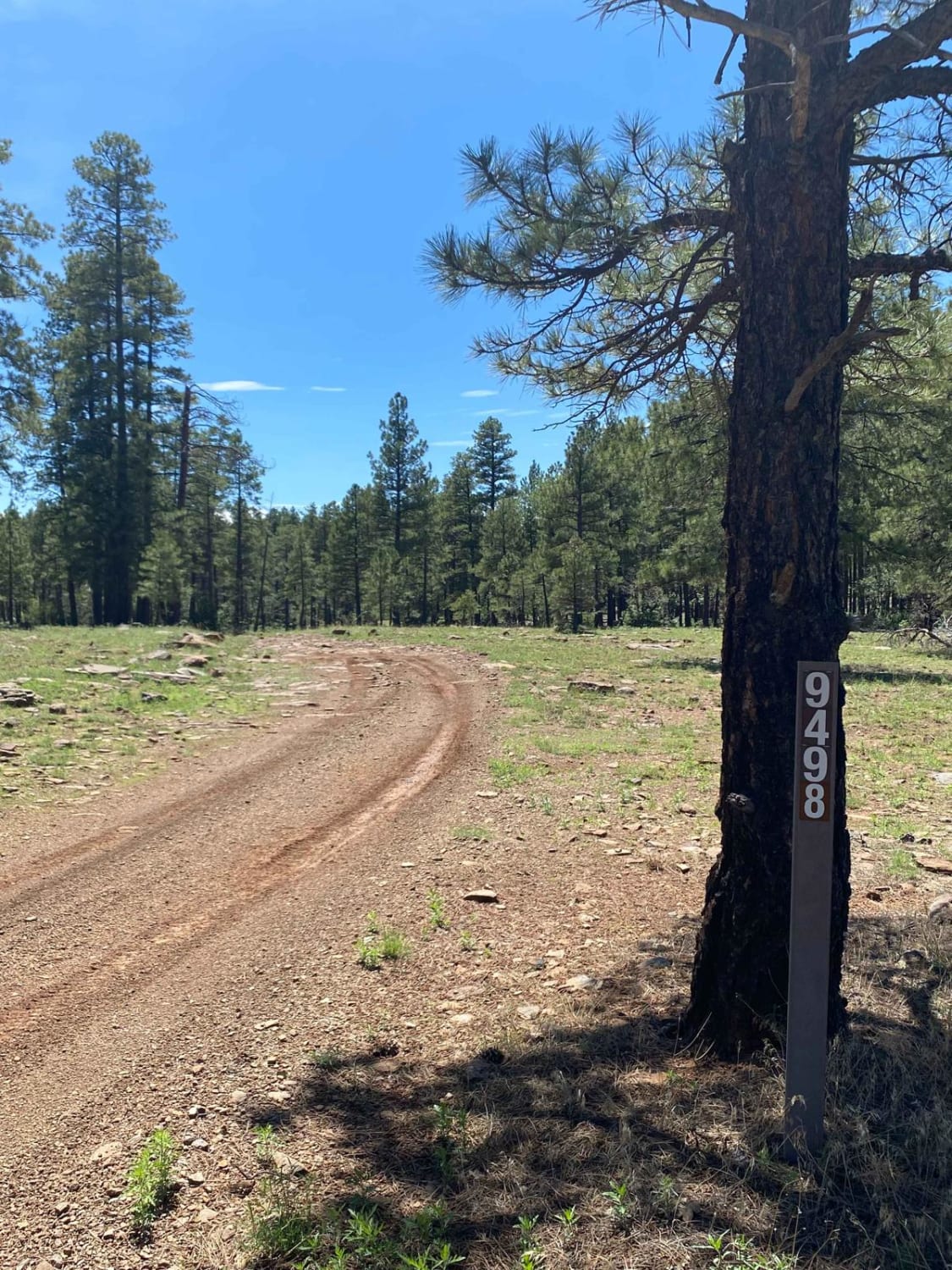
Thomas Point Trail
Total Miles
2.5
Technical Rating
Best Time
Spring, Summer, Fall
Trail Type
Full-Width Road
Accessible By
Trail Overview
Thomas Point Trail is a fun, rocky out-and-back trail near Munds Park, AZ. The trail is mostly dirt with plenty of buried and loose rock to navigate as you roll through the Ponderosa pines in the Coconino National Forest. High clearance will be a must and 4WD will make passing some of the rockier sections much easier. Rain will likely increase trail difficulty. Once at the western end of the trail, you can expect peek-a-boo views looking down towards Sedona and Slide Rock from the East rim of Oak Creek Canyon.
Photos of Thomas Point Trail

Difficulty
Mostly dirt trail with plenty of buried and loose rock to navigate. High clearance SUVs and stock 4x4s will need to be more precise with their lines. Rain will likely make this trail more difficult and will require 4WD.
Status Reports
Thomas Point Trail can be accessed by the following ride types:
- High-Clearance 4x4
- SUV
- SxS (60")
- ATV (50")
- Dirt Bike
Thomas Point Trail Map
Popular Trails
Porque Tank Trail

County Highway 125 - Route 7000
The onX Offroad Difference
onX Offroad combines trail photos, descriptions, difficulty ratings, width restrictions, seasonality, and more in a user-friendly interface. Available on all devices, with offline access and full compatibility with CarPlay and Android Auto. Discover what you’re missing today!