Low Gap Road
Total Miles
20.6
Technical Rating
Best Time
Spring, Summer, Fall
Trail Type
Full-Width Road
Accessible By
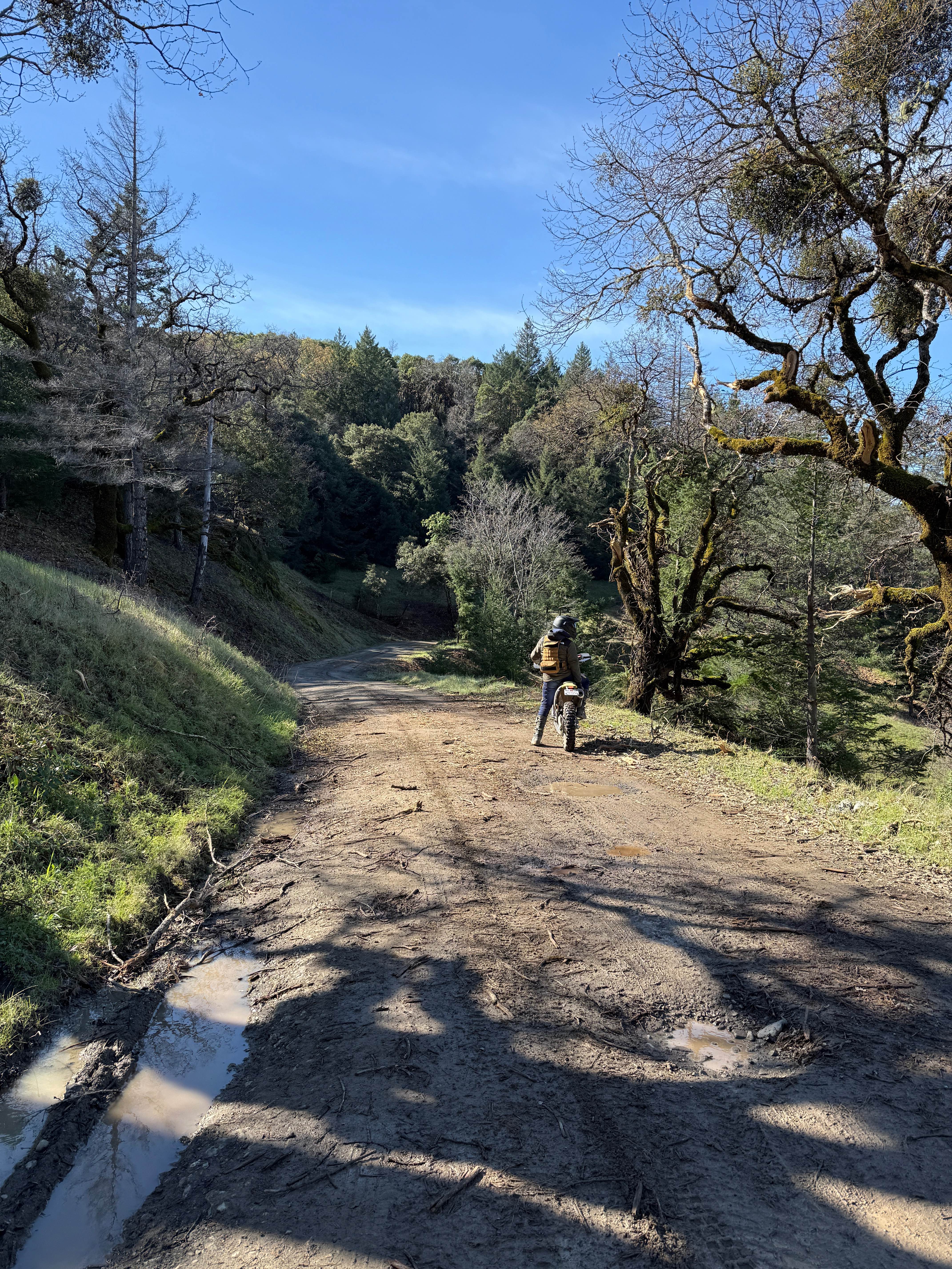
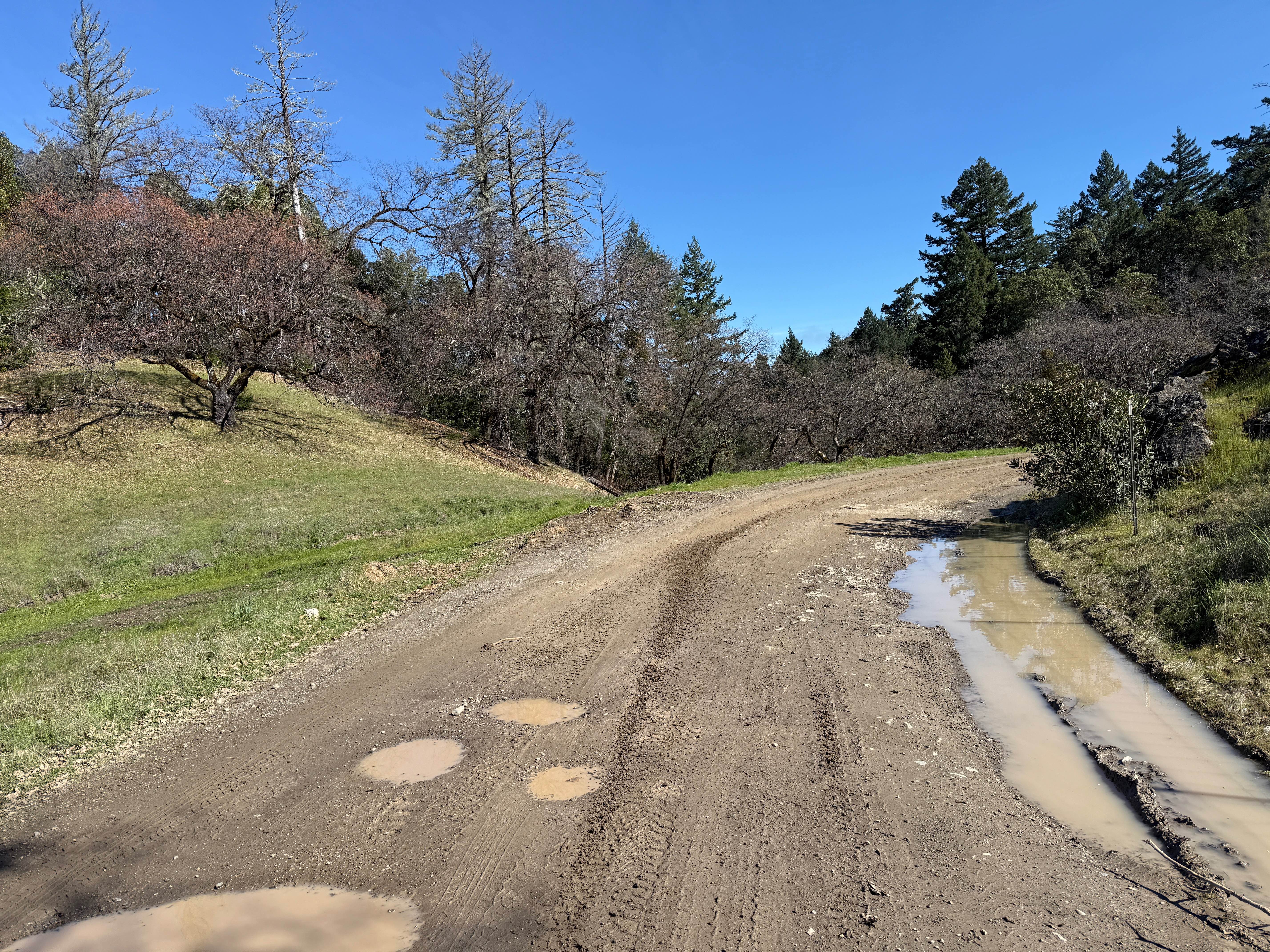
Trail Overview
Flowy dirt road that climbs through grassy oak woodlands before entering the redwood forests of the California Coast. Quiet road with minimal obstacles. Currently, there is a bridge on the route that is closed to cars (see photos). Nothing larger than a BMW Adventure bike is going to be able to pass through. Enjoy the beautiful vistas. There are some spots that get pretty slippery after rain due to slick mud, so just keep an eye out.
Photos of Low Gap Road
Difficulty
This is a flowy dirt road with blind corners and off-camber turns. Slick mud can be present in certain areas during the rainy season.
History
Low Gap Road was the original trail used by the Pomo Indians to journey to the coast for trade.
Status Reports
Low Gap Road can be accessed by the following ride types:
- High-Clearance 4x4
- SUV
- Dirt Bike
Low Gap Road Map
Popular Trails
BM Bush Run
Dry Creek Cutoff FS 32E628-SNO
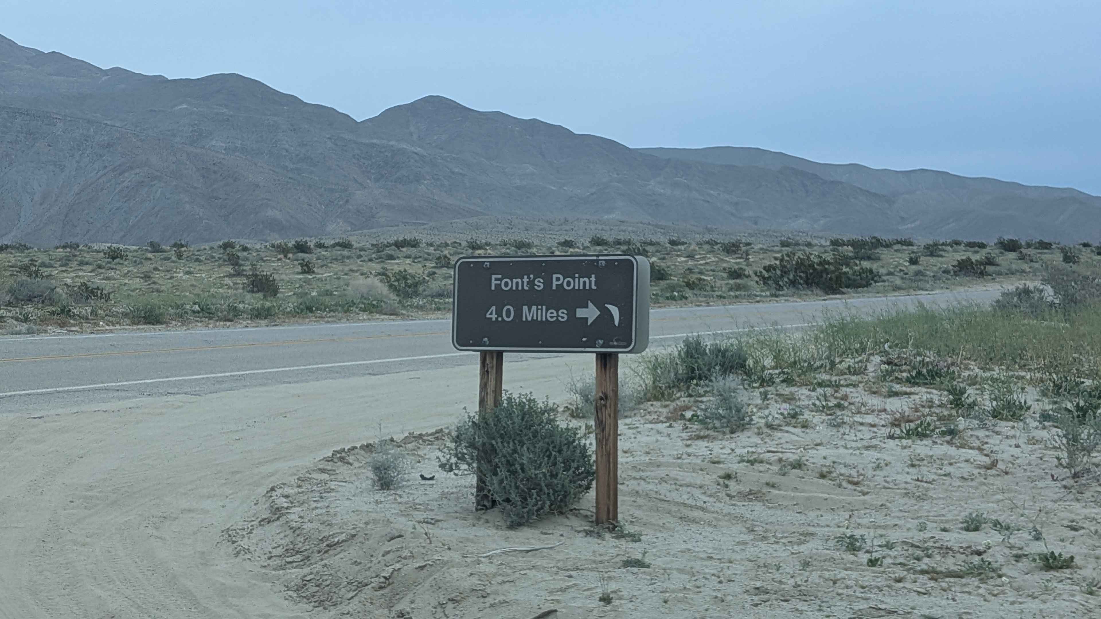
Fonts Point Wash

8s098h - Snow Drift Spur
The onX Offroad Difference
onX Offroad combines trail photos, descriptions, difficulty ratings, width restrictions, seasonality, and more in a user-friendly interface. Available on all devices, with offline access and full compatibility with CarPlay and Android Auto. Discover what you’re missing today!