FS 1727
Total Miles
2.1
Technical Rating
Best Time
Spring, Summer, Fall, Winter
Trail Type
Full-Width Road
Accessible By
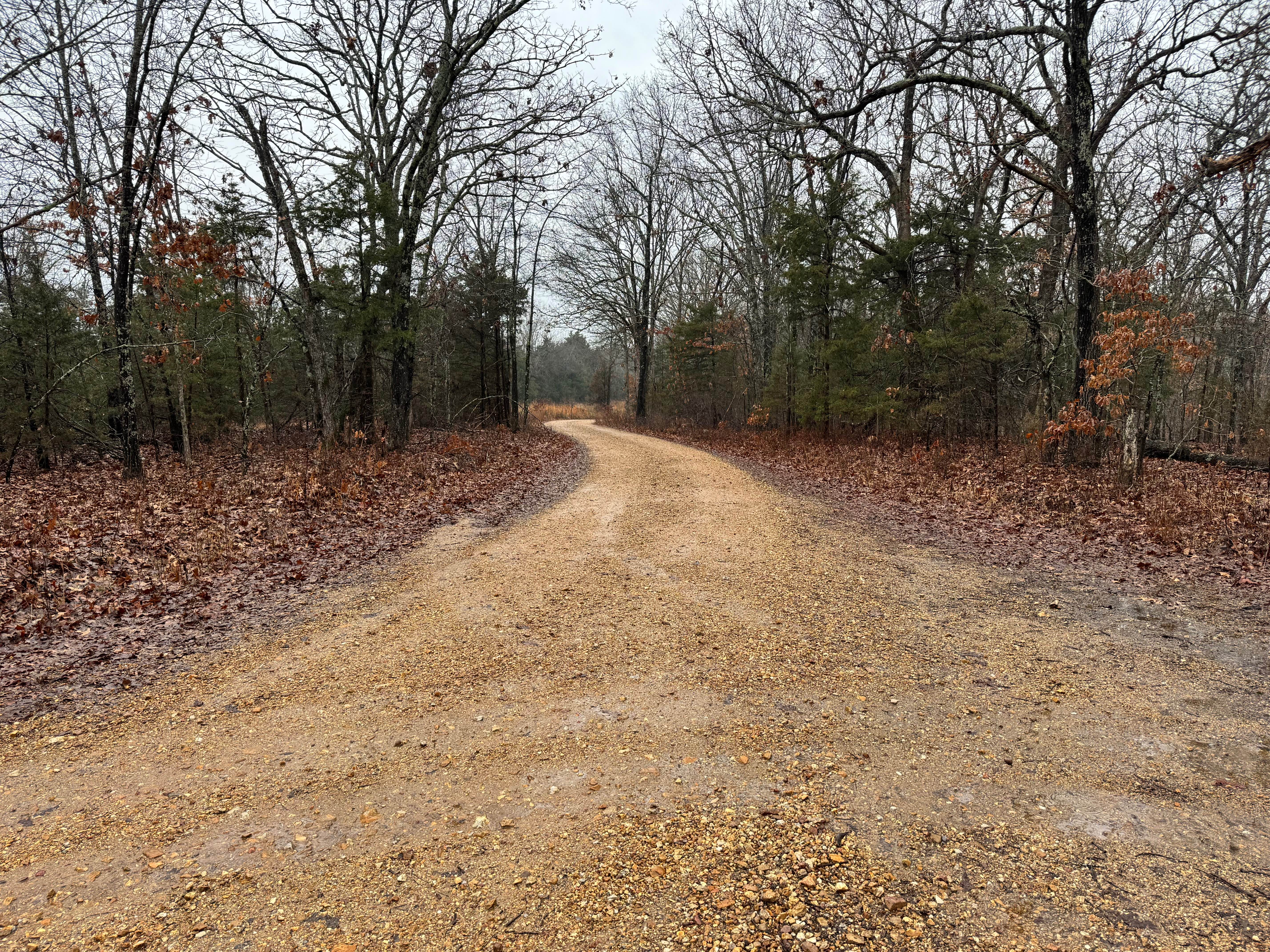
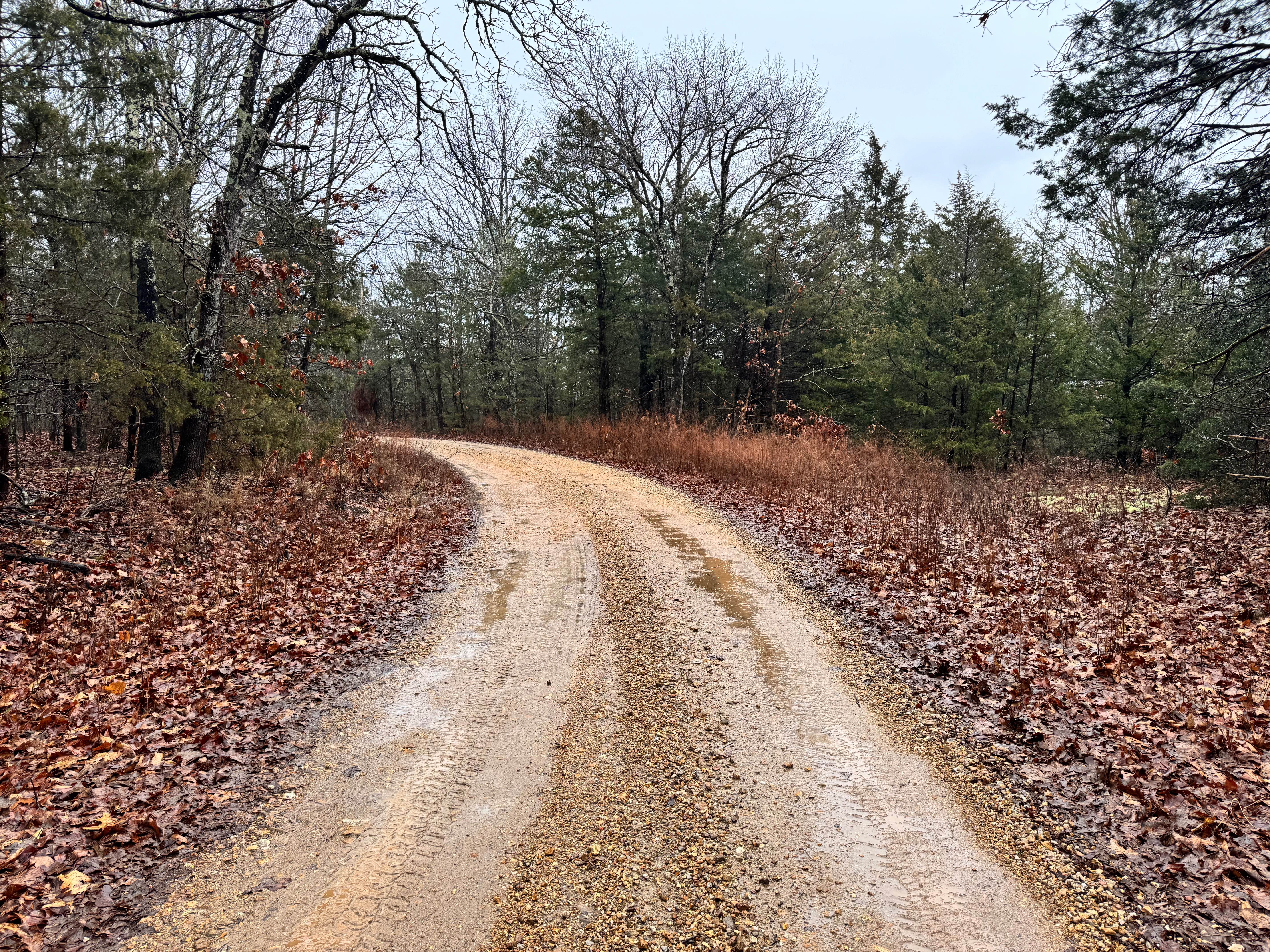
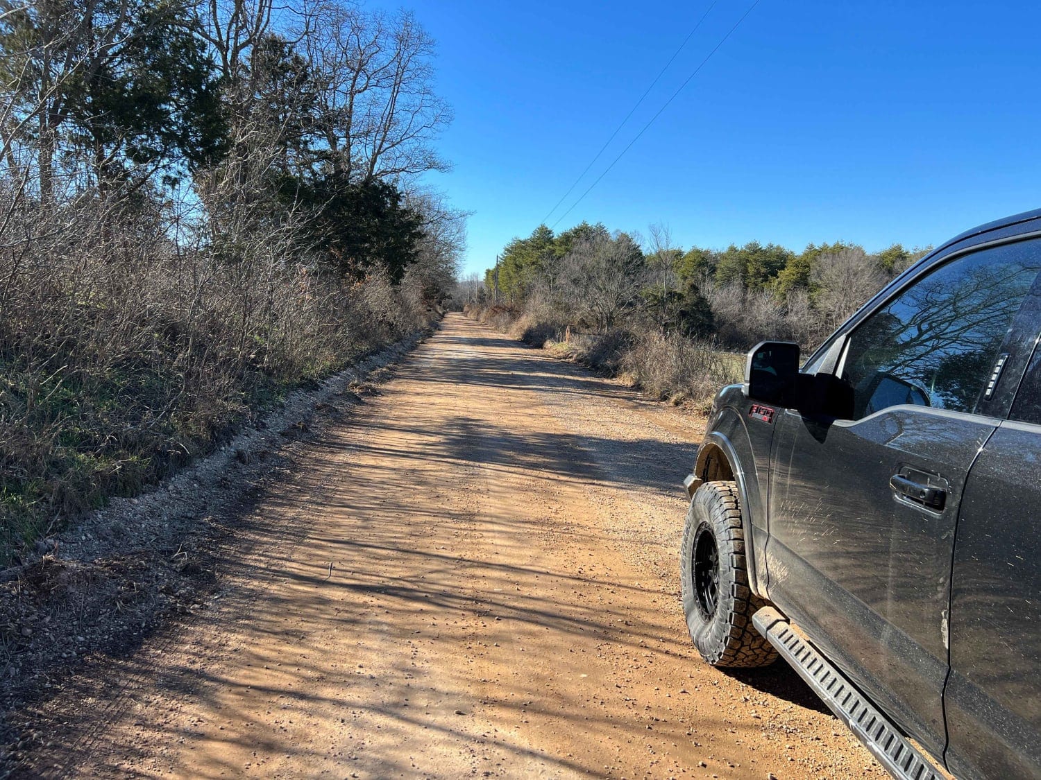
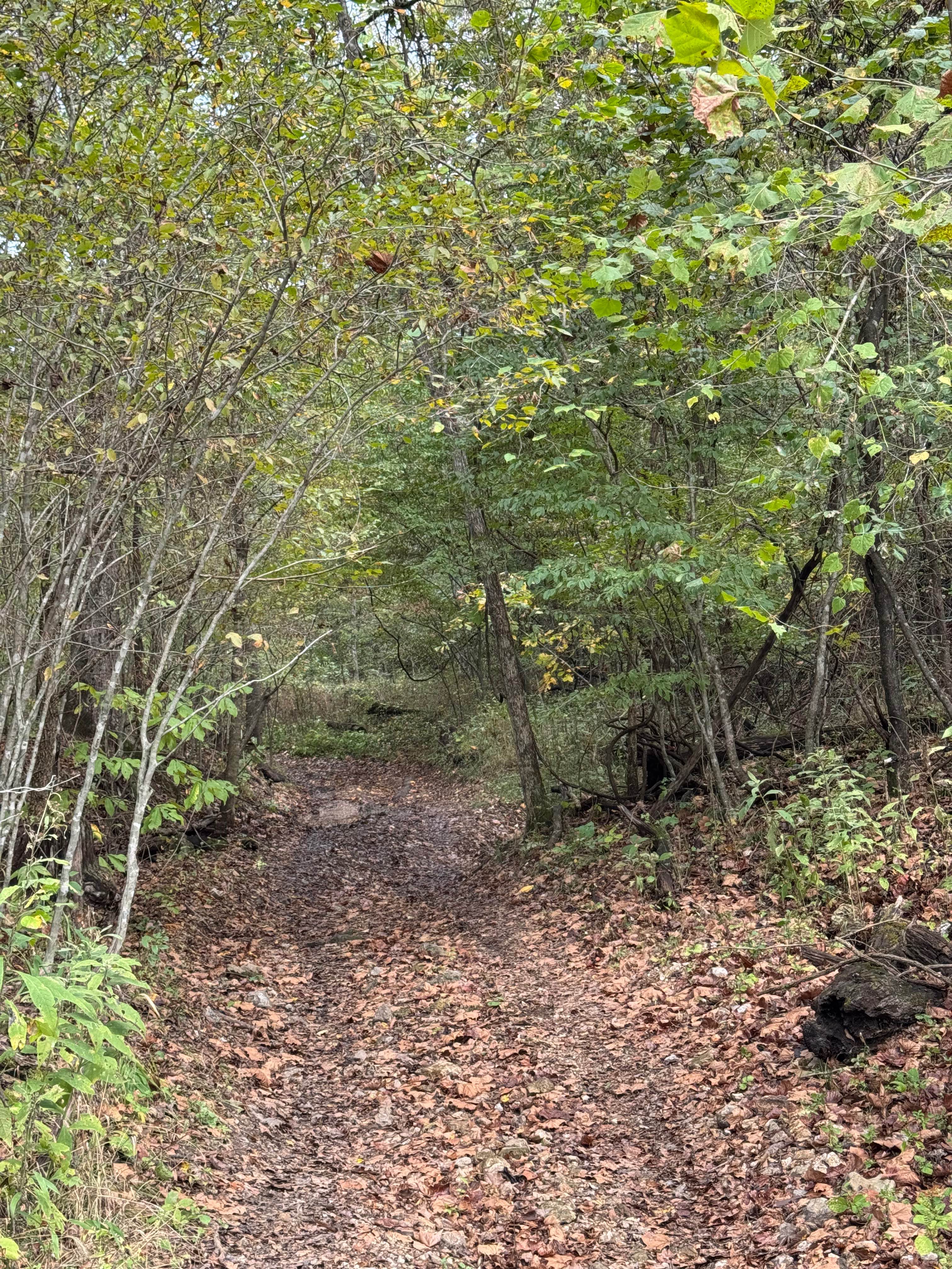
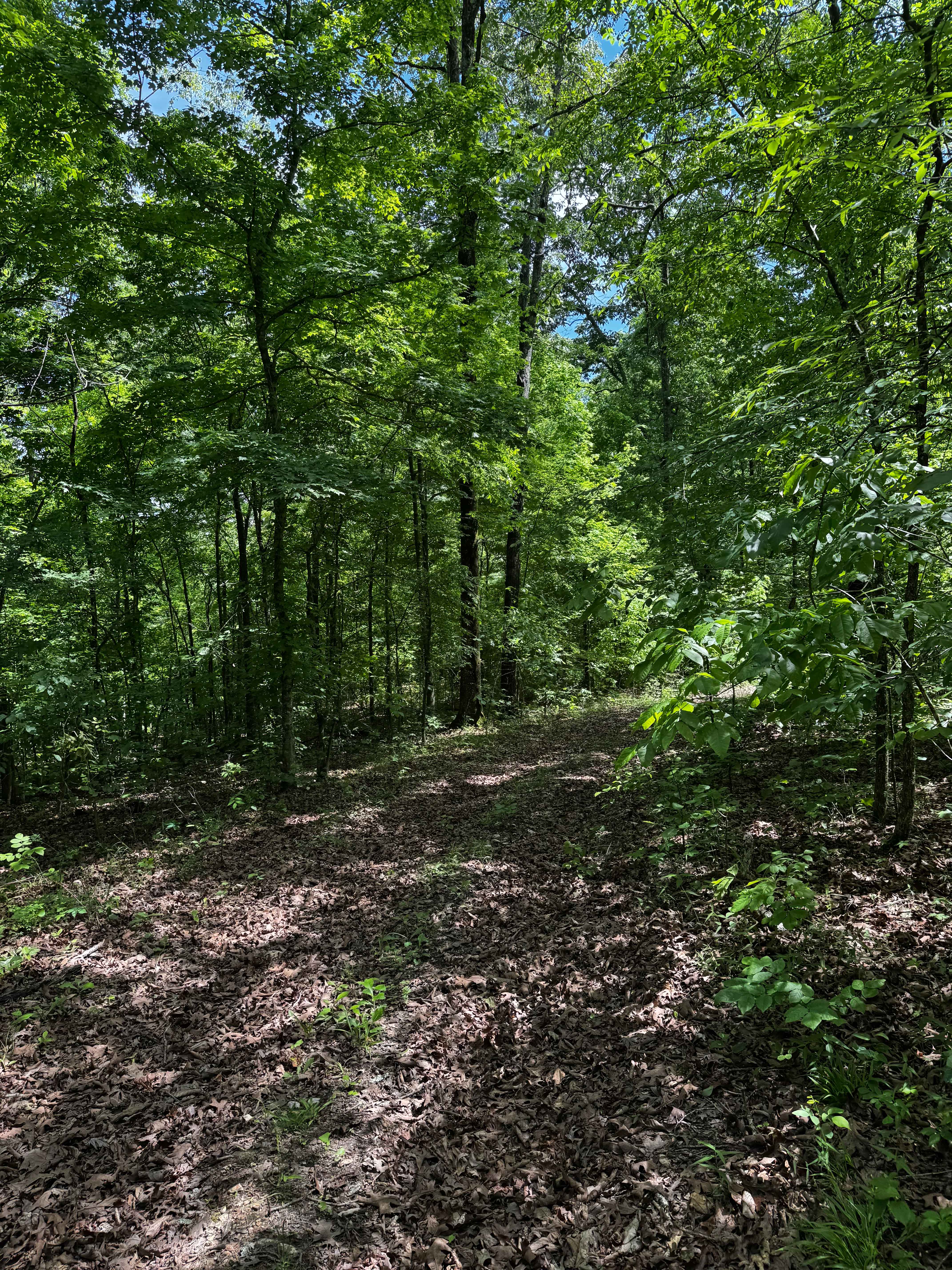
Trail Overview
This route follows a wide, well-maintained gravel road that is easy to navigate and comfortable for most vehicles. The surface is generally smooth, with no significant obstacles or technical challenges along the way. Several side roads and offshoots branch off from the main route, offering opportunities to explore additional spurs or dispersed areas if desired. For much of the drive, the road runs parallel to an older U.S. Government railroad line, which appears to be used occasionally by BNSF for railcar or locomotive storage, adding an interesting historical and industrial backdrop to the journey.
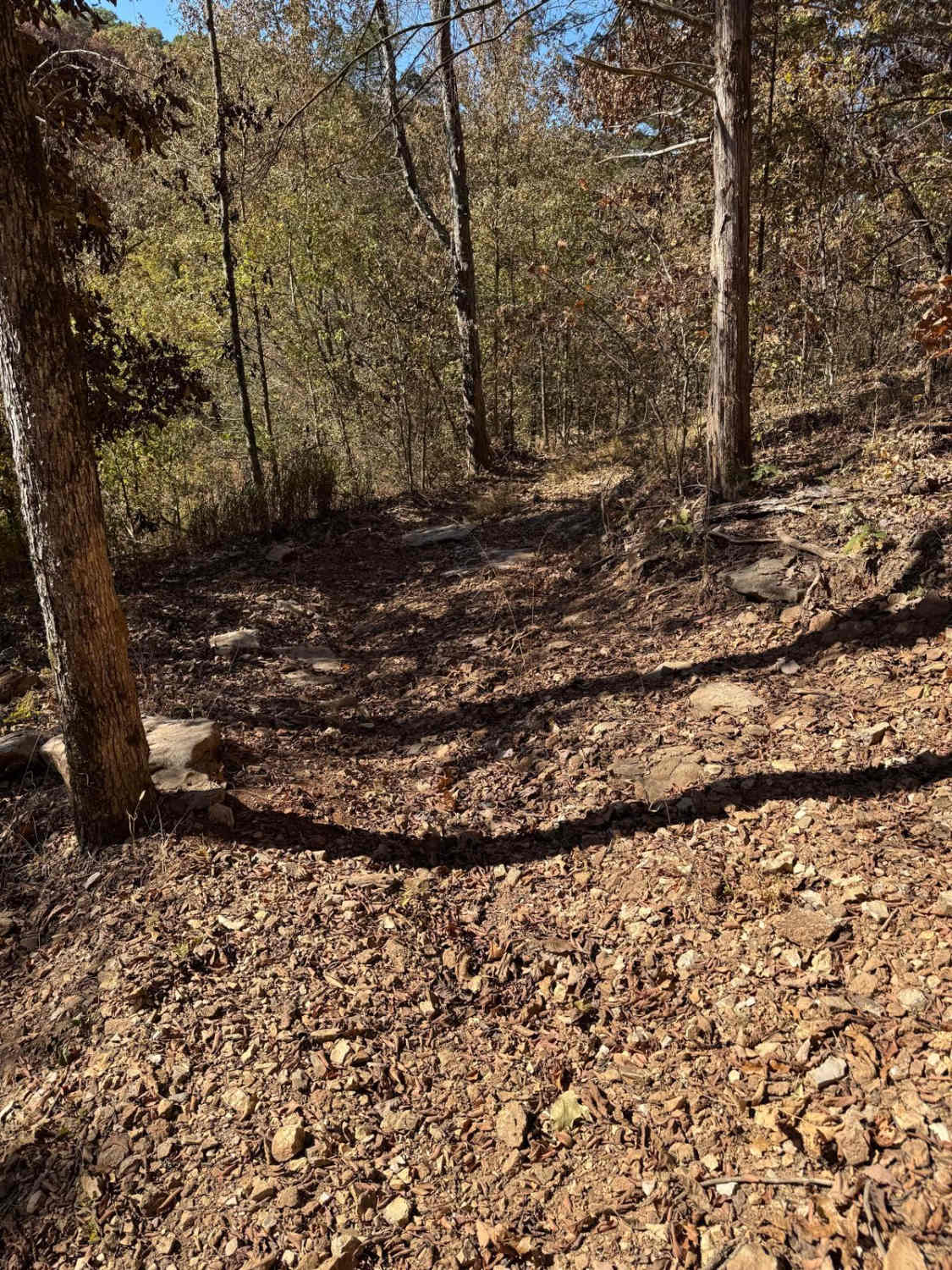
Photos of FS 1727
Difficulty
This route is solidly in the easy category. The road is wide, well-maintained, and free of major obstacles, making it suitable for nearly any vehicle with basic ground clearance. There are no technical sections, steep climbs, or water crossings to navigate. This is a relaxed gravel drive rather than a technical trail, ideal for casual exploration or scenic cruising.
Status Reports
FS 1727 can be accessed by the following ride types:
- High-Clearance 4x4
- SUV
- SxS (60")
- ATV (50")
- Dirt Bike
FS 1727 Map
Popular Trails
Cyclone Road
Ranger Smith
Hillside 69
The onX Offroad Difference
onX Offroad combines trail photos, descriptions, difficulty ratings, width restrictions, seasonality, and more in a user-friendly interface. Available on all devices, with offline access and full compatibility with CarPlay and Android Auto. Discover what you’re missing today!