Canal Branch Road
Total Miles
2.9
Technical Rating
Best Time
Spring, Summer, Fall, Winter
Trail Type
Full-Width Road
Accessible By
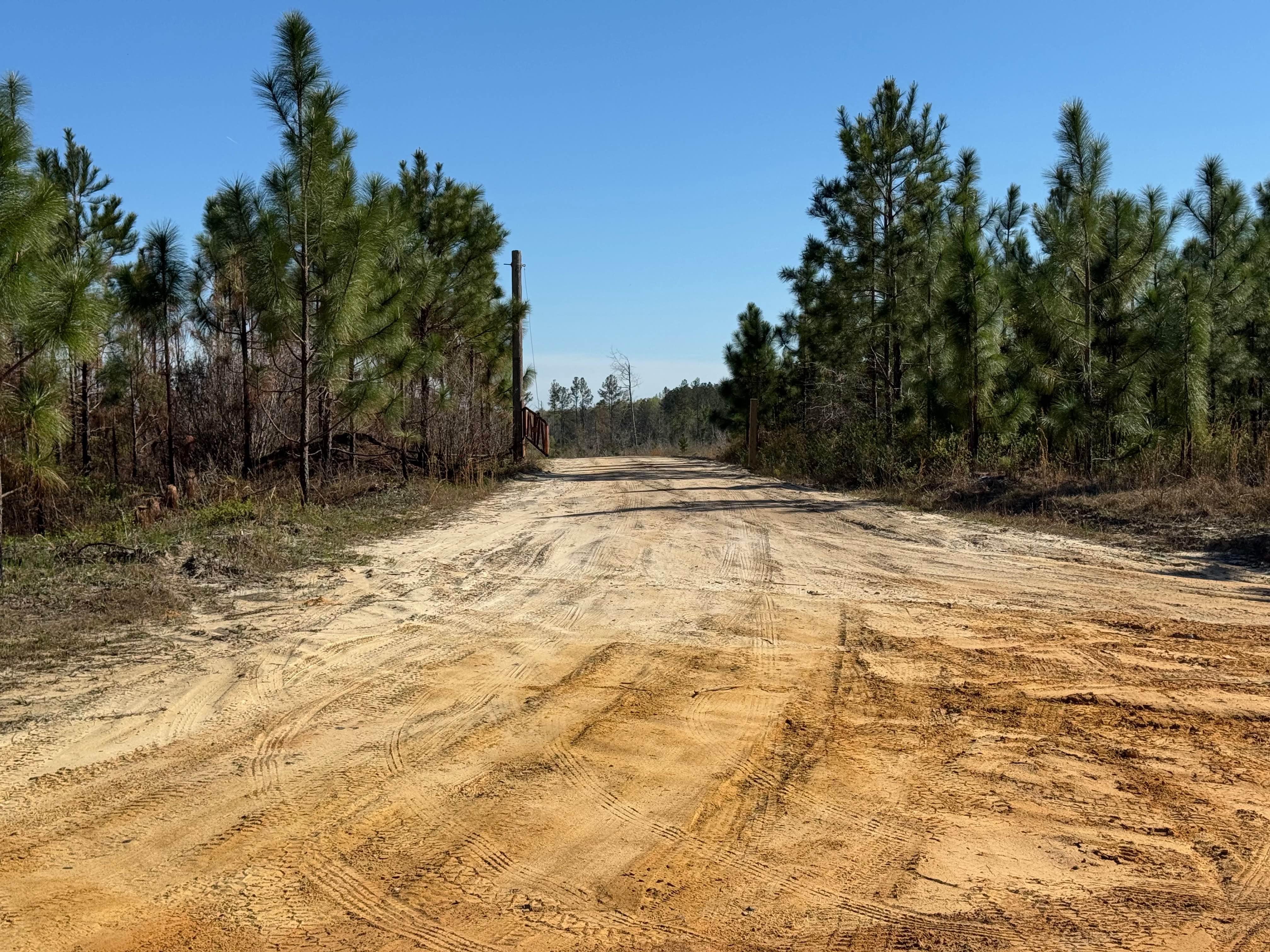
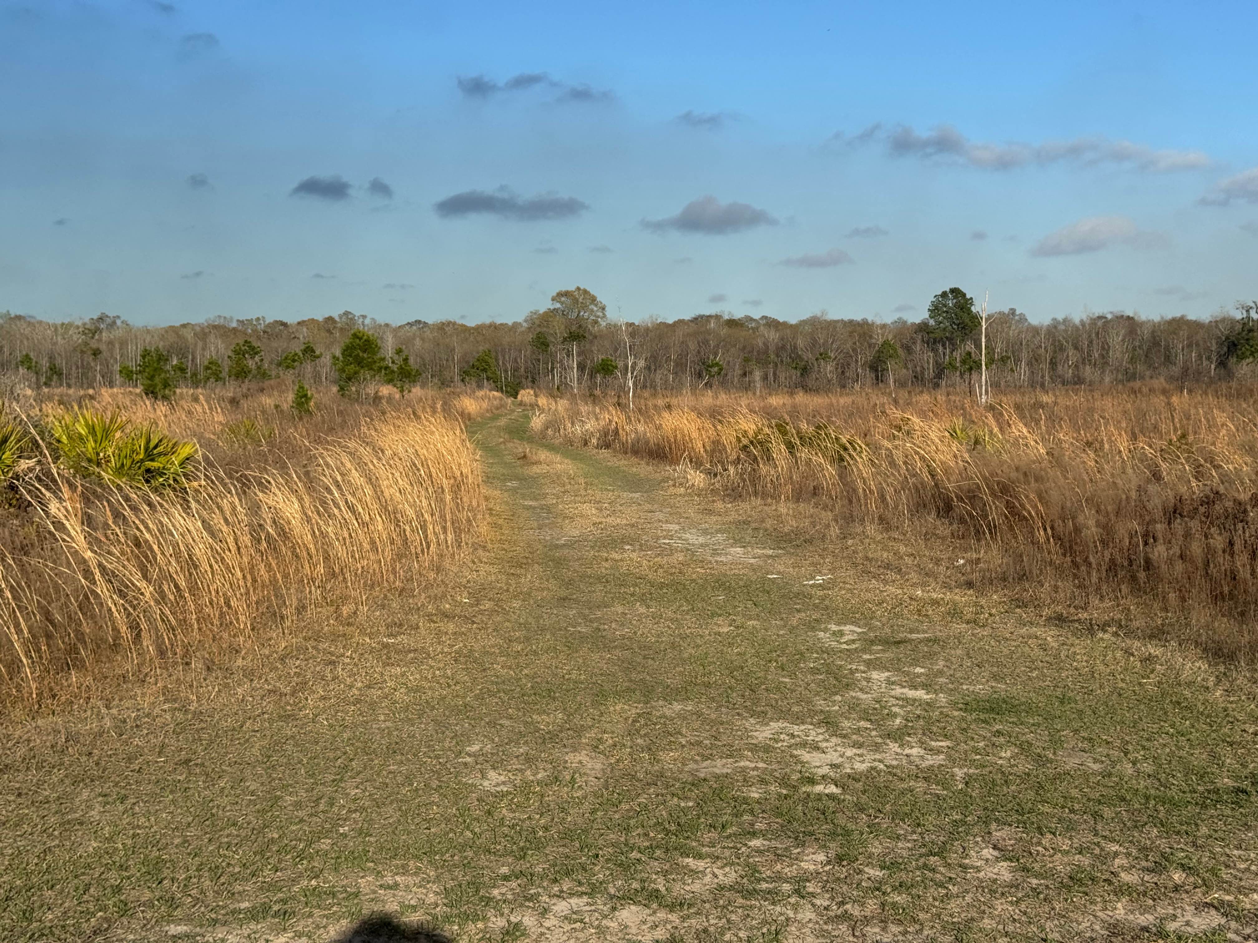
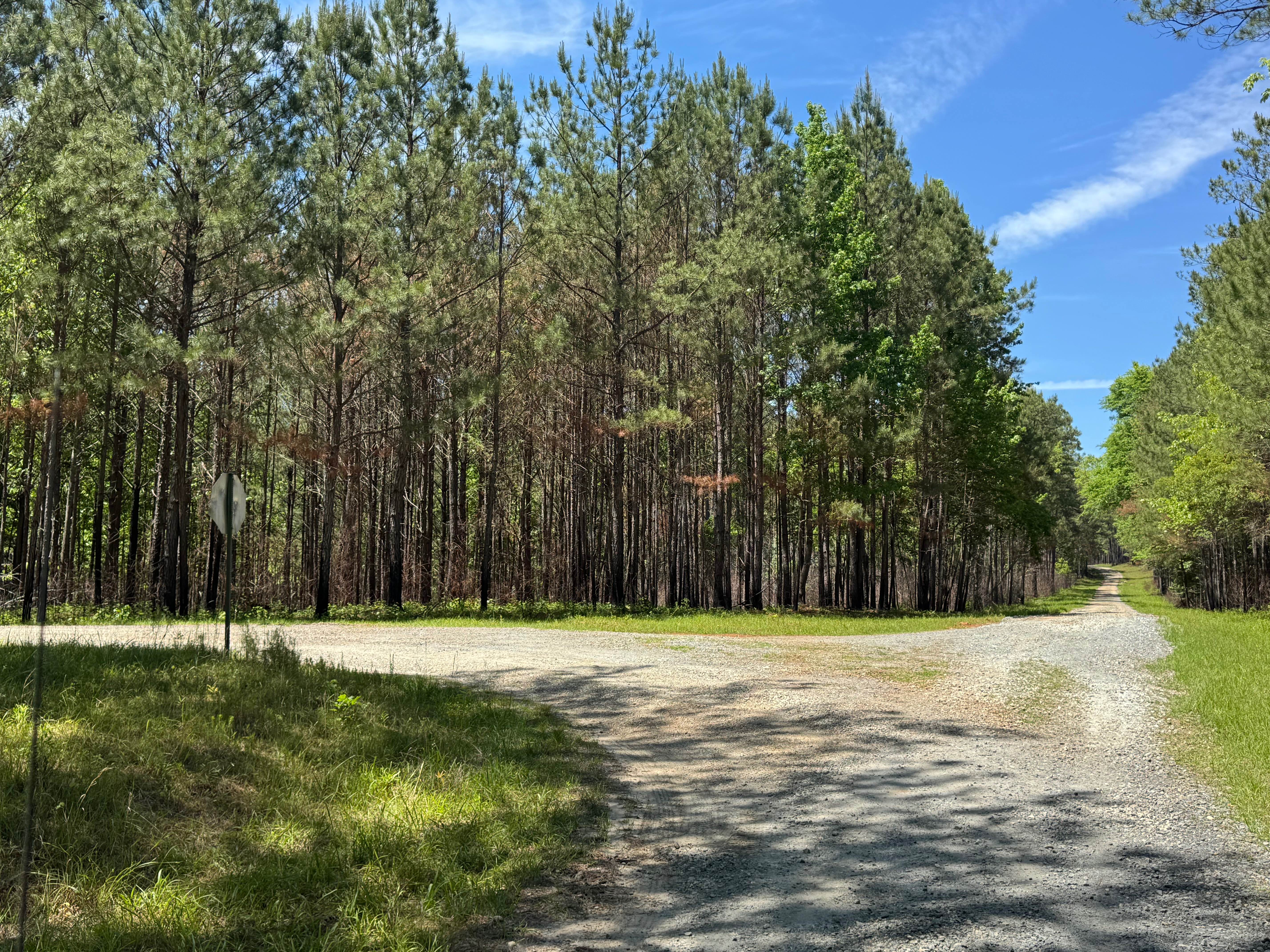
Trail Overview
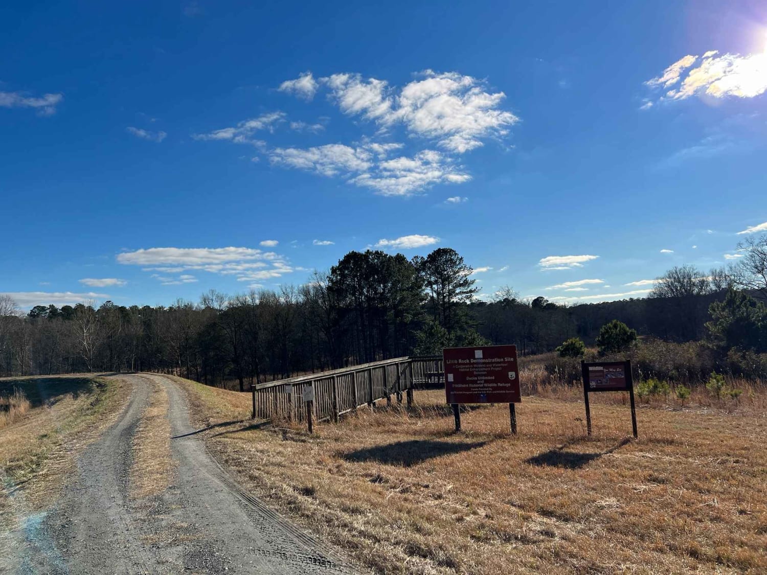
Canal Branch Road runs the full spectrum of road base as it travels from Howard Road on the north end, where it is a wide, dry sandy road with numerous hunting path offshoots, to wet dirt and mud on the south end, where pines have been harvested. Even though the trail carries an easy rating, it is not advised to try to travel the southern end without a high-clearance 4x4 vehicle, especially during wet weather. It connects to Jackson Island Road and Sawgrass Road along its length, giving access to other trails in the Sansavilla complex. Canal Branch Road is entirely within the Sansavilla WMA, and a valid Georgia Hunting or Fishing license is required to access the trail. Allowed vehicle types are restricted to street-licensed vehicles unless during specified hunts, when other offroad vehicles (ATV, UTV, SxS) are allowed but only during certain hours.
Photos of Canal Branch Road
Difficulty
The south end has numerous mud holes and muddy areas that require careful consideration. Generally, one vehicle wide with room to pass.
Status Reports
Canal Branch Road can be accessed by the following ride types:
- High-Clearance 4x4
- SUV
Canal Branch Road Map
Popular Trails

Barron Russell Road
Little Rock Wildlife Drive
The onX Offroad Difference
onX Offroad combines trail photos, descriptions, difficulty ratings, width restrictions, seasonality, and more in a user-friendly interface. Available on all devices, with offline access and full compatibility with CarPlay and Android Auto. Discover what you’re missing today!