Butte Lake
Total Miles
6.6
Technical Rating
Best Time
Spring, Summer, Fall
Trail Type
Full-Width Road
Accessible By
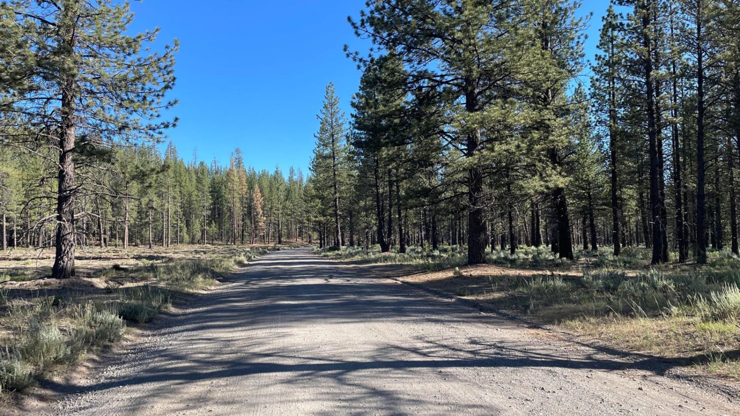
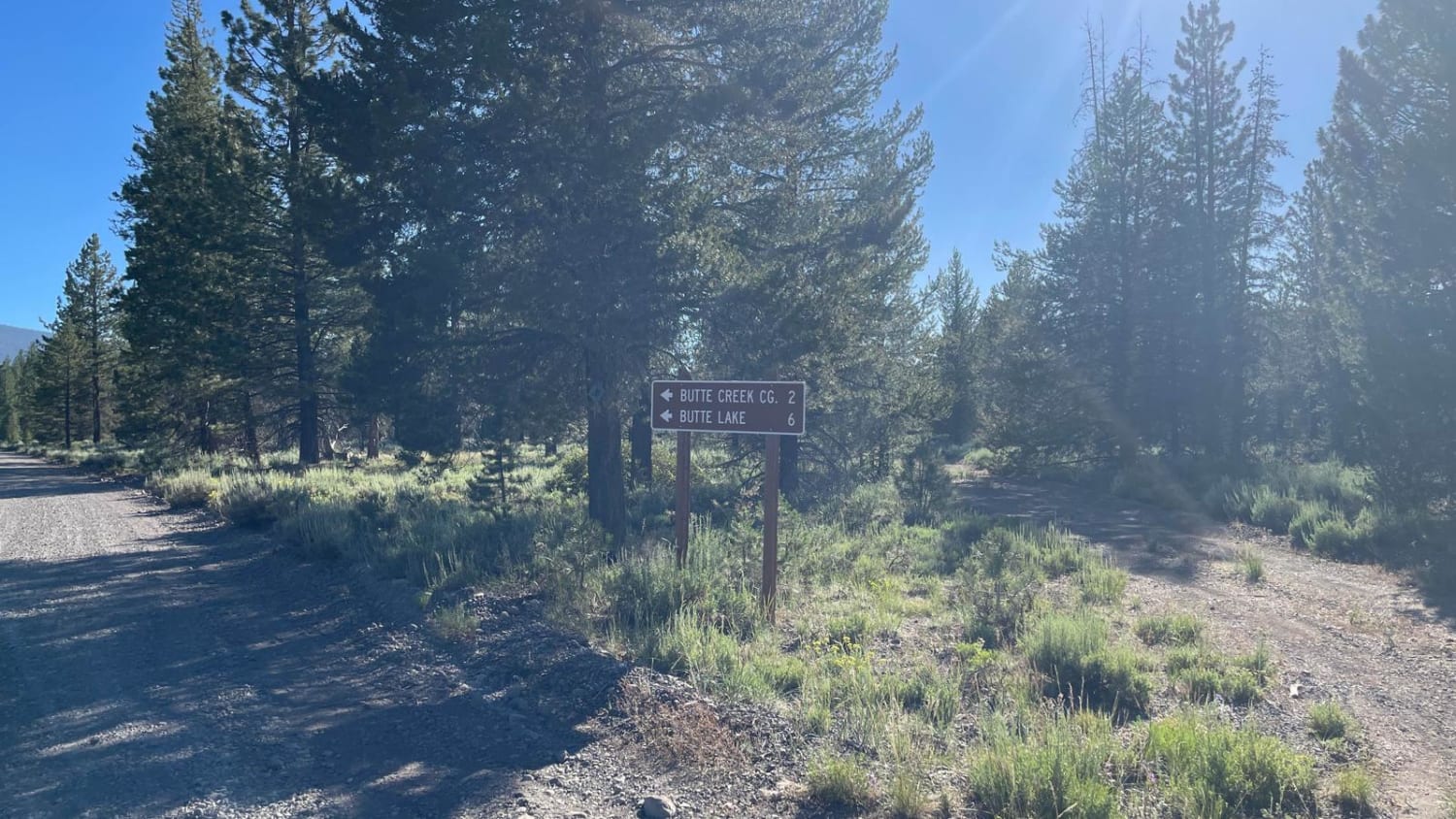
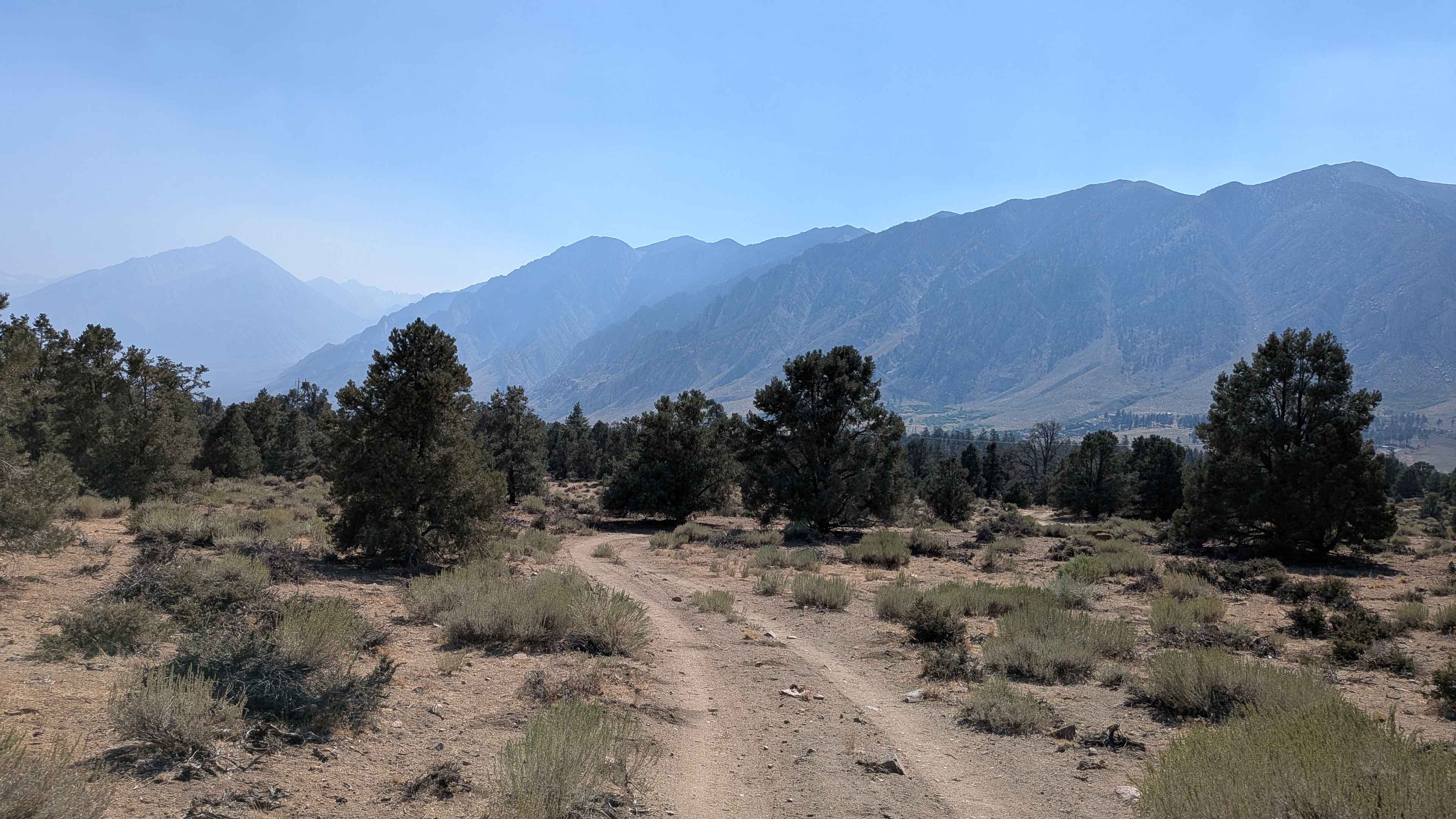
Trail Overview
This trail begins at Highway 44, travels through Lassen National Forest into Lassen Volcanic National Park, and concludes at Butte Lake. The trail is not technical, but can be eroded and present long stretches of washboards. Butte Lake, Campground, Ranger Station, and Cinder Cone hike can all be found at the conclusion of the trail.
Photos of Butte Lake
Difficulty
The trail is a hard-packed gravel road and is not technical, however can be eroded after adverse weather. Snow, long stretches of washboards, and fallen trees are common.
Status Reports
Butte Lake can be accessed by the following ride types:
- High-Clearance 4x4
- SUV
- Dirt Bike
Butte Lake Map
Popular Trails
16E08 Las Chiches

Renstock Ridge - 2N79
Forest Service Road 31E311
The onX Offroad Difference
onX Offroad combines trail photos, descriptions, difficulty ratings, width restrictions, seasonality, and more in a user-friendly interface. Available on all devices, with offline access and full compatibility with CarPlay and Android Auto. Discover what you’re missing today!