Chewelah-Clayton
Total Miles
56.2
Technical Rating
Best Time
Trail Type
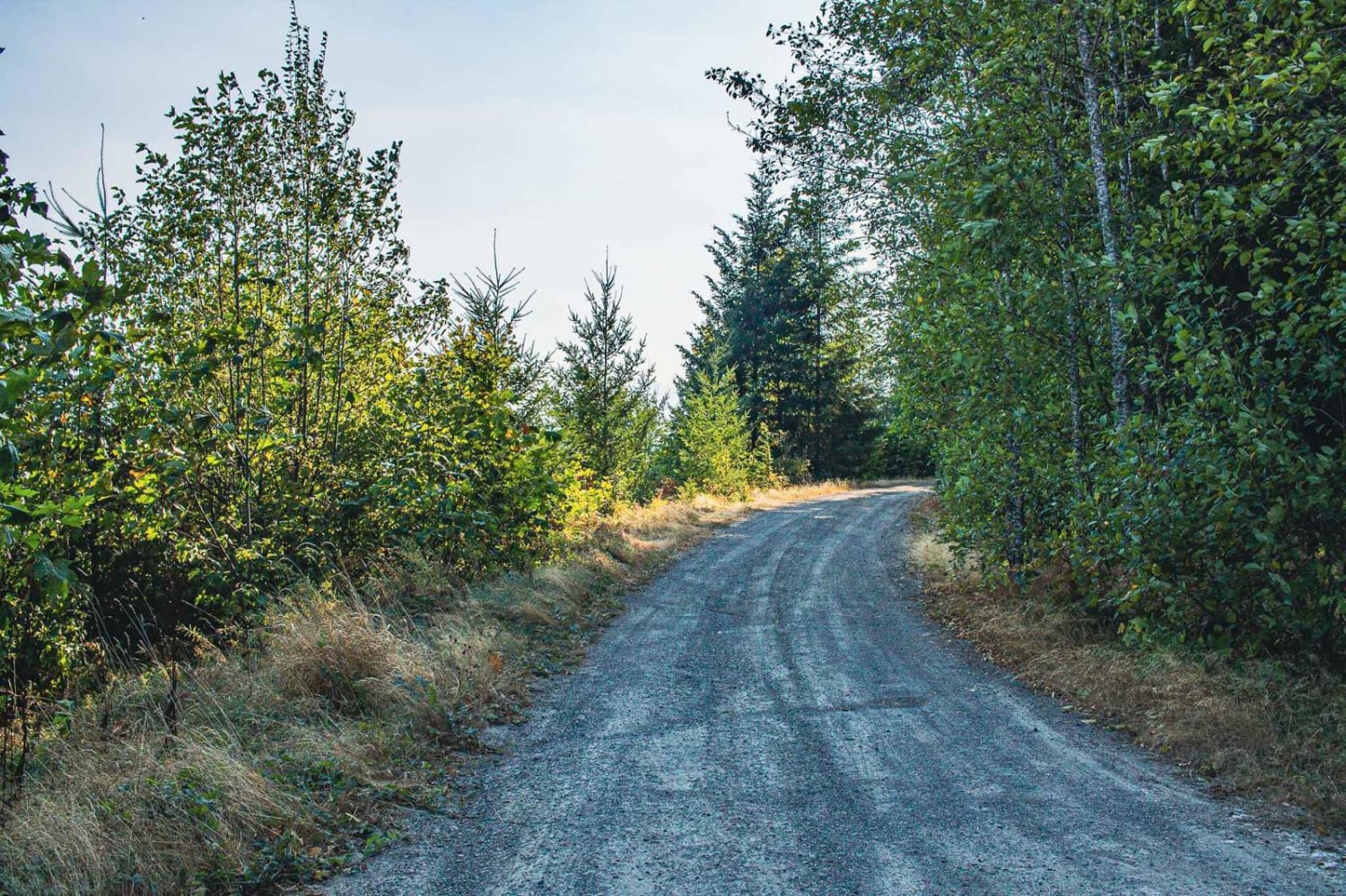
Full-Width Road
Accessible By
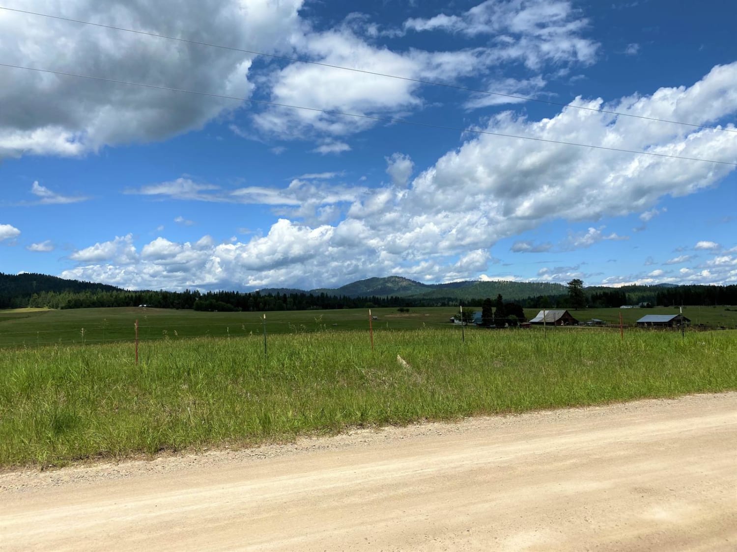
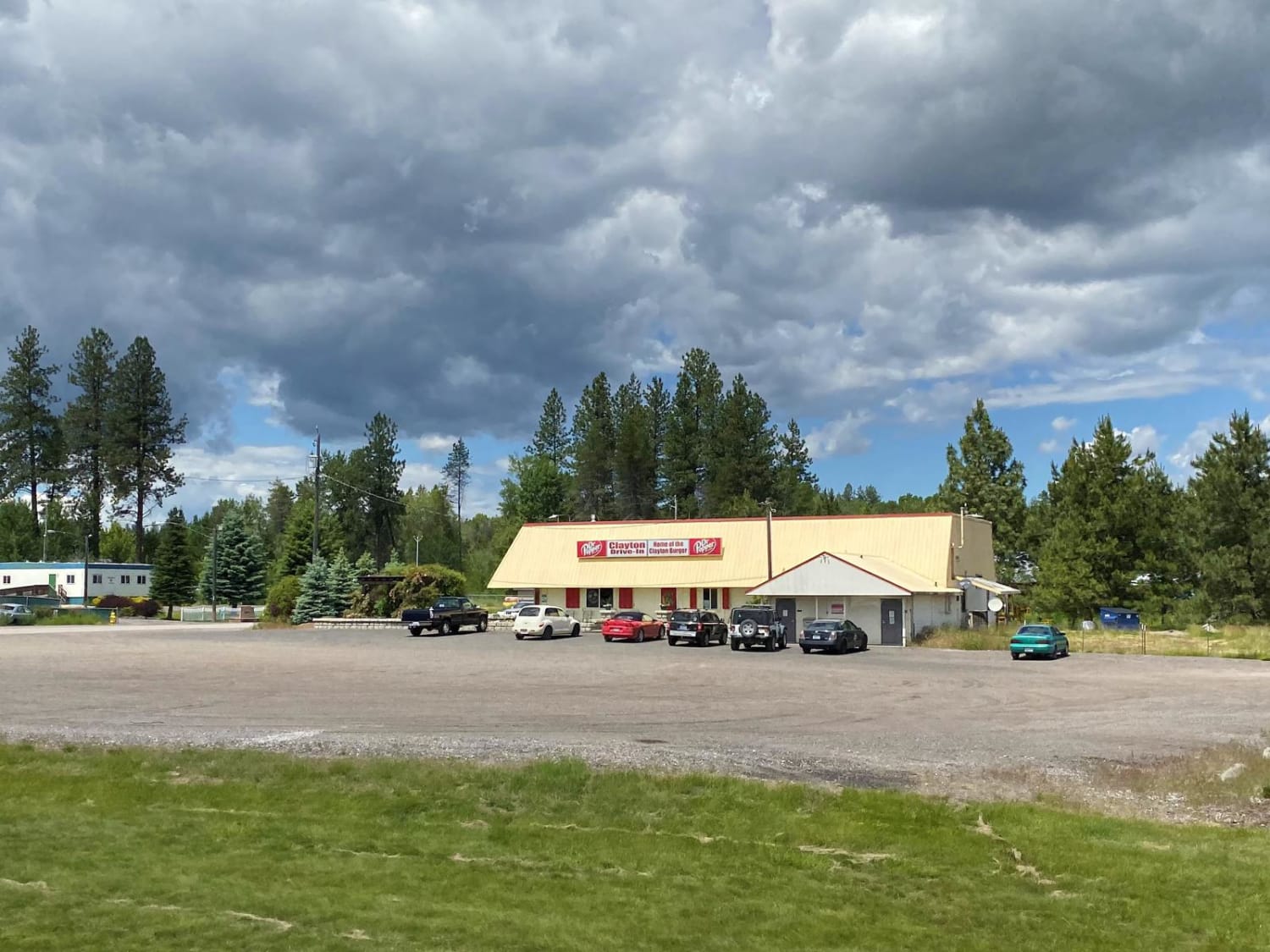
Trail Overview
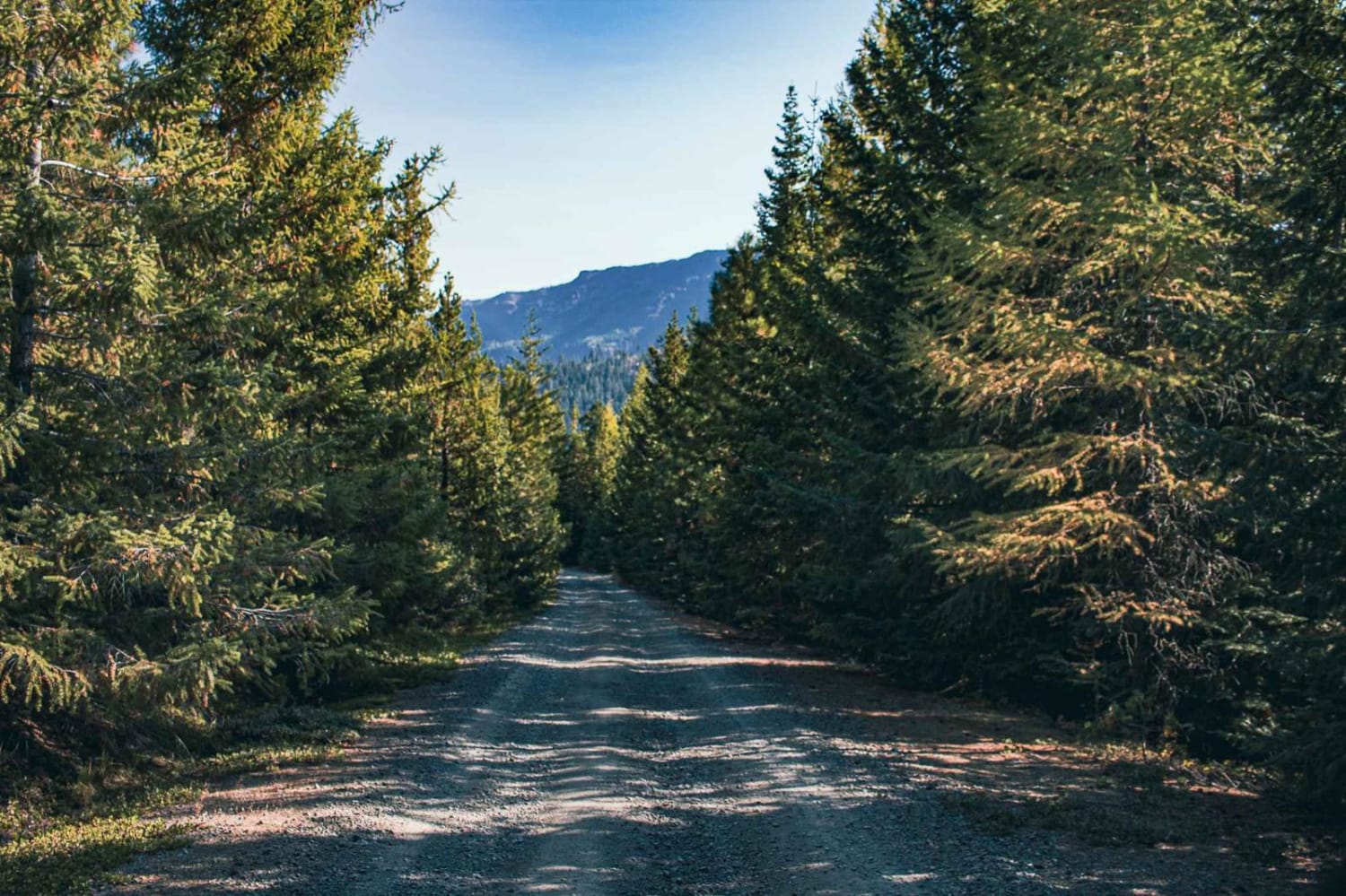
This route is an easy, family oriented excursion ride on county roads. It is a two-way paved and gravelled road system. Many small farms, forested areas, and open meadows will be seen.
Photos of Chewelah-Clayton
Status Reports
Chewelah-Clayton can be accessed by the following ride types:
- High-Clearance 4x4
- SUV
- SxS (60")
- ATV (50")
- Dirt Bike
Chewelah-Clayton Map
Popular Trails
Tahuya -Trail 55
Total Miles
0.9
Tech Rating
Difficult
Best Time
Wi / Fa / Su / Sp
Short and Dirty
Total Miles
3.8
Tech Rating
Easy
Best Time
Sp / Su / Fa / Wi

Evergreen Mountain
Total Miles
9.6
Tech Rating
Easy
Best Time
Sp / Su / Fa
The onX Offroad Difference
onX Offroad combines trail photos, descriptions, difficulty ratings, width restrictions, seasonality, and more in a user-friendly interface. Available on all devices, with offline access and full compatibility with CarPlay and Android Auto. Discover what you’re missing today!