Whites Gap Road
Total Miles
1.3
Technical Rating
Best Time
Spring, Summer, Fall, Winter
Trail Type
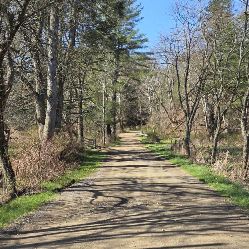
Full-Width Road
Accessible By
Trail Overview
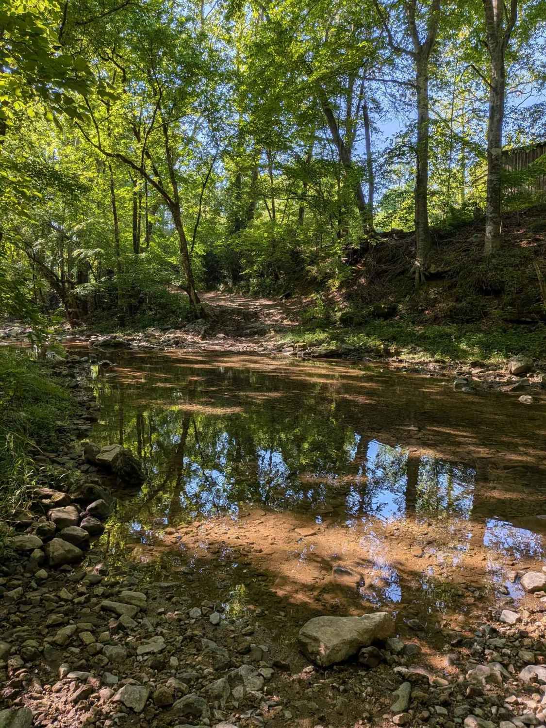
Whites Gap Road is a public road in southern Tennessee, located just north of the Alabama border. The route is primarily gravel with several rocky creek crossings that can add a bit of challenge depending on conditions. Traveling from north to south, you'll encounter a creek crossing with a steep embankment on the exit, which can become difficult when wet. After heavy rain, the creek crossings may become very deep and are prone to flash flooding, so use caution and check conditions before attempting the route. There is a small parking area near the creek crossing, but visitors should be aware that all surrounding land is private property. Please respect posted boundaries and stay on the public roadway. This is a public road, and only street-legal vehicles are permitted.
Photos of Whites Gap Road

Difficulty
Easy trail with a few creek crossings that can be deep. There is a steep exit/entry point on one of the creek crossings.
Status Reports
Whites Gap Road can be accessed by the following ride types:
- High-Clearance 4x4
- SUV
Whites Gap Road Map
Popular Trails

Jones Creek Road

Wix Hollow Road - Macon County Tour

Tooley Branch Road
The onX Offroad Difference
onX Offroad combines trail photos, descriptions, difficulty ratings, width restrictions, seasonality, and more in a user-friendly interface. Available on all devices, with offline access and full compatibility with CarPlay and Android Auto. Discover what you’re missing today!