Gurley Saddle
Total Miles
6.4
Technical Rating
Best Time
Fall, Summer, Spring
Trail Type
High-Clearance 4x4 Trail
Accessible By
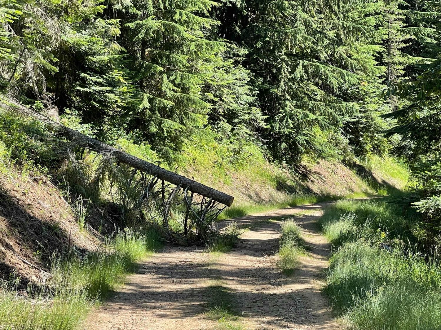
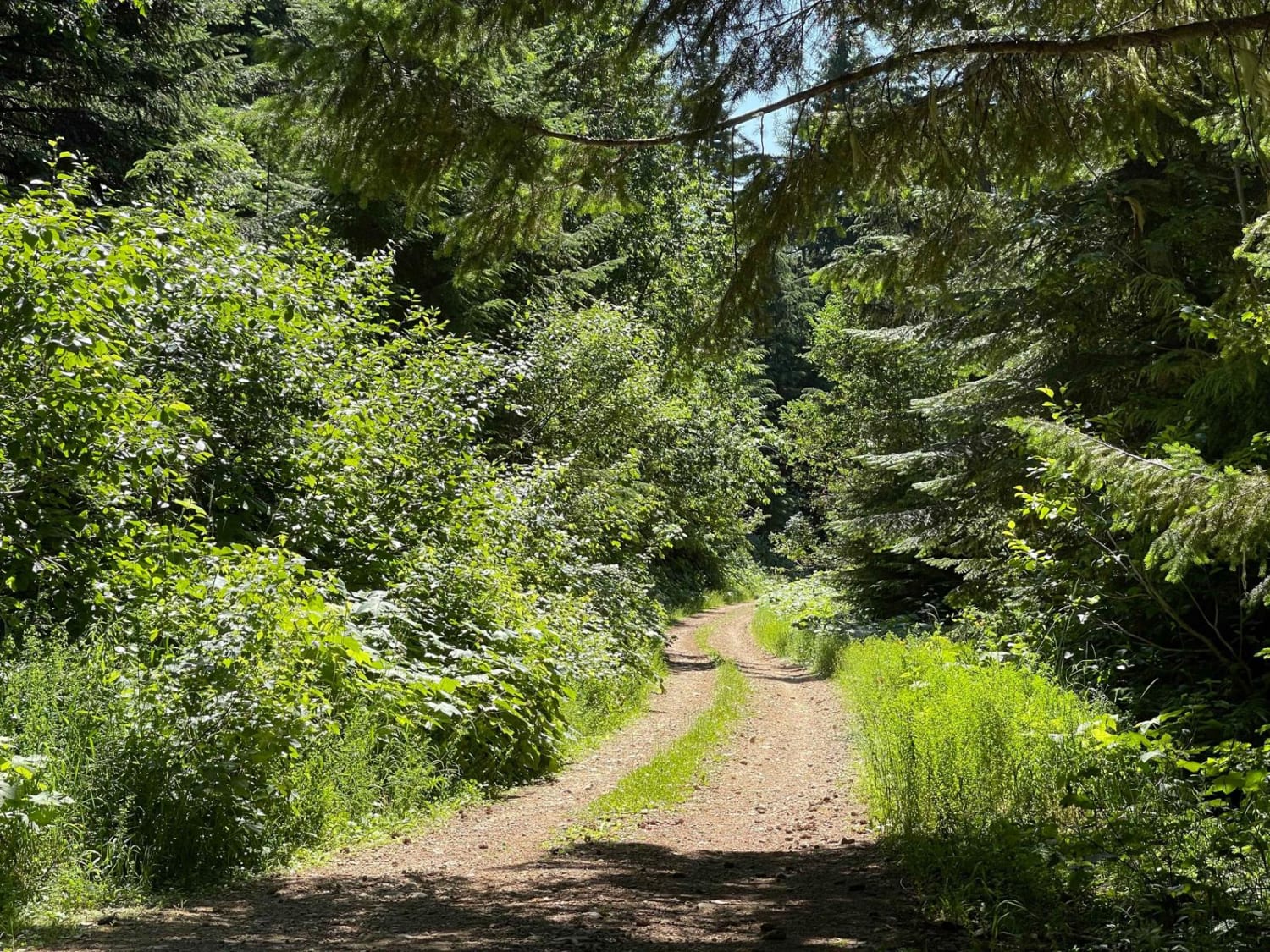
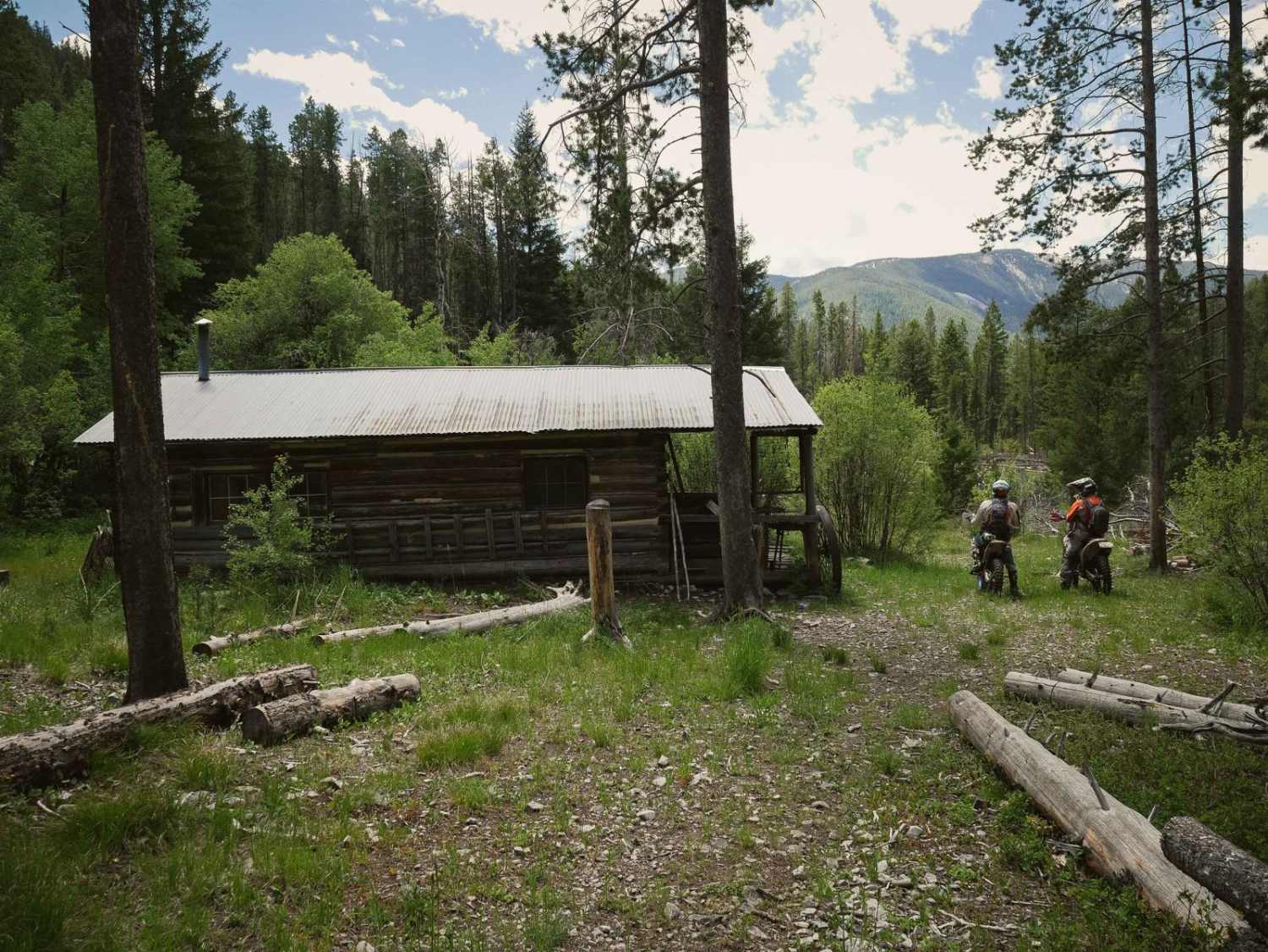
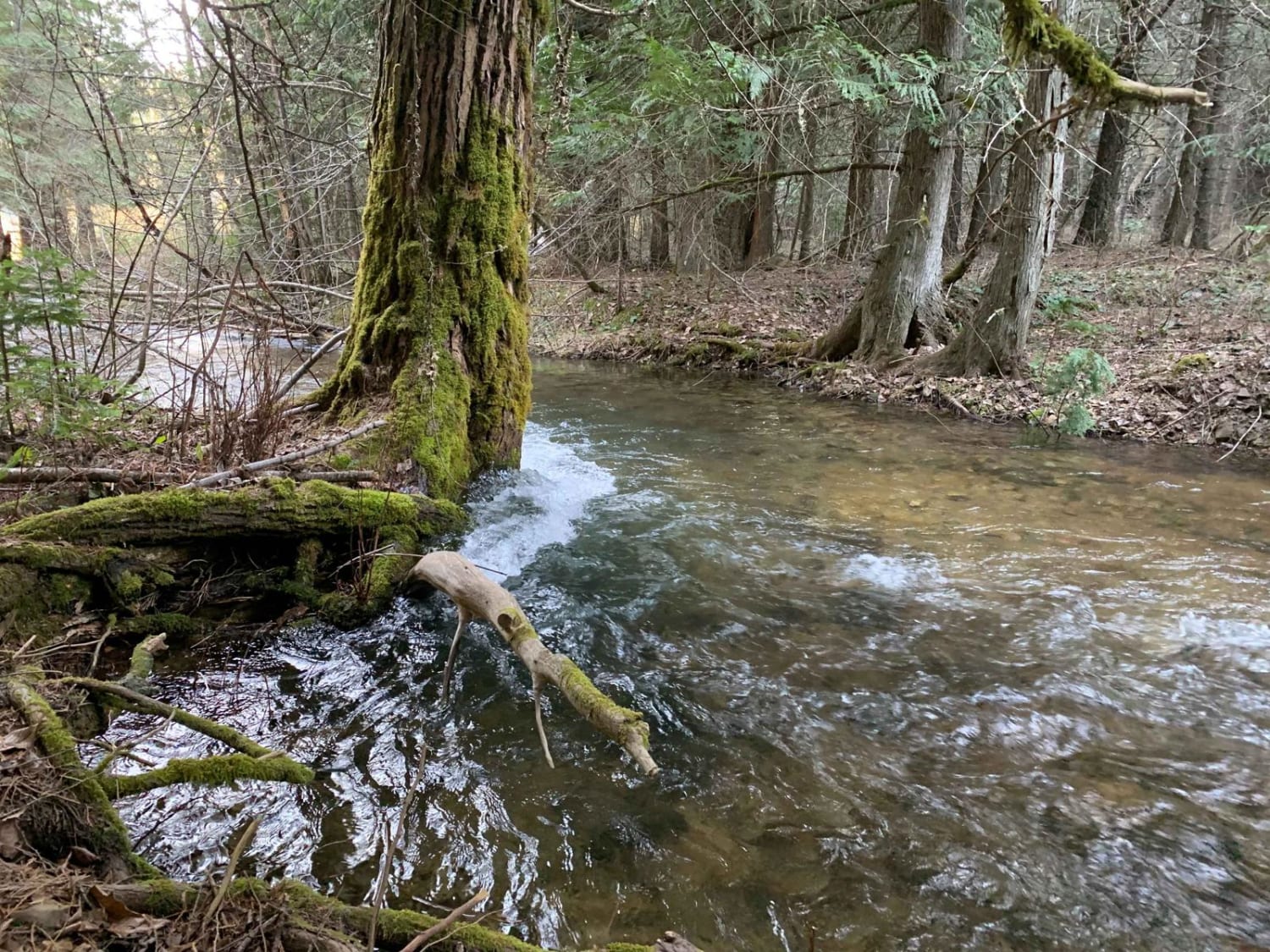
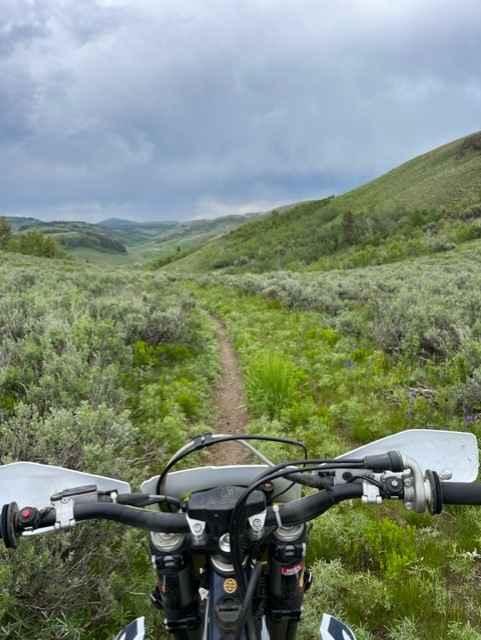
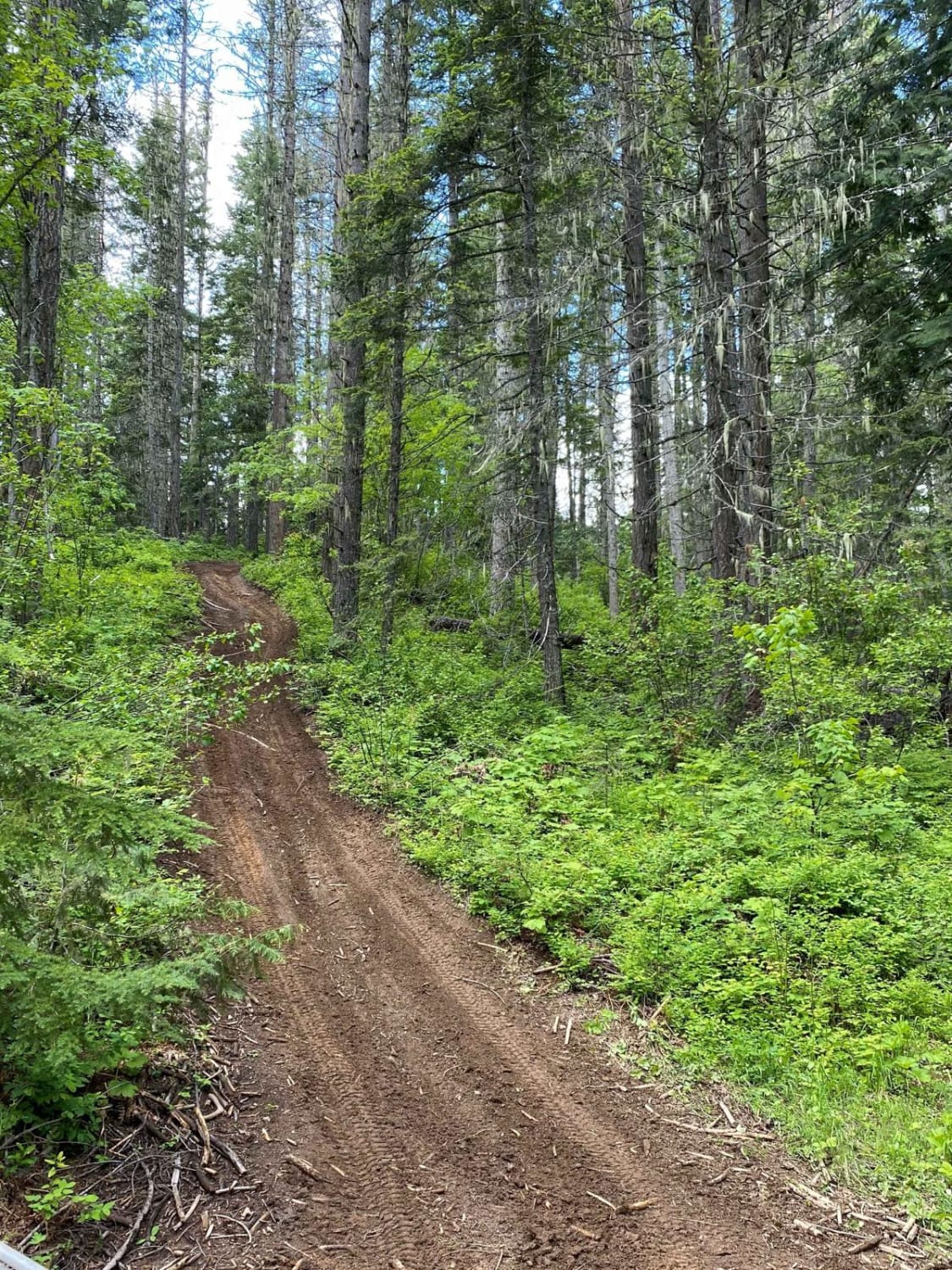
Trail Overview
This trail heads up into the hills from the main graded trail below. Near the bottom is the Little North Fork of the CDA River, with a few dispersed camping spots. From there, the trail ascends the hill getting very narrow in some places with lots of downed trees and a narrow off-camber route around them. There are some deep ruts in the trail and many low-hanging trees. At the top, take the Lavoie OHV trail, or loop back to the main route via Cascade Picnic. There is no cell service.
Photos of Gurley Saddle
Difficulty
Narrow and off-camber sections, lots of downed trees and ruts. Low hanging tree branches.
Gurley Saddle can be accessed by the following ride types:
- High-Clearance 4x4
- SxS (60")
- ATV (50")
- Dirt Bike
Gurley Saddle Map
Popular Trails
Sheep Creek
Brown Creek/Downy Creek (207)
Goose Creek Single Track
The onX Offroad Difference
onX Offroad combines trail photos, descriptions, difficulty ratings, width restrictions, seasonality, and more in a user-friendly interface. Available on all devices, with offline access and full compatibility with CarPlay and Android Auto. Discover what you’re missing today!