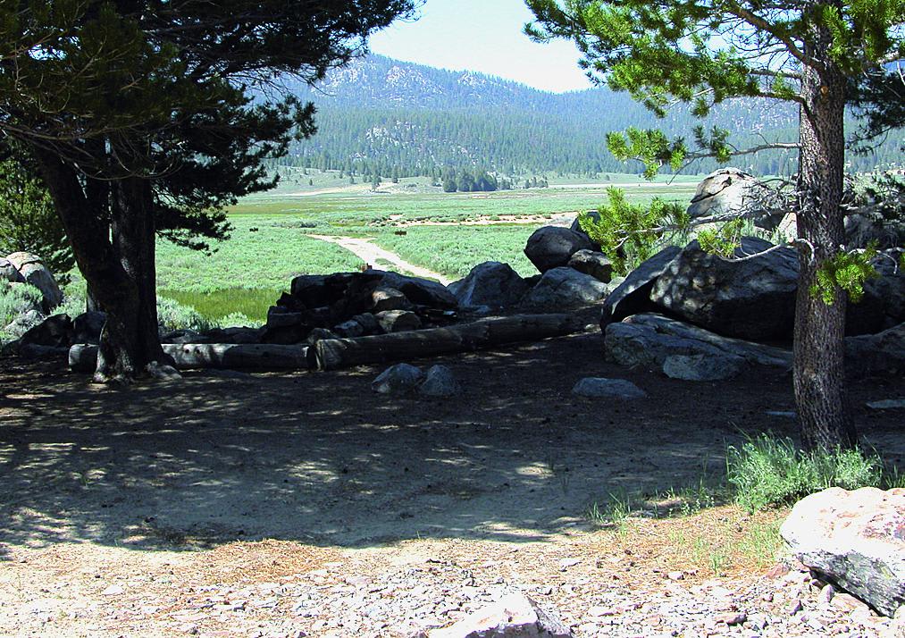
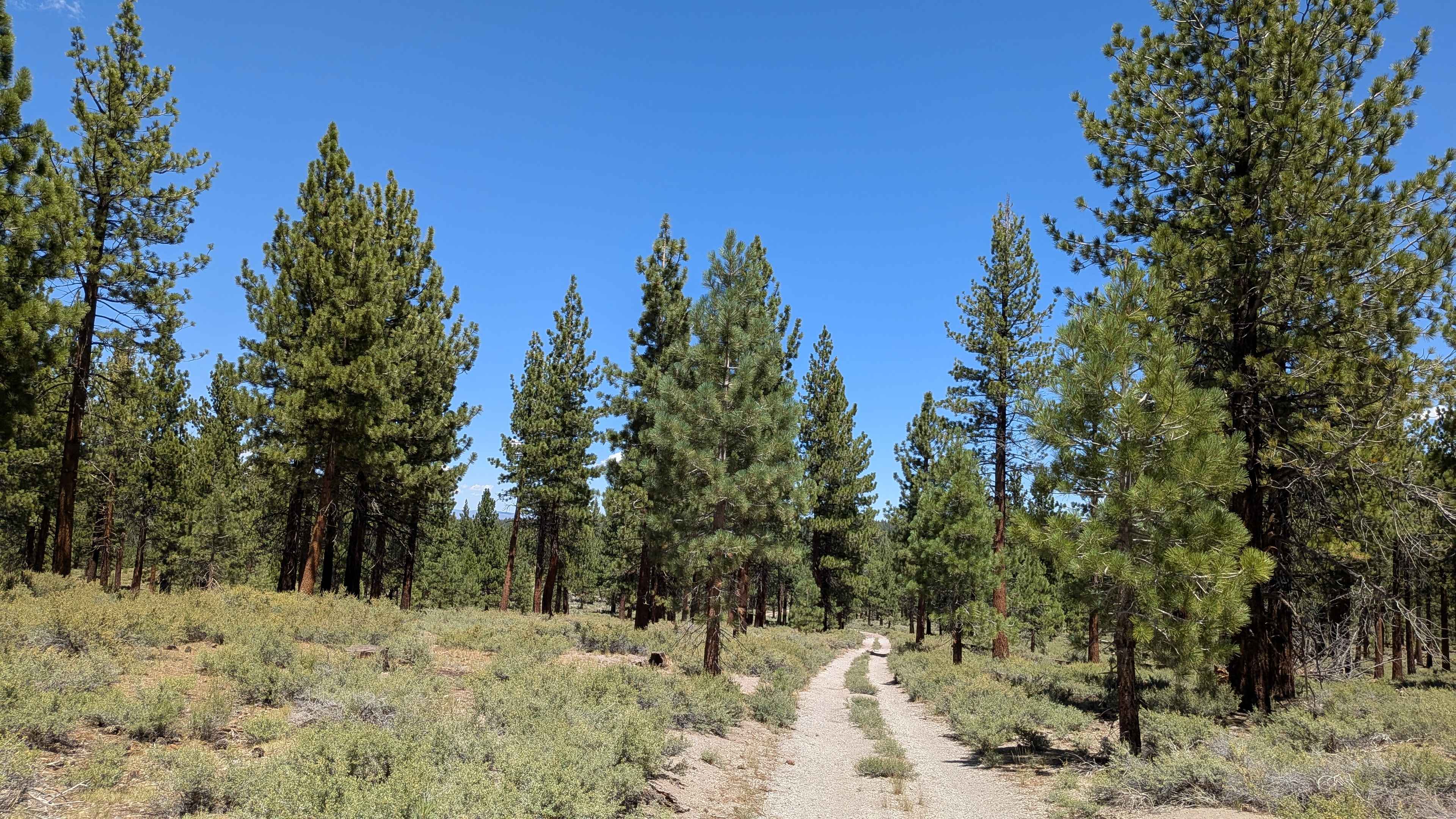
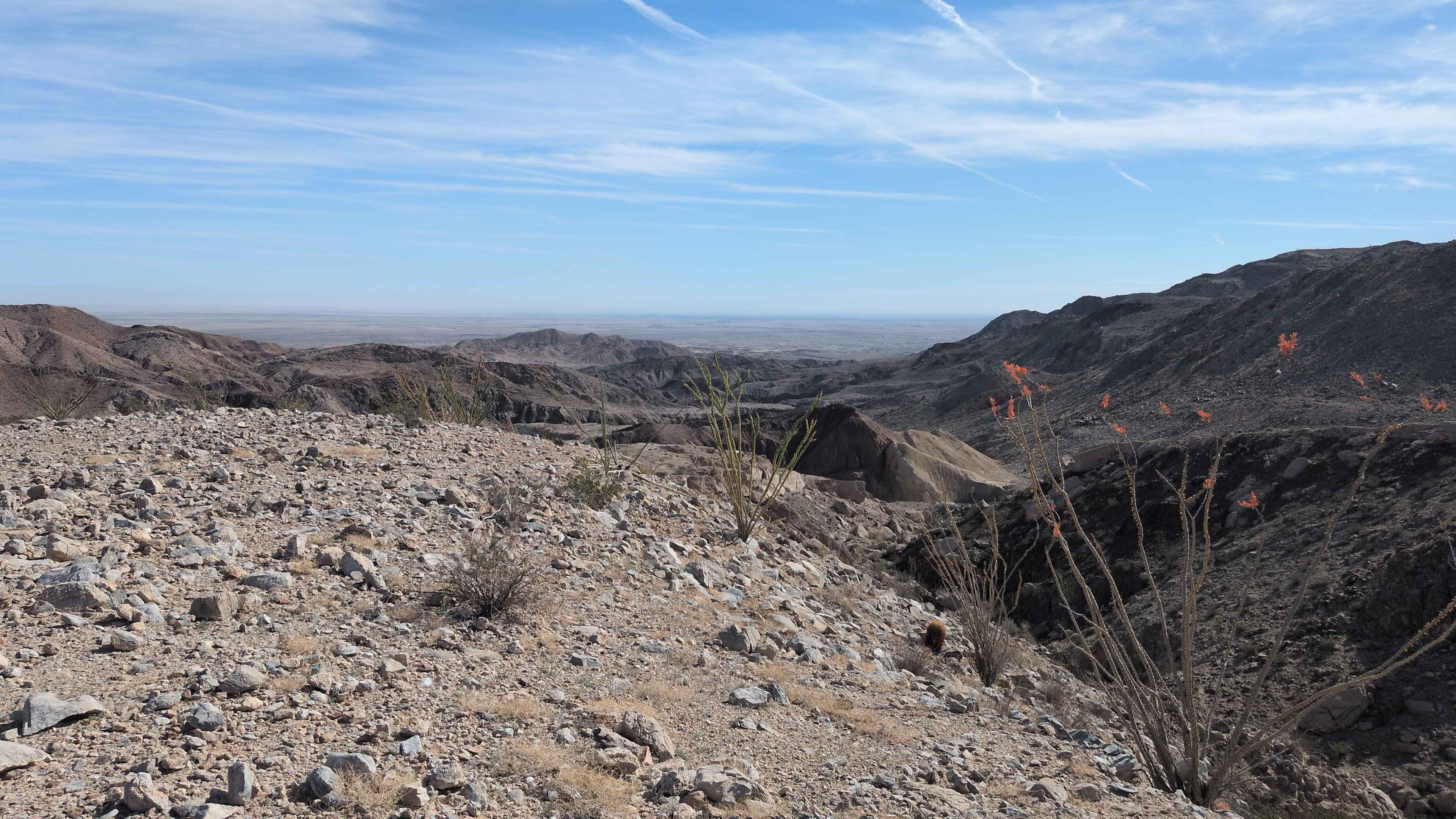
Monache Meadows
Total Miles
9.0
Technical Rating
Best Time
Summer
Trail Type
Full-Width Road
Accessible By
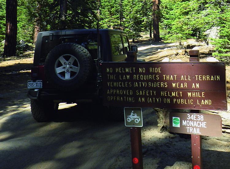
Trail Overview
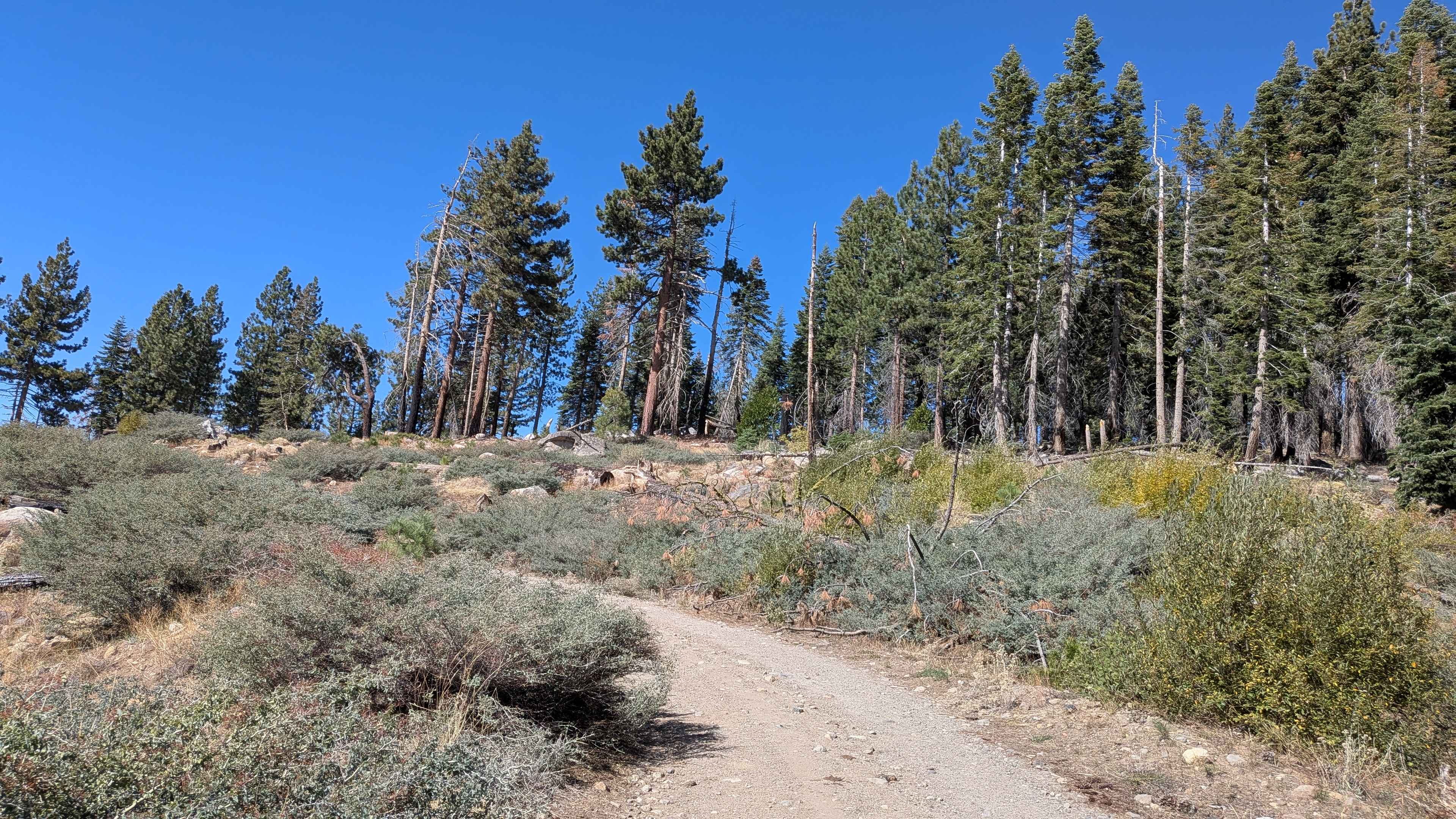
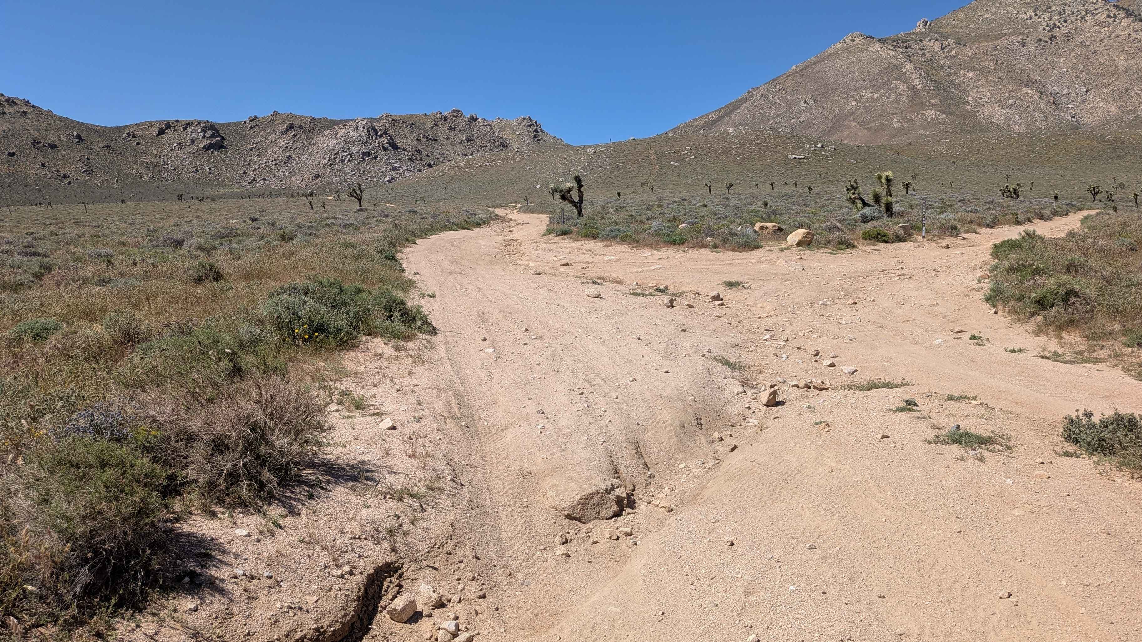
Monache Meadows is a beautiful scenic valley surrounded by wilderness areas. The road follows and crosses the South fork of Kern River. There are great camp spots along the route and at the end. Explore, camp, fish, and relax along the river in this remote, secluded area. Open to green-sticker vehicles, but you must always stay on existing routes.
Photos of Monache Meadows
Difficulty
A few small hills and mildly rocky in places. Sandy whoop-tidos crossing Monache Meadows. River crossings usually shallow, but may be deeper in the spring. Suitable for high-clearance stock SUVs. Four-wheel drive is recommended but is not always necessary if you stay on main route.
Status Reports
Monache Meadows can be accessed by the following ride types:
- High-Clearance 4x4
- SUV
- SxS (60")
- ATV (50")
- Dirt Bike
Monache Meadows Map
Popular Trails
Creek Road - FS 32216
The Dangler - FS 1S70
The Painted Rock Gorge - BLM 130
The onX Offroad Difference
onX Offroad combines trail photos, descriptions, difficulty ratings, width restrictions, seasonality, and more in a user-friendly interface. Available on all devices, with offline access and full compatibility with CarPlay and Android Auto. Discover what you’re missing today!