Grouse Springs-Bear Creek Connector
Total Miles
3.7
Technical Rating
Best Time
Spring, Summer, Fall
Trail Type
Full-Width Road
Accessible By
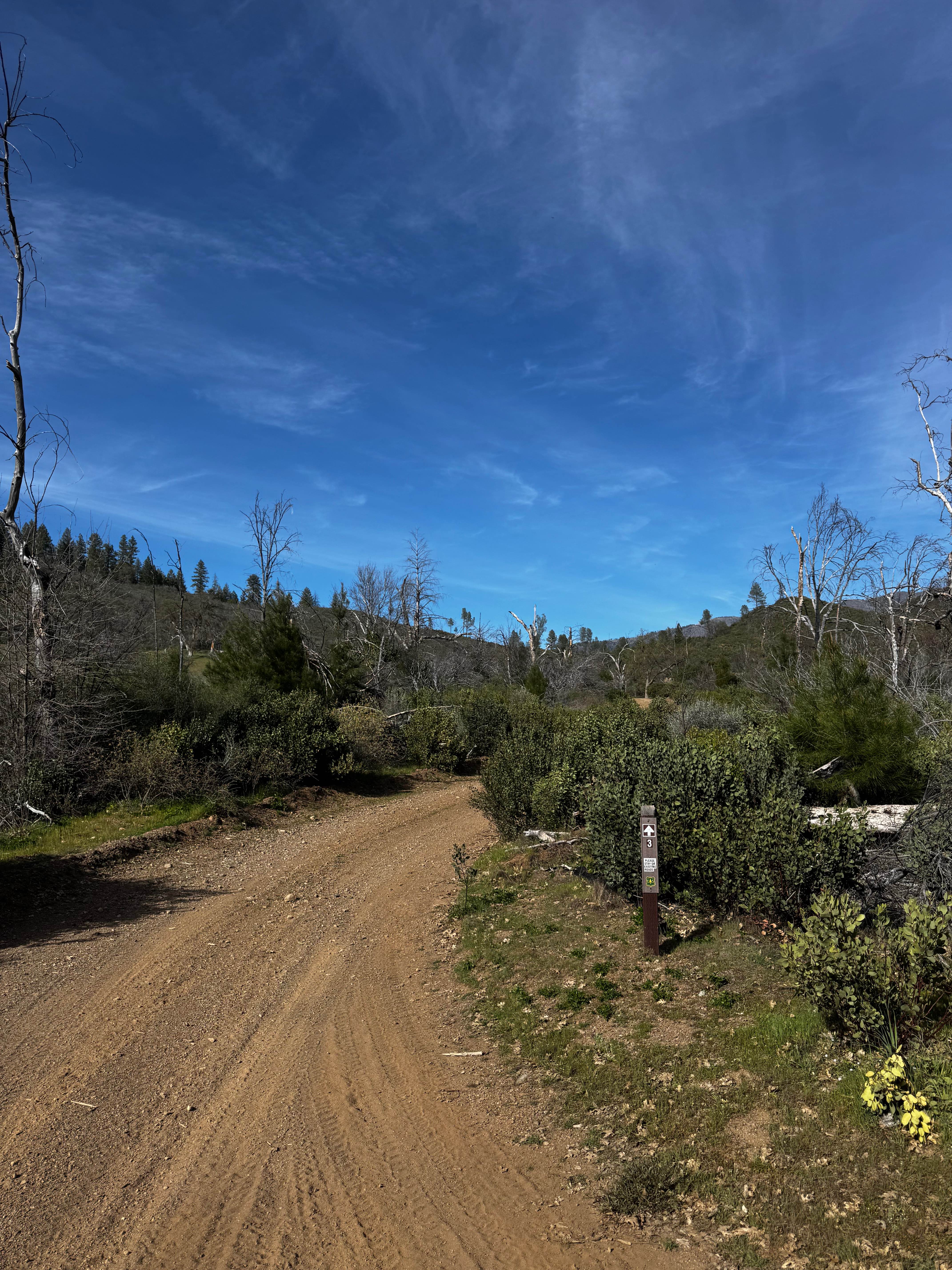
Trail Overview
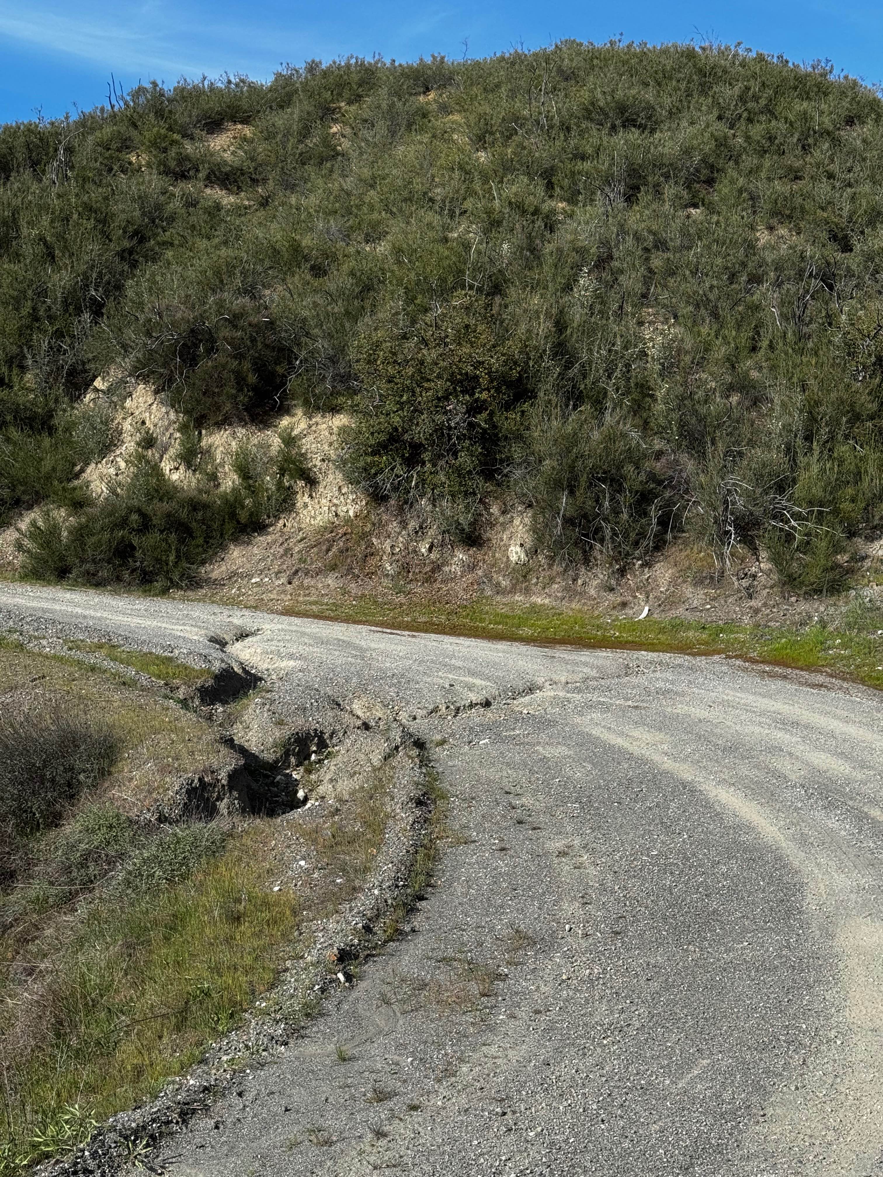
This trail connects M10 to the main M3 route. Single wide with steep sections, off camber, and a water crossing. Multiple washes are about 12" deep and run long lengths of trail and change from a dirt to rock base on the trail a few times. Be careful avoiding some washes, as the side of the trail can be a steep drop in some sections.
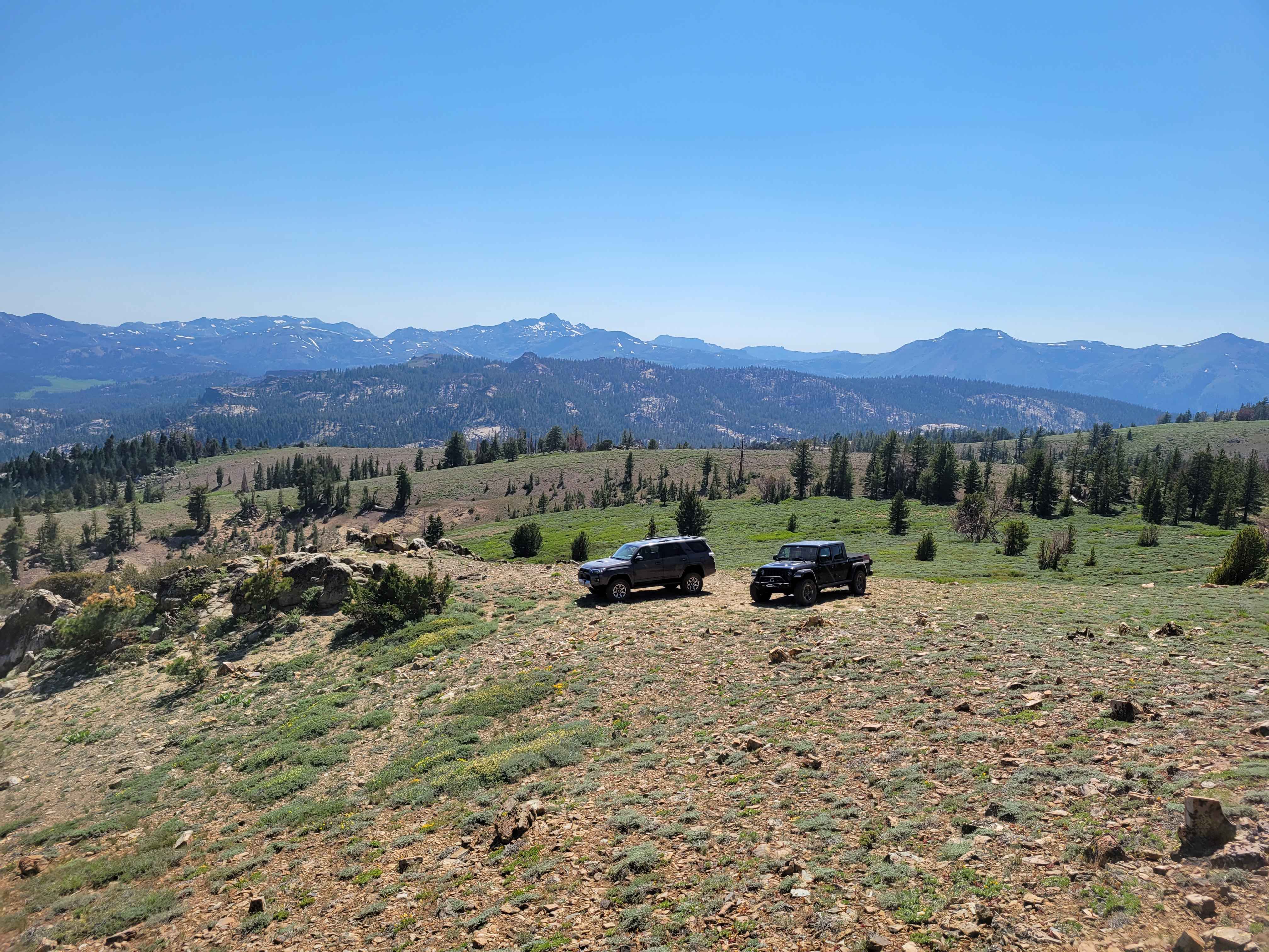
Photos of Grouse Springs-Bear Creek Connector
Difficulty
One vehicle wide, steep, and multiple washes, 12" deep, and a 12" ledge in the water crossing.
Status Reports
Grouse Springs-Bear Creek Connector can be accessed by the following ride types:
- High-Clearance 4x4
- SUV
Grouse Springs-Bear Creek Connector Map
Popular Trails
Horse Mountain - FS 17N27

Pistol Point Trail
The onX Offroad Difference
onX Offroad combines trail photos, descriptions, difficulty ratings, width restrictions, seasonality, and more in a user-friendly interface. Available on all devices, with offline access and full compatibility with CarPlay and Android Auto. Discover what you’re missing today!